The best running trails in Lexington Reservoir County Park
5.0
(2)
1,250
runners
60
runs
Jogging in Lexington Reservoir County Park offers a diverse landscape for runners. The park features a large reservoir, surrounded by rolling hills and dense woodlands, providing a mix of shaded trails and open paths. The terrain includes both gradual ascents and more challenging climbs, with routes often following the contours of the reservoir and extending into the surrounding natural areas. These running routes provide opportunities to explore the park's varied ecosystems and scenic viewpoints.
Best jogging routes in Lexington Reservoir…
Last updated: August 31, 2026
9
runners
5.16km
00:39
180m
180m
The Manzanita and Jones Trail Loop is a fantastic option for a moderate jogging workout, offering diverse terrain and expansive views across Silicon Valley. You'll wind through fragrant eucalyptus groves…
7
runners
12.3km
01:51
600m
600m
Jog the challenging 7.7-mile Bay Area Ridge Trail from Priest Rock to Kennedy Knob in Sierra Azul Open Space Preserve, gaining 1955 feet.

Sign up for free
17.0km
02:03
690m
690m
Jog Soda Springs Road, a difficult 10.6-mile route in Sierra Azul Open Space Preserve with 2270 feet of gain and panoramic views.
7
runners
Moderate run. Good fitness required. Mostly paved surfaces. Suitable for all skill levels.
15
runners
8.55km
01:11
310m
310m
If you're looking for a challenging jogging experience that truly immerses you in nature, the Alma and Redwood Springs Loop delivers. This difficult 5.3-mile (8.6 km) route, with its 1020…
Get access to more routes and recommendations from other explorers.
Sign up for free
Already have an account?
Our route recommendations are based on thousands of hikes, rides, and runs completed by other people on komoot.
Start today with a free account
Your next adventure awaits.
Login or Signup
Tips from the Community

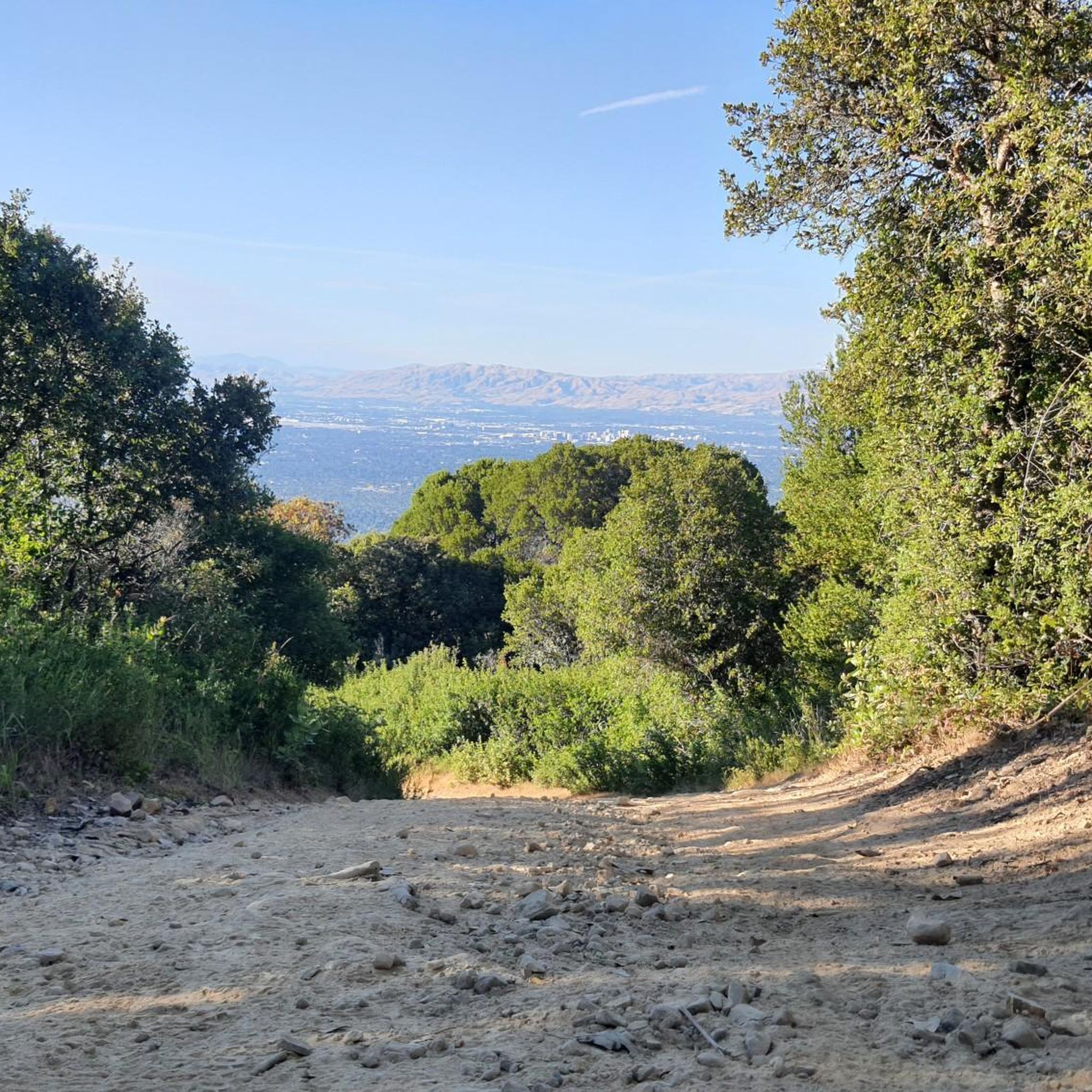
The Priest Rock Trail in Los Gatos offers runners a tough but rewarding challenge with steep climbs and stunning views of the Santa Clara Valley. Its mix of shaded sections and open ridges provides variety, making it ideal for hill training. Start early to beat the heat and enjoy quieter trails.
0
0

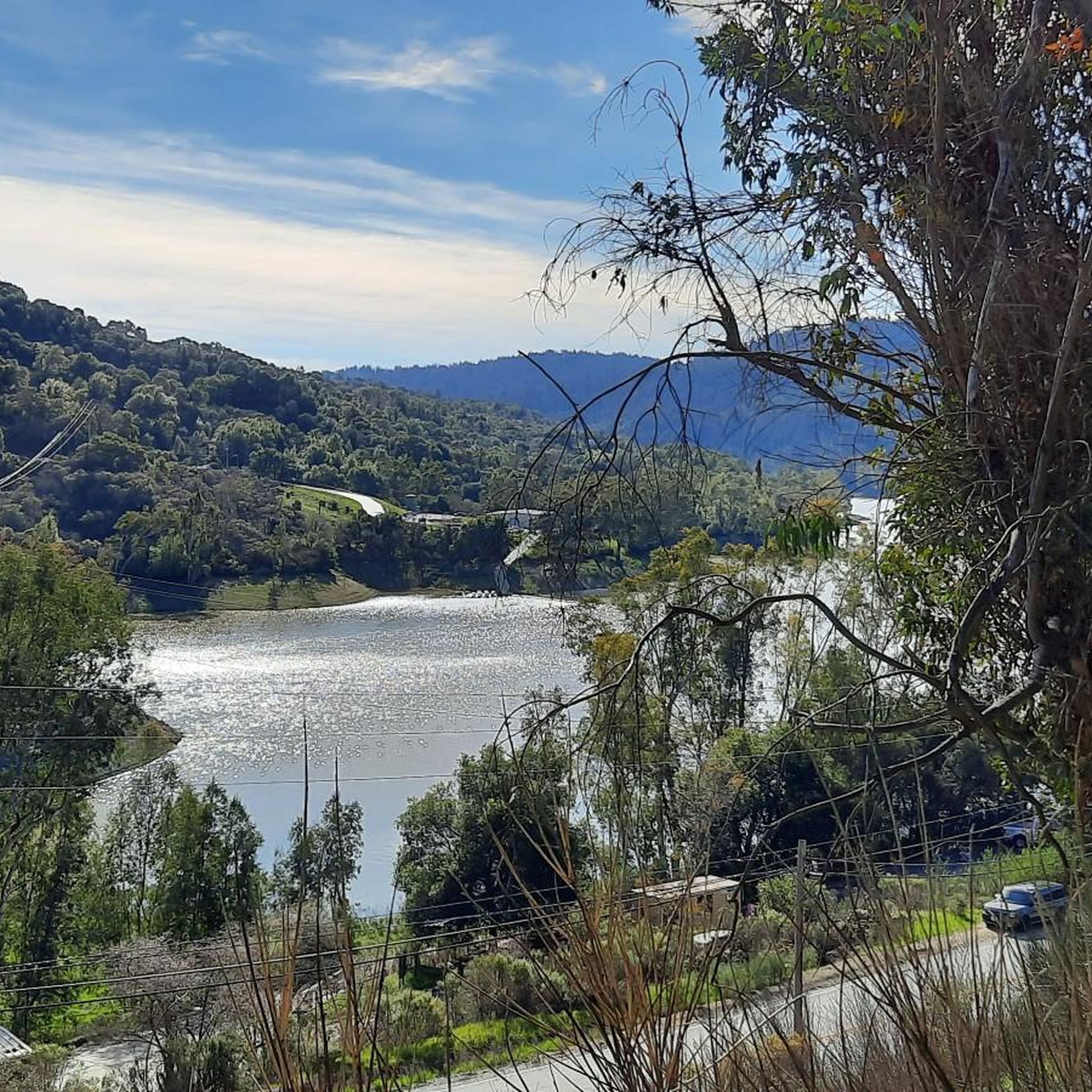
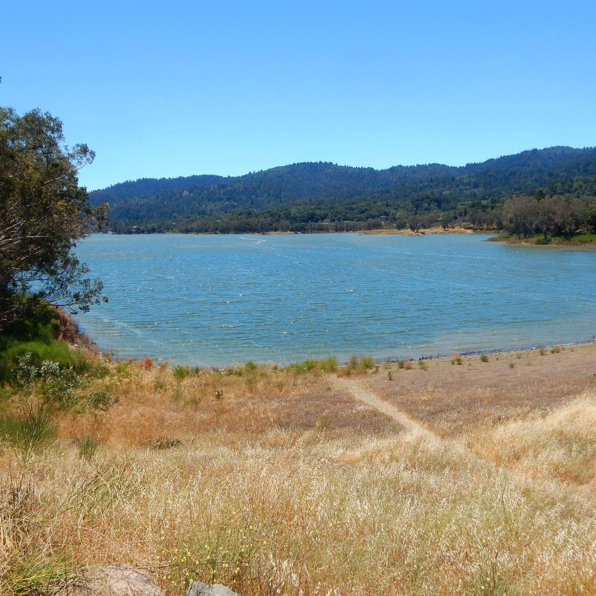
Ascending just a few hundred feet along Priestrock Trail toward Sierra Azul Open Space reveals expansive vistas overlooking the tranquil, turquoise-blue waters of Lexington Reservoir.
0
0

Soda Springs Road is a fun twisty road with plenty of shade, multiple overlooks, and a nice uphill workout! The road is an out-and-back sort of deal since the top is private property despite it looking like it connects to Mount Thayer.
0
0

An old growth grove of Redwood Trees, famous to Norther California. This old growth forest has a rich ecosystem and thick canopy, keeping the trails nice and shaded.
0
0

The summit of Saint Josephs Hill offers views of Los Gatos Creek valley into Silicon Valley and of the Lexington Reservoir. A couple benches and a fence mark the summit of the hill and serve as a good spot for a break while you take in the view.
0
0


Sierra Azul Open Space Preserve is a very large protected area straddling several ridges between Los Gatos and Santa Cruz, popular with mountain bikers and hikers.
2
0
Limekiln Trail crosses Priestrock trail after a couple of miles as a short return route option, or to continue deeper into the Preserve. Along the trail are excellent views into the still active Lexington Quarry.
2
1
Frequently Asked Questions
How many running routes are available in Lexington Reservoir County Park?
Lexington Reservoir County Park offers a wide selection of running routes, with over 50 different tours to explore. These range from easier loops to more challenging long-distance trails, catering to various fitness levels.
What is the general difficulty level of running trails in Lexington Reservoir County Park?
The running trails in Lexington Reservoir County Park offer a mix of difficulties. While there are a few easier routes, the majority are rated as moderate or difficult. You'll find options with gradual ascents and more challenging climbs, often providing expansive ridge views.
Are there any family-friendly running paths in the park?
While many routes feature varied terrain and climbs, some of the shorter, less strenuous paths around the reservoir might be suitable for families looking for a gentler run. It's always a good idea to check the specific route details for elevation and surface before heading out with children.
Can I bring my dog on the jogging routes in Lexington Reservoir County Park?
Many trails within Lexington Reservoir County Park are dog-friendly, but it's always best to check local park regulations and specific trail rules before you go. Typically, dogs are required to be on a leash.
Are there any loop trails for runners in Lexington Reservoir County Park?
Yes, there are several excellent loop trails for runners. A popular option is the Manzanita and Jones Trail Loop, which is a moderate 3.2-mile (5.2 km) route offering varied terrain and scenic views. You can find more details about it here: Manzanita and Jones Trail Loop.
What are some good running routes for beginners in Lexington Reservoir County Park?
For beginners, it's advisable to start with the easier-rated routes. While specific 'beginner' routes aren't highlighted, look for paths with less elevation gain and shorter distances. The park's intro mentions options for different ability levels, so exploring the easier loops would be a good starting point.
Are there options for long-distance runners in Lexington Reservoir County Park?
Absolutely! Long-distance runners will find challenging options like the Soda Springs Road, a 10.6-mile (17.0 km) trail through forested areas with reservoir views: Soda Springs Road. Another demanding route is the Mount El Sombroso loop from Lexington Reservoir County Park, which spans over 20 km: Mount El Sombroso loop from Lexington Reservoir County Park.
What can I see along the running routes in Lexington Reservoir County Park?
The park offers beautiful natural scenery and points of interest. You can expect views of the Lexington Reservoir itself, along with forested areas and rolling hills. Notable trails include the Los Gatos Creek Trail and the Priest Rock Trail, which offer diverse landscapes.
What do other runners enjoy most about jogging in Lexington Reservoir County Park?
The running routes in Lexington Reservoir County Park are highly rated by the komoot community, with an average score of 4.2 stars. Runners often praise the park's varied terrain, from reservoir-side paths to challenging hill climbs, and the opportunities to explore its diverse ecosystems and scenic viewpoints.
Are there any less crowded running trails in Lexington Reservoir County Park?
To find less crowded trails, consider visiting during off-peak hours, such as early mornings on weekdays. While popular routes like the Manzanita and Jones Trail Loop can see more activity, exploring some of the longer, more difficult trails like Bay Area Ridge Trail: Priest Rock to Kennedy Knob might offer a more solitary experience: Bay Area Ridge Trail: Priest Rock to Kennedy Knob.
What are the winter running conditions like in Lexington Reservoir County Park?
During winter, trails in Lexington Reservoir County Park can be affected by rain, potentially leading to muddy or slippery sections, especially on unpaved paths. It's advisable to check weather conditions before heading out and wear appropriate footwear with good grip.
Where can I find parking for the jogging trails in Lexington Reservoir County Park?
Lexington Reservoir County Park has designated parking areas for visitors accessing the trails. Specific parking locations can vary depending on which section of the park or which trailhead you plan to start from. It's recommended to check park maps or specific route descriptions for the most convenient parking options.
Most popular routes in Lexington Reservoir County Park
Most popular attractions in Lexington Reservoir County Park

Get inspired with the komoot mobile app


Explore more
Browse the best Running Trails & Routes in other regions.
