The best walks and hikes in Coyote Valley Open Space Preserve
4.6
(76)
889
hikers
47
hikes
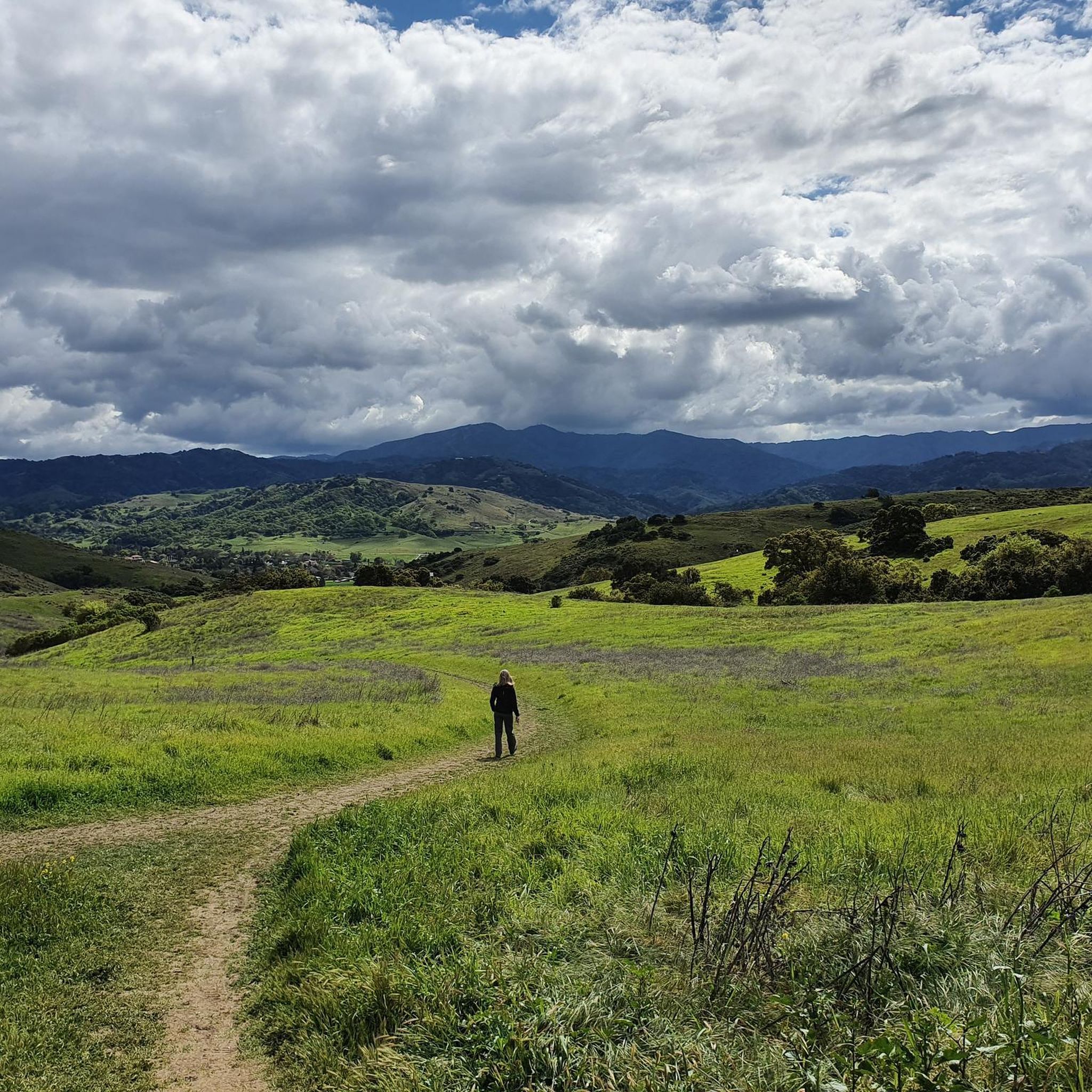
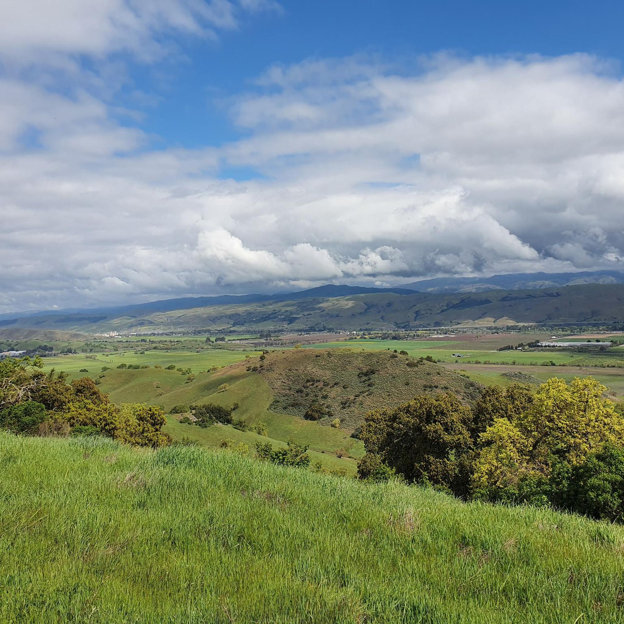
Hiking in Coyote Valley Open Space Preserve explores a 348-acre natural park characterized by rolling hills, open grasslands, and sections of oak woodland. The preserve is a critical wildlife corridor, providing a connection between the Santa Cruz Mountains and the Diablo Range. Trails navigate through a landscape featuring serpentine rock outcroppings and seasonal creeks. The area offers views of the rural Coyote Valley, the Santa Cruz Mountains, and the Diablo Range.
Best hiking trails in Coyote Valley Open Space Preserve
…Last updated: August 17, 2026
4.8
(4)
61
hikers
6.28km
01:50
170m
170m
The Arrowhead Loop Trail is a fantastic way to immerse yourself in the rolling, oak-studded foothills of the Coyote Valley, offering a peaceful escape with expansive vistas. As you hike…
4.5
(2)
19
hikers
9.89km
02:46
180m
200m
The Los Cerritos, Pena, Figueroa Loop offers a delightful escape into Calero County Park's varied landscapes, blending open grasslands with peaceful oak woodlands. You'll traverse rolling hills, enjoying inspiring viewpoints…

Sign up for free
8
hikers
17.1km
05:03
480m
510m
The Figueroa and Cottle Loop Trail offers a challenging 10.6-mile (17.1 km) hiking experience through Calero County Park, featuring diverse terrain and panoramic views. You'll traverse rolling grasslands and dense…
4.7
(3)
30
hikers
6.75km
01:58
180m
160m
The Los Cerritos Trail offers a delightful escape into the rolling hills of Calero County Park, providing a scenic and moderately engaging hike. As you follow the doubletrack path, you'll…
9
hikers
25.4km
07:11
540m
540m
Hike the difficult 15.8-mile Calero Reservoir and Bald Peaks Loop for panoramic views and diverse terrain in Calero County Park.
Get access to more routes and recommendations from other explorers.
Sign up for free
Already have an account?
Our route recommendations are based on thousands of hikes, rides, and runs completed by other people on komoot.
Start today with a free account
Your next adventure awaits.
Login or Signup
Tips from the Community

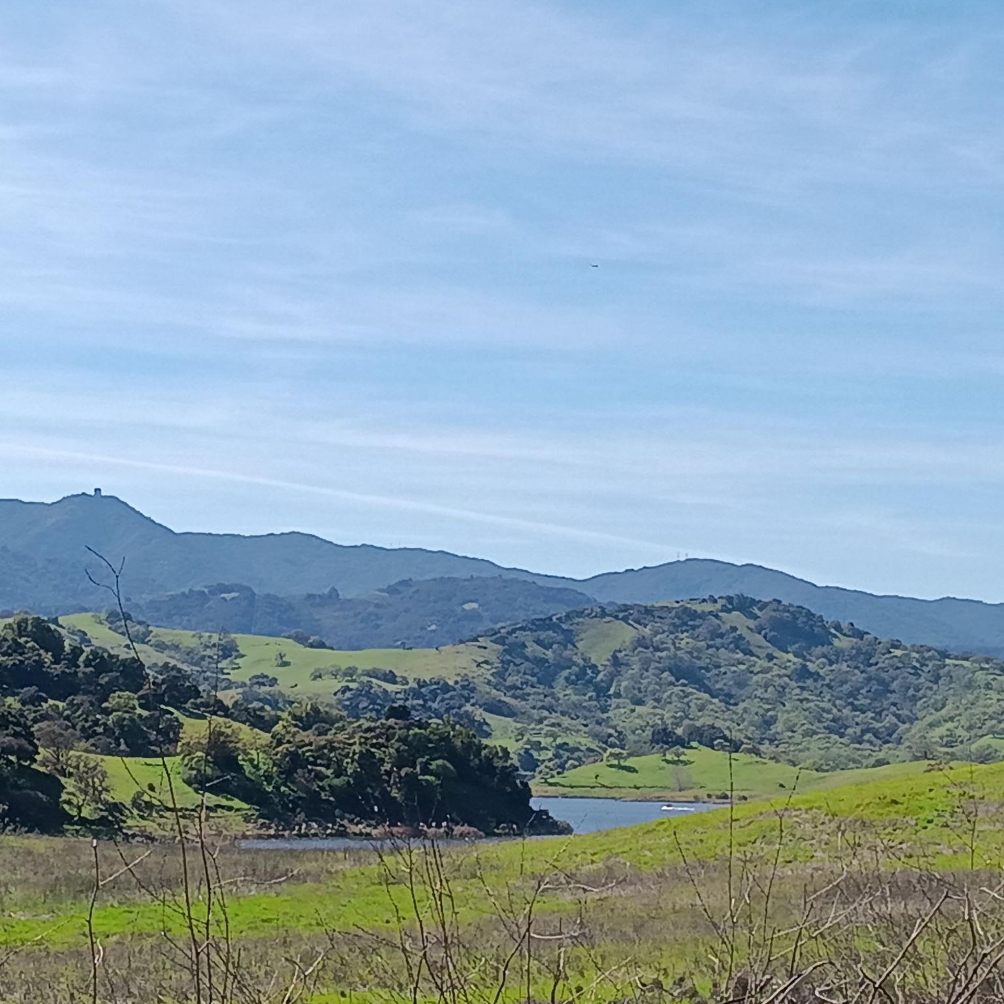
Calero County Park is a huge park covering over 4,400 acres and featuring a huge lake. Calero Reservoir is definitely the pinnacle of the park, but there are a number of trails and paths that offer different views and pass through different natural ecosystems. Being such a big park, there are a bunch of different trailheads and park entrances that you can utilize.
0
0
Los Cerritos Pond is just off the side of the Oak Cove Trail and is a great spot for a pit-stop during your ride. You can get right up next to the banks of the water, or you can hang out under the shade trees closer to the main trail.
0
0
Calero County Park is a huge park covering over 4,400 acres and featuring a huge lake. Calero Reservoir is definitely the pinnacle of the park, but there are a number of trails and paths that offer different views and pass through different natural ecosystems. Being such a big park, there are a bunch of different trailheads and park entrances that you can utilize.
1
0

True to its name, Los Cerritos ("little hills") Pond is ringed by hills. You'll find a great network of looping walking trails here, and from March through May the wildflowers here are spectacular. Plan to be without shade for long stretches of your run.
0
0
True to its name, Los Cerritos ("little hills") Pond is ringed by hills. You'll find a great network of looping walking trails here, and from March through May the wildflowers here are spectacular. Plan to be without shade for long stretches of your walk.
0
0

This short spur from Oak Cove Trail leads to the shores of Calero Reservoir, a relatively small but attractive reservoir among the foothills of Calero County Park.
0
0
Though lower than Bald Peaks summit overlook, this viewpoint provides a beautiful view to the east and southeast toward Morgan Hill from a little above 1,400 feet of elevation.
0
0
The small extra distance traveled down this spur from Arrowhead Loop Trail is well worth it for a beautiful view to the north, east, and southeast. Ideal for a snack break!
0
0
Frequently Asked Questions
Are dogs allowed in Coyote Valley Open Space Preserve?
No, dogs are not permitted in the Coyote Valley Open Space Preserve. This policy is in place to protect the sensitive wildlife and habitats within this critical corridor. If you're looking for a nearby trail to walk with your dog, the Los Cerritos Pond loop from Edenvale is a great alternative.
What are the parking options at the preserve?
There is a dedicated parking lot for the preserve located at 599 Palm Ave, Morgan Hill. It's a well-regarded lot, but it can fill up, especially on weekends. It's best to arrive early to secure a spot.
What is the best time of year to see wildflowers?
The best time for wildflower viewing in Coyote Valley is during the spring, typically from early March through April. The hills and grasslands come alive with color during this period, making it a particularly beautiful time for a hike.
Are there any easy, family-friendly hikes?
Yes, the preserve offers options for families. While the main loop has some climbs, you can hike an easier 1.7-mile round trip to a southern vista point. This section has a gentle 170-foot climb and offers some of the preserve's best panoramic views.
What kind of wildlife might I see?
Coyote Valley is a vital wildlife corridor, so you have a good chance of spotting various animals. Keep an eye out for coyotes, mule deer, and ground squirrels. The area is also excellent for bird watching, with species like red-tailed hawks, golden eagles, and turkey vultures frequently seen. In the fall, you might even spot tarantulas.
How many hiking trails are in the Coyote Valley area?
There are over 40 hiking routes to explore in and around the Coyote Valley Open Space Preserve. These range from easy strolls through grasslands to more challenging climbs on exposed ridges, offering something for every fitness level.
What do other hikers say about the trails?
The trails in this area are highly rated by the komoot community, with an average score of 4.5 stars. Hikers often praise the well-maintained paths, the beautiful rolling hills, and the spectacular panoramic views of the valley and the Diablo Range.
Are there any challenging, long-distance hikes?
Yes, for those seeking a more strenuous workout, the Calero Reservoir & Bald Peaks loop is a difficult 15.8-mile (25.4 km) hike. This demanding route features over 1,780 feet of elevation gain, taking you through varied terrain for a full day's adventure.
What are the trail conditions like?
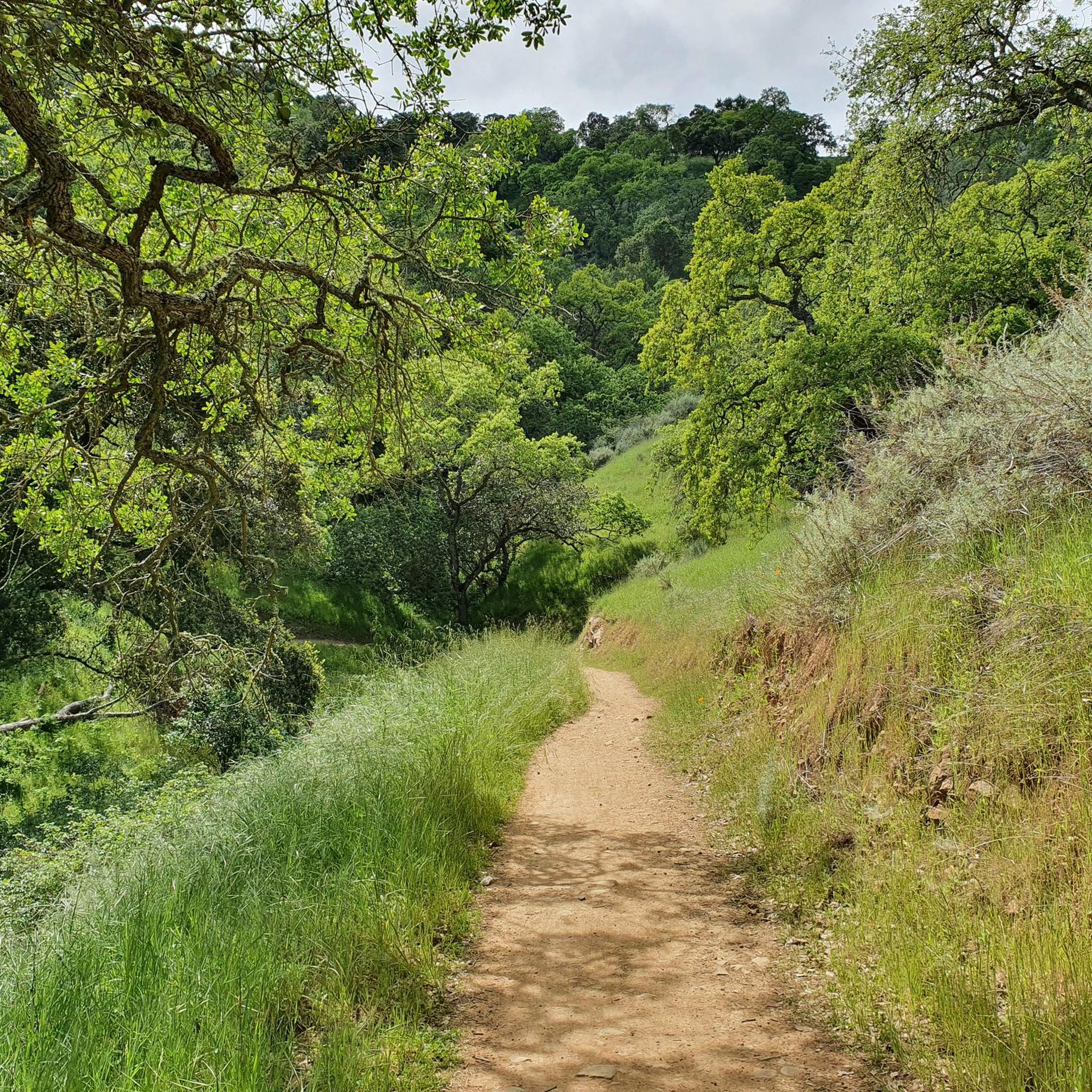
The trails are generally well-maintained and multi-use, shared by hikers, cyclists, and horseback riders. The main paths wind through open grasslands and oak woodlands. Some sections are exposed, so be prepared for sun, while others offer shade. After rains, some seasonal creeks may be active and trails can be muddy.
Are there any good loop hikes in the area?
The preserve is well-known for its loop trails. Besides the main Arrowhead Loop, the Bald Peaks loop — Rancho Canada del Oro Open Space Preserve is a popular moderate option. This 8.1-mile (13.1 km) trail involves a significant climb through oak forests to rewarding views from exposed ridges.
What kind of scenery can I expect?
The landscape is a classic California tapestry of rolling green hills, open grasslands, and shady oak woodlands. You'll also encounter unique serpentine rock outcroppings and seasonal creeks. The high points of the trails offer spectacular panoramic views across Coyote Valley towards the Diablo Mountain range.
Most popular routes in Coyote Valley Open Space Preserve

Get inspired with the komoot mobile app


Explore more
Browse the best Hikes in other regions.
