Máyyan 'Ooyákma – Coyote Ridge Open Space Preserve
Máyyan 'Ooyákma – Coyote Ridge Open Space Preserve
The best cycling routes in Máyyan 'Ooyákma – Coyote Ridge Open Space Preserve
4.4
(70)
846
riders
30
rides
Touring cycling in Máyyan 'Ooyákma – Coyote Ridge Open Space Preserve features routes through unique serpentine grasslands, rolling hills, and oak woodlands. The preserve's ridgeline offers nearly 1,400 feet of elevation gain, providing panoramic views of the Coyote Valley and Santa Clara Valley. Over 5 miles of multi-use trails are available, including a section of the regional Bay Area Ridge Trail suitable for bicycling. The varied terrain includes both low grasslands and ridgeline climbs.
Best touring cycling routes in Máyyan…
Last updated: October 12, 2026
4.6
(13)
82
riders
Moderate bike ride. Good fitness required. Mostly paved surfaces. Suitable for all skill levels.
32
riders
26.0km
01:32
80m
80m
Easy bike ride. Great for any fitness level. Mostly paved surfaces. Suitable for all skill levels.

5.0
(1)
38
riders
34.2km
02:03
80m
80m
Moderate bike ride. Good fitness required. Mostly paved surfaces. Suitable for all skill levels.
2.5
(8)
20
riders
Easy bike ride. Great for any fitness level. Mostly paved surfaces. Suitable for all skill levels.
3.7
(3)
9
riders
9.21km
00:32
30m
30m
Easy bike ride. Great for any fitness level. Mostly paved surfaces. Suitable for all skill levels.
Get access to more routes and recommendations from other explorers.
Already have an account?
Our route recommendations are based on thousands of hikes, rides, and runs completed by other people on komoot.
Start today with a free account
Your next adventure awaits.
Popular around Máyyan 'Ooyákma – Coyote Ridge Open Space Preserve
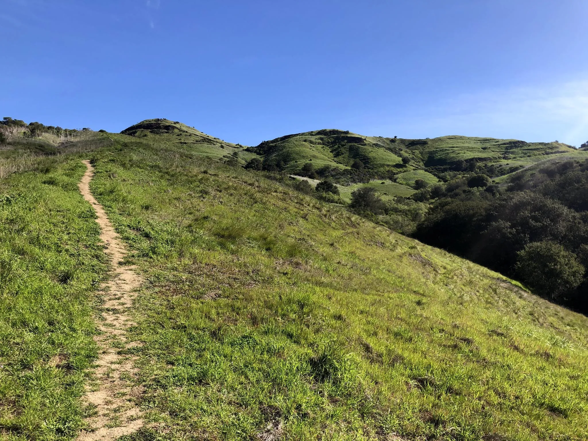
Bay Area Ridge Trail — Hiking the backbone of The Bay
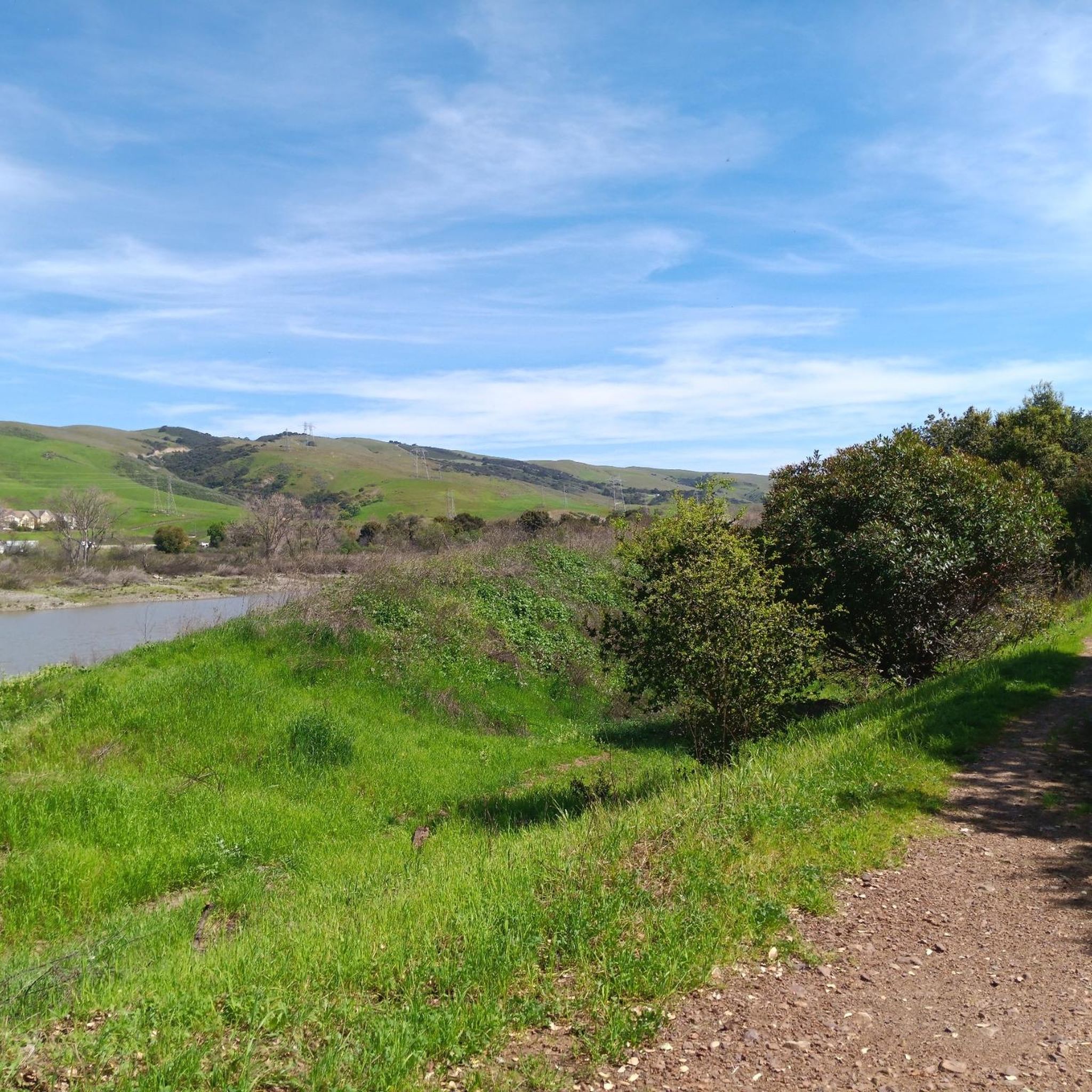
Hiking in Máyyan 'Ooyákma – Coyote Ridge Open Space Preserve
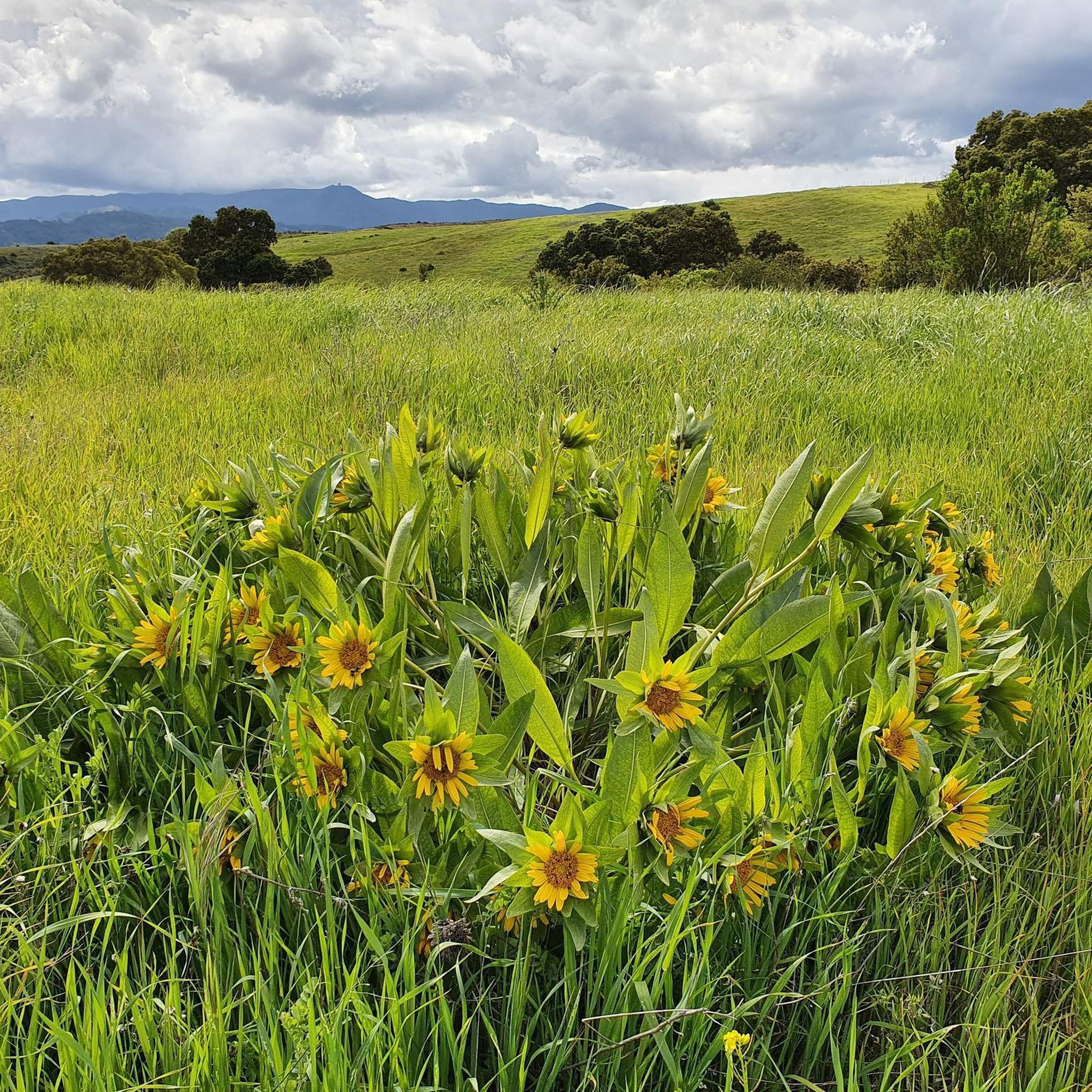
Running Trails in Máyyan 'Ooyákma – Coyote Ridge Open Space Preserve
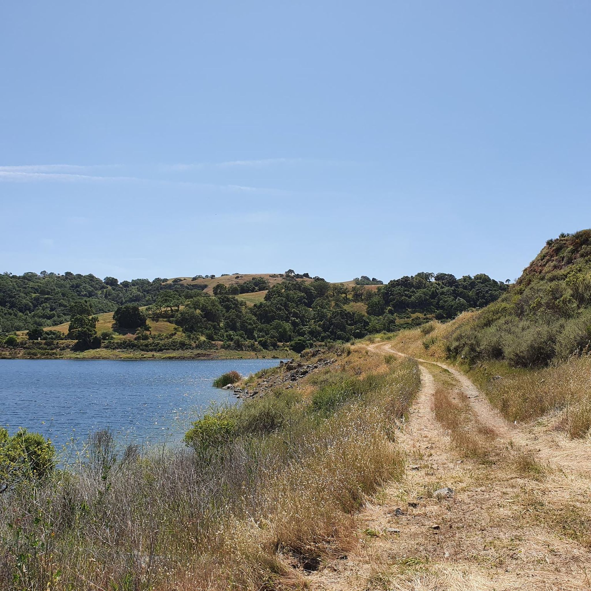
MTB Trails in Máyyan 'Ooyákma – Coyote Ridge Open Space Preserve
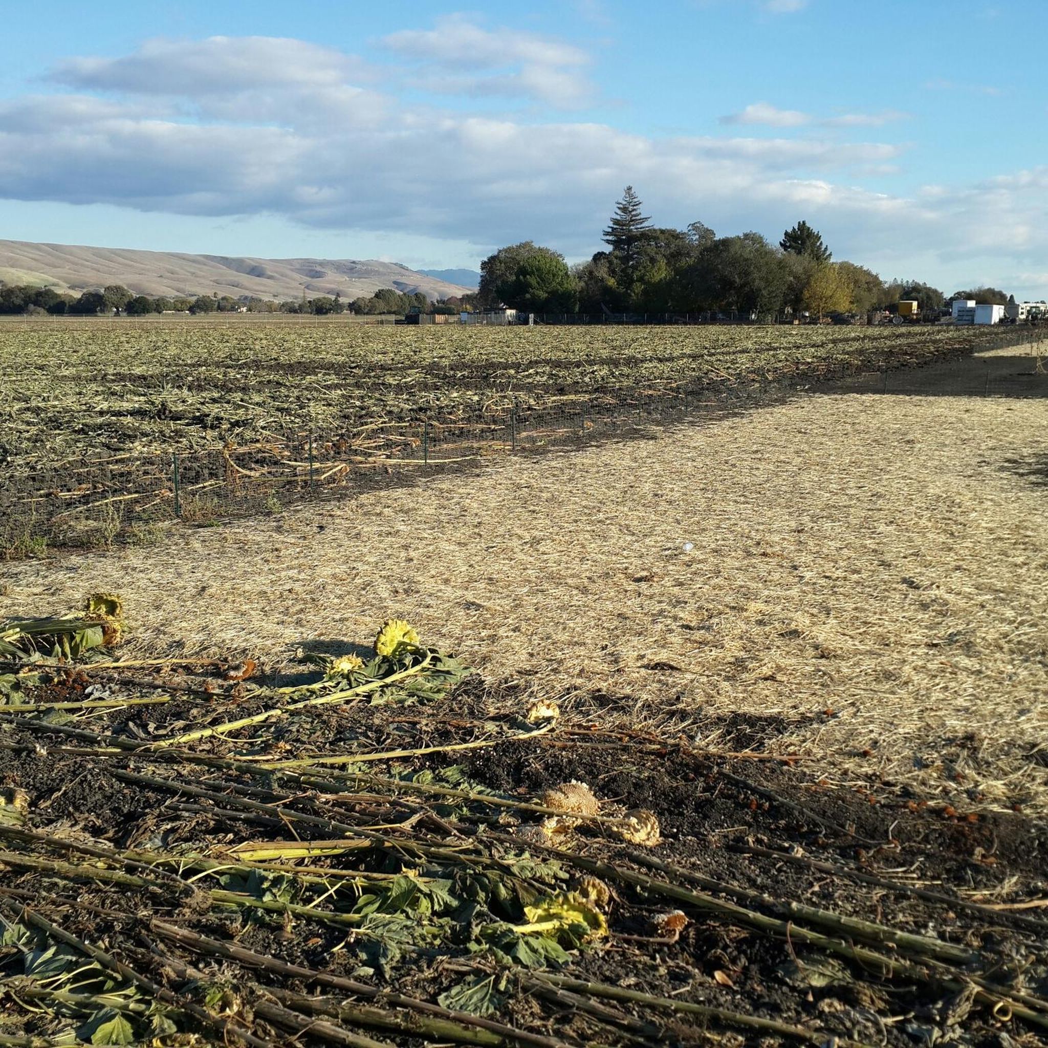
Road Cycling Routes in Máyyan 'Ooyákma – Coyote Ridge Open Space Preserve
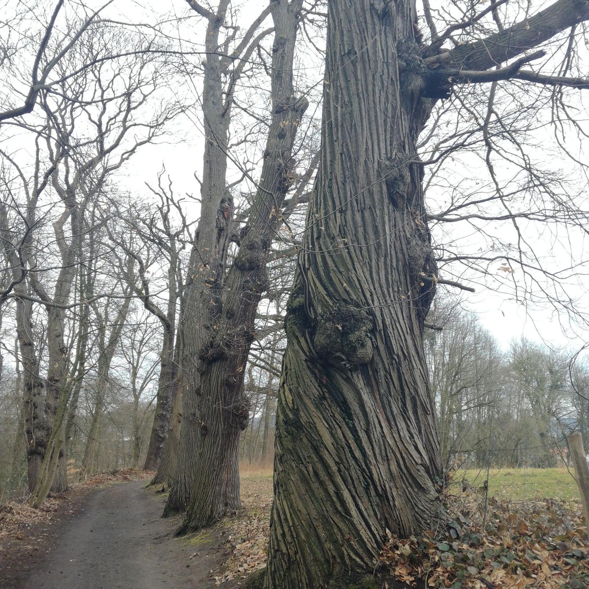
Gravel biking in Máyyan 'Ooyákma – Coyote Ridge Open Space Preserve
Other adventures in Máyyan 'Ooyákma – Coyote Ridge Open Space Preserve

Tips from the Community

Hellyer Park Velodrome is Northern California’s only dedicated bicycle racing facility. Located in a car-free park along Coyote Creek, it’s perfect for cyclists of all levels, from beginners to pros, to train and race.
1
0

at nearly 19 miles the Coyote Creek Trail is one of the longest trail systems in San Jose. This is a popular multi-use trail and some sections can get crowded so be courteous to your fellow trail users and give when whare possible.
1
0

The Coyote Creek Trail passes through the heart of Coyote Ranch, which is lined with open pastures and hillsides. There are also a couple small reservoirs on the property that you get to walk by during your hike.
0
0

The pond is nestled within the larger Coyote Creek Parkway, providing access to miles of trails for running, biking, or hiking. You can explore further along Coyote Creek and discover more scenic spots.
0
0

The Coyote Creek Trail, also called the Bay Area Ridge Trail, is a stunningly paved multi-use path that slowly transitions to gravel. The trail winds in between a number of ponds and has a little more shade at the turnaround loop.
0
0
Odette Morrow Trail is a nice, flat loop through a well shaded park. On the north side you have a park and picnic tables and grass, with the remainder of the loop being through grassland with freckled trees. The path is paved, so makes for a great spot to do training laps or intervals.
0
0
The Coyote Creek Trail, also called the Bay Area Ridge Trail, is a stunningly paved multi-use path that slowly transitions to gravel. The trail winds in between a number of ponds and has a little more shade at the turnaround loop.
0
0

Coyote Pond is a much-loved destination for walkers seeking a refreshing waterside stroll. In the cooler months the pond is filled with water, however it does have the tendency to dry up during the summer months. Whatever the weather, it's still a beautiful location worthy of an explore.
1
0
Frequently Asked Questions
How many touring cycling routes are available in Máyyan 'Ooyákma – Coyote Ridge Open Space Preserve?
There are over 35 touring cycling routes available in Máyyan 'Ooyákma – Coyote Ridge Open Space Preserve, catering to various skill levels. You'll find a good mix of easy, moderate, and challenging options to explore the unique landscape.
What unique natural features can I expect to see while cycling in the preserve?
While cycling, you'll traverse rare and sensitive serpentine grasslands, the largest protected continuous area of its kind in the southern Bay Area. The routes also feature rolling hills, oak woodlands, and serpentine rock outcroppings. In spring, typically April, the preserve is known for its brilliant wildflower displays.
Are there any specific trails suitable for beginners or those looking for an easy ride?
Yes, there are several easy routes. For instance, the Coyote Ranch – Ogier Ponds Bike Path loop from Coyote Creek Parkway is an easy 14.7-mile trail that offers views of the preserve's ecological features. Another easy option is the Coyote Pond – Coyote Ranch loop from Martin Murphy Middle School, which is 19.6 miles and leads through oak woodlands and open grasslands.
What kind of wildlife might I encounter on the trails?
Máyyan 'Ooyákma is a sanctuary for various rare and endangered species. You might spot a herd of tule elk. The preserve is also critical habitat for the threatened Bay checkerspot butterfly, California red-legged frogs, tiger salamanders, Western burrowing owls, and golden eagles, among other birds of prey.
Are there any restrictions or permits required for cycling in the preserve?
Yes, access to the "Habitat Protection Area" (which includes the Serpentine Spring Trail, Tule Elk Trail, and Bay Checkerspot Trail) requires a free "Butterfly Pass" year-round. Crucially, during weekends from March through May, bicycles are not permitted on these specific trails within the Habitat Protection Area. However, the Máyyan Wáayi (Coyote Valley) Overlook Trail does not require a Butterfly Pass and is accessible outside this restricted area.
Can I bring my dog on the touring cycling routes?
No, dogs are prohibited within Máyyan 'Ooyákma – Coyote Ridge Open Space Preserve to protect its sensitive habitat and wildlife.
What are the best times of year to go touring cycling in the preserve?
The preserve offers rewarding cycling experiences throughout the year. Spring, particularly April, is ideal for witnessing the vibrant wildflower displays. However, be aware of the weekend bicycle restrictions in the Habitat Protection Area from March through May. The ridgeline views are spectacular year-round, but conditions can vary seasonally.
Are there any challenging routes for experienced touring cyclists?
Yes, the preserve offers routes with significant elevation changes, particularly along the ridgeline, which can provide nearly 1,400 feet of elevation gain. These routes offer both a physical challenge and rewarding panoramic views. There are 8 routes rated as difficult in the preserve.
What amenities are available for cyclists within the preserve?
The preserve offers accessible trails, viewing platforms, shaded picnic areas, and interpretive signage. However, it's important to note that there are no trash cans or drinking water facilities within the preserve, so plan accordingly and pack out everything you pack in.
Are there any routes that offer panoramic views?
Absolutely. The preserve's ridgeline offers nearly 1,400 feet of elevation gain, providing panoramic vistas of the Coyote Valley and the wider Santa Clara Valley. Many routes, especially those that climb to higher elevations, will reward you with expansive views.
Where can I park my car when visiting for a bike ride?
Parking is available, but it is limited. Carpooling is recommended due to the restricted parking capacity at the preserve.
What do other cyclists say about their experience in Máyyan 'Ooyákma – Coyote Ridge Open Space Preserve?
The touring cycling routes in Máyyan 'Ooyákma – Coyote Ridge Open Space Preserve are highly rated by the komoot community, with an average score of 4.3 stars from over 60 reviews. Cyclists often praise the unique ecological features, the expansive valley vistas, and the varied terrain that offers options for different fitness levels.
Are there any circular touring cycling routes available?
Yes, many of the touring cycling routes in the preserve are designed as loops. For example, the Coyote Ranch – Ogier Ponds Bike Path loop from Martin Murphy Middle School is a moderate 23.4-mile path that navigates through rolling hills and offers expansive valley vistas.
Most popular routes in Máyyan 'Ooyákma – Coyote Ridge Open Space Preserve

Get inspired with the komoot mobile app


Explore more
Browse the best Cycling routes in other regions.
