The best cycling routes in Monte Bello Open Space Preserve
4.6
(40)
1,186
riders
77
rides
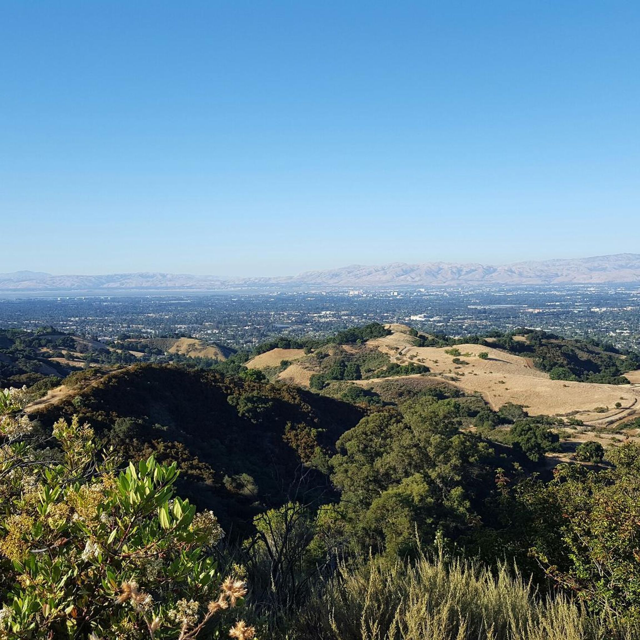
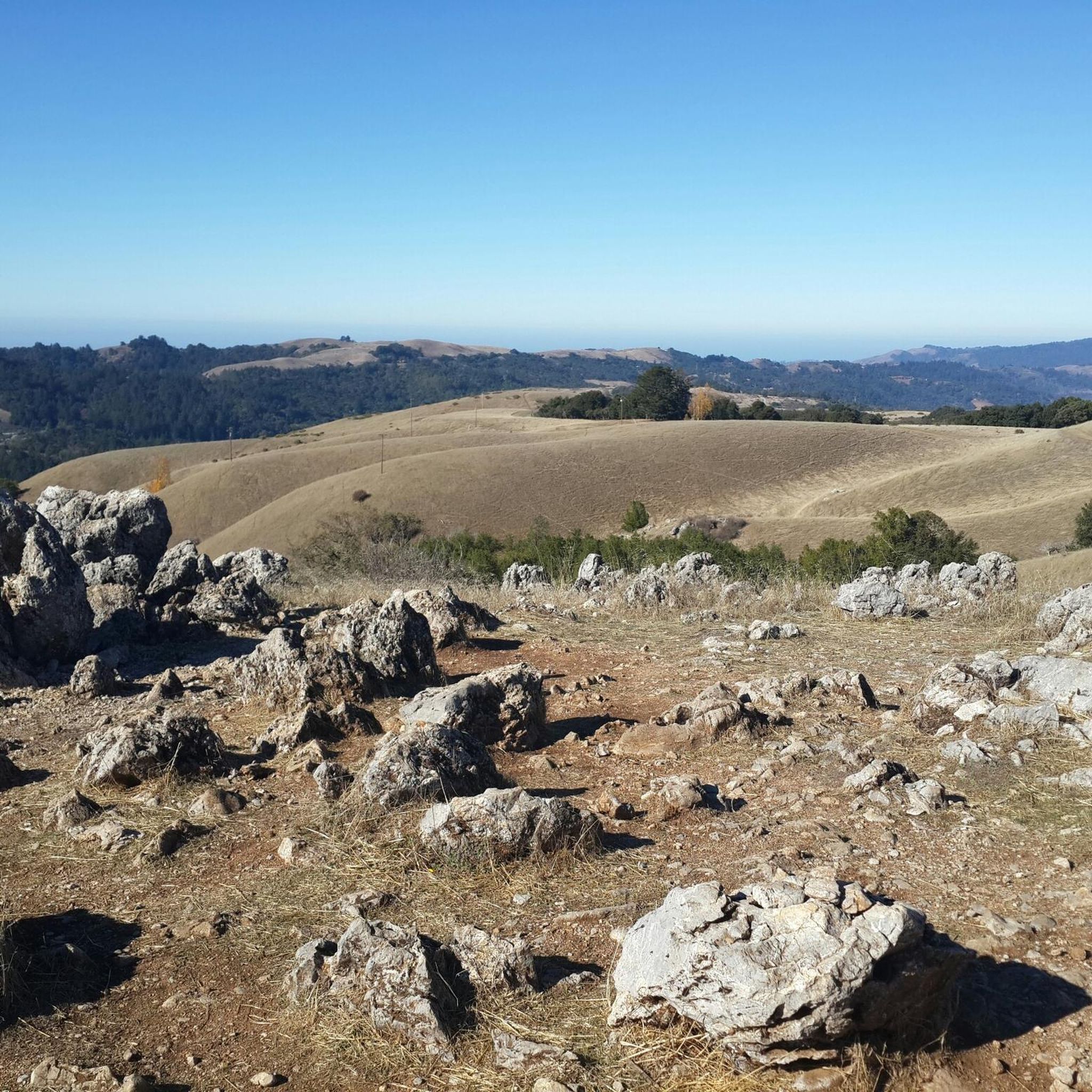
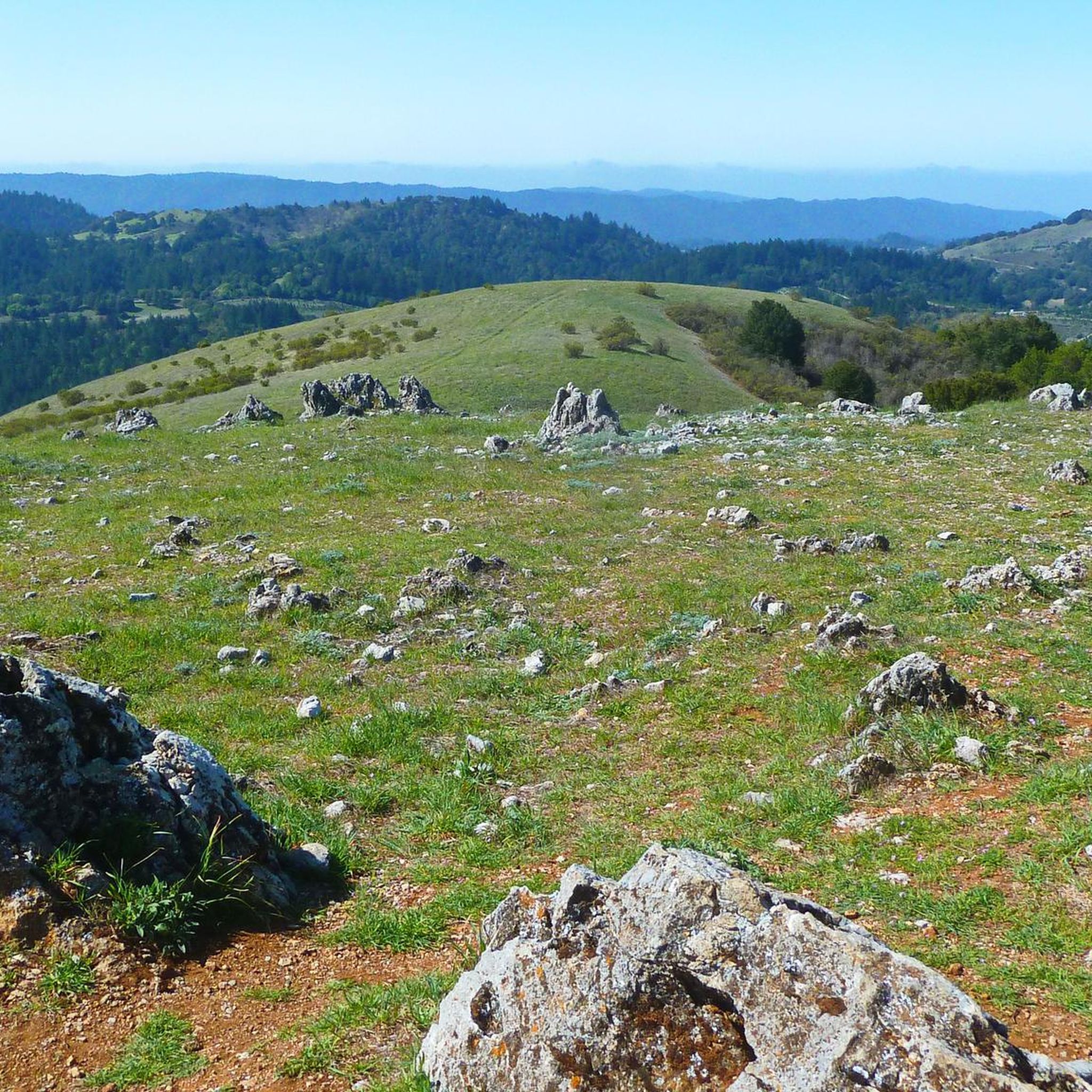
Touring cycling routes in Monte Bello Open Space Preserve are characterized by rolling hills, open grasslands, and forested sections, offering varied terrain for cyclists. The preserve features numerous viewpoints providing panoramic vistas of the surrounding landscape. Elevations range from gentle slopes to more challenging climbs, catering to different skill levels.
Best touring cycling routes in Monte Bello Open Space Preserve
- The most popular touring cycling route is Portola Road – Old La Honda Road loop from Skyline Ridge Open Space Preserve, a 33.4 miles (53.7 km) trail that takes 3 hours 59 minutes to complete, featuring significant elevation changes.
- Another top favourite among local touring cyclists is Borel Hill – Mindego Hill Windmill loop from Skyline Ridge Open Space Preserve, a moderate 6.9 miles (11.2 km) path traversing open hillsides and leading to a prominent windmill landmark.
- Local touring cyclists also love the Skyline Boulevard Viewpoint – Borel Hill loop from Skyline Ridge Open Space Preserve, a 7.2 miles (11.6 km) trail leading through scenic viewpoints and rolling terrain, often completed in about 1 hour 18 minutes.
- Touring cycling in Monte Bello Open Space Preserve is defined by rolling hills, panoramic viewpoints, and open grasslands. The network offers options for different ability levels, from moderate paths to difficult climbs.
- The routes in Monte Bello Open Space Preserve are highly rated by the komoot community with an average score of 4.4 stars from over 36 reviews. More than 1300 touring cyclists have used komoot to explore Monte Bello Open Space Preserve's varied terrain.
Last updated: July 2, 2026
5.0
(2)
92
riders
63.6km
04:38
1,440m
1,440m
The Portola Road – Old La Honda Road loop offers a classic Bay Area touring bicycle challenge, winding through diverse landscapes from open oak woodlands to serene redwood groves. This difficult 39.5 miles (63.6 km) route, with its substantial 4724 feet (1440 metres) of elevation gain, is a true test of endurance, typically taking around 4 hours and 37 minutes. The consistent gradient of the Old La Honda Road climb, often called the "premiere climb of the Peninsula," makes it a favorite training ground for road cyclists seeking a significant workout and scenic stops Monte Bello Open Space bike route.
Starting from Monte Bello Open Space Preserve, this loop is best enjoyed by cyclists with very good fitness levels due to its demanding nature. While specific parking information for Monte Bello Open Space Preserve parking cycling isn't always detailed, it's wise to plan for an early start, especially on weekends, to secure a spot and enjoy the cooler morning temperatures. Always ensure you carry ample water and nutrition for this lengthy and strenuous ride.
This Portola Road Old La Honda bike ride distance and elevation gain makes it a notable and rewarding experience for touring cyclists. The route's blend of demanding climbs and picturesque natural beauty, transitioning from open grasslands to dense forests, sets it apart. It's widely recognized as a benchmark climb in the region, offering a consistent and challenging ascent that draws cyclists from all over the Bay Area.
28
riders
The Turtle Rock Viewpoint – Saratoga Gap loop offers a challenging touring bicycle experience through the scenic Santa Cruz Mountains. You'll navigate diverse terrain, from moist evergreen forests and dense oak-madrone woodlands to open grasslands, all while tackling significant elevation changes. The route culminates in panoramic views from Turtle Rock Viewpoint, making the difficult 10.6-mile (17.0 km) journey with 1177 feet (359 metres) of gain well worth the effort for experienced cyclists.
To plan your visit, head to the Saratoga Gap Open Space Preserve, located at the junction of Highway 35 and Highway 9. The preserve is open from a half-hour before sunrise until a half-hour after sunset, but be aware that facilities like restrooms or drinking water are typically not available. This difficult route is best tackled on a gravel bike or hardtail mountain bike, and remember that e-bikes are generally not permitted.
This popular cycling route is part of a larger network, with the Saratoga Gap Trail itself being a segment of the Bay Area Ridge Trail. It connects to other significant parks and preserves in the region, including Sanborn-Skyline County Park and Castle Rock State Park. The varied landscape, from moss-covered trees to sculpted sandstone, provides a rich visual experience throughout your roughly 1-hour and 39-minute ride.

Sign up for free
4
riders
17.9km
01:15
320m
320m
The Dwight Crowder Path – Rossotti's Alpine Inn loop from Los Trancos Woods offers a delightful touring cycling experience through the Santa Cruz Mountains. You'll pedal through shaded forests and over rolling hills, enjoying the varied landscape. The Dwight Crowder Path itself is mostly paved and provides a pleasant, tree-lined journey, leading you towards the historic Rossotti's Alpine Inn, a perfect spot to take a break.
This moderate 11.1-mile (17.9 km) loop involves 1049 feet (320 metres) of elevation gain and typically takes about 1 hour and 14 minutes. The route is primarily on paved surfaces, making it accessible for a broad range of cyclists. While specific parking details for the Los Trancos Woods start aren't detailed, the area is generally welcoming to cyclists.
Named after geologist Dwight Crowder, who championed open space in Portola Valley, the path is more than just a route; it's a piece of local history. The historic Rossotti's Alpine Inn, founded in 1852, is one of California's oldest taverns and provides a charming, shaded outdoor area for refreshments, adding a unique cultural highlight to your ride.
19
riders
Hard bike ride. Very good fitness required. Mostly paved surfaces. Suitable for all skill levels.
5
riders
22.6km
01:43
380m
380m
Moderate bike ride. Good fitness required. Mostly paved surfaces. Suitable for all skill levels.
Get access to more routes and recommendations from other explorers.
Sign up for free
Already have an account?
Our route recommendations are based on thousands of hikes, rides, and runs completed by other people on komoot.
Start today with a free account
Your next adventure awaits.
Login or Signup
Popular around Monte Bello Open Space Preserve

Other adventures in Monte Bello Open Space Preserve

Tips from the Community


Enid Pearson-Arastradero Preserve offers rolling grasslands mixed with oak and evergreen trees. The trail system starts on pavement and transitions to packed dirt and gravel—great for bikes with wider tires or a solid gravel setup. Keep an eye out for deer, coyotes, and even bobcats, and take a moment to pause at one of the benches or by Arastradero Lake to enjoy the open views.
0
0

The Northern part of Alpine Road is a paved and curvy descent through wooded areas and runs parallel to Coal Mine Ridge Preserve, eventually connecting with the trailhead there.
0
0

This mostly paved bike trail alongside Alpine Road is great for bike commuting — just don't run over any slower trail users! The trail runs all the way from Portola Valley to Stanford, offering some nice shade along the way. The brief moments of unpaved trail are near the Portola Valley end.
0
0

Turtle Rock is the highest and most prominent mountain in the area. From this viewpoint, you can enjoy a panoramic view of the surrounding mountains, especially stunning at sunset. Be cautious, as the trail is popular and often busy with hikers.
1
0
Just right off the picnic bench area lies a viewpoint of the Pearson-Arastradero Preserve. An open meadow offers views of the preserve and surrounding mountains. It's a nice shaded area for a break!
0
0

This fantastic tavern, founded in 1852, is the second oldest in the state. It features a large, beer garden-style outdoor area with plenty of shade. An extensive beer and food menu makes it a perfect stop to enjoy a brew and some great food after a ride.
0
0
Russian Ridge is an incredible 3,137-acre preserve that boasts a rich diversity of plants and wildlife, steep forested canyons, and grasslands, with abundant wildflowers in the spring. The open ridge tops provide breathtaking panoramic views of the Santa Cruz Mountains, the Bay Area, and the Pacific Ocean, making it one of the most scenic preserves in the area to enjoy a picturesque ride.
0
0
Frequently Asked Questions
What is the overall difficulty level of touring cycling routes in Monte Bello Open Space Preserve?
Monte Bello Open Space Preserve offers a range of touring cycling routes suitable for various skill levels. You'll find options from moderate paths to more challenging climbs. Out of approximately 80 routes, 7 are considered easy, 50 are moderate, and 23 are difficult, ensuring there's something for everyone.
Are there any family-friendly touring cycling routes in Monte Bello Open Space Preserve?
While many routes feature rolling hills and elevation changes, some of the moderate trails can be suitable for families with older children or those comfortable with some climbing. For a moderate option, consider the Borel Hill – Mindego Hill Windmill loop from Skyline Ridge Open Space Preserve, which is 6.9 miles long and traverses open hillsides.
What are the typical lengths and durations for touring cycling routes in the preserve?
Route lengths vary significantly. You can find shorter loops like the Skyline Boulevard Viewpoint – Borel Hill loop from Skyline Ridge Open Space Preserve, which is 7.2 miles (11.6 km) and takes about 1 hour 18 minutes. Longer, more challenging rides, such as the Portola Road – Old La Honda Road loop from Skyline Ridge Open Space Preserve, can extend to 33.4 miles (53.7 km) and take nearly 4 hours to complete.
Are there any circular touring cycling routes available in Monte Bello Open Space Preserve?
Yes, many of the touring cycling routes in Monte Bello Open Space Preserve are designed as loops, allowing you to start and end at the same point. Examples include the popular Borel Hill – Mindego Hill Windmill loop and the Skyline Boulevard Viewpoint – Borel Hill loop, both offering scenic circular journeys.
What kind of views and landmarks can I expect to see along the touring cycling routes?
The preserve is known for its panoramic vistas, open grasslands, and forested sections. Many routes feature viewpoints offering expansive views of the surrounding landscape. Notable landmarks and natural features you might encounter include Black Mountain and various trails like White Oak Trail and Bella Vista Trail.
What are the trail conditions like for touring cyclists in Monte Bello Open Space Preserve?
The routes in Monte Bello Open Space Preserve typically feature well-maintained fire roads and paved sections, suitable for touring bicycles. However, conditions can vary with weather, so it's always a good idea to check local park advisories, especially after heavy rains, which can affect unpaved sections.
When is the best time of year to go touring cycling in Monte Bello Open Space Preserve?
The preserve is generally accessible year-round. Spring offers lush greenery and wildflowers, while fall provides cooler temperatures and clear skies. Summer can be warm, so early morning rides are recommended. Winter rides are pleasant on clear days, but be prepared for potential rain and cooler temperatures.
What should I wear and bring for a touring cycling trip in Monte Bello Open Space Preserve?
Given the varied terrain and potential for elevation changes, layered clothing is advisable. Bring plenty of water, snacks, sun protection (sunscreen, hat, sunglasses), and basic bike repair tools. A helmet is essential. Depending on the season, a light jacket or rain gear might also be useful.
Are there any cafes or places to eat near the touring cycling routes?
Monte Bello Open Space Preserve is primarily a natural area, so amenities like cafes are not typically found directly within the preserve. However, nearby towns and communities, such as those accessible from routes like the Dwight Crowder Path – Rossotti's Alpine Inn loop from Los Trancos Woods, offer dining options a short ride away.
What do other touring cyclists enjoy most about cycling in Monte Bello Open Space Preserve?
The komoot community highly rates the touring cycling experience in Monte Bello Open Space Preserve, with an average score of 4.4 stars from over 36 reviews. Cyclists often praise the diverse terrain, from open grasslands to forested sections, the challenging climbs, and the rewarding panoramic viewpoints.
What kind of wildlife might I encounter while cycling in Monte Bello Open Space Preserve?
Monte Bello Open Space Preserve is home to a variety of wildlife. You might spot deer, coyotes, bobcats, and numerous bird species, including various raptors. Always maintain a respectful distance and avoid disturbing any animals you encounter.
Where can I find parking for touring cycling routes in Monte Bello Open Space Preserve?
Parking is available at various trailheads and access points around the preserve. Popular starting points often have designated parking lots. For example, routes originating from Skyline Ridge Open Space Preserve or Saratoga Gap Open Space Preserve typically have parking facilities nearby.
Most popular routes in Monte Bello Open Space Preserve
Most popular attractions in Monte Bello Open Space Preserve

Get inspired with the komoot mobile app


Explore more
Browse the best Cycling routes in other regions.
