Thornewood Open Space Preserve (Closed Area)
Thornewood Open Space Preserve (Closed Area)
The best road cycling routes in Thornewood Open Space Preserve (Closed Area)
4.7
(31)
1,597
riders
46
rides
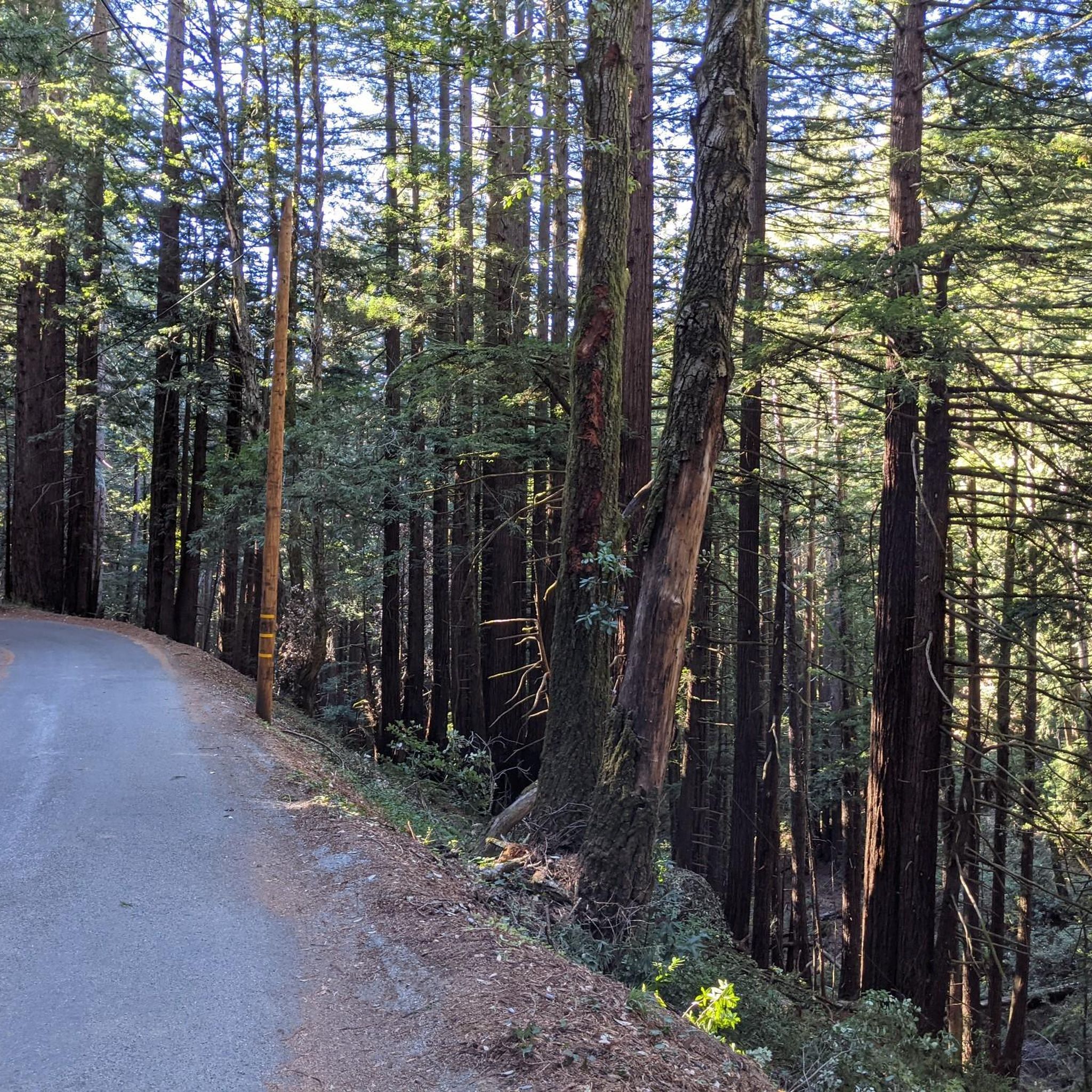
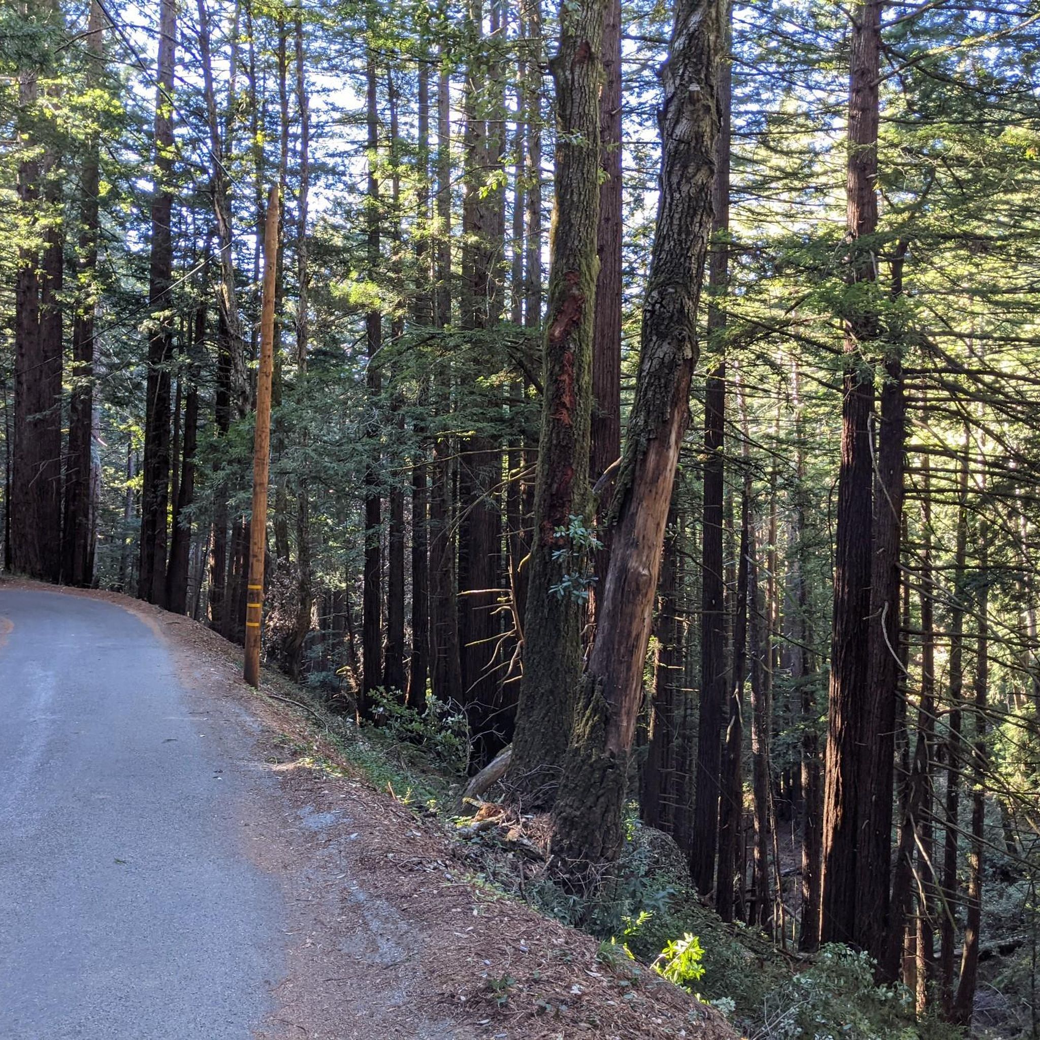
Road cycling in Thornewood Open Space Preserve (Closed Area) primarily utilizes public roads adjacent to the preserve, as cycling is not permitted within its boundaries. The region is characterized by forested hills within the Santa Cruz Mountains, featuring diverse woodlands of redwood, Douglas fir, oak, and madrone. These public roads offer challenging rides with significant elevation gains and well-paved surfaces. From certain vantage points, routes may provide glimpses of the southern San Francisco Bay and the Diablo Range.
Best road…
Last updated: August 19, 2026
16
riders
15.1km
01:01
420m
420m
Moderate road ride. Good fitness required. Mostly well-paved surfaces and easy to ride.
14
riders
14.5km
00:44
200m
200m
Easy road ride. Great for any fitness level. Mostly well-paved surfaces and easy to ride.

Sign up for free
5
riders
8.64km
00:24
100m
100m
Easy road ride. Great for any fitness level. Mostly well-paved surfaces and easy to ride.
88
riders
22.3km
01:17
490m
490m
Moderate road ride. Good fitness required. Mostly well-paved surfaces and easy to ride.
25
riders
19.6km
01:14
500m
500m
Moderate road ride. Good fitness required. Mostly well-paved surfaces and easy to ride.
Get access to more routes and recommendations from other explorers.
Sign up for free
Already have an account?
Our route recommendations are based on thousands of hikes, rides, and runs completed by other people on komoot.
Start today with a free account
Your next adventure awaits.
Login or Signup
Popular around Thornewood Open Space Preserve (Closed Area)
Tips from the Community

Alise’s Restaurant is a popular spot for both cyclists and motorcyclists. The food is good, the staff is known for being friendly, and the place has a laid-back, welcoming vibe—perfect for a post-ride meal or coffee break.
1
0

The Northern part of Alpine Road is a paved and curvy descent through wooded areas and runs parallel to Coal Mine Ridge Preserve, eventually connecting with the trailhead there.
0
0

Didn’t OLR used to turn into Dirt before reaching Skyline? Is it all pavement now?? Scott
0
0


Great place for a break in a beautiful, peaceful spot among the redwoods. The restaurant is popular with locals, motorcyclists, hikers, and cyclists, and is the perfect place for a cold drink after finishing the climb up.
1
0

Old La Honda Rd downhill video: https://youtu.be/icnBpBZQ8gE?si=xYovaH-Nr8llwLEM
0
0

3 miles of great winding mountain road. It ascends from the Palo Alto side up to the Skyline road. Quite narrow in places and fairly steep, but only light car use means this is a fun road climb.
2
0

The Village Hub Coffee Bar & Garden is here; and it is tailored for a cyclist's break with a nice bike rack, open outdoor tables and chairs and a mean coffee of many varieties available for buzzing up.
1
0
Frequently Asked Questions
Can I ride my road bike inside Thornewood Open Space Preserve?
No, bicycles are explicitly not allowed within Thornewood Open Space Preserve itself. The road cycling routes in this guide utilize public roads adjacent to the preserve, such as Old La Honda Road, which are popular among cyclists.
How many road cycling routes are available in the Thornewood Open Space Preserve area?
There are over 50 road cycling routes available in the area surrounding Thornewood Open Space Preserve. These routes offer a variety of experiences, from easy loops to more challenging ascents on public roads.
What is the difficulty level of road cycling routes near Thornewood Open Space Preserve?
The routes vary in difficulty. You'll find options ranging from easy, like the Manzanita Way – Tree Tunnel on Portola Road loop from Portola Valley, to moderate and challenging rides with significant elevation gains, such as the Old La Honda Road – Manzanita Way loop from Portola Valley. The region features forested hills and demanding climbs.
Are there any family-friendly road cycling routes in the area?
Yes, there are easier routes suitable for families or those seeking a less strenuous ride. The Manzanita Way – Tree Tunnel on Portola Road loop from Portola Valley is an easy 14.5-mile (23.3 km) path that offers a gentler ride through scenic, shaded woodlands.
What kind of scenery can I expect on these road cycling routes?
The routes primarily traverse forested hills with diverse woodlands, including redwood, Douglas fir, oak, and madrone. You'll experience sunlit canopies and moss-covered trees. From certain vantage points along the public roads, you may even catch glimpses of the southern San Francisco Bay and the Diablo Range.
Are there any loop routes for road cycling?
Yes, many of the road cycling routes in the area are designed as loops. For example, the Old La Honda Road – Manzanita Way loop from Portola Valley and the Tree Tunnel on Portola Road – Lower Kings Mountain Road loop from Portola Valley are popular circular options.
What is the best time of year for road biking near Thornewood Open Space Preserve?
The region generally offers good cycling conditions for much of the year. Spring brings wildflowers, and the diverse foliage provides beauty in other seasons. While winter conditions can occur, the well-paved public roads are generally accessible. Always check local weather forecasts before heading out.
What do other road cyclists say about the routes in this area?
The road cycling routes in the Thornewood Open Space Preserve area are highly rated by the komoot community, with an average score of 4.6 stars from over 40 reviews. Cyclists often praise the challenging climbs, well-paved surfaces, and the scenic forested terrain.
Are there any specific landmarks or points of interest visible from the cycling routes?
While cycling is not permitted inside the preserve, the adjacent public roads offer views of the surrounding natural landscape. The preserve itself features Schilling Lake and diverse forests. From higher elevations on the cycling routes, you might catch distant views of the southern San Francisco Bay and the Diablo Range.
Where can I park when planning a road cycling trip in this area?
Parking options are typically available in nearby towns like Portola Valley, which serve as common starting points for these routes. Specific parking details can often be found on individual route descriptions on komoot or by checking local municipal parking information.
Are there any routes suitable for advanced road cyclists?
Absolutely. The area is known for its challenging climbs, particularly on roads like Old La Honda Road. Routes such as the Old La Honda Road – Old La Honda Road loop from Portola Valley offer significant elevation gains and are popular among experienced riders looking for a demanding workout.
Most popular routes in Thornewood Open Space Preserve (Closed Area)

Get inspired with the komoot mobile app


Explore more
Browse the best Road cycling routes in other regions.
