The best walks and hikes in Windy Hill Open Space Preserve (Closed Areas)
4.6
(271)
3,704
hikers
179
hikes
Hiking in Windy Hill Open Space Preserve (Closed Areas) offers diverse landscapes across its 1,414 acres. The preserve is characterized by a distinctive, often breezy, grass-covered hilltop that reaches an elevation of 1,905 feet (581 m). Hikers can explore a variety of ecosystems, including open grassland ridges, oak woodlands, chaparral, and forests of redwood and Douglas-fir. The terrain includes both gentle paths and more challenging climbs, with panoramic views from the summit.
Best hiking trails in Windy Hill Open Space Preserve (Closed Areas)
- The most popular hiking route is Windy Hill Summit loop from Portola Valley, a 5.6 miles (9.0 km) trail that takes 2 hours 53 minutes to complete. This moderate route offers expansive views from the preserve's iconic summit.
- Another top favourite among local hikers is Hamms Gulch to Spring Ridge Loop, a moderate 6.4 miles (10.3 km) path. This trail traverses varied environments, from forested sections to open grasslands with scenic vistas.
- Local hikers also love the Hiking loop from Portola Valley, a 4.5 miles (7.2 km) trail leading through mixed woodlands and grasslands, often completed in about 2 hours 2 minutes.
- Hiking in Windy Hill Open Space Preserve (Closed Areas) is defined by open grassland ridges, oak woodlands, and redwood and fir forests. The network offers options for different ability levels, from easy loops to more challenging climbs.
- The routes in Windy Hill Open Space Preserve (Closed Areas) are highly rated by the komoot community with an average score of 4.6 stars from over 300 reviews. More than 3,800 hikers have used komoot to explore Windy Hill Open Space Preserve (Closed Areas)'s varied terrain.
Last updated: October 17, 2026
4
hikers
4.60km
01:15
70m
70m
The Alpine Road, Sweet Springs, and Deer Path Loop offers an easy hike through a peaceful oak forest. You'll find abundant shade as the trail winds along, especially on the undisturbed Sweet Springs Trail. This route covers 2.9 miles (4.6 km) with a gentle elevation gain of 218 feet (67 metres), making it a relaxing journey. Most hikers complete it in about 1 hour and 15 minutes, enjoying the quiet atmosphere. It's a straightforward outdoor experience, perfect for a leisurely stroll.
When planning your visit, be aware that while hiking, you might encounter mountain bikers on parts of the Alpine Road Trail. This shared use means you should stay alert and share the path respectfully. If you wish to bring your dog, they are welcome on a leash on certain segments, including the scenic Sweet Springs Trail. Always check local regulations before heading out to ensure a smooth experience.
This loop provides a diverse and enjoyable experience within the Coal Mine Ridge Nature Preserve. You can expect to see various wildlife like squirrels, birds, and deer, though their dense habitat might make them elusive. During summer and early fall, fog often blankets the Santa Cruz Mountain ridgeline, creating an artistic and peaceful backdrop for your hike.
5.0
(2)
125
hikers
9.05km
02:53
400m
400m
Moderate hike. Good fitness required. Easily-accessible paths. Suitable for all skill levels.

4.9
(31)
347
hikers
10.3km
03:10
390m
380m
Embark on the Hamms Gulch to Spring Ridge Loop, a moderate hiking adventure that takes you through the varied landscapes of Windy Hill Open Space Preserve. This 6.4-mile (10.3 km) route offers a rewarding experience, guiding you from the cool, shaded redwood and bay laurel groves of the gulches to the expansive, grassy ridges. You will gain 1275 feet (389 metres) in elevation, and the journey typically takes around 3 hours and 9 minutes to complete, culminating in panoramic views from the Windy Hill Summit that stretch across the San Francisco Bay and the Santa Cruz Mountains.
When planning your visit, be aware that the Hamms Gulch Trail can become quite muddy during the wet winter months. Conversely, sections of the Spring Ridge Trail may have rutted paths with loose gravel when dry, so choose your footwear accordingly. Parking is generally available at the trailhead, but it is always a good idea to check local regulations before you go. Remember that some wider parts of the trail are multi-use, meaning you might share the path with horseback riders and mountain bikers.
This loop is particularly notable for showcasing nearly all of Windy Hill's diverse ecosystems within a single hike. If you visit in spring, you will be treated to a vibrant display of wildflowers, including California buttercups and lupines, adding splashes of color to the landscape. The trail offers a unique opportunity to experience the ecological transitions of the preserve, from dense forest to open ridgetop, making it a standout option for exploring the region's natural beauty.
4.8
(6)
72
hikers
7.18km
02:03
170m
170m
Moderate hike. Good fitness required. Easily-accessible paths. Suitable for all skill levels.
5
hikers
Easy hike. Great for any fitness level. Easily-accessible paths. Suitable for all skill levels.
Get access to more routes and recommendations from other explorers.
Already have an account?
Our route recommendations are based on thousands of hikes, rides, and runs completed by other people on komoot.
Start today with a free account
Your next adventure awaits.
Popular around Windy Hill Open Space Preserve (Closed Areas)

Running Trails in Windy Hill Open Space Preserve (Closed Areas)

MTB Trails in Windy Hill Open Space Preserve (Closed Areas)
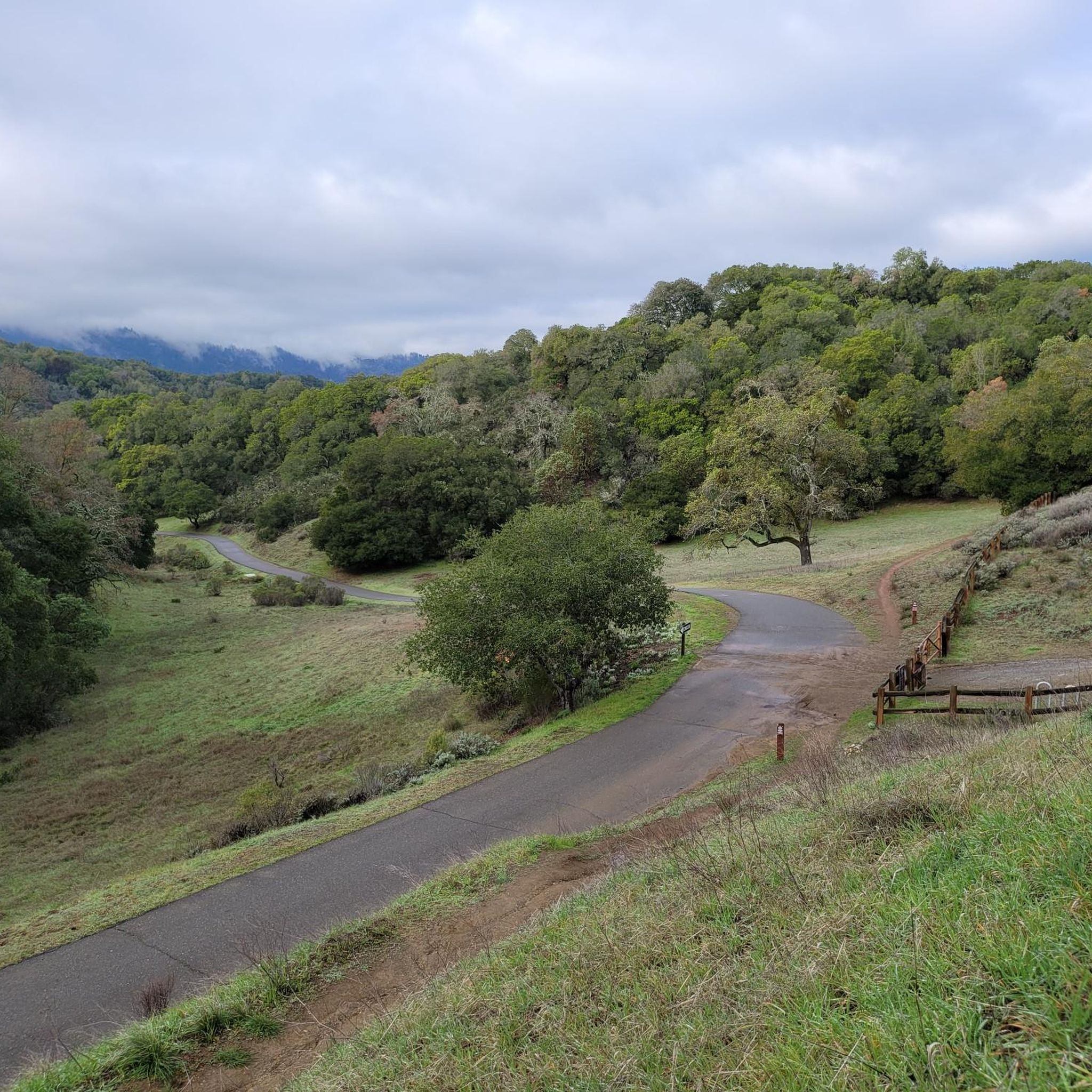
Road Cycling Routes in Windy Hill Open Space Preserve (Closed Areas)
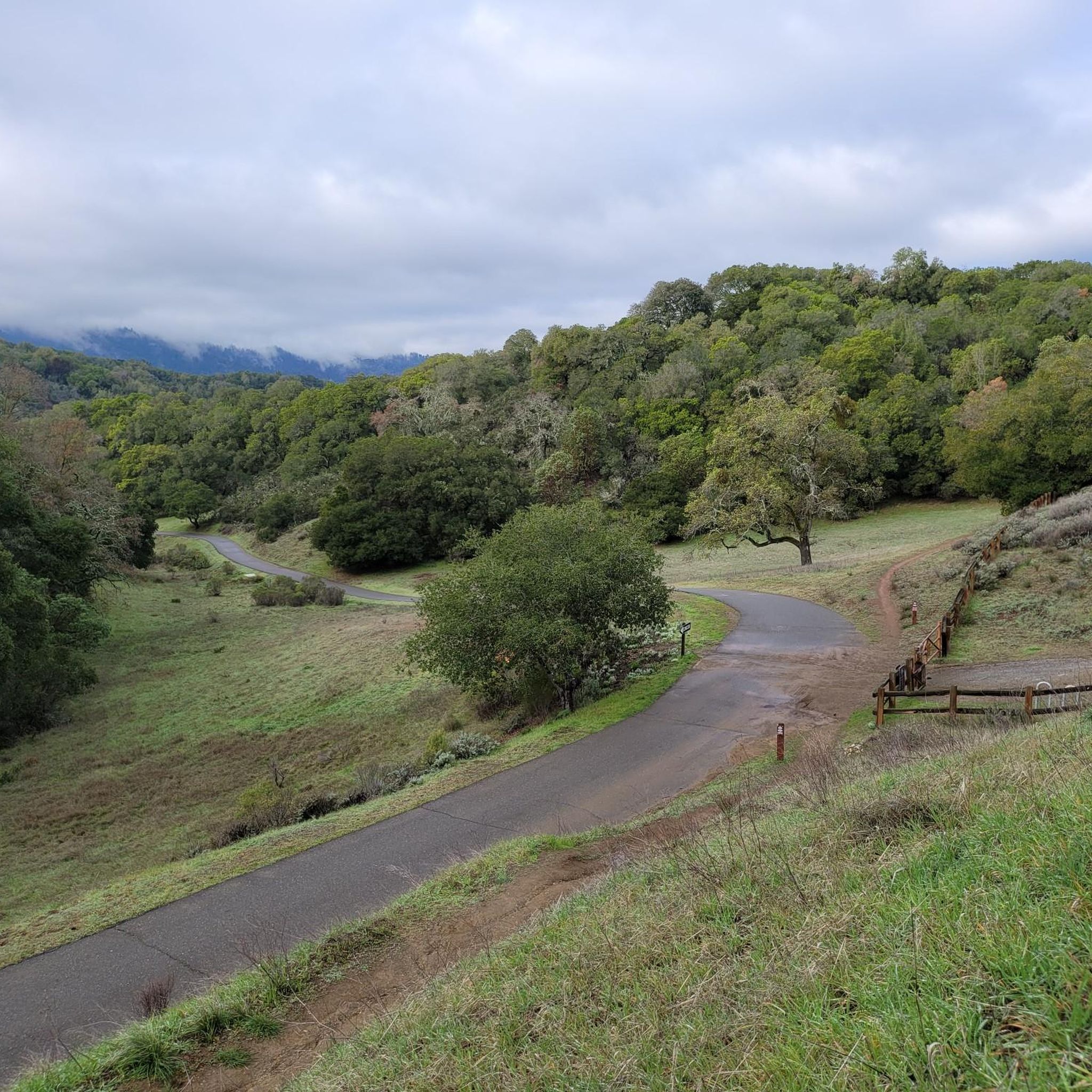
Cycling in Windy Hill Open Space Preserve (Closed Areas)
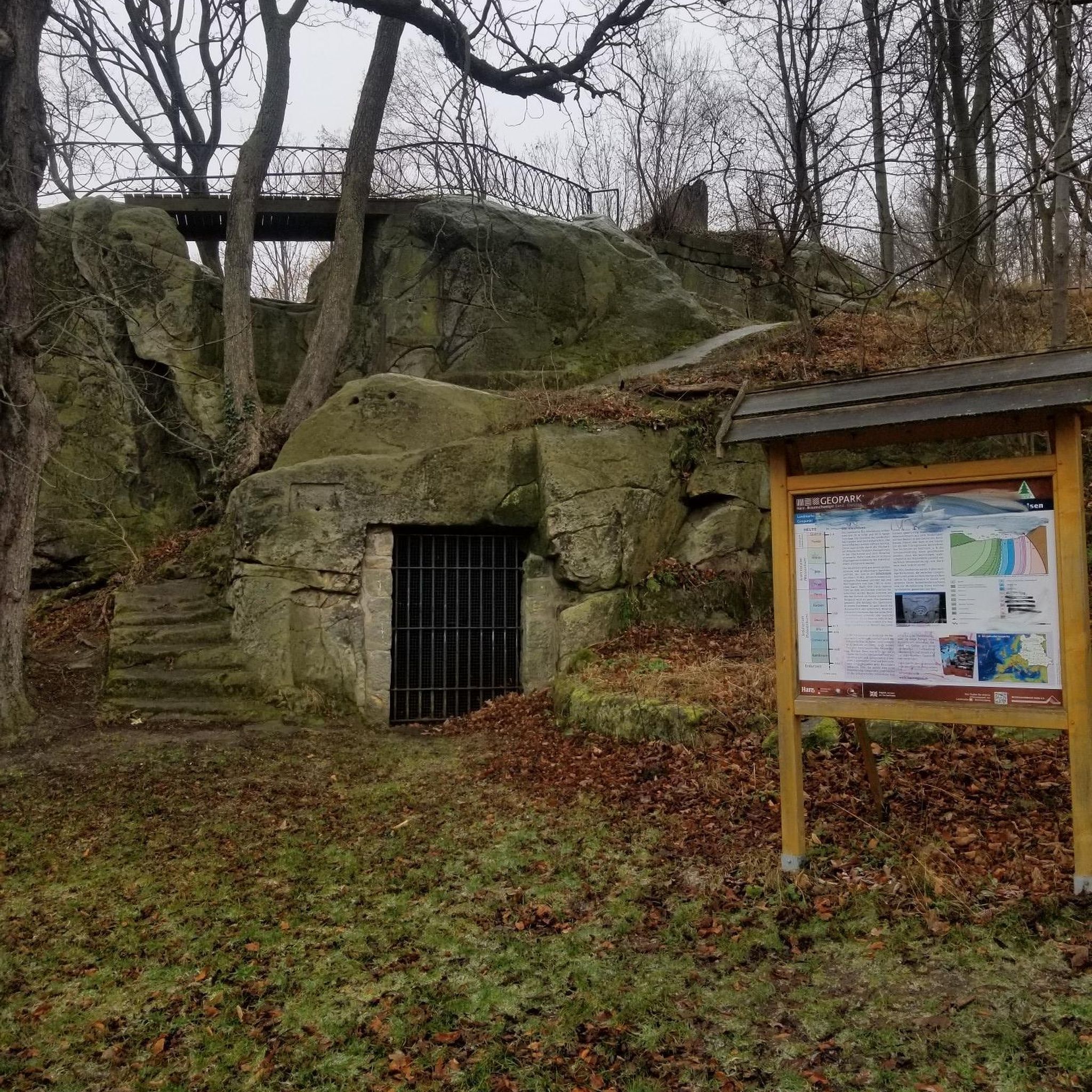
Gravel biking in Windy Hill Open Space Preserve (Closed Areas)
Tips from the Community

The hike from Razorback Ridge trailhead to the Windyhill summit is mostly through shaded sections. Sections of it kept cool from the fog rolling in from the Santa Cruz Mountains. The final section, Anniversary Trail is out in the open but has nice views of the bay.
0
0

Along the Old Spanish Trail, there’s a small bench tucked under eucalyptus trees where you get a clear view of Mt. Diablo. It’s a good spot to pause, catch your breath, and take in the landscape.
0
0
Enid Pearson-Arastradero Preserve offers rolling grasslands mixed with oak and evergreen trees. The trail system starts on pavement and transitions to packed dirt and gravel—great for bikes with wider tires or a solid gravel setup. Keep an eye out for deer, coyotes, and even bobcats, and take a moment to pause at one of the benches or by Arastradero Lake to enjoy the open views.
0
0

Windy Hill Summit, located at an elevation of 1,905 feet within the Windy Hill Open Space Preserve, offers great views of Silicon Valley and the Peninsula. The preserve stretches 1,132 acres along the east side of the Santa Cruz Mountains, coming up from the valley road near Portola Valley to this scenic summit. It’s a great spot to watch the sunset and take in views.
0
1

Arastradero Lake is a quiet pond in the hills of the Arastradero Preserve. The lake is surrounded by oak trees and can get pretty dry in summer.
0
0

Windy Hill Open Space Preserve encompasses a little over 1,100 acres of barren land with a few spotty forest areas. The majority of the Peninsula Range (the mountain range in which the park is encompassed) is completely covered in trees, but the Windy Hill Open Space Preserve has a bunch of open meadows and bald hills with expansive views.
0
0

Asastradero Lake is more of a small farm pond in the hills of Palo Alto than a lake. It is heavy with vegetation and can be a good spot to glimpse some wildlife along your run.
0
0
Arastradero Lake is nestled in the hills of the Enid Pearson-Arastradero Preserve. The lake is surrounded by oak trees and can get quite dry in the summer.
1
0
Frequently Asked Questions
How many hiking trails are available in Windy Hill Open Space Preserve?
Windy Hill Open Space Preserve offers a wide network of trails for hikers. There are over 150 routes available, ranging from easy strolls to more challenging climbs, ensuring options for various ability levels.
What kind of landscapes can I expect to see while hiking here?
Hikers can experience diverse ecosystems, including open grassland ridges, dense oak woodlands, chaparral, and forests of redwood and Douglas-fir. The preserve is known for its distinctive, often breezy, grass-covered hilltop and offers varied scenery throughout.
Are there trails suitable for beginners or families?
Yes, the preserve offers trails for all skill levels. There are over 80 easy routes, perfect for beginners or families looking for a gentle walk. These trails often feature less elevation gain and well-maintained paths.
What are the best times of year to visit Windy Hill Open Space Preserve?
The preserve offers beauty year-round. Spring is ideal for viewing vibrant wildflowers across the grassy meadows. Autumn brings out beautiful maples, particularly along trails like the Lost Trail. Summertime often sees fog spilling over Skyline Ridge, providing cooler, lush conditions in the woods.
Are dogs allowed on the trails?
Yes, dogs are permitted on leash on many trails within Windy Hill Open Space Preserve. Always ensure your dog is under control and follow all posted regulations to protect wildlife and other visitors.
Can I find trails with panoramic views?
Absolutely. The summit of Windy Hill, at 1,905 feet, provides breathtaking 360-degree panoramas. On clear days, you can often see both the San Francisco Bay and the Pacific Ocean. The Anniversary Trail and Herb Grench overlook are excellent spots for these expansive vistas.
Are there any notable natural features or attractions to look out for?
A highlight is Sausal Pond, a picturesque spot where you can observe wildlife like egrets, blue herons, and even the Western pond turtle. The preserve also boasts impressive old-growth Douglas-fir trees, especially along the Lost Trail, and beautiful seasonal wildflowers.
What do other hikers enjoy most about hiking in Windy Hill Open Space Preserve?
The area is highly rated by the komoot community, with an average score of 4.6 stars. Reviewers often praise the diverse landscapes, from open grasslands to redwood forests, and the stunning panoramic views from the hilltop. The variety of trails for different skill levels is also frequently highlighted.
Are there any circular hiking routes available?
Yes, many of the trails in Windy Hill Open Space Preserve are designed as loops. For example, the Windy Hill Summit loop from Portola Valley is a popular 5.6-mile route that showcases many of the preserve's highlights. Another option is the Arastradero Lake loop from Ladera, which leads to Sausal Pond.
What are some longer, more challenging hiking options?
For those seeking a longer challenge, routes like the Foothills Nature Preserve loop from Portola Valley offer over 7 miles of hiking with significant elevation gain. While most routes are moderate, there are also 9 difficult trails for experienced hikers.
Is there a specific trail that goes through old-growth trees?
Yes, the Lost Trail is known for traveling through attractive woodlands, including sections with impressive old-growth Douglas-fir trees. It's also part of the Bay Area Ridge Trail and offers great views on clear days.
Are there opportunities for wildlife viewing?
Beyond the aquatic life at Sausal Pond, the diverse habitats support various bird species, including hawks, Lesser and American Goldfinches, Pine Siskins, and Lazuli Buntings, making it a favorite for birdwatchers. Keep an eye out for other local fauna as well.
Most popular routes in Windy Hill Open Space Preserve (Closed Areas)

Get inspired with the komoot mobile app


Explore more
Browse the best Hikes in other regions.
