The best running trails in Ohlone Regional Wilderness Area
48
runners
11
runs
Jogging in Ohlone Regional Wilderness Area offers an extensive and challenging trail system across diverse landscapes in southern Alameda County, California. The region is characterized by rugged ridges, canyons, and significant elevation changes, with routes traversing oak woodlands and expansive grassy uplands. Runners can experience varying terrain, from more rugged paths to sections with less strenuous gradients. This remote wilderness provides a scenic experience for those seeking demanding running routes.
Best jogging routes in Ohlone Regional Wilderness Area
- The most…
Last updated: October 19, 2026
2
runners
20.0km
03:10
1,150m
1,150m
Hard run. Very good fitness required. Mostly paved surfaces. Suitable for all skill levels.
7.51km
00:56
180m
180m
Moderate run. Good fitness required. Mostly paved surfaces. Suitable for all skill levels.

6
runners
5.98km
00:44
60m
60m
Moderate run. Good fitness required. Mostly paved surfaces. Suitable for all skill levels.
1
runners
6.06km
00:51
220m
220m
Moderate run. Good fitness required. Mostly paved surfaces. Suitable for all skill levels.
1
runners
6.68km
00:56
220m
220m
Moderate run. Good fitness required. Mostly paved surfaces. Suitable for all skill levels.
Get access to more routes and recommendations from other explorers.
Already have an account?
Our route recommendations are based on thousands of hikes, rides, and runs completed by other people on komoot.
Start today with a free account
Your next adventure awaits.
Popular around Ohlone Regional Wilderness Area
Tips from the Community

The trail to Murietta Falls is a very challenging run, with a lot of elevation gain, but it is worth it for the wonderful scenery and beautiful falls at the end. The amount of water in the falls will vary depending on the amount of rain there has been.
0
0

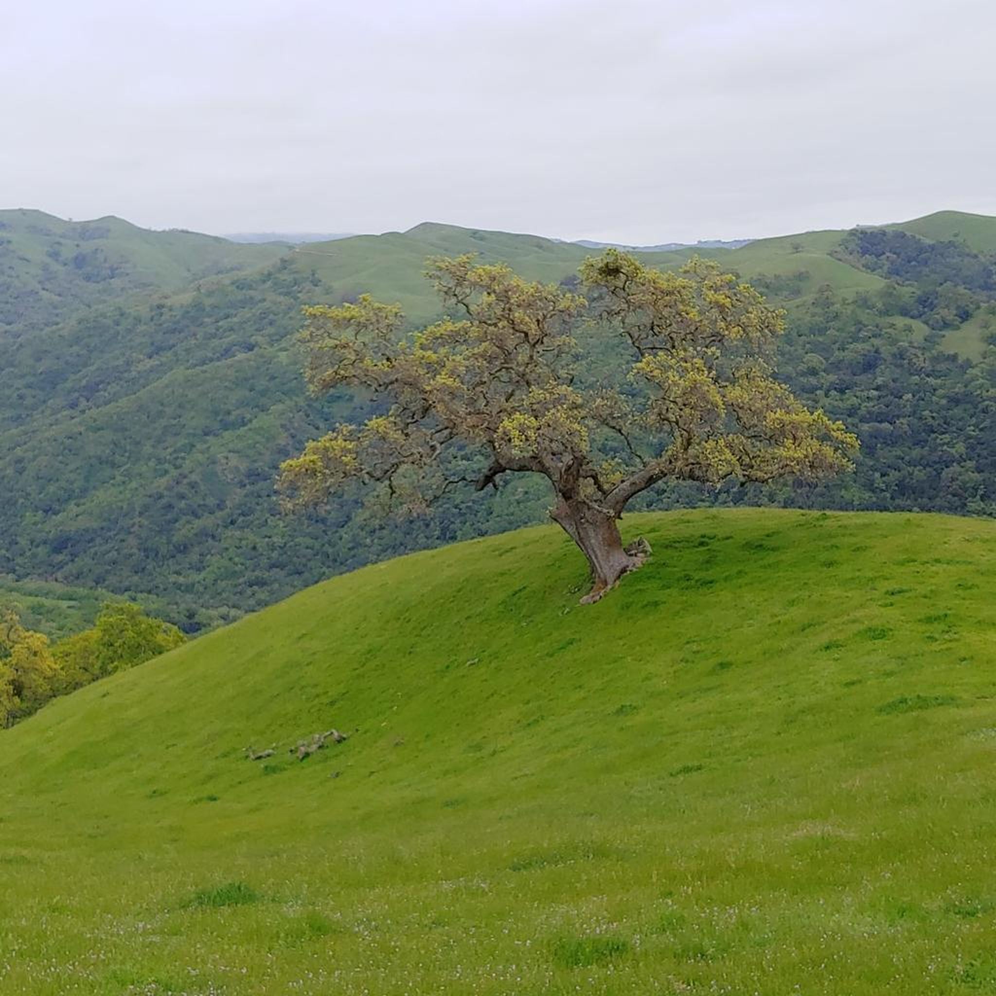
From this viewpoint, you can enjoy stunning views of rolling hills and valleys. If you come here in the spring, and more specifically late May, you will be able to bask in the full bloom of the wildflowers in the area.
0
0
This park is considered to be a mini Yosemite with creeks, boulders and sometimes waterfalls. It costs $5 to get access the site and if you go during peak times, it is normally fairly busy.
0
0

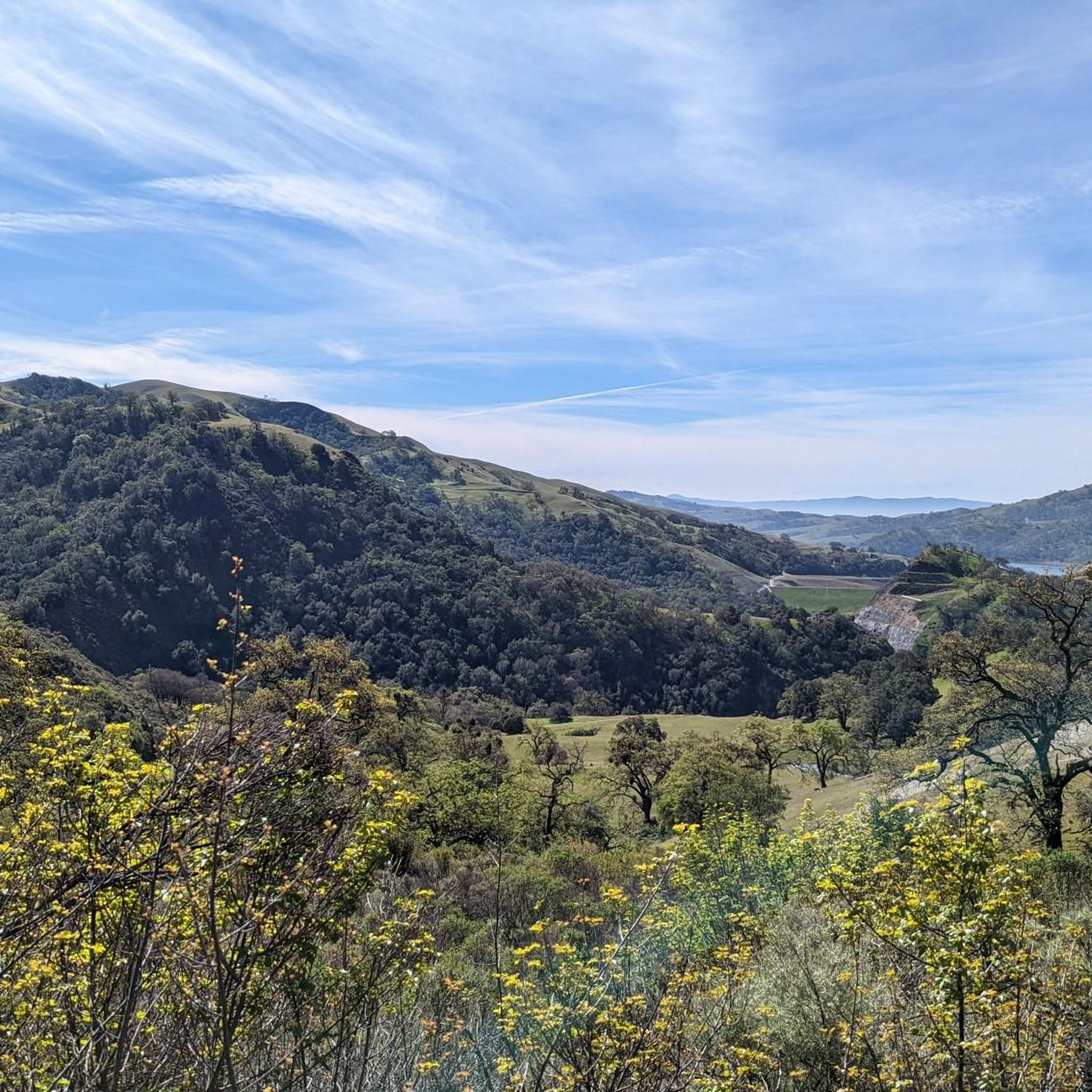
A well-marked and well-maintained trail, where you can spot wildlife and have scenic views of Lake Del Valle. There is little shade on the Ridgeline Trail loop, so it is recommended to do it in early spring, autumn, and winter seasons. The park charges a fee of $6.
0
0
La Costa Creek flows down the rock wall forming a beautiful waterfall. The falls are a refreshing spot to finish the long hike through the Ohlone Trail, offering beautiful scenery. The best time to hike to there is early spring, after rainy days, to see the green diverse flora and the wildflowers blooming.
0
0

Badger Cove is a small bay on Lake Del Valle. The East Shore Trail is one of the highlights of Del Valle State Recreation Area, and it offers views of the cove from between the trees. The Ridgeline Trail is another path on the property that offers great views of the cove and lake from a higher vantage point.
0
0
Badger Cove is a small bay on Lake Del Valle. The East Shore Trail is one of the highlights of Del Valle State Recreation Area, and it offers views of the cove from between the trees. The Ridgeline Trail is another path on the property that offers great views of the cove and lake from a higher vantage point.
0
0
This natural oasis is the perfect stop if you're willing to pay the $5 entrance fee (cash only). Here you will find lots of small to moderate waterfalls, making the hike around the area not only visually stunning but also very relaxing as the sounds coming from the waterfalls can be heard from every direction.
0
0
Frequently Asked Questions
How many running routes are available in Ohlone Regional Wilderness Area, and what are their difficulty levels?
The Ohlone Regional Wilderness Area offers a selection of 16 running routes. These trails are generally challenging, with 8 routes classified as moderate and 8 as difficult, catering to runners seeking a demanding experience.
Are there any jogging trails that feature waterfalls in the Ohlone Regional Wilderness Area?
Yes, you can jog to the scenic Murietta Falls. The Murietta Falls via Ohlone WIlderness Trail — Alameda County is a difficult 12.4-mile route that leads directly to this beautiful attraction, especially impressive after significant rainfall.
Can I find circular running routes in the Ohlone Regional Wilderness Area?
Absolutely. Several excellent loop routes are available for runners. For a moderate option, consider the Del Valle Regional Park loop via Ridgeline Trail — Alameda County. Another popular choice is the Ridgeline Trail – Lake Del Valle loop from Livermore, which offers rugged terrain and views of Lake Del Valle.
What kind of wildlife might I encounter while running in the Ohlone Regional Wilderness Area?
The area is a vital corridor for diverse wildlife. Runners might spot golden eagles, mountain lions, tule elk, foxes, bobcats, and coyotes. The endangered bald eagle is also present, and seasonal aggregations of ladybugs can be observed in isolated valleys.
Are there any viewpoints or notable landmarks along the running trails?
Yes, the wilderness offers several stunning viewpoints. Rose Peak, at 3,817 feet, provides 360-degree panoramic views. From the eastern flanks of the Mission Peak area, you can enjoy excellent vistas of Sunol Valley, Valpe Ridge, and Rose Peak in the distance. The trails also traverse rugged ridges and canyons, offering a sense of remoteness.
What is the best time of year to go jogging in the Ohlone Regional Wilderness Area?
Spring is particularly beautiful for running, as the expansive grassy uplands become profusely flowered with seasonal wildflowers, offering vibrant displays. While Murietta Falls flows best after significant rainfall, the diverse ecosystems and oak woodlands are enjoyable year-round, though summer can be hot and dry.
Are there any running routes suitable for beginners or those looking for less strenuous options?
While many routes in Ohlone Regional Wilderness Area feature significant elevation changes and are rated moderate to difficult, some shorter, less strenuous options exist. For example, the McCorkle Trail to Camp Ohlone Road loop — Sunol Regional Wilderness is a moderate 3.8-mile route with a more manageable elevation gain, offering a good option for those seeking a less intense run.
What do other runners enjoy most about jogging in the Ohlone Regional Wilderness Area?
The area is highly rated by the komoot community, with an average score of 5.0 stars. Runners frequently praise the challenging terrain, the sense of remoteness, and the diverse landscapes, including oak woodlands and expansive grassy uplands. The significant elevation changes are often highlighted as a key feature for those seeking a demanding workout.
Are there any specific considerations for parking when accessing jogging trails in the Ohlone Regional Wilderness Area?
Access to the Ohlone Regional Wilderness Area is typically through connecting regional parks like Sunol Regional Wilderness and Del Valle Regional Park. Parking facilities are available at these entry points, but it's advisable to check the specific park's website for details on parking fees and availability, especially during peak times.
Can I connect to other regional parks from the running trails in Ohlone Regional Wilderness Area?
Yes, the Ohlone Wilderness Trail, which is a centerpiece for joggers, connects Mission Peak Regional Preserve in Fremont to Del Valle Regional Park in Livermore, traversing through Sunol Regional Wilderness and the Ohlone Wilderness itself. This allows for extended outdoor adventures and varied running experiences across multiple parks.
What kind of terrain can I expect on the running trails?
The trails offer a diverse and engaging running experience, ranging from mostly rugged paths to sections with less strenuous gradients. You'll encounter significant elevation changes, traversing through oak woodlands, expansive grassy uplands, and rugged ridges and canyons. The 28-mile Ohlone Wilderness Trail alone features over 8,000 feet of elevation gain across its entire length.
Are there any shorter running loops available for a quick workout?
For a quicker run, the Badger Cove – Badger Cove loop from Del Valle Regional Park is a moderate 4.8-mile route. It offers a good option for those looking for a shorter, yet still engaging, running experience within the broader wilderness area.
Most popular routes in Ohlone Regional Wilderness Area

Get inspired with the komoot mobile app


Explore more
Browse the best Running Trails & Routes in other regions.
