The best road cycling routes in Anderson Lake County Park
4.8
(11)
1,068
riders
43
rides
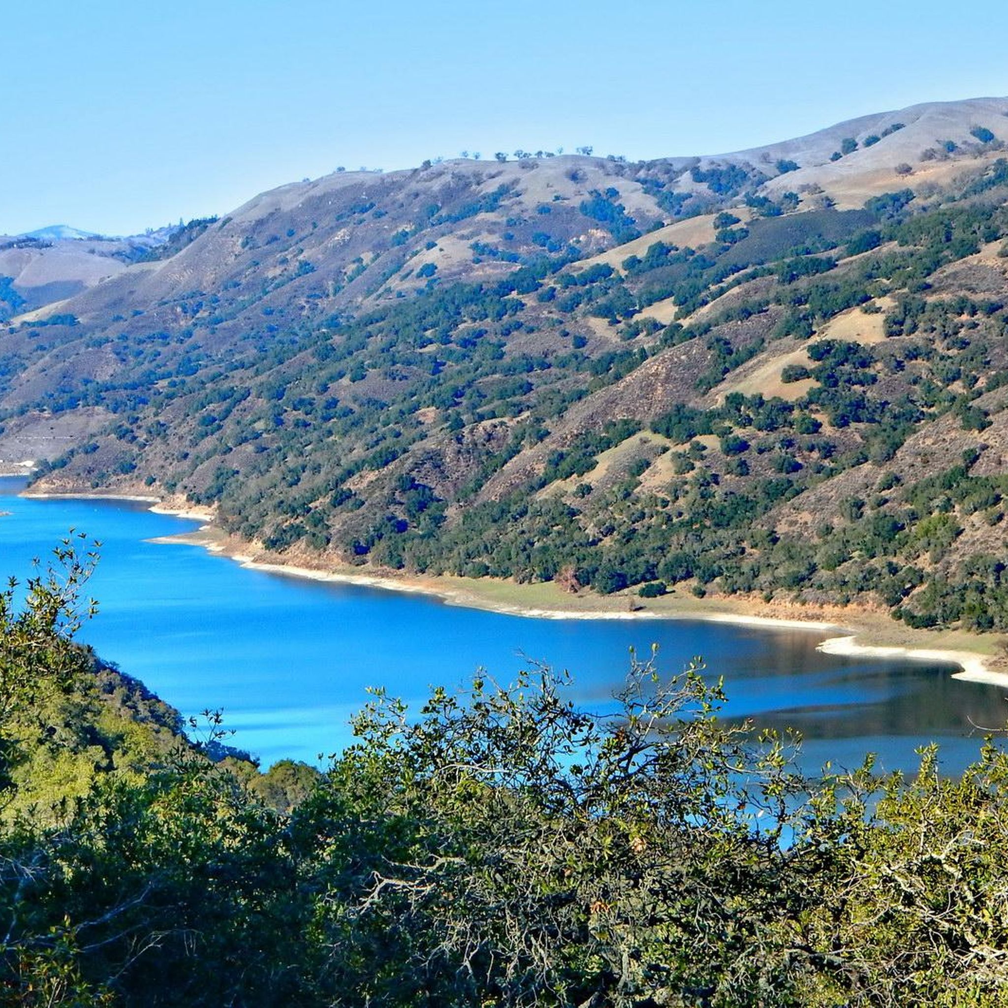
Road cycling in Anderson Lake County Park features a diverse landscape, encompassing the expansive Anderson Lake and the eastern hillsides of Morgan Hill. The park spans over 4,200 acres, offering a mix of paved trails, riparian habitats along Coyote Creek, and oak-pine woodlands. The Coyote Creek Parkway provides a relatively flat, paved multi-use trail, while other routes present more challenging terrain with significant elevation changes. This region is characterized by its natural beauty, providing opportunities to observe wildlife and enjoy…
Last updated: August 25, 2026
5.0
(2)
165
riders
43.3km
02:13
130m
130m
Moderate road ride. Good fitness required. Some segments of this route may be unpaved and difficult to ride.
64
riders
42.1km
02:31
1,020m
1,020m
Hard road ride. Very good fitness required. Mostly well-paved surfaces and easy to ride.

Sign up for free
4.0
(2)
120
riders
34.7km
01:34
360m
360m
Moderate road ride. Good fitness required. Mostly well-paved surfaces and easy to ride.
96
riders
93.2km
04:00
760m
760m
Moderate road ride. Good fitness required. Mostly well-paved surfaces and easy to ride.
63
riders
Moderate road ride. Good fitness required. Mostly well-paved surfaces and easy to ride.
Get access to more routes and recommendations from other explorers.
Sign up for free
Already have an account?
Our route recommendations are based on thousands of hikes, rides, and runs completed by other people on komoot.
Start today with a free account
Your next adventure awaits.
Login or Signup
Popular around Anderson Lake County Park
Tips from the Community

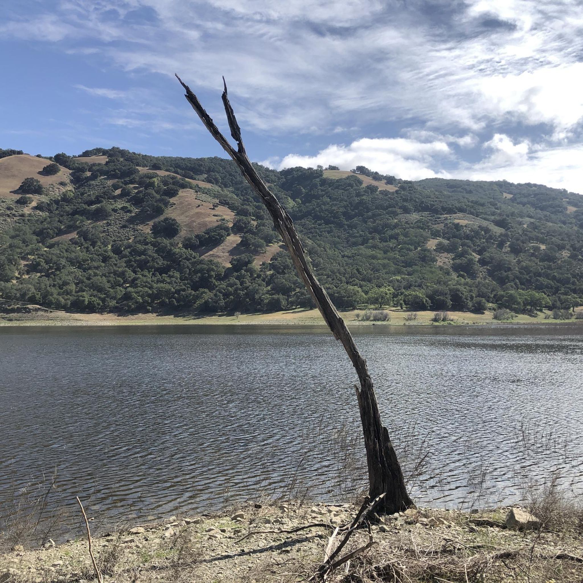
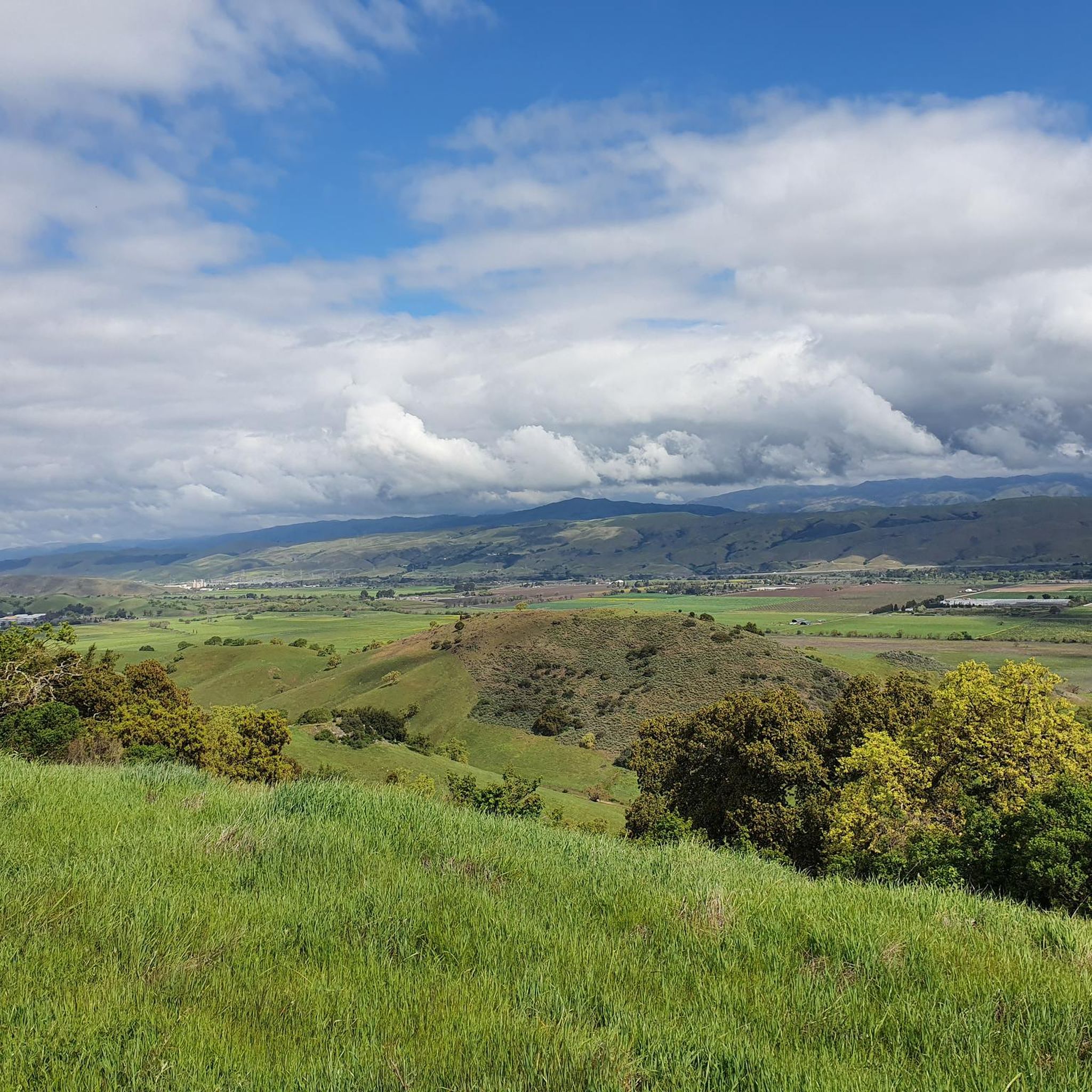
The Coyote Creek Trail passes through the heart of Coyote Ranch, which is lined with open pastures and hillsides. There are also a couple small reservoirs on the property that you get to walk by during your hike.
0
0

Chesbro Reservoir County Park is a 232-acre park that surrounds Chesbro Reservoir and is known for catch-and-release fishing. There is no swimming or boating allowed in the lake.
0
0
Chesbro Reservoir County Park is a 232-acre park that surrounds Chesbro Reservoir and is known for catch-and-release fishing. There is no swimming or boating allowed in the lake.
0
0

The pond is nestled within the larger Coyote Creek Parkway, providing access to miles of trails for running, biking, or hiking. You can explore further along Coyote Creek and discover more scenic spots.
0
0

The Coyote Creek Trail, also called the Bay Area Ridge Trail, is a stunningly paved multi-use path that slowly transitions to gravel. The trail winds in between a number of ponds and has a little more shade at the turnaround loop.
0
0
The 21-Mile House, at 21-Mile Park, was a tavern and stagecoach rest stop located 21 miles away from San Jose. The house was constructed in 1852 (although no longer here today) and was crucial for providing refreshments to horses and their riders. Today there is a bronze plaque to commemorate the site.
0
0
Rancho San Vicente Open Space Trailhead is a nice place to take a break on a run and use the restroom or enjoy the views of nature. There are plenty of trails that you could extend your run onto in the area with most of them being well marked and pretty smooth.
0
0
The 21-Mile House, at 21-Mile Park, was a tavern and stagecoach rest stop located 21 miles away from San Jose. The house was constructed in 1852 (although no longer here today) and was crucial for providing refreshments to horses and their riders. Today there is a bronze plaque to commemorate the site.
0
0
Frequently Asked Questions
What kind of road cycling routes can I expect in Anderson Lake County Park?
Anderson Lake County Park offers a diverse range of road cycling routes. You'll find everything from relatively flat, paved multi-use trails like the Coyote Creek Parkway, ideal for leisurely rides, to more challenging routes with significant elevation gain in the eastern hillsides of Morgan Hill. The park features a mix of riparian habitats, oak-pine woodlands, and scenic views of Anderson Lake.
How many road cycling routes are available in Anderson Lake County Park?
There are over 40 road cycling routes available in Anderson Lake County Park. This includes 18 easy routes, 21 moderate routes, and 4 more difficult options, ensuring there's something for every skill level.
Are there any easy road cycling routes suitable for beginners or families?
Yes, Anderson Lake County Park has several easy road cycling routes. A great option for a gentle ride is the Ogier Ponds Bike Path loop from Malaguerra Winery, which is a shorter 5.4-mile path providing a pleasant experience through the park's surroundings.
What are some of the most scenic features I'll encounter on a road bike ride in the park?
Road cycling in Anderson Lake County Park offers beautiful scenery. You'll enjoy views of Anderson Lake, the largest reservoir in Santa Clara County, and ride alongside the tranquil Coyote Creek, which features a rich riparian habitat. The routes also pass through lush oak-pine woodlands and offer glimpses of the Diablo Range foothills, providing opportunities to spot local wildlife.
Are there any longer or more challenging road cycling routes for experienced riders?
Absolutely. For experienced riders seeking a challenge, the Henry Coe State Park on East Dunne Avenue from Morgan Hill is a difficult 26.2-mile route leading through varied terrain with significant elevation gain. Another moderate, longer option is the Ogier Ponds Bike Path – Coyote Creek Trail loop from Live Oak High School, a 32.1-mile trail following Coyote Creek.
What do other road cyclists say about their experience in Anderson Lake County Park?
The road cycling routes in Anderson Lake County Park are highly rated by the komoot community, with an average score of 5.0 stars from more than 10 reviews. Cyclists often praise the well-maintained paved trails, the beautiful natural surroundings, and the variety of routes suitable for different fitness levels.
Are there any loop routes available for road cycling in the park?
Yes, there are several loop routes. For example, the Chesbro Reservoir County Park – Chesbro Reservoir County Park loop from Morgan Hill offers a moderate 22.6-mile ride. Another option is the Calero Reservoir – Uvas Reservoir loop from Morgan Hill, a longer 57.9-mile moderate route.
Where can I park when visiting Anderson Lake County Park for road cycling?
Anderson Lake County Park offers various access points with parking. Along the Coyote Creek Parkway, you'll find numerous picnic areas, such as the Woodchoppers area and Live Oak Picnic Area, which typically provide convenient parking spots for cyclists to begin their rides.
Is the Coyote Creek Parkway suitable for road bikes?
Yes, the Coyote Creek Parkway is a prime destination for road cyclists. It features a relatively flat, paved, multi-use trail that extends for fifteen miles, providing a smooth and enjoyable surface ideal for road biking. It's a great option for both leisurely rides and more rigorous training.
What kind of wildlife might I see while cycling in Anderson Lake County Park?
The park is rich in wildlife. Along the Coyote Creek, you might spot various bird species like Belted Kingfishers, Black Phoebes, Mallards, woodpeckers, and songbirds. In the woodlands and open meadows, look out for California Quail, Chestnut-backed Chickadees, and raptors such as Red-tailed Hawks, American Kestrels, and Turkey Vultures soaring overhead.
Are there places to rest or have a picnic along the road cycling routes?
Yes, the park is well-equipped with picnic areas, especially along the Coyote Creek trail. Locations like the Woodchoppers area and Live Oak Picnic Area provide convenient spots for cyclists to take a break, enjoy a snack, and refresh themselves during their ride.
Most popular routes in Anderson Lake County Park

Get inspired with the komoot mobile app


Explore more
Browse the best Road cycling routes in other regions.
