The best walks and hikes in Coyote Lake - Harvey Bear Ranch County Park
4.5
(13)
232
hikers
15
hikes
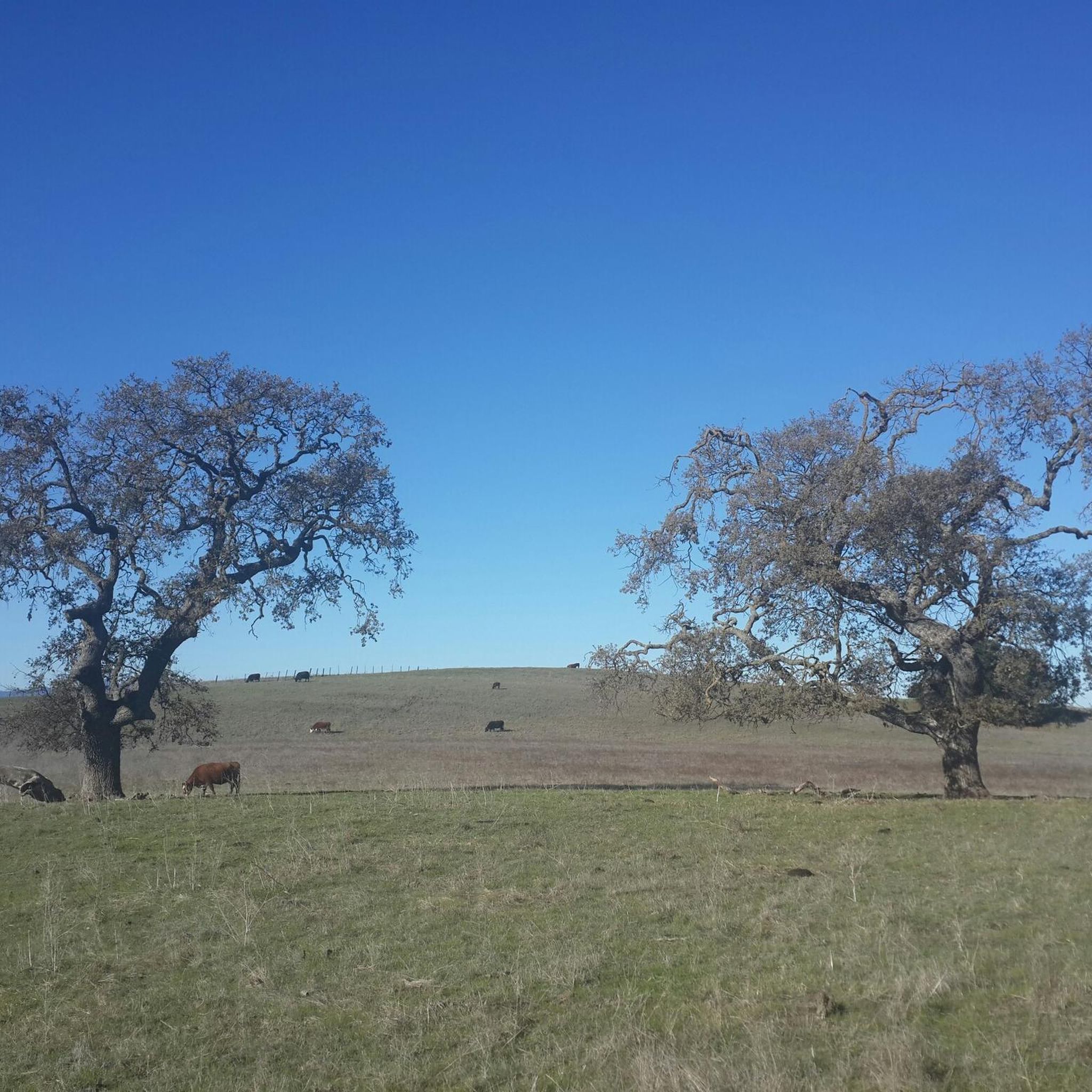
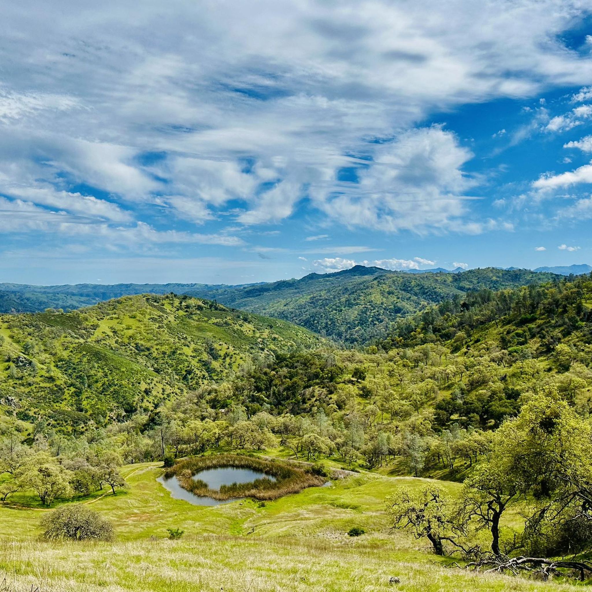
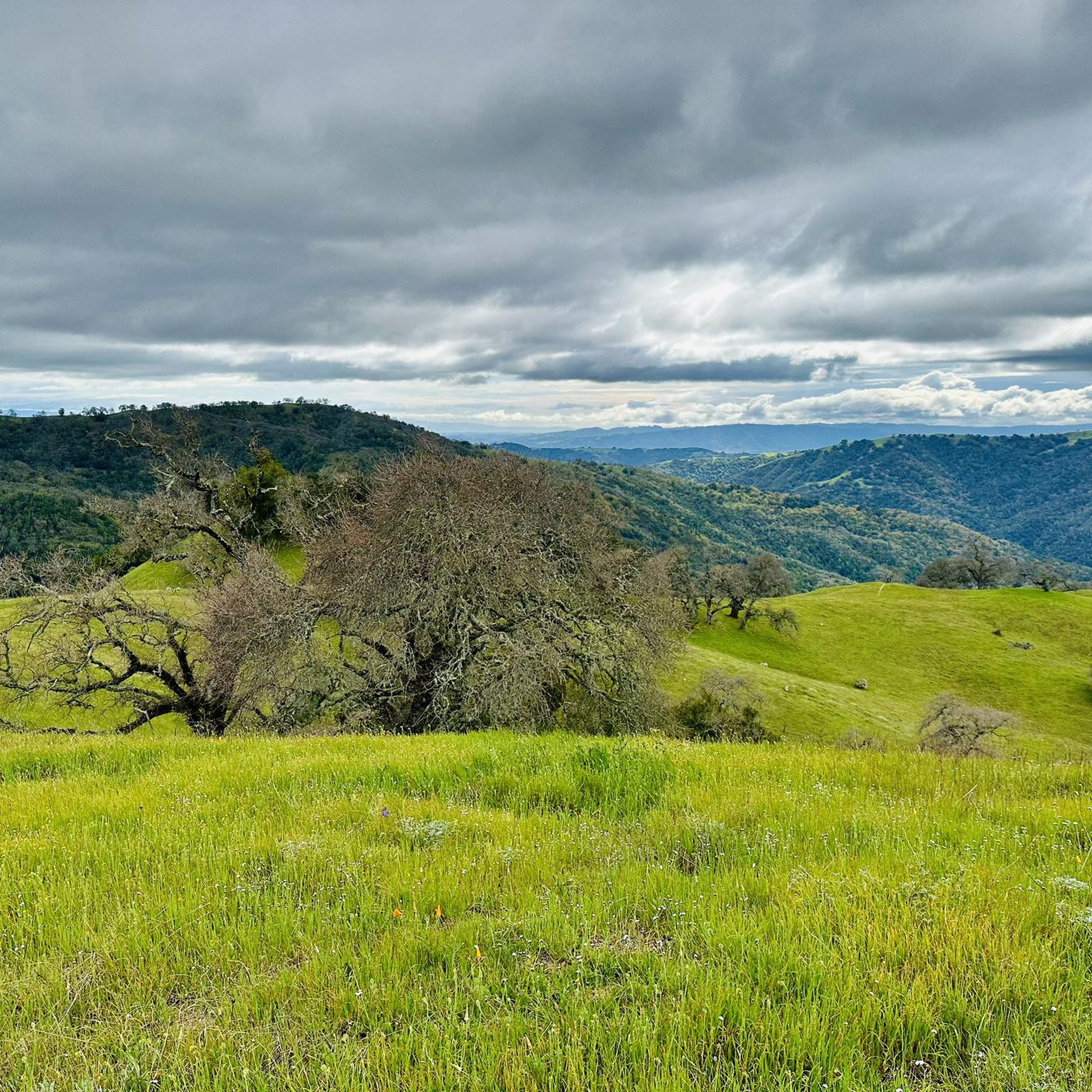
Hikes in Coyote Lake - Harvey Bear Ranch County Park explore a 6,695-acre landscape of rolling hills east of Gilroy. The park's terrain is characterized by grassy ridgelines, oak-studded canyons, and paths that offer views over the southern Santa Clara Valley. The trail network, which totals 35 miles (56 km), provides routes of varying difficulty around the 449-acre Coyote Lake and through the adjacent ranch lands.
Best hiking trails in Coyote Lake - Harvey Bear Ranch County Park
- The most…
Last updated: October 10, 2026
15
hikers
6.78km
01:59
210m
180m
The Harvey Bear, Willow Springs, and Townsprings Loop offers a delightful escape into rolling California hills, perfect for a refreshing hike. You will wind through diverse terrain, from sun-drenched grassy…
5.0
(1)
7
hikers
12.2km
03:33
320m
300m
Embark on the Harvey Bear, Calaveras, Coyote Ridge and Willow Springs Loop for a moderate hiking adventure that spans 7.6 miles (12.2 km). You will gain 1046 feet (319 metres)…

4
hikers
16.9km
04:46
360m
330m
Hike the moderate 10.5-mile Gaviota, Harvey Bear and Calaveras Trail in Coyote Lake - Harvey Bear Ranch County Park, with views of Coyote Re
2
hikers
8.25km
02:26
280m
180m
Embark on the Townsprings, Harvey Bear, Coyote Ridge and Willow Springs Loop, a moderate hiking route that spans 5.1 miles (8.2 km) with a total elevation gain of 932 feet…
9.76km
02:45
210m
180m
Hike the moderate 6.1-mile Gaviota and Valley Oak Trail Loop in Coyote Lake Harvey Bear Ranch County Park, with reservoir views.
Get access to more routes and recommendations from other explorers.
Already have an account?
Our route recommendations are based on thousands of hikes, rides, and runs completed by other people on komoot.
Start today with a free account
Your next adventure awaits.
Popular around Coyote Lake - Harvey Bear Ranch County Park

Bay Area Ridge Trail — Hiking the backbone of The Bay

Bay Area Ridge Trail — Circumnavigating the San Francisco Bay
Running Trails in Coyote Lake - Harvey Bear Ranch County Park
Cycling in Coyote Lake - Harvey Bear Ranch County Park
Road Cycling Routes in Coyote Lake - Harvey Bear Ranch County Park
MTB Trails in Coyote Lake - Harvey Bear Ranch County Park
Other adventures in Coyote Lake - Harvey Bear Ranch County Park

Tips from the Community

Coyote Reservoir is a man-made lake in Santa Clara County, north of Gilroy. There are many trails in the reservoir for running, walking, and biking. The lake is also navigable from April to October.
0
0

Enjoy miles of trails winding through diverse landscapes, from oak woodlands to grasslands, catering to all levels. Keep your eyes peeled for over 219 bird species, including bald eagles, owls, and songbirds.
0
0
Coyote Reservoir is a man-made lake in Santa Clara County, north of Gilroy. There are many trails in the reservoir for running, walking, and biking. The lake is also navigable from April to October.
1
0

Willow Springs Trail is one of the primary routes for hikers to enter the 6,695 acre Coyote Lake - Harvey Bear Ranch County Park. The park features a 449-acre lake with a “world-class” population of black bass, bluegill, black crappie, and Eurasian carp. The park is home to rare western pond turtle, California tiger salamander, and Bay Checkerspot Butterfly, as well as two hundred-nineteen species of birds including bald eagles.
1
0
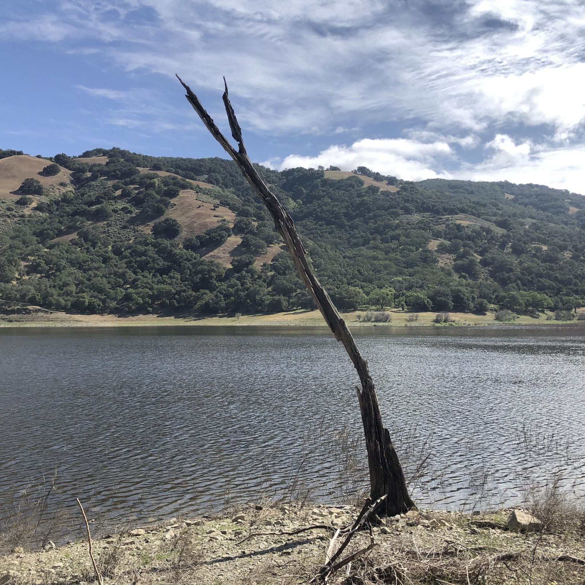
Coyote Lake (also known as Coyote Reservoir) was formed through the construction of a 140-foot (43 m) high, 980-foot (300 m) long, earth and rock dam in 1936. Swimming is not allowed in the lake by order of the Santa Clara Valley Water District, but it's worthy of a visit for the views alone (and fishing, for those who bring pole and tackle along for the hike!).
1
0
Frequently Asked Questions
Are dogs allowed in Coyote Lake - Harvey Bear Ranch County Park?
Yes, dogs are welcome in the park but they must be kept on a leash at all times. The trails are shared with hikers, cyclists, and equestrians, so it's important to keep your dog under control. Be aware that many trails are exposed with little shade.
Where is the best place to park for hiking?
There are several access points. For trails in the Harvey Bear Ranch section, the parking lot on East San Martin Avenue is a popular starting point. For access to trails closer to the lake and in the southern part of the park, you can use the Mendoza Ranch entrance or the main park entrance off Coyote Lake Road.
Are there any easy, family-friendly trails?
Yes, the park has options for families. While most trails in our guide are rated as moderate, there is a flat, two-mile paved loop near the lake that is ideal for a casual walk with children. The Coyote Lake loop from Gilroy is also a good moderate option that stays close to the shoreline.
What is the best time of year to hike in the park?
Spring and fall are the best seasons for hiking. In spring, the hills are green and you might see wildflowers. Fall offers cooler, more pleasant temperatures. Many trails are on exposed ridgelines, so hiking during the summer can be very hot and is best done in the early morning.
Which trails offer the best views?
Many trails provide panoramic views of the southern Santa Clara Valley. Hikes that climb to the grassy ridgelines are your best bet. For a challenging hike with rewarding vistas, consider the Calaveras & Mummy Mountain loop, which takes you up to some of the highest points in the park.
What kind of wildlife might I see?
The park is a rich habitat for wildlife. It's common to see black-tailed deer, turkeys, and grazing cattle. The area is also a fantastic spot for birdwatching, with over 219 species recorded, including bald eagles. In more remote areas, you might also spot rare species like the western pond turtle.
How difficult are the hikes in this park?
The park offers a range of difficulties across its 35 miles of trails. Most of the popular routes involve moderate climbs up to the ridges, with significant elevation gain. There are a few easier, flatter options near the lake, as well as more difficult, long-distance trails for experienced hikers. Always check the elevation profile of a trail before you start.
Are there any good circular hikes?
Yes, many of the park's best trails are loops. A great example is the Willow Springs Trail – Townsprings Trail loop from San Martin. This moderate route takes you through a mix of oak woodlands and open grasslands, offering a varied hiking experience without needing to backtrack.
Is there an entrance fee for the park?
Yes, Santa Clara County Parks typically require a vehicle entry fee. It's best to bring cash, although some locations may have credit card payment options. Fees are used for park maintenance and conservation.
Can I go camping in the park?
Yes, the Lakeview Campground offers 73 reservable sites for both RVs and tents. The campsites are located along the western shore of Coyote Lake and come equipped with amenities like picnic tables and barbecue pits, making it a great base for a weekend of hiking and recreation.
Is swimming or fishing allowed in Coyote Lake?
Fishing is very popular at Coyote Lake, which is known for its population of black bass, bluegill, and crappie. However, swimming is not permitted in the lake. Boating and other water sports are allowed seasonally.
What do other hikers think of the trails here?
The trails in Coyote Lake - Harvey Bear Ranch County Park are highly rated by the komoot community, with an average score of 5.0 stars. Hikers often praise the stunning panoramic views from the ridges and the peaceful, wide-open spaces.
Most popular routes in Coyote Lake - Harvey Bear Ranch County Park
Most popular attractions in Coyote Lake - Harvey Bear Ranch County Park

Get inspired with the komoot mobile app


Explore more
Browse the best Hikes in other regions.
