The best running trails in El Toro Open Space Preserve
3.7
(3)
142
runners
39
runs
Jogging routes in El Toro Open Space Preserve traverse diverse landscapes, including native oak woodlands and expansive grasslands. The preserve features varied terrain, from gentle paths to more challenging ascents, catering to different fitness levels. El Toro Mountain, rising 1,420 feet, is a prominent natural feature within the area. The region provides a network of trails suitable for running amidst scenic views.
Best jogging routes in El Toro Open Space Preserve
- The most popular jogging route is West Little Llagas…
Last updated: July 8, 2026
3.0
(1)
4
runners
6.86km
00:43
50m
50m
Moderate run. Good fitness required. Mostly paved surfaces. Suitable for all skill levels.
5
runners
9.57km
01:00
60m
60m
Moderate run. Good fitness required. Mostly paved surfaces. Suitable for all skill levels.

Sign up for free
2
runners
8.76km
00:55
40m
40m
Moderate run. Good fitness required. Mostly paved surfaces. Suitable for all skill levels.
9.72km
01:00
40m
40m
Moderate run. Good fitness required. Mostly paved surfaces. Suitable for all skill levels.
3
runners
9.71km
01:00
40m
40m
Moderate run. Good fitness required. Mostly paved surfaces. Suitable for all skill levels.
Get access to more routes and recommendations from other explorers.
Sign up for free
Already have an account?
Our route recommendations are based on thousands of hikes, rides, and runs completed by other people on komoot.
Start today with a free account
Your next adventure awaits.
Login or Signup
Popular around El Toro Open Space Preserve



Tips from the Community

The Chesbro Reservoir was formed from the damming of Llagas Creek. For thousands of years before the arrival of the Europeans, this area was visited by the Mutsun Ohlone Indians. Today, you can hike along the reservoir and enjoy the views of the water.
0
0
The 21-Mile House, at 21-Mile Park, was a tavern and stagecoach rest stop located 21 miles away from San Jose. The house was constructed in 1852 (although no longer here today) and was crucial for providing refreshments to horses and their riders. Today there is a bronze plaque to commemorate the site.
0
0
The Chesbro Reservoir was formed from the damming of Llagas Creek. For thousands of years before the arrival of the Europeans, this area was visited by the Mutsun Ohlone Indians. Today, you can run along the reservoir and enjoy the views of the water.
0
0
The 21-Mile House, at 21-Mile Park, was a tavern and stagecoach rest stop located 21 miles away from San Jose. The house was constructed in 1852 (although no longer here today) and was crucial for providing refreshments to horses and their riders. Today there is a bronze plaque to commemorate the site.
0
0
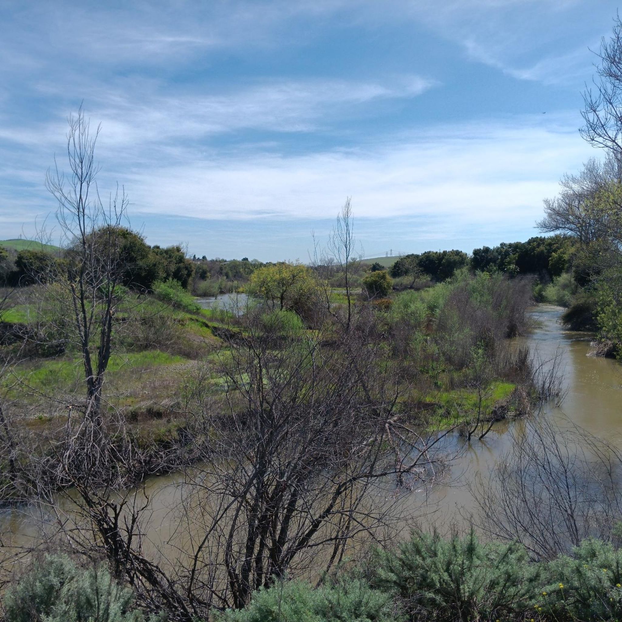
West Little Llagas Creek Trail is a nicely paved multi use path with benches and parks along the way. This is a great option to stay off the main roads and follow along a creek.
0
0
Frequently Asked Questions
How many running routes are available in El Toro Open Space Preserve?
El Toro Open Space Preserve offers nearly 40 running routes, catering to various preferences and fitness levels. You'll find a good mix of easy, moderate, and challenging paths to explore.
What kind of terrain can I expect on the jogging trails in El Toro Open Space Preserve?
The preserve features diverse terrain, including native oak woodlands, expansive grasslands, and vibrant seasonal wildflowers. You'll encounter paths with gentle inclines as well as more challenging ascents, all set against scenic views of El Toro Mountain and the surrounding valley.
Are there routes suitable for beginners or those looking for an easy run?
Yes, there are several easy routes perfect for beginners or a relaxed run. For instance, the Running loop from Morgan Hill is an easy 2.1-mile (3.3 km) path through accessible parkland, often completed in about 20 minutes.
Are there any longer routes for more experienced runners?
Absolutely. For a more extended run, consider the West Little Llagas Creek Trail loop from Morgan Hill, which is a moderate 6.3-mile (10.2 km) route. Another option is Oak Glen Avenue, a moderate 6-mile (9.7 km) path.
Can I bring my dog on the running trails in El Toro Open Space Preserve?
El Toro Open Space Preserve is generally dog-friendly, but it's always best to check specific trail regulations regarding leashes and waste disposal before your visit. Many trails allow dogs, making it a great place to run with your canine companion.
Are there any loop routes for jogging in the preserve?
Yes, many of the running paths in El Toro Open Space Preserve are loops, offering a convenient way to start and end your run at the same point. Examples include the popular West Little Llagas Creek Trail to De Witt Avenue loop and the 21 Mile Park – Site of 21-Mile House loop from Morgan Hill.
What natural features or viewpoints can I see while running?
While jogging, you'll be treated to views of native oak woodlands, expansive grasslands, and seasonal wildflowers. The prominent El Toro Mountain, rising 1,420 feet, offers breathtaking scenic views across the valley and towards the Santa Cruz Mountains, making for a picturesque backdrop to your run.
What do other runners say about the trails in El Toro Open Space Preserve?
The running routes in El Toro Open Space Preserve are generally well-regarded by the komoot community, with an average score of 3.0 stars from a few reviews. Runners often appreciate the varied terrain, from gentle paths to more strenuous climbs, and the opportunity to exercise amidst beautiful oak woodlands and grasslands.
What wildlife might I encounter on the trails?
El Toro Open Space Preserve is a vital habitat for various wildlife. While running, you might spot deer, bobcats, hawks, and native pollinators, adding an exciting element to your outdoor experience.
Is there parking available for the running trails?
Yes, parking is available at various access points to El Toro Open Space Preserve. Specific parking details can vary by trailhead, so it's advisable to check the starting point of your chosen route for the most convenient parking options.
What is the best time of year to go running in El Toro Open Space Preserve?
The preserve is enjoyable year-round, but spring is particularly beautiful with vibrant seasonal wildflowers. Fall offers pleasant temperatures and changing foliage. Summers can be warm, so early morning or late afternoon runs are recommended, while winters are generally mild.
Are there any cafes or restaurants nearby for after a run?
El Toro Open Space Preserve is located near Morgan Hill, which offers a variety of cafes, restaurants, and other amenities where you can refuel and relax after your run. You'll find options ranging from quick bites to more substantial meals in the town.
Most popular routes in El Toro Open Space Preserve

Get inspired with the komoot mobile app


Explore more
Browse the best Running Trails & Routes in other regions.
