The best cycling routes in Fort Ord Dunes State Park
4.8
(179)
2,822
riders
78
rides
Touring cycling in Fort Ord Dunes State Park features coastal landscapes, rolling dunes, and accessible trails along Monterey Bay. The park spans nearly 1,000 acres, offering four miles of beach and a dedicated 4-mile road for cycling. This recreation trail provides a path for exploration through undulating sandy mounds and past impressive cliffs. The area also connects to the wider Monterey Bay Coastal Trail, enhancing touring cycling options.
Best touring cycling routes in Fort Ord Dunes State Park
- The most…
Last updated: October 10, 2026
4.4
(10)
84
riders
52.3km
03:12
390m
390m
Moderate bike ride. Good fitness required. Mostly paved surfaces. Suitable for all skill levels.
30
riders
17.3km
01:01
100m
100m
Easy bike ride. Great for any fitness level. Mostly paved surfaces. Suitable for all skill levels.

4
riders
Easy bike ride. Great for any fitness level. Mostly paved surfaces. Suitable for all skill levels.
8
riders
9.77km
00:35
50m
50m
Easy bike ride. Great for any fitness level. Mostly paved surfaces. Suitable for all skill levels.
4.8
(12)
129
riders
34.2km
02:03
160m
160m
Moderate bike ride. Good fitness required. Mostly paved surfaces. Suitable for all skill levels.
Get access to more routes and recommendations from other explorers.
Already have an account?
Our route recommendations are based on thousands of hikes, rides, and runs completed by other people on komoot.
Start today with a free account
Your next adventure awaits.


Tips from the Community

A lovely wharf you should see
0
0

Nice, small (and free!) museum just before Fisherman's Wharf in Monterey. Nice exhibition.
1
0
Beautiful little wharf, touristy but still OK. Starting point for a (wonderful) whale watching tour. There is a sea lion colony on the edge - just watching these animals is worth a visit.
1
0

Sand City, California, a small city, is home to the scenic Sand City Beach. Once an industrial area, the dunes west of Highway 1 are now protected as part of the Eolian Dunes Preserve. The Sand City Beach Trail runs through the dunes, offering access to trails for hiking, biking, and leash pets. Sand City Beach is a top spot for beachcombing, especially for finding colorful sea glass, though walking barefoot is risky due to sharp edges.
1
0
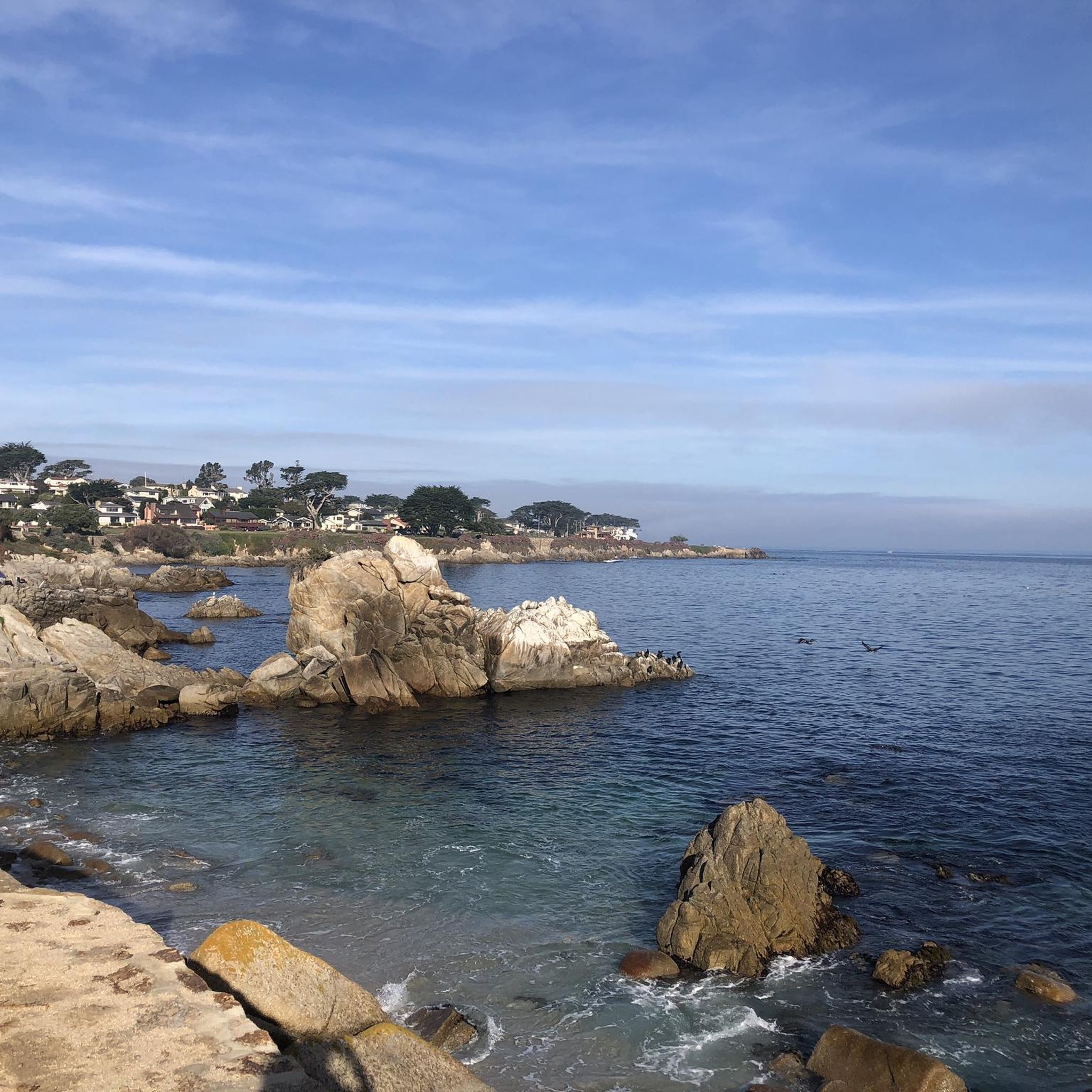
China Rock, located on 17-Mile Drive, offers bikers a scenic view of the Pacific Ocean. Once home to a small Chinese fishing village in the late 1800s, it is now a peaceful spot to enjoy the rocky coastline. Situated near Point Joe and Bird Rock, China Rock is a great place to stretch your legs, breathe in the ocean air, and appreciate the area's historical significance as well as the natural beauty.
0
0

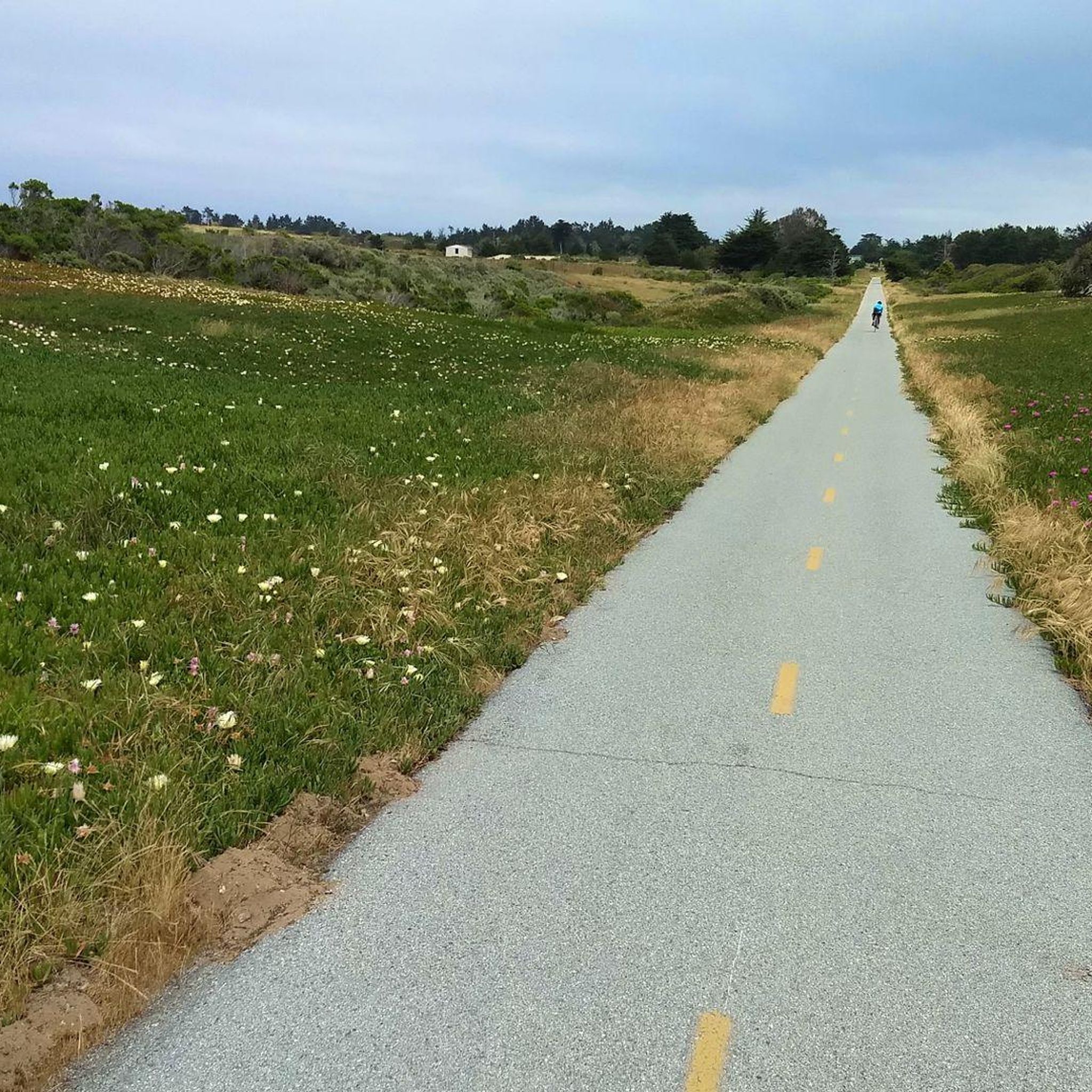
The Monterey Bay Coastal Recreation Trail is a 19-mile-long trail that hugs the coast from Castroville to Monterey Bay. This section is a beautiful stretch near Sand City and gives you wonderful views of the water. The trail is paved and is popular with cyclists and walkers.
2
0

Very nice little museum It's definitely worth a visit
1
0
Frequently Asked Questions
How many touring cycling routes are available in Fort Ord Dunes State Park?
There are over 70 touring cycling routes available in Fort Ord Dunes State Park, offering a wide range of options for different skill levels and preferences. These routes are highly rated by the komoot community, with an average score of 4.9 stars.
What kind of terrain can I expect on the touring cycling routes in Fort Ord Dunes State Park?
The terrain primarily features scenic coastal landscapes, rolling dunes, and accessible trails along Monterey Bay. Many routes utilize a dedicated 4-mile road within the park and connect to the wider, paved Monterey Bay Coastal Trail, offering smooth surfaces suitable for touring bikes. You'll experience a mix of flat coastal paths and gentle inclines over the dunes.
Are there touring cycling routes suitable for beginners or families in Fort Ord Dunes State Park?
Yes, Fort Ord Dunes State Park offers many easy routes perfect for beginners and families. Approximately 29 of the available routes are rated as easy. A great option for a direct exploration of the park's coastal features is the Fort Ord Dunes State Park – Fort Ord Dunes State Park loop from Marina, which is an easy 6.7 miles (10.8 km) path.
What natural features or landmarks can I see while cycling in Fort Ord Dunes State Park?
While cycling, you can enjoy stunning ocean views along four miles of pristine beach and observe the unique rolling dunes habitat, which is home to endangered species like the western snowy plover. There's also a bluff-top viewing platform offering panoramic views of Monterey Bay. Educational panels provide insights into the park's natural history and its former role as a U.S. Army base, with subtle remnants like old ammo storage bunkers tucked into the dunes.
What is the best time of year to go touring cycling in Fort Ord Dunes State Park?
The park offers pleasant cycling conditions year-round, but spring and fall generally provide the most comfortable temperatures and clearer skies. Summer can be popular, but also bring coastal fog, especially in the mornings. Winter is mild, though occasional rain showers can occur. Checking local weather forecasts before your ride is always recommended.
Are there any circular touring cycling routes in Fort Ord Dunes State Park?
Yes, there are several circular routes available. For example, the Fort Ord Dunes State Park – Fort Ord Dunes State Park loop from Marina offers an easy loop within the park. For a longer option, the Gigling Road gate – Eucalyptus Road Open Space loop from Fort Ord Dunes State Park provides an 11.3 miles (18.1 km) trail through varied terrain.
Is public transportation available to Fort Ord Dunes State Park?
While the guide data doesn't specify direct public transport routes to the park entrance, the Monterey-Salinas Transit (MST) system serves the wider Monterey Bay area. It's advisable to check the MST website for current routes and schedules that might connect to the vicinity of Fort Ord Dunes State Park.
Where can I park my car when visiting Fort Ord Dunes State Park for cycling?
Fort Ord Dunes State Park has a main parking area available for visitors. This parking area is conveniently located near the boardwalk and viewing platform, providing easy access to the park's cycling trails and amenities.
Are dogs allowed on the touring cycling trails in Fort Ord Dunes State Park?
While the park is generally dog-friendly, specific rules apply to protect the sensitive dune habitat and endangered species like the western snowy plover. Dogs are typically allowed on leash in designated areas, but may be restricted from certain trails or beach sections. It's best to check the official California State Parks website (parks.ca.gov) for the most current pet regulations before your visit.
Are there any cafes or places to eat near Fort Ord Dunes State Park?
The immediate vicinity of Fort Ord Dunes State Park is primarily natural landscape. However, the park is located near the cities of Marina and Sand City, which offer various dining options. You can find cafes and restaurants a short ride or drive away in these nearby communities.
What are some longer touring cycling routes accessible from Fort Ord Dunes State Park?
For longer rides, the Monterey Bay Coastal Trail is easily accessible from the park and offers extensive, traffic-free cycling. A notable longer route is the Monterey Bay Coastal Trail and 17-Mile Drive Loop, a 32.5 miles (52.3 km) trail that provides diverse coastal and scenic views. Another option is the Del Monte – Monterey State Beach loop from Castroville, which covers approximately 50 kilometers.
Do I need any special permits for cycling in Fort Ord Dunes State Park?
Generally, no special permits are required for recreational cycling on the designated trails within Fort Ord Dunes State Park. However, it's always a good practice to check the official California State Parks website (parks.ca.gov) for any updated regulations or specific requirements before your visit.
Most popular routes in Fort Ord Dunes State Park

Get inspired with the komoot mobile app


Explore more
Browse the best Cycling routes in other regions.
