The best MTB trails in Sand To Snow National Monument
4.8
(11)
234
riders
15
rides
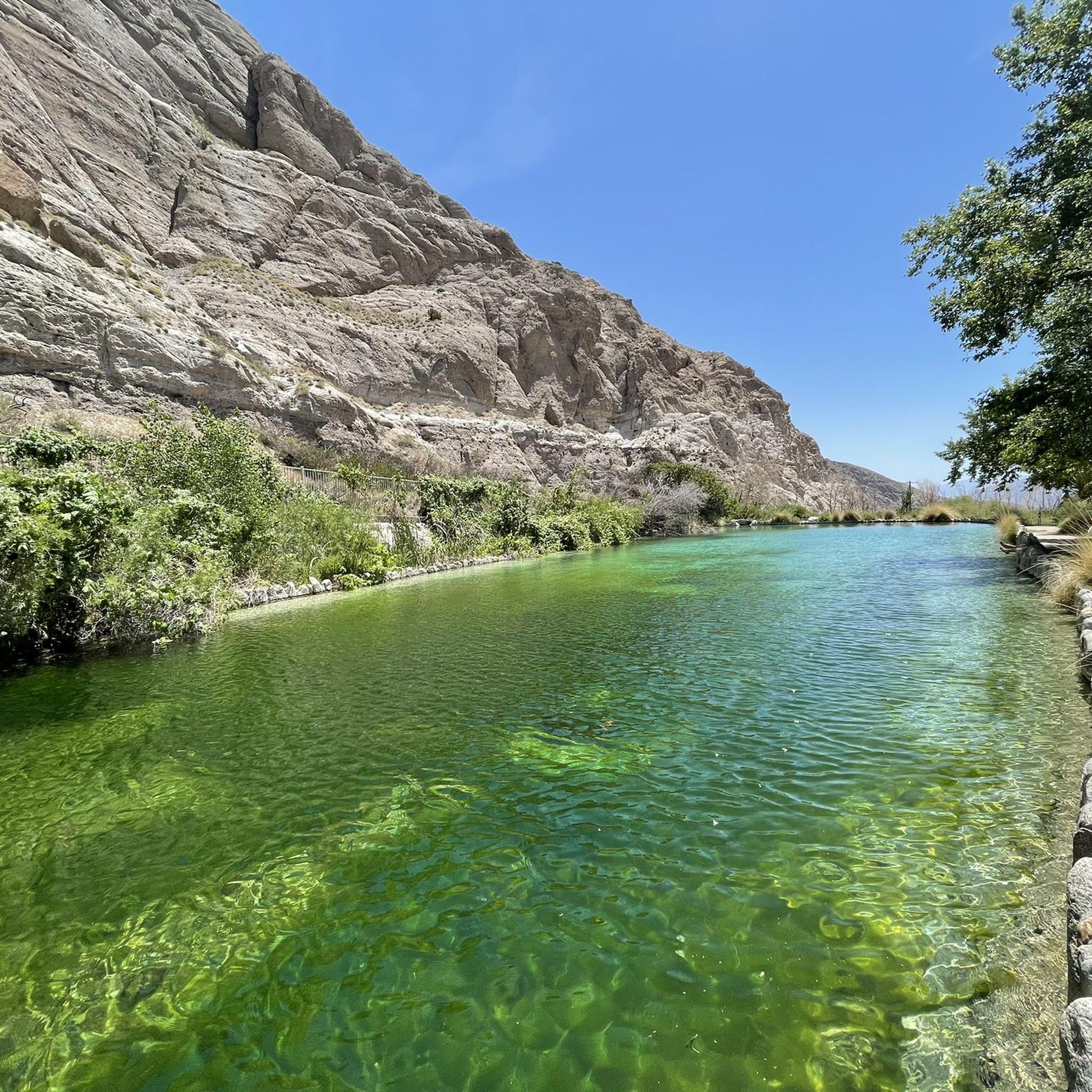
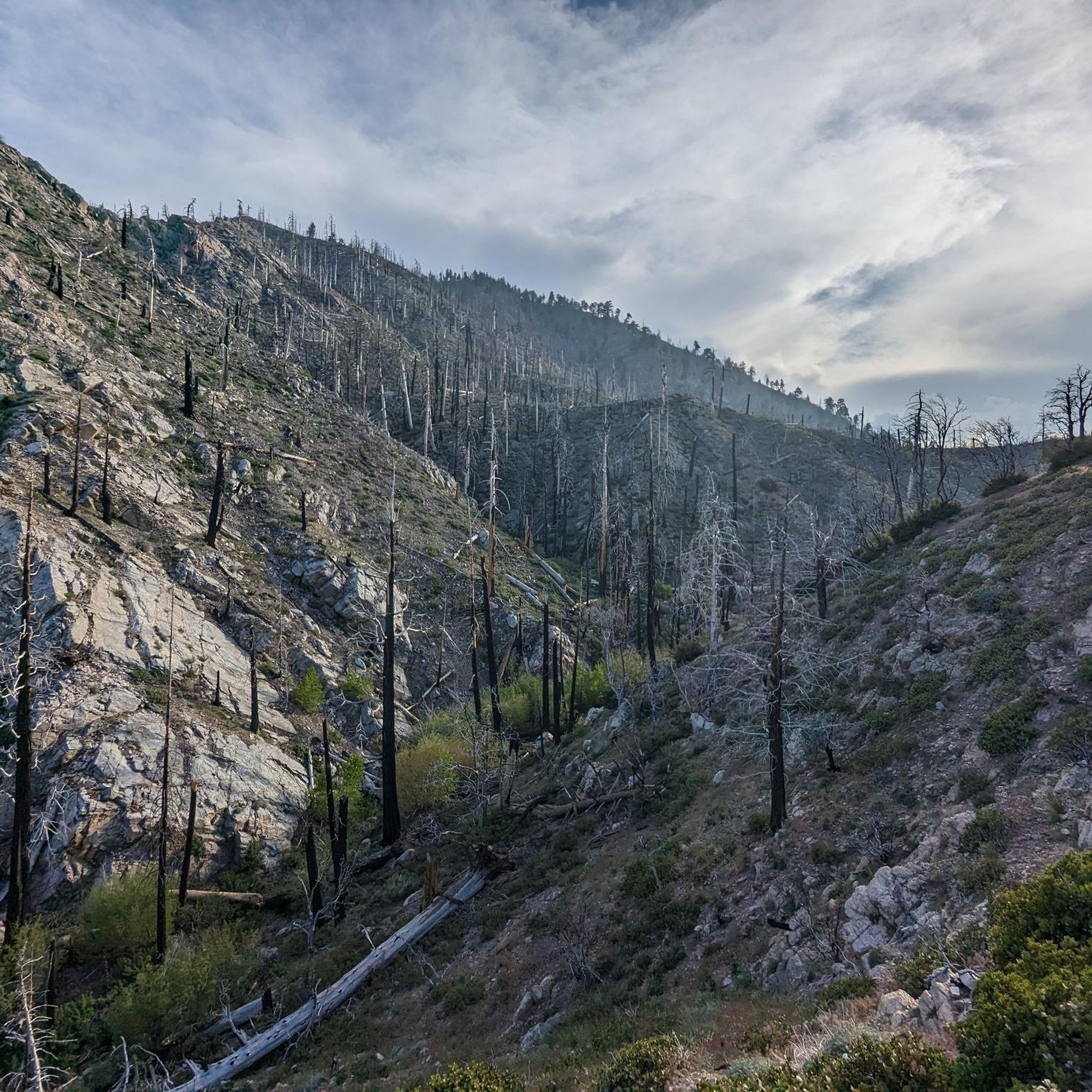
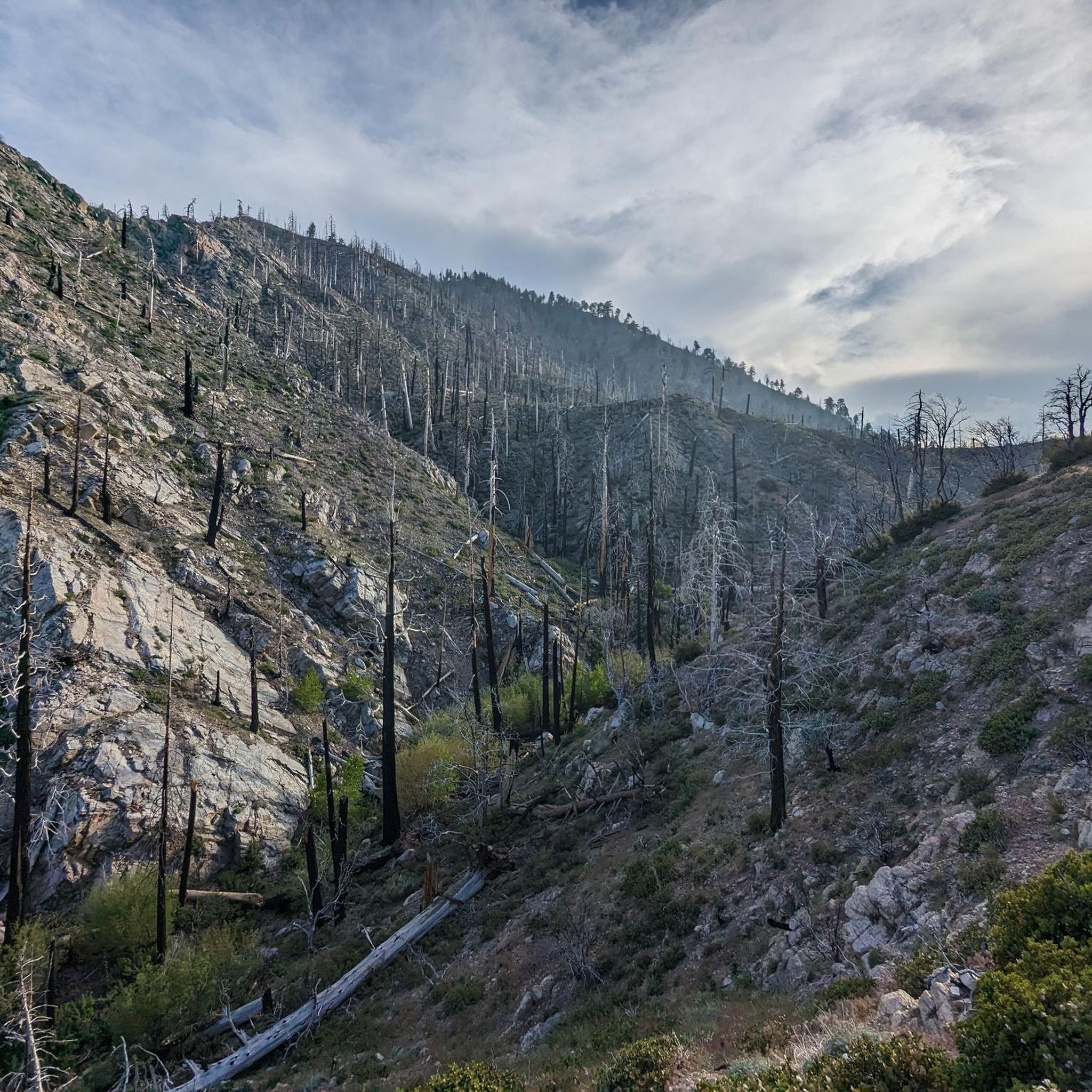
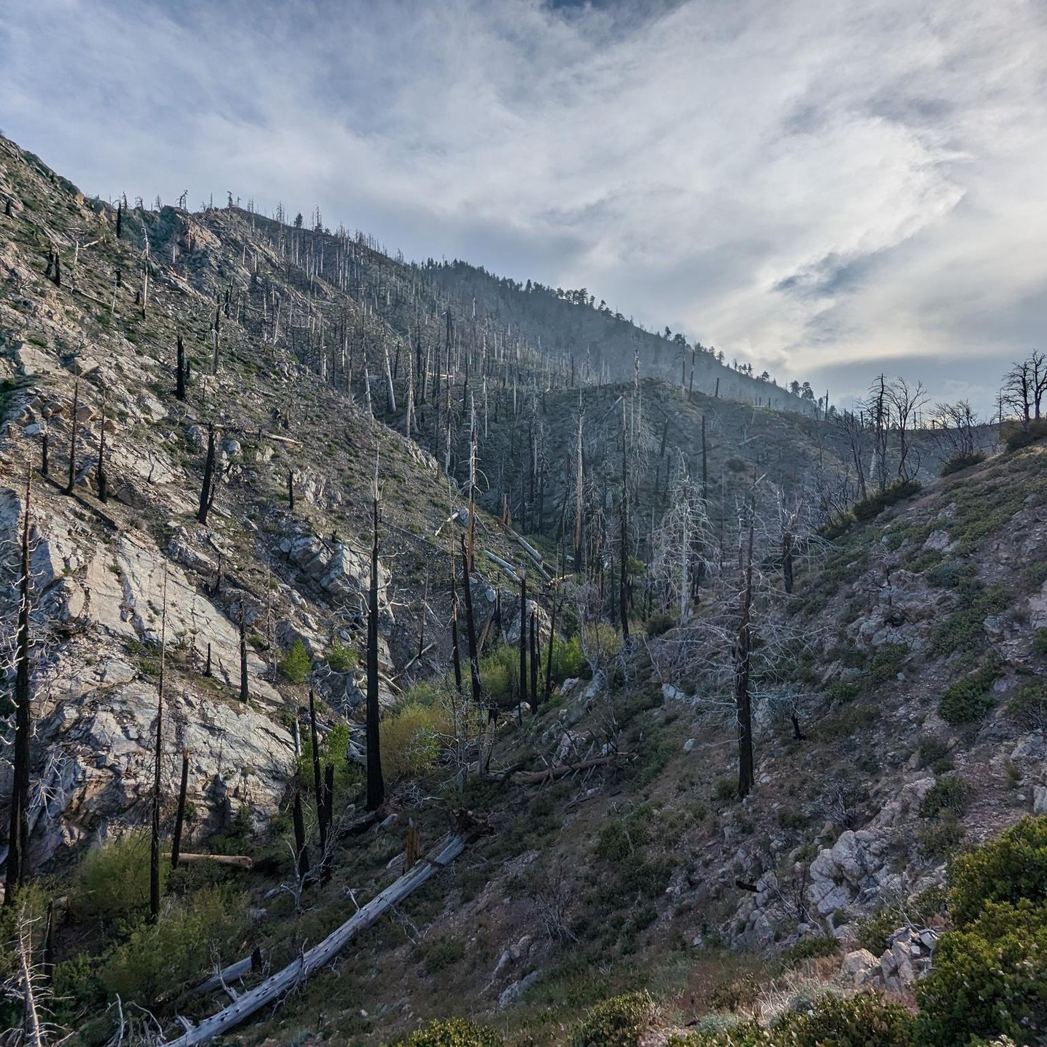
Mountain biking in Sand To Snow National Monument offers diverse terrain across a unique landscape where three distinct ecosystems converge. The monument features dramatic elevation changes, from desert washes to mountainous areas, including the base of San Gorgonio Mountain. Riders can explore varied environments, from riparian forests along the Whitewater River to chaparral and alpine conifer forests at higher elevations. The extensive network of permitted roads and trails outside of designated wilderness areas provides a range of experiences for mountain…
Last updated: July 13, 2026
1
riders
28.9km
03:08
1,020m
690m
Hard mountain bike ride. Very good fitness required. Advanced riding skills necessary.
4
riders
33.3km
03:37
1,090m
1,090m
Hard mountain bike ride. Very good fitness required. Advanced riding skills necessary.

Sign up for free

21.2km
01:58
350m
480m
Moderate mountain bike ride. Good fitness required. Suitable for all skill levels.
8
riders
31.3km
03:19
1,020m
1,020m
Hard mountain bike ride. Very good fitness required. Suitable for all skill levels.
1
riders
24.0km
02:30
790m
790m
Moderate mountain bike ride. Good fitness required. Advanced riding skills necessary.
Get access to more routes and recommendations from other explorers.
Sign up for free
Already have an account?
Our route recommendations are based on thousands of hikes, rides, and runs completed by other people on komoot.
Start today with a free account
Your next adventure awaits.
Login or Signup
Tips from the Community

From here you can take Clark's Grade down the mountain toward Clark's Ranch Yellow Post Site or head over to Bellyache Springs. The views are great from the summit and from the road, which is popular for mountain biking, hiking, and off-roading.
0
0
The viewpoint from this part of the trail is fantastic, and the trees are perfect for setting up a hammock. The trail north of here is nice, scenic singletrack.
0
0
If you are headed from or toward the Santa Ana Trail, this is a great spot to check out. The falls usually get a fair amount of water flow and make for a pretty stop.
0
0
From here you can hike the Santa Ana trail east towards South Fork. This hike can be done as a loop, a multi-day hike, or a point-to-point with a shuttle ride. The trail has a number of camps along the way and is also a popular mountain biking route. The trail is shady and peaceful. The path east of here is quite flat which makes the trail enjoyable even in the hot summer.
0
0
The picnic area is a popular trailhead for hiking up to Skyline Ridge and Grand View Point. You can get to the Cabin 89 Trail and Pine Knot Trails from here. There are bathrooms and picnic tables at the parking lot. You may need to pick up a $5 pass to park in the national forest.
0
0

A steep gravel road that leads to the Morton Peak Fire Lookout and to the final part of the Santa Ana River Trail (SART – Morton Peak Section).
2
0
Don't miss out on the tremendous views from the top of Morton Peak. When the fire lookout is manned, it might be possible that the staff invites you to come inside.
2
0
This trail leads to Angelus Oaks where you can turn onto the Santa Ana River Trail. Both trails combined will make a fantastic 20-mile loop that is technically challenging and offers wonderful views.
2
0
Frequently Asked Questions
How many mountain bike trails are available in Sand To Snow National Monument?
There are 15 mountain bike routes available in Sand To Snow National Monument, offering a range of experiences from moderate to difficult. These trails are highly rated by the komoot community, with an average score of 4.7 stars.
What kind of terrain and elevation changes can I expect on mountain bike trails in Sand To Snow National Monument?
You can expect a highly diverse landscape with dramatic elevation changes. Trails range from desert washes and riparian forests along the Whitewater River to chaparral and alpine conifer forests at higher elevations. Routes like Clark's Grade to Big Bear feature significant climbs, gaining over 1000 meters in elevation.
Are there any family-friendly mountain bike trails in Sand To Snow National Monument?
While many trails in the monument are rated moderate to difficult, there are options suitable for families. It's best to check individual route descriptions on komoot for specific difficulty ratings and terrain details to ensure they match your family's skill level. The monument's diverse landscape means some areas will be more accessible than others.
What are the rules for mountain biking in Sand To Snow National Monument?
Mountain biking is permitted on designated routes, which include forest roads, jeep trails, OHV (Off-Highway Vehicle) trails, and hiking trails located outside of designated Wilderness Areas. It is generally prohibited within designated Wilderness Areas, on the Pacific Crest Trail, and on short nature trails. Always respect signage and stay on marked trails.
What is the best time of year to go mountain biking in Sand To Snow National Monument?
The monument experiences a wide range of climates due to its elevation changes. Lower desert areas can be very hot in summer, while higher elevations may have snow in winter. Spring and fall generally offer the most pleasant temperatures for mountain biking across the monument's diverse ecosystems. Always check local weather conditions before heading out.
Are there any loop mountain bike trails in the monument?
Yes, there are loop options available. For example, the Santa Ana River Trail loop (Post Office Section) is a challenging 20.7-mile route that offers a full loop experience along sections of the Santa Ana River.
What interesting natural features or landmarks can I see while mountain biking in Sand To Snow National Monument?
The monument is rich in natural beauty. You might encounter the Big Morongo Canyon Preserve, known for its wetlands and diverse birdlife, or cross the Whitewater River, an important oasis in the desert. The dramatic backdrop of Mount San Gorgonio Summit, the highest peak in Southern California, is also a prominent feature.
Are dogs allowed on mountain bike trails in Sand To Snow National Monument?
Regulations regarding dogs can vary within different sections of the monument, especially in designated Wilderness Areas or preserves. It's always best to check specific trail regulations or the rules of the managing agency (such as the BLM or Wildlands Conservancy) for the area you plan to visit to ensure dogs are permitted and if they need to be on a leash.
Where can I find parking for mountain biking trails in Sand To Snow National Monument?
Parking availability varies by trailhead. Many designated trailheads and access points, particularly those managed by the Wildlands Conservancy (like Whitewater Preserve) or along forest roads, offer parking. It is advisable to check the specific route details on komoot or official monument maps for parking information related to your chosen trail.
Are there any trails that feature waterfalls in the area?
While the monument is known for significant water sources like the Whitewater River and springs, specific mountain bike trails featuring prominent waterfalls are less common. However, the Santa Ana River Trail – Cold Creek Falls loop from Angelus Oaks is a moderate route that includes Cold Creek Falls, offering a chance to experience this natural water feature.
What do other mountain bikers enjoy most about mountain biking in Sand To Snow National Monument?
The area is highly rated by the komoot community, with an average score of 4.7 stars. Reviewers often praise the unique blend of desert and mountain ecosystems, the challenging climbs, and the sense of adventure offered by the diverse terrain. The opportunity to ride through varied environments, from riparian areas to higher elevation forests, is a frequently highlighted aspect.
Can I access mountain bike trails in the monument using public transport?
Access to mountain bike trails within Sand To Snow National Monument primarily relies on personal vehicles, as public transport options directly serving trailheads are limited. The monument covers a vast and rugged area, making car access the most practical way to reach most mountain biking routes.
Most popular routes in Sand To Snow National Monument
Most popular attractions in Sand To Snow National Monument

Get inspired with the komoot mobile app


Explore more
Browse the best MTB trails in other regions.
