The best road cycling routes in O'Neill Regional Park
4.5
(22)
647
riders
40
rides
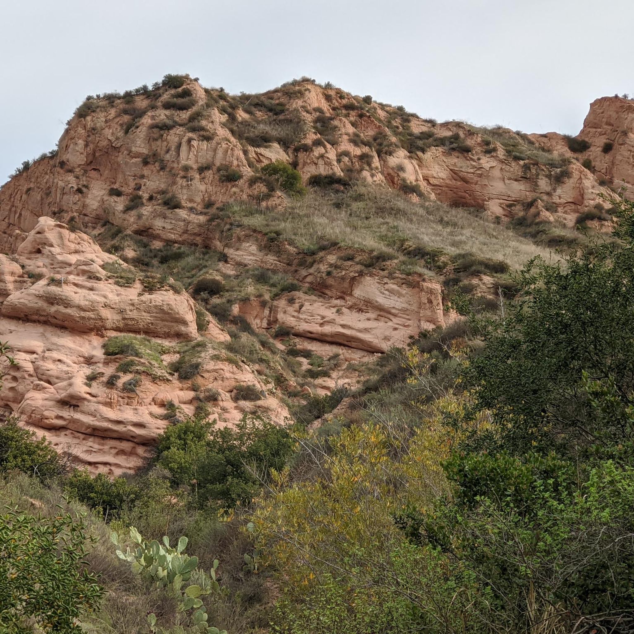
Road cycling routes in O'Neill Regional Park traverse a landscape characterized by wooded canyons and rolling hillsides in Orange County, California. The park features dense groves of coast live oak and sycamore trees, providing shaded sections along many routes. Cyclists can find routes with mostly paved surfaces, including the main road through the campsite, which offers a smooth riding experience. The terrain includes varied elevation gains, from gentle slopes to more challenging ascents.
Best road cycling routes in O'Neill Regional…
Last updated: August 26, 2026
4
riders
Hard road ride. Very good fitness required. Mostly well-paved surfaces and easy to ride.
5.0
(1)
50
riders
78.6km
03:34
660m
660m
Moderate road ride. Good fitness required. Mostly well-paved surfaces and easy to ride.

Sign up for free
9
riders
40.1km
02:08
750m
750m
Moderate road ride. Good fitness required. Mostly well-paved surfaces and easy to ride.
5
riders
Moderate road ride. Good fitness required. Mostly well-paved surfaces and easy to ride.
4.5
(4)
8
riders
16.4km
00:44
150m
150m
Easy road ride. Great for any fitness level. Mostly well-paved surfaces and easy to ride.
Get access to more routes and recommendations from other explorers.
Sign up for free
Already have an account?
Our route recommendations are based on thousands of hikes, rides, and runs completed by other people on komoot.
Start today with a free account
Your next adventure awaits.
Login or Signup
Tips from the Community

You can explore a variety of singletrack and wide gravel paths through the park. Some trails are shaded while others take you out above the canyon with vistas of Orange County. There are restrooms, picnic tables, and camping available. The park charges a $3 fee.
0
0

Santiago Canyon Road is a scenic favorite for road cyclists in Orange County. It’s a long, winding stretch with rolling hills, light traffic, and wide shoulders in most parts. The views of open hills and oak trees make the climb worth it, and you’ll find classic stops along the way for a break.
0
0
Cook’s Corner is a classic stop for cyclists riding through Santiago Canyon and one of the most popular biker hangouts in Southern California. It’s casual and bike-friendly, with shaded picnic tables and plenty of space to park. Grab a burger or a cold drink, rest your legs, and soak in the lively atmosphere—especially on weekends when it’s packed with motorcycles and live music.
0
0

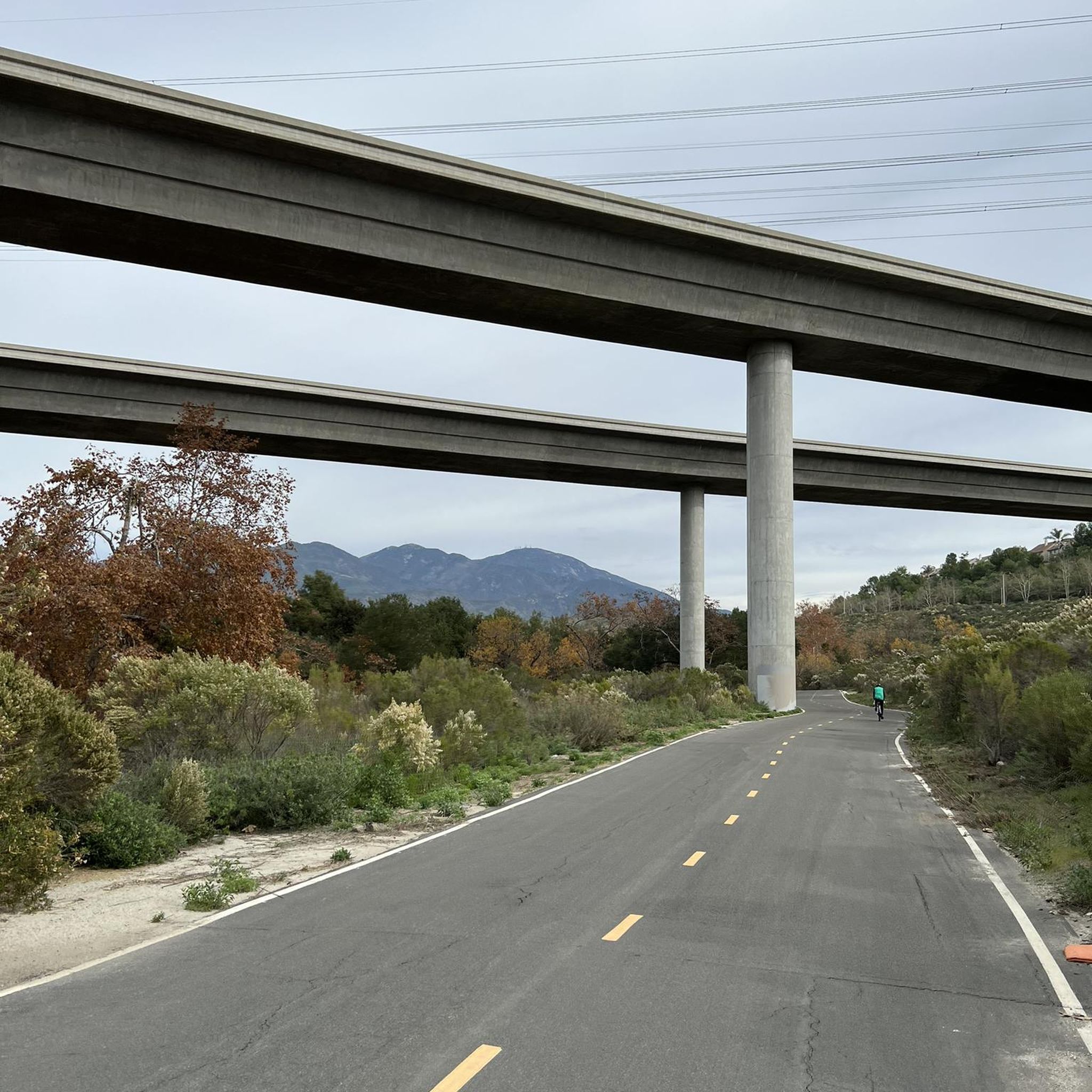
The Aliso Creek Trail goes from South Laguna to Rancho Santa Margarita. It is an 18.5-mile multi use trail corridor that goes through a number of parks on the way. There are plenty of rest areas on the way for you. Starting shoreside, the trail goes gradually uphill, but it will be a fun trip on the way back.
0
0

Overlooking picturesque Dana Point Harbor, Lantern Bay Park offers expansive green space with plenty of pine trees for shade, perfect for a relaxing outdoor escape. With amenities including a playground, bocce ball court, and public restrooms, the sprawling park also hosts a donation-based morning yoga class, daily at 10am.
0
0
The Trabuco Creek Trail converges with the San Juan Creek Trail at Descanso Park and crosses to the west side of the river via a bridge. All of the creek trails are two lane paved paths.
0
0
Beach access is cut off to the south by beachfront properties, but along the water to the north there is a great route that offers fantastic views of the Pacific Ocean as you make your way up to Dana Point.
0
0
Aliso Creek Bikeway offers a scenic 19-mile trail in Orange County, California, winding through lush landscapes, parks, and residential areas. Popular for cycling and walking, it provides a serene outdoor experience.
0
0
Frequently Asked Questions
How many road cycling routes are available in O'Neill Regional Park?
O'Neill Regional Park offers over 35 road cycling routes. These routes cater to various skill levels, with 6 easy routes, 29 moderate routes, and 2 more challenging options for experienced cyclists.
What kind of terrain can I expect on road cycling routes in O'Neill Regional Park?
Road cycling routes in O'Neill Regional Park feature a diverse landscape of wooded canyons and rolling hillsides. You'll find sections with dense groves of coast live oak and sycamore trees providing shade, as well as open areas with chaparral and wildflowers. Many routes offer mostly paved surfaces, including the main road through the campsite, ensuring a smooth ride. The terrain includes varied elevation gains, from gentle slopes to more significant ascents.
Are there any easy or family-friendly road cycling routes in O'Neill Regional Park?
Yes, O'Neill Regional Park has several easy road cycling routes suitable for families or those seeking a more relaxed ride. One such option is the O'Neill Regional Park loop from Trabuco Canyon, which covers 16.3 km with moderate elevation gain, making it accessible for various fitness levels.
What do other road cyclists enjoy most about road cycling in O'Neill Regional Park?
The area is highly rated by the komoot community, with an average score of 4.7 stars from over 10 reviews. Reviewers often praise the park's varied terrain, the scenic beauty of its wooded canyons and rolling hills, and the availability of paved surfaces that make for enjoyable road cycling. The connectivity to regional bikeways is also a frequently highlighted feature.
Are there any viewpoints or scenic spots along the road cycling routes?
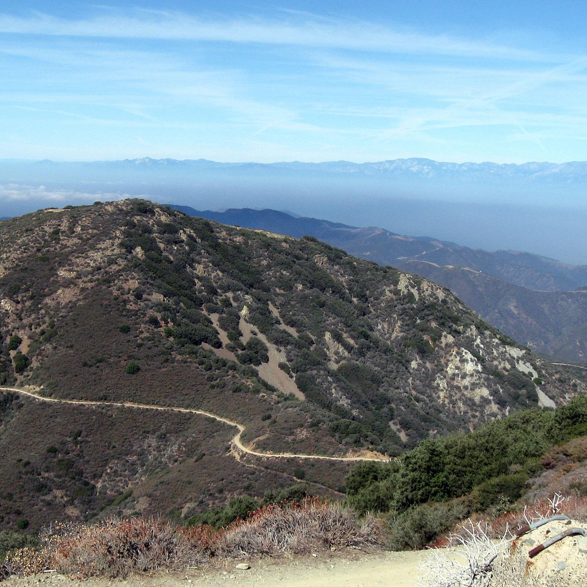
Yes, several routes in O'Neill Regional Park lead to vantage points offering sweeping panoramic views. Vista Point, for example, provides stunning vistas of Portola Hills, Upper Oso Reservoir, Santiago Peak, and the surrounding Orange County landscape and coastal mountain ranges. The natural beauty of the park, with its oak and sycamore groves, also offers picturesque scenery throughout your ride.
Are there any loop road cycling routes in O'Neill Regional Park?
Yes, O'Neill Regional Park features several loop routes for road cyclists. Options range from moderate rides like the O'Neill Regional Park loop from Trabuco Canyon to longer, more challenging loops such as the Laguna Niguel Lake – View of Treasure Island Park loop from Rancho Santa Margarita, which offers extensive riding through varied Orange County landscapes.
What is the best season for road biking in O'Neill Regional Park?
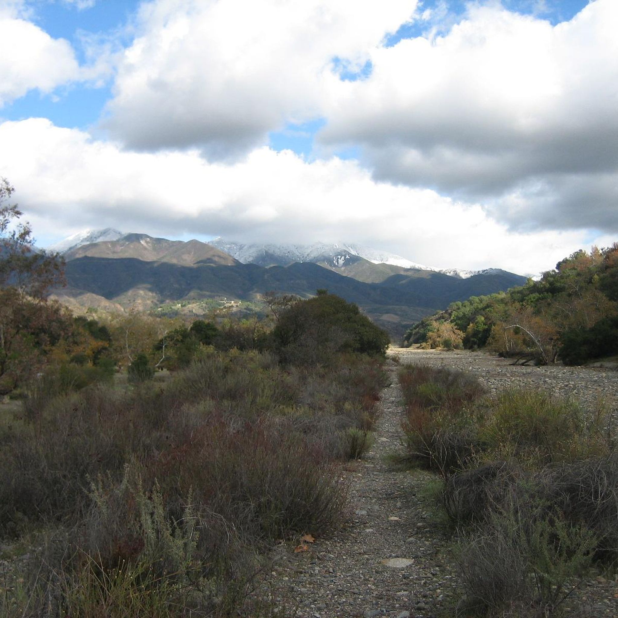
O'Neill Regional Park is a beautiful destination year-round. Springtime brings spectacular wildflower blooms, and the fall foliage presents vibrant hues. Seasonal Trabuco and Hickey Creeks flow in winter and early spring, adding to the scenery. The dense groves of coast live oak and sycamore trees provide significant shade, making rides pleasant even on warmer days. Generally, spring and fall offer the most comfortable temperatures for cycling.
Is public transport available to O'Neill Regional Park?
While O'Neill Regional Park is primarily accessed by car, local bus services may operate routes that pass near the park's vicinity. However, direct public transport options into the park itself are limited. It's advisable to check Orange County Transportation Authority (OCTA) schedules for the most current information on routes serving the area surrounding the park.
Where can I park my car when visiting O'Neill Regional Park for road cycling?
O'Neill Regional Park offers designated parking areas for visitors. You can typically find parking at the main entrance or near various trailheads within the park. Specific parking availability might vary, so it's recommended to check the park's official website for detailed information on parking locations and any associated fees before your visit.
Are there any cafes or places to eat near O'Neill Regional Park?
O'Neill Regional Park itself offers picnic areas, but for cafes and restaurants, you'll find options in the nearby communities. Rancho Santa Margarita, Trabuco Canyon, and other surrounding towns provide a variety of dining choices, from casual cafes to more formal restaurants, just a short drive from the park.
Can I bring my dog on the road cycling trails in O'Neill Regional Park?
O'Neill Regional Park generally allows dogs on leash in designated areas, including some trails. However, specific rules regarding dogs on cycling trails can vary. It's always best to check the official O'Neill Regional Park regulations or signage at trailheads to confirm which routes are dog-friendly for cyclists.
What are some of the longer road cycling routes available?
For those seeking longer rides, the Laguna Niguel Lake – View of Treasure Island Park loop from Rancho Santa Margarita is a substantial 78.8 km route. Another excellent option is the Aliso Creek Bikeway – Hicks Canyon Trail loop from Rancho Santa Margarita, covering 61.3 km and connecting various regional bikeways for a diverse cycling experience.
What should I bring for a road cycling trip in O'Neill Regional Park?
When road cycling in O'Neill Regional Park, it's advisable to bring plenty of water, especially on longer routes or warmer days. Sunscreen, a helmet, and appropriate cycling attire are essential. Given the presence of wildlife like rattlesnakes and poison oak, staying on marked paths and being aware of your surroundings is important. A basic bike repair kit and a fully charged phone are also recommended.
Most popular routes in O'Neill Regional Park

Get inspired with the komoot mobile app


Explore more
Browse the best Road cycling routes in other regions.
