The best walks and hikes around Innernzell
4.1
(47)
154
hikers
28
hikes
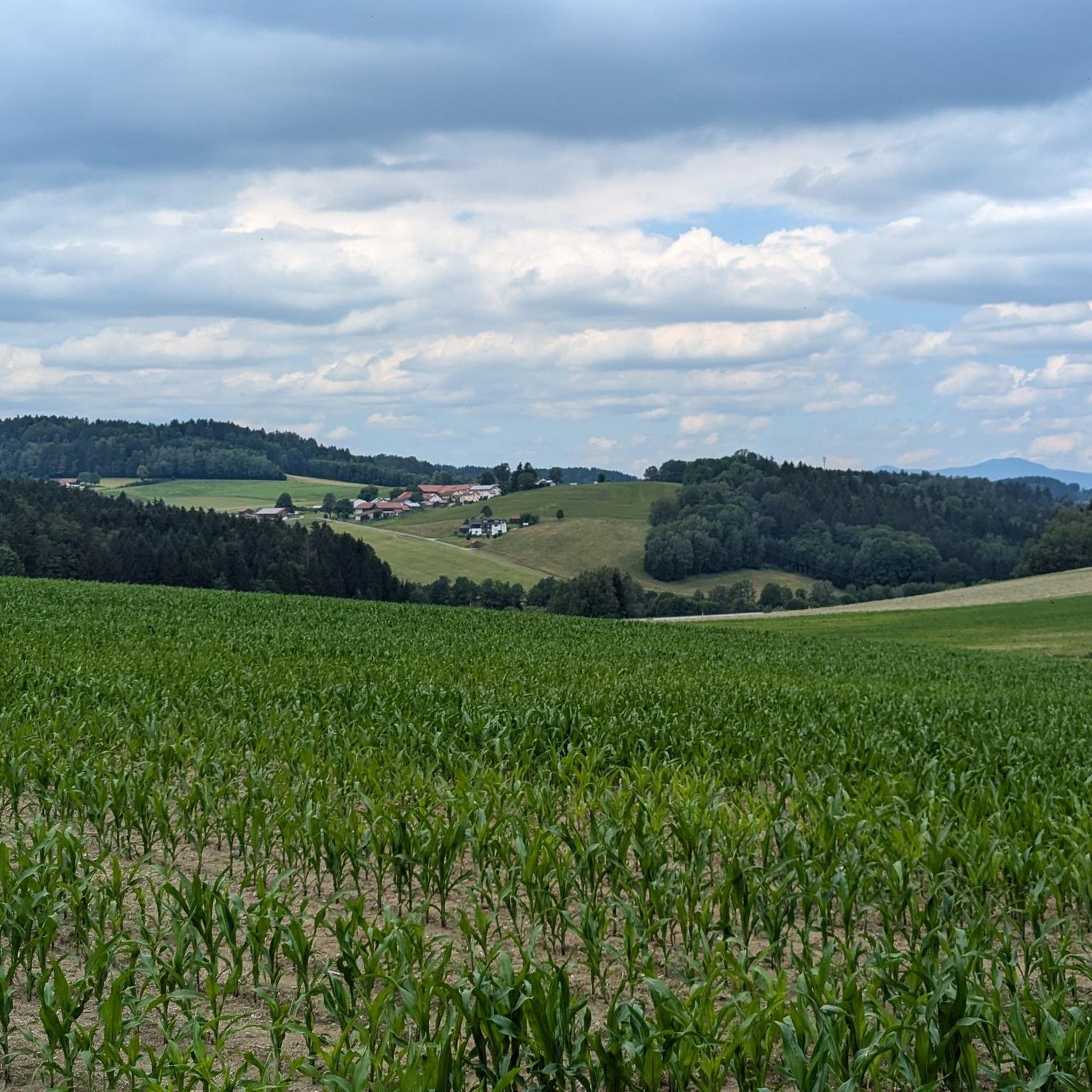
Hiking trails around Innernzell are set within the Bavarian Forest, characterized by diverse landscapes including hills, dense forests, and river valleys. The region features prominent natural landmarks such as the Brotjacklriegel mountain, which offers panoramic views, and the scenic Steinklamm Gorge along the Große Ohe river. Hikers can explore varied terrain, from gentle riverside paths to more challenging ascents. The area also includes the Großarmschlag Reservoir, providing tranquil resting spots amidst the woodlands.
Best hiking trails around Innernzell
- The most…
Last updated: June 27, 2026
4.3
(4)
11
hikers
Easy hike. Great for any fitness level. Easily-accessible paths. Suitable for all skill levels.
4.3
(3)
11
hikers
4.20km
01:09
60m
60m
Easy hike. Great for any fitness level. Easily-accessible paths. Suitable for all skill levels.

Sign up for free
4.5
(4)
17
hikers
5.28km
01:27
80m
80m
Easy hike. Great for any fitness level. Easily-accessible paths. Suitable for all skill levels.
3.0
(1)
13
hikers
2.71km
00:48
80m
80m
Easy hike. Great for any fitness level. Easily-accessible paths. Suitable for all skill levels.
4.5
(4)
8
hikers
14.4km
04:07
330m
330m
Moderate hike. Good fitness required. Easily-accessible paths. Suitable for all skill levels.
Get access to more routes and recommendations from other explorers.
Sign up for free
Already have an account?
Our route recommendations are based on thousands of hikes, rides, and runs completed by other people on komoot.
Start today with a free account
Your next adventure awaits.
Login or Signup
Tips from the Community

Fantastic view, nice for hiking or also suitable for the MTB
0
0

On the way to or from Aschenstein you can sit down here again and enjoy the panorama.
0
0

Unfortunately no view. Just a rock with a little cross. Better the small Head for Aschenstein! There is a great view here.
0
0

There is nothing left of the abandoned village. There is only one information sign
1
0

What a huge tree, this lime tree, with a huge trunk diameter. Such an old tree is impressive 👍
1
0

Great view, the short detour from the Hammer single trail is worth it
4
0

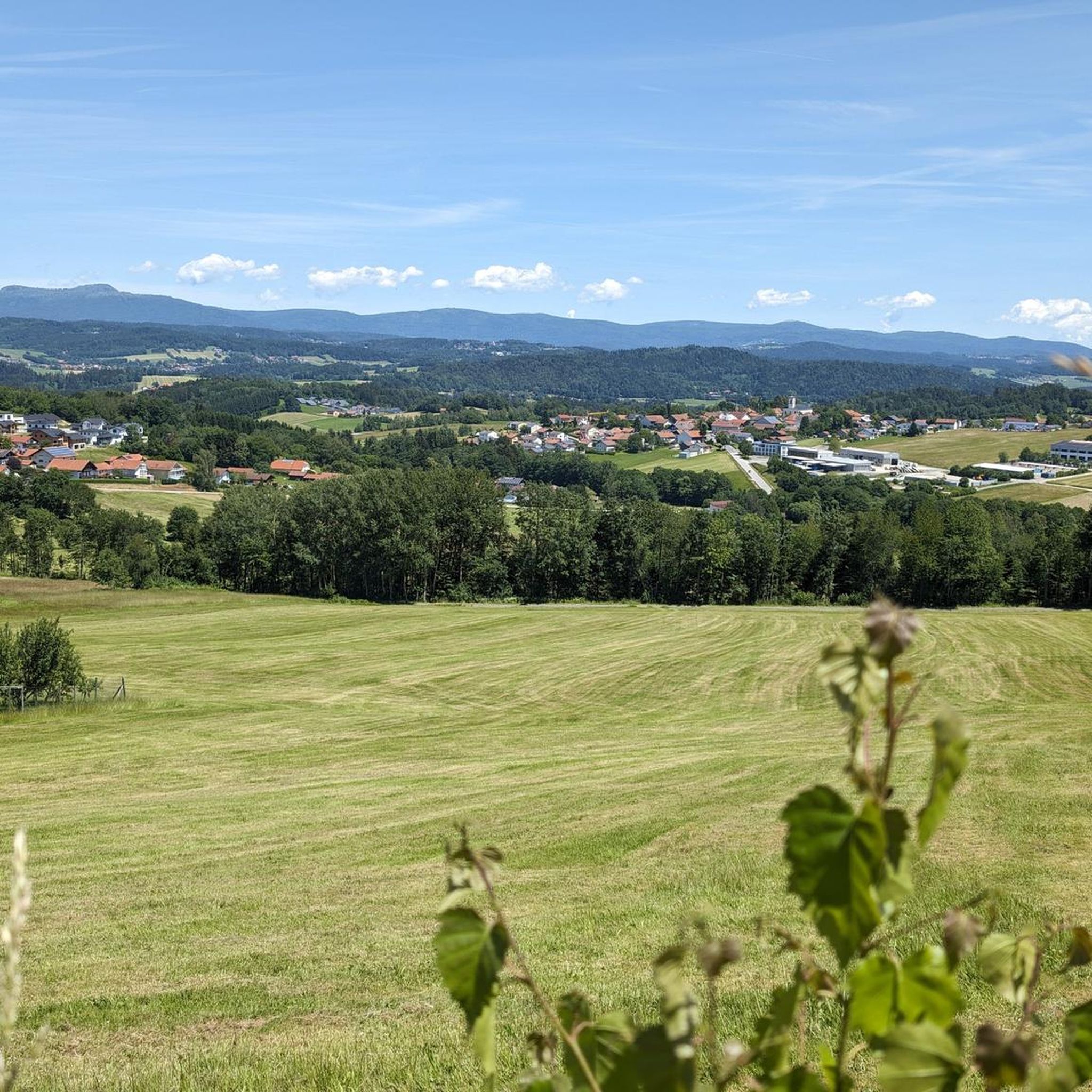
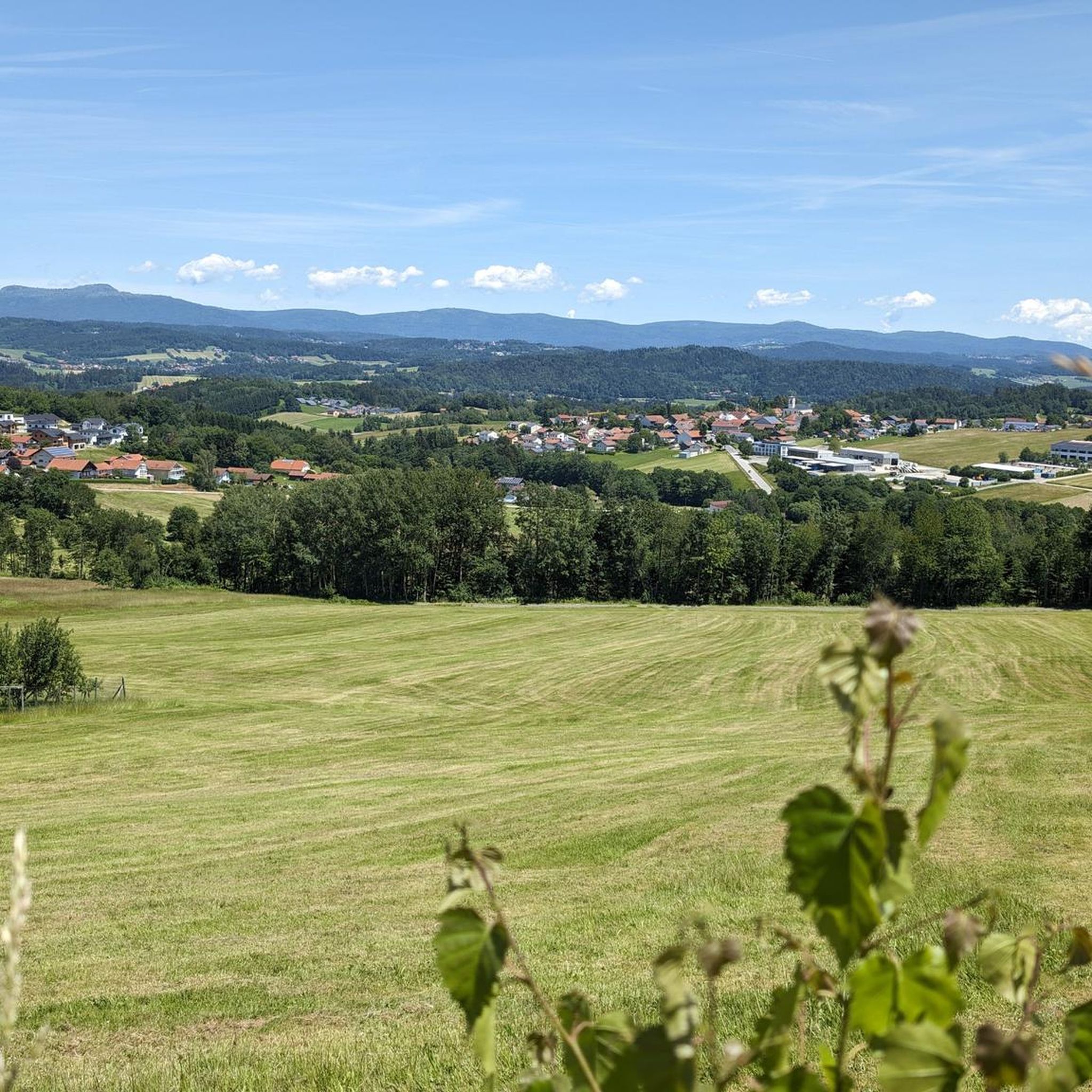
Very nice view over the front Bavarian Forest
4
0
Frequently Asked Questions
How many hiking trails are available around Innernzell?
Innernzell offers a comprehensive network of over 25 hiking routes, catering to various skill levels. You'll find everything from leisurely strolls to more challenging ascents within the diverse landscapes of the Bavarian Forest.
What kind of terrain can I expect on hikes around Innernzell?
The terrain around Innernzell is quite varied, featuring rolling hills, dense forests, and picturesque river valleys. You can expect paths ranging from gentle riverside walks to more strenuous mountain ascents, particularly around prominent peaks like Brotjacklriegel. Some paths, especially in gorges like Steinklamm, can be uneven or slippery when wet, so sturdy footwear is recommended.
Are there any notable landmarks or viewpoints to discover on hikes?
Absolutely! A highlight is the Brotjacklriegel Summit and Observation Tower, offering breathtaking panoramic views of the Bavarian-Bohemian Border Ridge and the Danube plain. Another significant natural feature is the Steinklamm Gorge on the Große Ohe River, known for its dramatic scenery. You might also encounter other summits like Wagensonnriegel or Großer Büchelstein.
Are there family-friendly hiking options in Innernzell?
Yes, Innernzell is well-suited for families. Many of the 18 easy routes are perfect for a relaxed outing with children. These trails often feature gentle elevation gains and scenic surroundings. For example, the Viewpoint Kleiner Aschenstein loop from Bärndorf is an easy option that offers pleasant views without being too demanding.
Are dogs allowed on the hiking trails in Innernzell?
Generally, dogs are welcome on the hiking trails around Innernzell. It's always advisable to keep your dog on a leash, especially in nature protection areas, near wildlife, or when encountering other hikers and livestock. Please ensure you clean up after your pet to maintain the natural beauty of the trails.
What do other hikers say about the trails in Innernzell?
The hiking routes in Innernzell are highly regarded by the komoot community, boasting an average rating of 4.2 stars from over 40 reviews. Hikers frequently praise the diverse landscapes, well-maintained paths, and the stunning viewpoints, particularly from the Brotjacklriegel.
Are there circular hiking routes available in Innernzell?
Yes, many of the trails around Innernzell are designed as circular routes, allowing you to start and end at the same point. This makes planning your hike convenient. For instance, the View from Kleiner Aschenstein – Kleiner Aschenstein Viewpoint loop from Innernzell is a moderate circular option that takes you through varied scenery.
Where can I find parking for hiking trails in Innernzell?
Parking is generally available at the starting points of many popular hiking trails and in the villages around Innernzell. Look for designated hiking car parks or public parking areas. It's often helpful to check the specific route details on komoot for parking suggestions near your chosen trailhead.
Is Innernzell accessible by public transport for hikers?
While Innernzell is primarily accessed by car, some regional bus services connect the villages in the Bavarian Forest. For specific routes and schedules, it's best to check local public transport websites, as services can be less frequent, especially outside of peak tourist seasons. Planning your route with public transport in mind might require some flexibility.
What is the best time of year to hike in Innernzell?
The best time to hike in Innernzell is typically from spring through autumn (April to October). During these months, the weather is generally mild, and the trails are clear. Spring brings lush greenery, while autumn offers vibrant fall foliage. Winter hiking is possible, but requires appropriate gear for snow and ice, and some trails might be less accessible.
Are there any challenging hikes for experienced trekkers?
While Innernzell is known for its many easy and moderate trails, there are options for more experienced hikers seeking a challenge. The region features one difficult route and nine moderate routes that include more significant elevation gains and longer distances. These trails often lead to higher summits and offer rewarding views.
Can I find any gorges or unique natural features on the trails?
Yes, the Steinklamm Gorge is a standout natural feature, offering a particularly scenic hiking experience along the Große Ohe river. The path through the gorge provides beautiful natural scenery, though it can be slippery when wet due to roots, making stable footwear advisable. The Steinklamm (Bavarian Forest Nature Park) is a must-see for nature lovers.
Most popular routes around Innernzell
Most popular attractions around Innernzell

Get inspired with the komoot mobile app


Explore more
Browse the best Hikes in other regions.
