The best road cycling routes in Barton Creek Wilderness Park
4.5
(82)
4,193
riders
131
rides
Road cycling in Barton Creek Wilderness Park offers diverse routes through a landscape characterized by rolling hills, limestone formations, and dense woodlands. The park's terrain includes both challenging ascents and more gradual paths alongside the creek. Road cyclists can expect a mix of open stretches and shaded sections, providing varied scenery throughout their rides.
Best road cycling routes in Barton Creek Wilderness Park
- The most popular road cycling route is Red Bud Isle – Pfluger Pedestrian Bridge loop from Westlake…
Last updated: October 19, 2026
5
riders
Easy road ride. Great for any fitness level. Mostly well-paved surfaces and easy to ride.
37
riders
43.8km
02:23
340m
340m
Moderate road ride. Good fitness required. Some segments of this route may be unpaved and difficult to ride.

9
riders
86.6km
04:28
950m
950m
Prepare for a demanding road cycling journey on the Pace Bend National Park loop from Barton Creek. This difficult route stretches for 53.8 miles (86.6 km), taking you through the…
24
riders
25.5km
01:14
130m
130m
Moderate road ride. Great for any fitness level. Some segments of this route may be unpaved and difficult to ride.
9
riders
Moderate road ride. Good fitness required. Some segments of this route may be unpaved and difficult to ride.
Get access to more routes and recommendations from other explorers.
Already have an account?
Our route recommendations are based on thousands of hikes, rides, and runs completed by other people on komoot.
Start today with a free account
Your next adventure awaits.
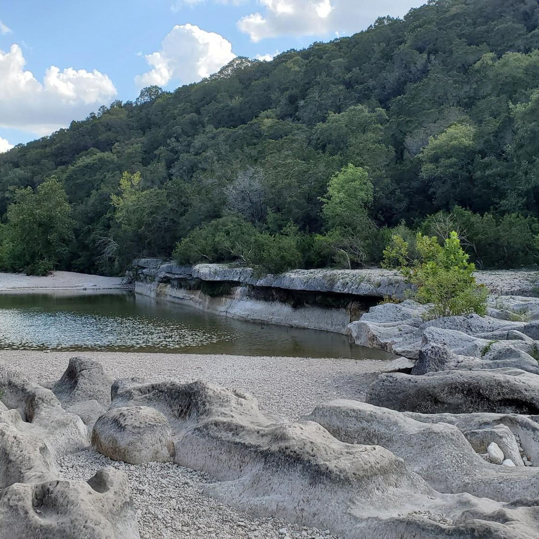
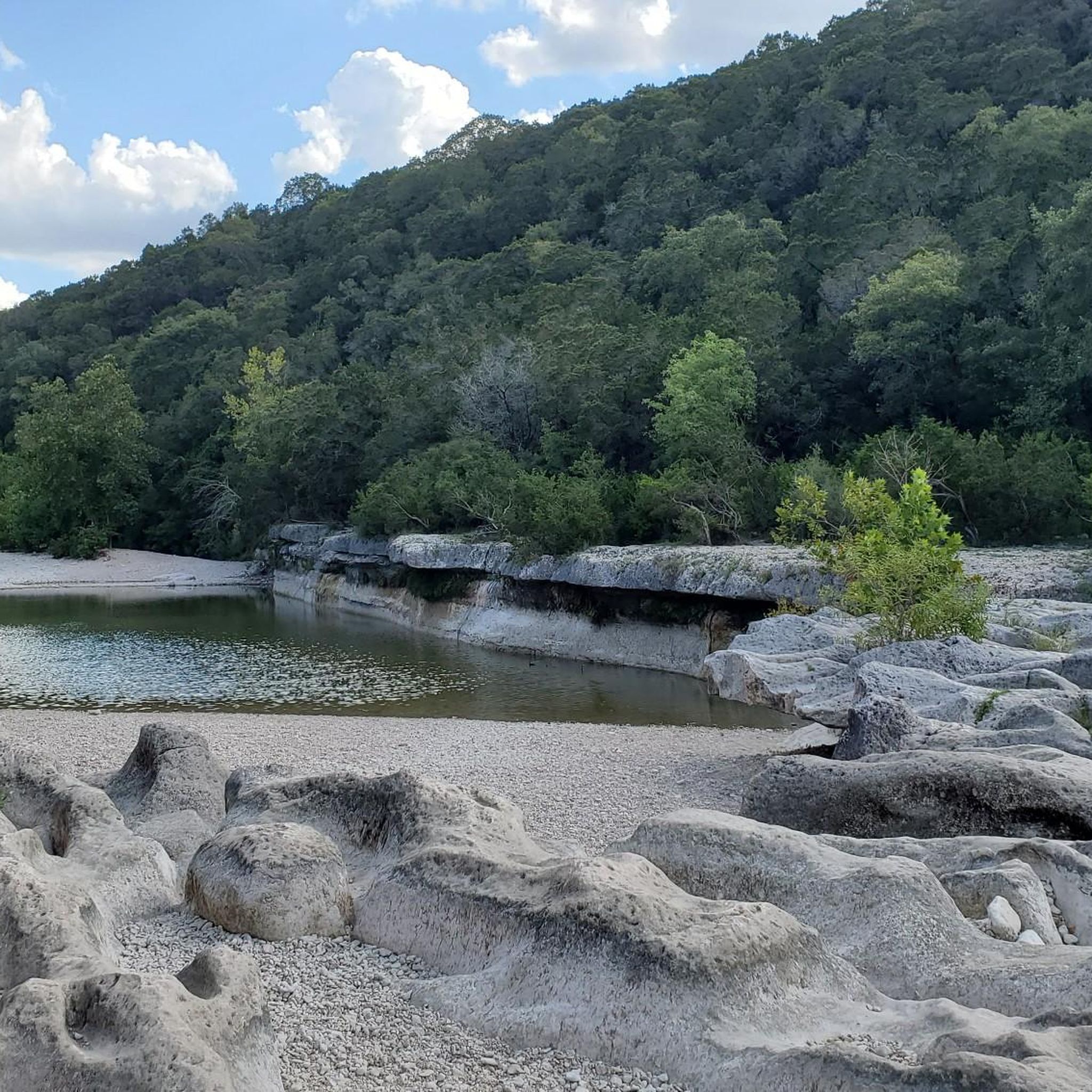
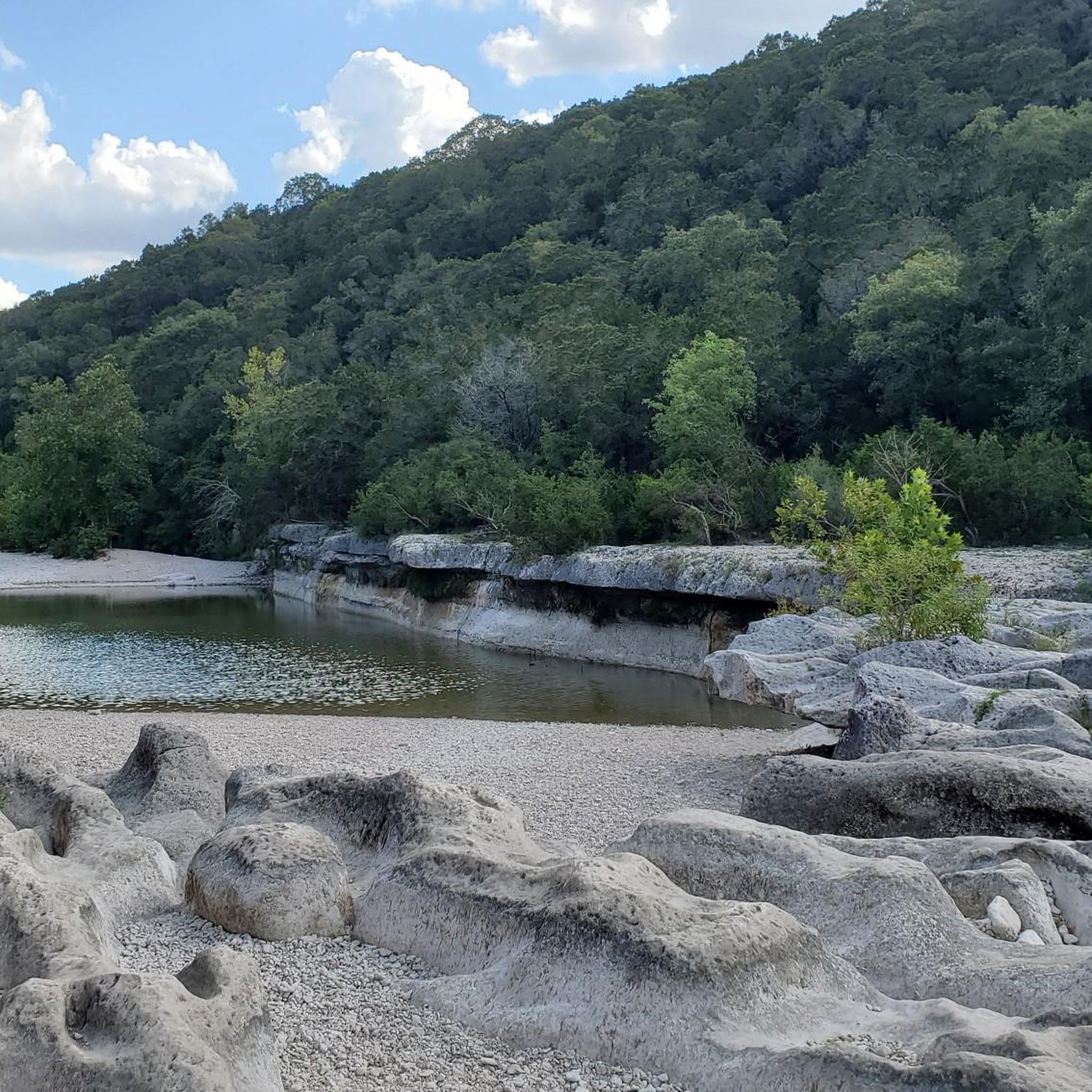
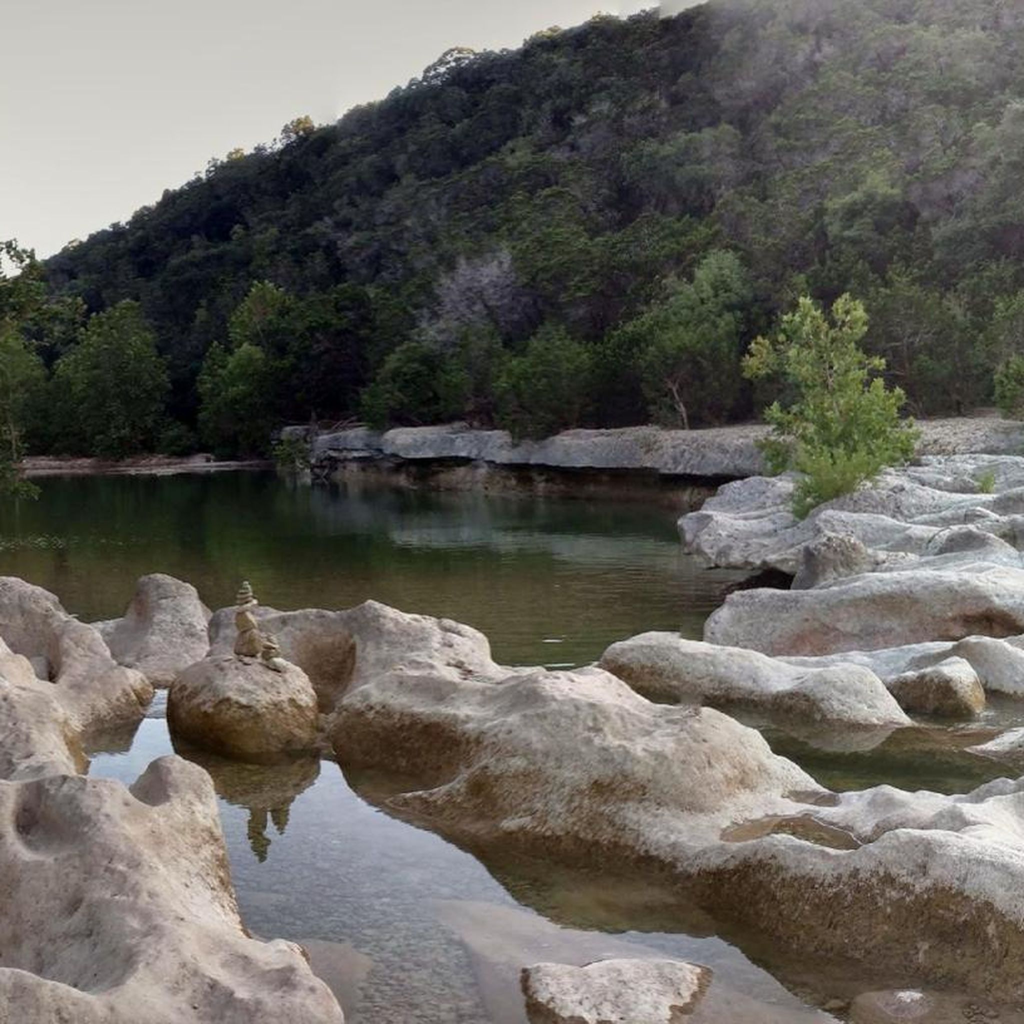

Tips from the Community

Popular spot in the heart of Austin. Beautiful facility. Also suitable for dogs
0
0

… best to be watched on the north side of Lady Bird Lake Right under the Congress ave. bridge
0
0

The Ann and Roy Butler Hike and Bike Trail takes you out over the waters of the Colorado River on a 1000-foot long boardwalk with stunning views across the azure water to the Austin skyline. There are two pull-off spots on either end to take in the views.
0
0

The South Congress Bridge becomes home to roughly 1.5 million bats every March through September. The bats emerge and drop from the bridge each night as they head out for their nightly feeding. There are usually crowds of spectators to watch the bats fly out.
0
0

The Pfluger Pedestrian Bridge, also known as the James D. Pfluger Pedestrian and Bicycle Bridge, spans 700 feet over Lady Bird Lake in downtown Austin, Texas. Opened in 2001, this shared-use bridge connects the north and south sides of the Ann and Roy Butler Hike-and-Bike Trail. It features a distinctive "double curve" design supported by curved concrete piers and a concrete deck on top of weathering steel plate girders. The bridge is named after James D. Pfluger, a local architect who designed the trails surrounding Lady Bird Lake.
0
0
The azure blue water of the springs offers a gorgeous view across to the Austin skyline and makes for a great place to cool off in the summer. There are well maintained and paved paths that circumnavigate the water's edge, and there are some flat rocks that you can use to climb down by the edge of the pool.
1
0

Zilker Metropolitan Park, located in South Austin, Texas, is a haven for urban exploration. Spanning over 350 acres at the confluence of Barton Creek and the Colorado River, this historic park was originally donated by Andrew Jackson Zilker in 1917 and developed into a park during the 1930s. The park is now a central hub for recreation, with the popular hike-and-bike trail around Lady Bird Lake. Whether you're cruising through the park or heading out to explore Austin’s vibrant streets, Zilker Park is a great starting point for any urban adventure. The park also hosts major events like the Austin City Limits Music Festival and the Zilker Park Kite Festival.
0
0

Don't forget small change for the musicians
0
0
Frequently Asked Questions
How many road cycling routes are available in Barton Creek Wilderness Park?
Barton Creek Wilderness Park offers a wide selection of road cycling routes, with over 130 options available for exploration. These routes cater to various skill levels, from easy rides to more challenging ascents.
What is the general difficulty level of road cycling in Barton Creek Wilderness Park?
The road cycling routes in Barton Creek Wilderness Park are diverse, featuring rolling hills and varied terrain. You'll find a good mix of options: approximately 25 easy routes, around 95 moderate routes, and 11 more difficult trails for experienced cyclists. This ensures there's something for every ability.
Are there any family-friendly road cycling routes in the park?
Yes, Barton Creek Wilderness Park offers several easy road cycling routes that are suitable for families. These paths often feature more gradual inclines and scenic, less strenuous sections, making them enjoyable for riders of all ages. Look for routes marked as 'easy' to find the best options for a family outing.
What kind of scenery can I expect while road cycling in Barton Creek Wilderness Park?
Road cycling in Barton Creek Wilderness Park provides diverse scenery, including dense woodlands, limestone formations, and views along the creek. Routes often feature a mix of open stretches and shaded sections, offering varied landscapes throughout your ride. You might also encounter urban green spaces and botanical garden views on some routes, such as the Zilker Botanical Garden – Pfluger Pedestrian Bridge loop from Sunset Valley.
Are there any notable landmarks or attractions along the road cycling routes?
Yes, several routes pass by or are near interesting landmarks. For instance, you might encounter natural features like Sculpture Falls and Twin Falls, or architectural points like the MoPac Mobilit Bike and Pedestrian Bridge. These highlights offer great spots to pause and enjoy the surroundings.
When is the best time of year to go road cycling in Barton Creek Wilderness Park?
The best time for road cycling in Barton Creek Wilderness Park is typically during the spring and fall months. The weather is generally milder and more pleasant, avoiding the intense heat of summer and the occasional cooler temperatures of winter. This allows for more comfortable and enjoyable rides through the park's varied terrain.
Are the road cycling routes in Barton Creek Wilderness Park mostly paved?
Yes, the road cycling routes in Barton Creek Wilderness Park are primarily on paved surfaces, as is typical for road biking. This ensures a smooth and consistent riding experience suitable for road bikes, allowing cyclists to enjoy the park's landscapes without encountering unpaved sections.
What do other road cyclists enjoy most about road cycling in Barton Creek Wilderness Park?
The area is highly rated by the komoot community, with an average score of 4.6 stars from over 50 reviews. Reviewers often praise the diverse terrain, which includes rolling hills and creek-side paths, and the variety of routes catering to different ability levels. Many appreciate the scenic views along the Colorado River and through urban green spaces.
Are there loop trails available for road cycling?
Yes, many of the road cycling routes in Barton Creek Wilderness Park are designed as loops, offering convenient starting and ending points. Examples include the popular Red Bud Isle – Pfluger Pedestrian Bridge loop from Westlake High School and the more challenging Pace Bend National Park loop from Barton Creek.
Where are common starting points or trailheads for road cycling routes?
Road cycling routes in Barton Creek Wilderness Park often start from various points around the park's perimeter or nearby urban areas. For example, routes can begin near Westlake High School, Sunset Valley, or Rollingwood, providing convenient access to the park's network. Specific starting points are usually detailed on individual route pages, such as the Butler District Park trail – Pfluger Pedestrian Bridge loop from Rollingwood.
Can I find places to eat or get coffee near the road cycling routes?
While the park itself is a wilderness area, its proximity to Austin and surrounding communities means there are various cafes, restaurants, and shops available for refueling. Many routes pass through or near urban areas where you can easily find refreshments before, during, or after your ride.
What should I bring for a road cycling trip in Barton Creek Wilderness Park?
For a comfortable road cycling trip, it's advisable to bring plenty of water, especially during warmer months, as well as snacks for energy. Sunscreen, a helmet, and basic bike repair tools (like a spare tube and pump) are also recommended. Depending on the route's length, consider bringing a phone for navigation and emergencies.
Most popular routes in Barton Creek Wilderness Park
Most popular attractions in Barton Creek Wilderness Park

Get inspired with the komoot mobile app


Explore more
Browse the best Road cycling routes in other regions.
