The best road cycling routes around Ingendorf
4.6
(256)
2,695
riders
131
rides
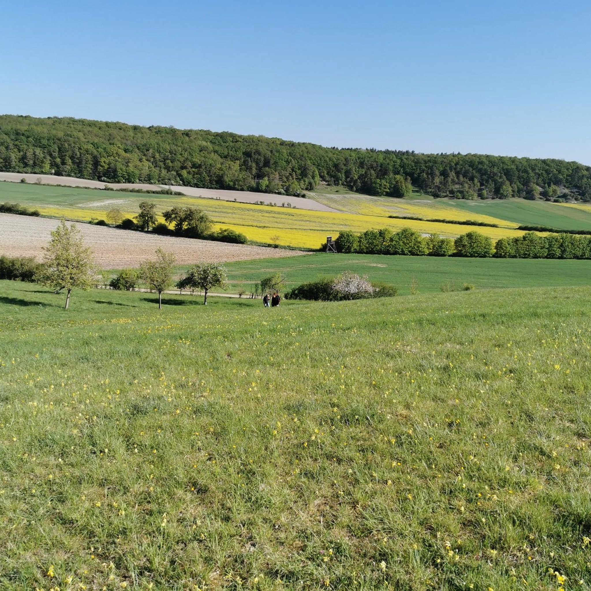
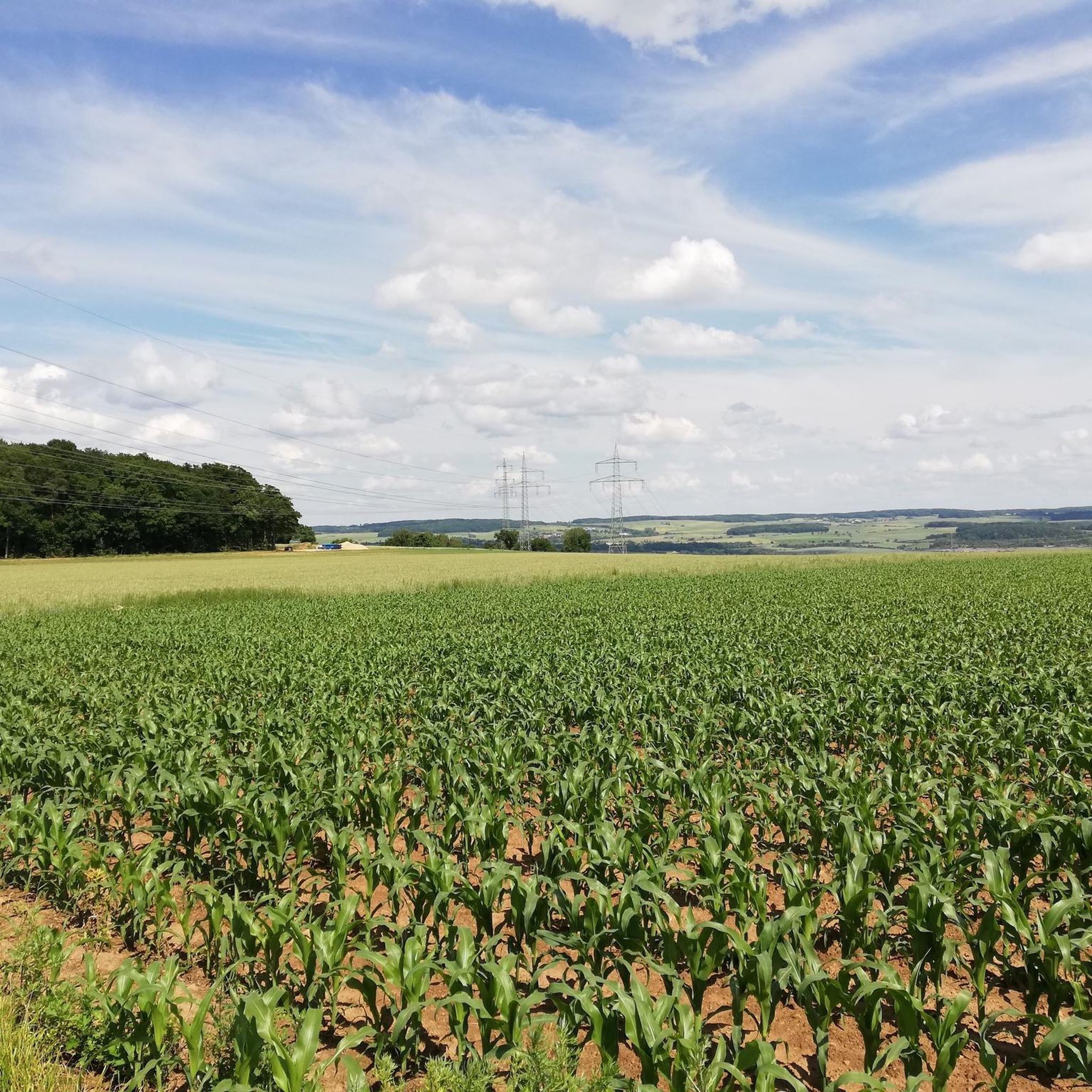
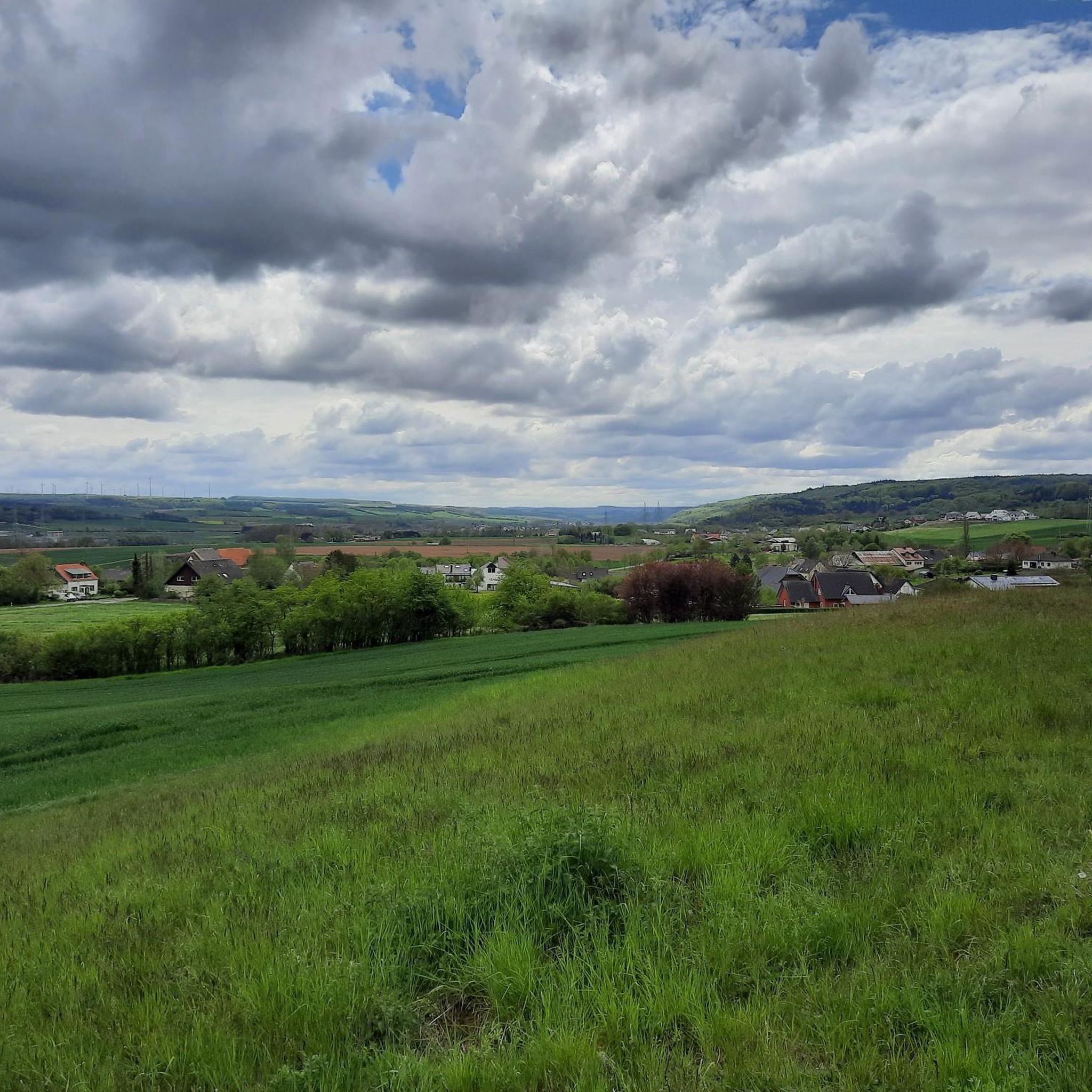
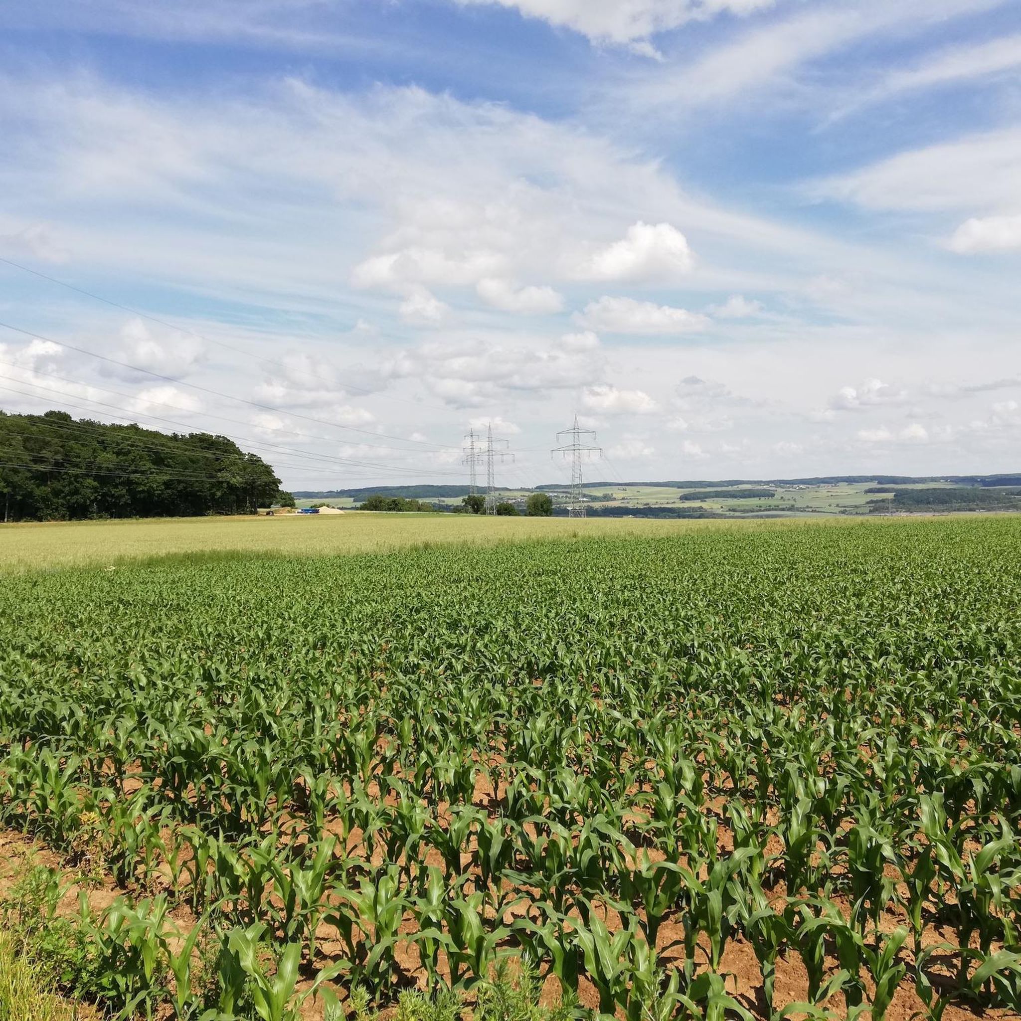
Road cycling routes around Ingendorf traverse the distinctive landscapes of the Felsenland Südeifel region, characterized by dramatic geological formations and serene river valleys. The area features undulating terrain with both gently graded paths along rivers like the Nims and Prüm, and more challenging sections through sandstone landscapes. This topography provides varied inclines and descents, making it suitable for diverse road cycling experiences.
Best road cycling routes around Ingendorf
- The most popular road cycling route is Wallendorf Bridge – Hotel Bollendorf…
Last updated: July 10, 2026
4.8
(9)
53
riders
63.1km
03:03
760m
760m
Moderate road ride. Good fitness required. Some segments of this route may be unpaved and difficult to ride.
33
riders
87.2km
04:02
1,020m
1,020m
Hard road ride. Very good fitness required. Some segments of this route may be unpaved and difficult to ride.

Sign up for free
12
riders
80.2km
04:08
1,100m
1,100m
Hard road ride. Very good fitness required. Some segments of this route may be unpaved and difficult to ride.
9
riders
56.5km
02:50
680m
680m
Moderate road ride. Good fitness required. Mostly well-paved surfaces and easy to ride.
13
riders
34.0km
01:51
650m
650m
Moderate road ride. Good fitness required. Mostly well-paved surfaces and easy to ride.
Get access to more routes and recommendations from other explorers.
Sign up for free
Already have an account?
Our route recommendations are based on thousands of hikes, rides, and runs completed by other people on komoot.
Start today with a free account
Your next adventure awaits.
Login or Signup
Tips from the Community


Everything is great here with the cycle paths.
1
0


Completed in 1952, this arched bridge connects Luxembourg with Germany across the Sûre River. It replaced an older ford and symbolizes the functional connection between the two countries.
5
0

Shortly after the confluence of the Sauer and Our rivers, a bridge connects the villages of Wallendorf (Germany) and Wallendorf-Pont (Luxembourg).
12
0
The Dillinger Bridge is an arched bridge completed in 1952. It crosses the Sûre River and connects Germany and Luxembourg.
10
1

Ideal for zone 2 training !
0
0

Wonderful, winding, mostly shady climb to the Predigtstuhl.
1
0
Frequently Asked Questions
How many road cycling routes are available around Ingendorf?
There are over 130 road cycling routes around Ingendorf, offering a wide range of options for different skill levels and preferences. You'll find everything from easy rides to challenging tours with significant elevation changes.
What kind of terrain can I expect when road cycling around Ingendorf?
Road cycling around Ingendorf features diverse terrain. You can expect gently graded paths along picturesque river valleys like the Nims and Prüm, as well as more undulating sections through the Eifel region with impressive sandstone formations. This provides a mix of flat stretches and challenging climbs and descents.
Are there easy road cycling routes suitable for beginners in Ingendorf?
Yes, Ingendorf offers 14 easy road cycling routes, many of which follow the serene river valleys. These paths are often gently graded, making them ideal for leisurely rides or those new to road cycling. The river valley paths are also known to be family-friendly.
Where can I find more challenging road cycling routes around Ingendorf?
For experienced road cyclists seeking a challenge, there are 24 difficult routes around Ingendorf. These routes often feature significant elevation changes and lead through the more rugged sandstone landscapes. An example is the Kyll Cycle Path near Lissingen – Messerich–Masholder Rail Trail loop from Messerich, which covers 54.4 miles with over 1,000 meters of elevation gain.
What natural landmarks or scenic viewpoints can I see while road cycling near Ingendorf?
While road cycling, you'll encounter the distinctive landscapes of the Felsenland Südeifel. Notable natural features include the dramatic sandstone formations, such as those near the Devil's Gorge and the Teufelspfad Rock Formations. You might also pass by the scenic Irrel Waterfalls in the Prüm valley.
Which road cycling routes offer the best scenic views or pass by notable attractions?
Many routes offer scenic views, especially those traversing the river valleys or the Eifel's undulating terrain. For example, the Beaufort Climb – Predigtstuhl (Preacher's Chair) rock formation loop from Niederstedem leads through varied terrain with notable climbs and passes by the impressive Rock Gate and Rock Tower Teufelsschlucht. The Schloss Niederweis – View of Holsthum loop from Messerich also offers picturesque views.
Are there circular road cycling routes available in Ingendorf?
Yes, many road cycling routes around Ingendorf are designed as loops, allowing you to start and end at the same point. Examples include the popular Wallendorf Bridge – Hotel Bollendorf loop from Messerich and the Messerich–Masholder Rail Trail – Ralinger Railway Tunnel loop from Messerich.
What are the typical distances and durations for road cycling routes around Ingendorf?
The routes vary significantly in length and duration. You can find shorter rides, but many popular routes range from 30 to over 80 kilometers (18 to 50 miles), taking anywhere from 2 to 5 hours to complete, depending on your pace and the route's difficulty. For instance, the Wallendorf Bridge – Hotel Bollendorf loop from Messerich is 62.9 km (39.1 miles) and typically takes around 3 hours.
Is parking available for road cyclists in Ingendorf?
While specific parking areas for cyclists are not detailed, Ingendorf and the surrounding towns offer general parking facilities. Given the area's focus on outdoor activities, you can typically find suitable parking in or near the starting points of many routes, especially in larger villages or near popular attractions.
What do other road cyclists enjoy the most about road cycling in Ingendorf?
The road cycling routes in Ingendorf are highly rated by the komoot community, with an average score of 4.6 stars from over 200 reviews. Cyclists often praise the varied terrain, from scenic river valleys to challenging climbs, and the well-maintained roads that offer a pleasant cycling environment away from heavy traffic.
Can I combine road cycling with other activities or explore cultural attractions?
Absolutely. The region's extensive cycling network connects to broader areas, allowing you to reach cultural attractions. The Sauer Cycle Path, for example, links to the Moselle Cycle Path. For longer tours, destinations like Vianden Castle (18.2km from Ingendorf) or the Roman city of Trier (23.5km from Ingendorf) with its Porta Nigra are accessible and make for appealing destinations.
Are there any lakes or reservoirs accessible by road bike near Ingendorf?
Yes, you can incorporate visits to local water bodies into your road cycling tours. The Bitburg Reservoir is a notable option, offering a Lakeside path and a Lakeside Promenade. The Rock Pond, Ernzen is another smaller, picturesque lake in the vicinity.
Most popular attractions around Ingendorf

Get inspired with the komoot mobile app


Explore more
Browse the best Road cycling routes in other regions.
