The best walks and hikes in Grand Staircase–Escalante National Monument
4.7
(3403)
33,634
hikers
85
hikes
Hiking in Grand Staircase–Escalante National Monument offers access to a vast, rugged wilderness characterized by diverse and unique geological formations. The landscape features extensive networks of slot canyons, sculpted slickrock, and expansive plateaus. Hikers can explore areas with distinctive arches, hoodoos, and multi-colored rock formations, alongside riparian oases with waterfalls. This remote region provides a variety of terrains, from narrow channels carved by water erosion to open desert expanses.
Best hiking trails in Grand Staircase–Escalante National Monument
- The most popular…
Last updated: October 11, 2026
5.0
(8)
132
hikers
8.79km
02:27
170m
160m
This moderate 5.5-mile (8.8 km) hike takes you through the unique Peekaboo and Spooky Slot Canyons, involving a total elevation gain of 548 feet (167 metres) over approximately 2 hours…
5.0
(3)
91
hikers
4.60km
01:15
30m
110m
Imagine a vibrant ribbon of green cutting through a vast, arid landscape; that's the essence of the Lower Calf Creek Falls Trail. This easy 2.9-mile (4.6 km) hike guides you…

4.9
(59)
617
hikers
17.4km
04:43
230m
230m
The Lower Calf Creek Falls Trail offers a unique journey through a desert canyon, where towering Navajo sandstone walls give way to a surprisingly lush riparian corridor. You'll follow Calf…
4.8
(36)
316
hikers
7.82km
02:05
80m
80m
Hike the moderate 4.9-mile Wire Pass to Buckskin Gulch Trail through stunning slot canyons in the Paria Canyon-Vermilion Cliffs Wilderness.
1
hikers
1.03km
00:19
50m
0m
Embark on an easy hike to The 100 Hands Pictographs, a short 0.6 miles (1.0 km) route that takes about 18 minutes to complete. You will gain 161 feet (49…
Get access to more routes and recommendations from other explorers.
Already have an account?
Our route recommendations are based on thousands of hikes, rides, and runs completed by other people on komoot.
Start today with a free account
Your next adventure awaits.
Tips from the Community

3 large figures painted into the rock face with red pigments
0
0


This is the entrance into Spooky Slot Canyon. On most Southern Utah bucket lists, Spooky Slot Canyon is not particularly technical, but you need to make sure you are physically fit and prepared for the challenge.
2
0
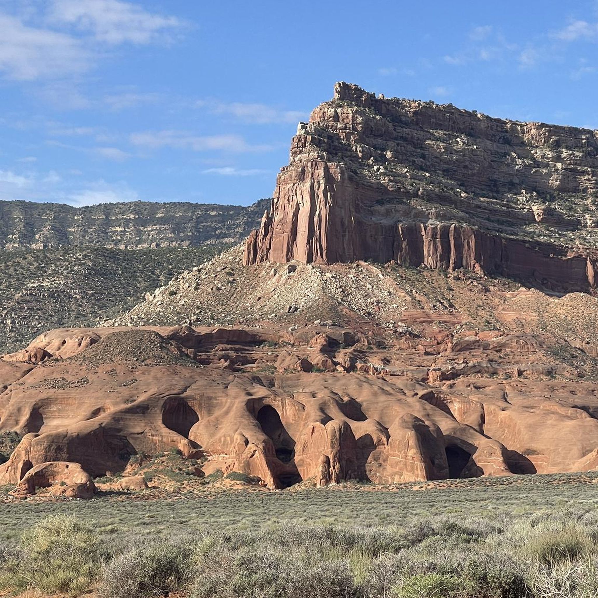
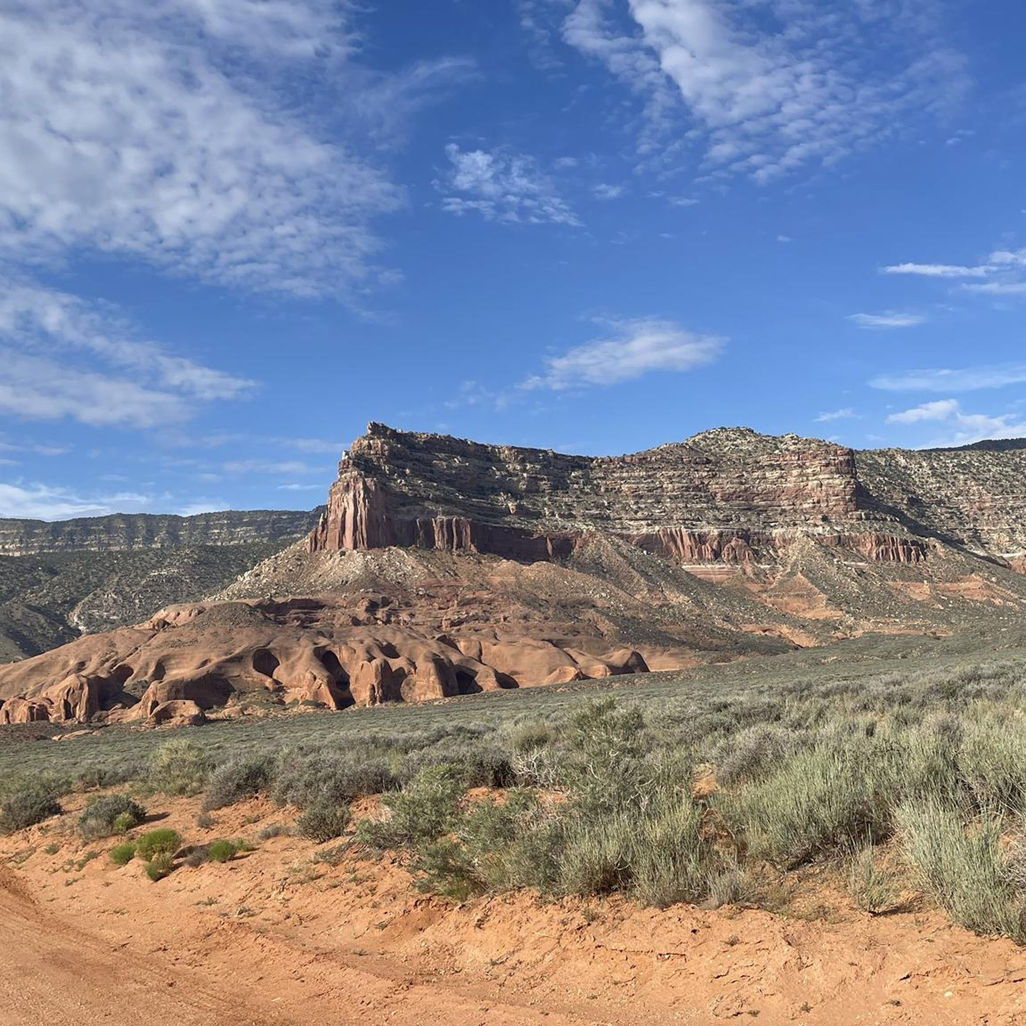
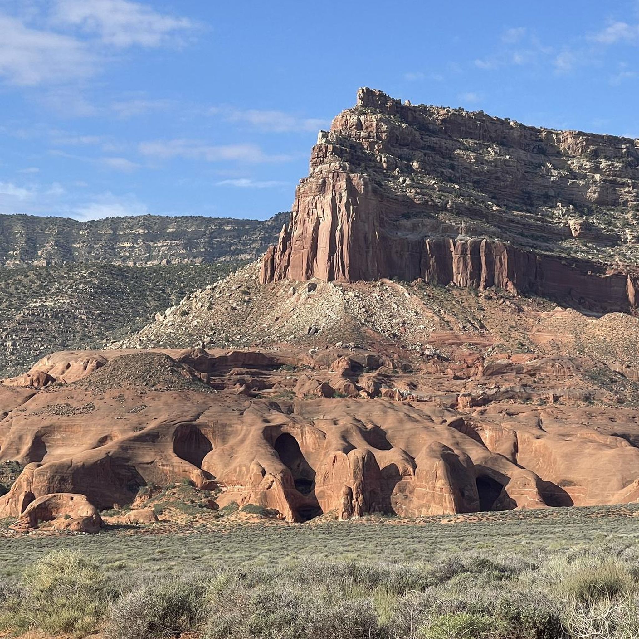
Great viewpoint along the Dry Fork Coyote Gulch Trail. You are treated with a wonderful view of Peeka-boo Slot Canyon.
0
0

You can see the entrance of the Peeka-boo Slot Canyon from this point.
0
0
This is the Start of spooky Slot canyon
0
0

Lovely walk with a wonderful trail map explaining the various vistas
0
0

There's a gap there about 2 meters high, which you'll only be able to manage if you're a really fit climber! Otherwise, just take the bypass, which is MUCH easier.
2
0
Frequently Asked Questions
What kind of terrain can I expect on hiking trails in Grand Staircase–Escalante National Monument?
Grand Staircase–Escalante National Monument offers incredibly diverse terrain. You'll encounter extensive networks of narrow slot canyons with sheer rock walls, sculpted slickrock formations, and vast, open plateaus. Many trails follow dry washes, and some involve scrambling through tight spaces. The landscape is characterized by unique geological features like arches, hoodoos, and multi-colored rock formations.
Are there any easy, family-friendly hikes in Grand Staircase–Escalante National Monument?
Yes, there are several family-friendly options. The Toadstool Hoodoos Trail is an easy 3.1 km (1.9 miles) walk leading to distinctive mushroom-shaped rock pillars. Willis Creek Slot Canyon is also considered one of the easiest and most scenic slot canyon hikes, suitable for nearly everyone.
Can I see waterfalls while hiking in Grand Staircase–Escalante National Monument?
Absolutely. Despite the arid environment, the monument features beautiful waterfalls that create lush oases. The most popular is the Lower Calf Creek Waterfall Trail, a 17.4 km (10.8 miles) hike to an impressive 87-foot waterfall with cool pools. There's also Upper Calf Creek Falls, a shorter trip to another beautiful waterfall.
What are some notable natural features or landmarks to look for on the trails?
The monument is rich in unique natural features. You can explore incredible slot canyons like Zebra Slot Canyon, Peek-a-Boo Slot Canyon, and Spooky Slot Canyon. Other highlights include the mushroom-shaped Toadstool Hoodoos, the otherworldly formations at Devil's Garden, and the prominent Grosvenor Arch.
How many hiking trails are available in Grand Staircase–Escalante National Monument?
There are over 60 hiking routes available in Grand Staircase–Escalante National Monument, ranging from easy strolls to challenging multi-day treks. Approximately half of these are considered easy, with the other half split between moderate and difficult ratings.
What do other hikers say about the trails in Grand Staircase–Escalante National Monument?
The trails in Grand Staircase–Escalante National Monument are highly rated by the komoot community, with an average score of 4.7 stars from over 380 reviews. Hikers often praise the unique geological formations, the remote wilderness experience, and the stunning slot canyons.
Are there any challenging day hikes for experienced hikers?
Yes, the monument offers challenging options. Many slot canyons require scrambling and navigating tight passages. For example, the Wire Pass Trail to Buckskin Gulch Slot Canyon offers an immersive experience through narrow canyons that can be quite demanding, especially deeper into Buckskin Gulch.
What should I know about parking and accessibility for trailheads?
Many attractions and trailheads in Grand Staircase–Escalante National Monument are accessible via dirt roads. It's crucial to check local conditions before heading out, as these roads can become impassable after storms. Always be prepared for remote conditions and limited services.
Are permits required for hiking in Grand Staircase–Escalante National Monument?
Permits are required for all overnight stays within the monument. Additionally, some high-visitation areas may also require day-use permits. It's essential to check with the Bureau of Land Management (BLM) for the most current permit requirements for your planned hike.
What are the best times of year to hike in Grand Staircase–Escalante National Monument?
The shoulder seasons (spring and fall) are generally the best times to hike in Grand Staircase–Escalante National Monument, offering more moderate temperatures. Summers can be extremely hot, and flash flood risks in slot canyons are higher during monsoon season. Winters can bring cold temperatures and snow, making some areas inaccessible.
Are there any circular routes or loop trails available?
Yes, some areas offer loop opportunities. For instance, the Peek-a-Boo and Spooky Gulch slot canyons can be hiked as a memorable 3.5-mile loop, requiring some scrambling and navigating tight passages. Always check route descriptions for specific loop options.
What are slot canyons and what makes them unique in this region?
Slot canyons are narrow channels with sheer rock walls, carved by water erosion over millennia. Grand Staircase–Escalante is renowned for its extensive network of these 'skinny canyons,' some with depth-to-width ratios exceeding 10:1. They offer thrilling hiking experiences, showcasing beautiful orange sandstone formations that arch overhead, and often require scrambling and squeezing through tight spaces.
Most popular routes in Grand Staircase–Escalante National Monument
Most popular attractions in Grand Staircase–Escalante National Monument

Get inspired with the komoot mobile app


Explore more
Browse the best Hikes in other regions.
