The best walks and hikes around Inden
4.3
(181)
1,232
hikers
71
hikes
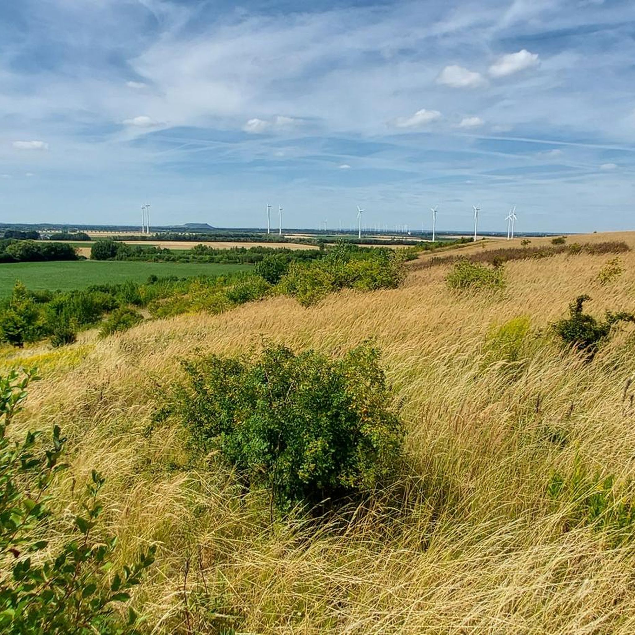
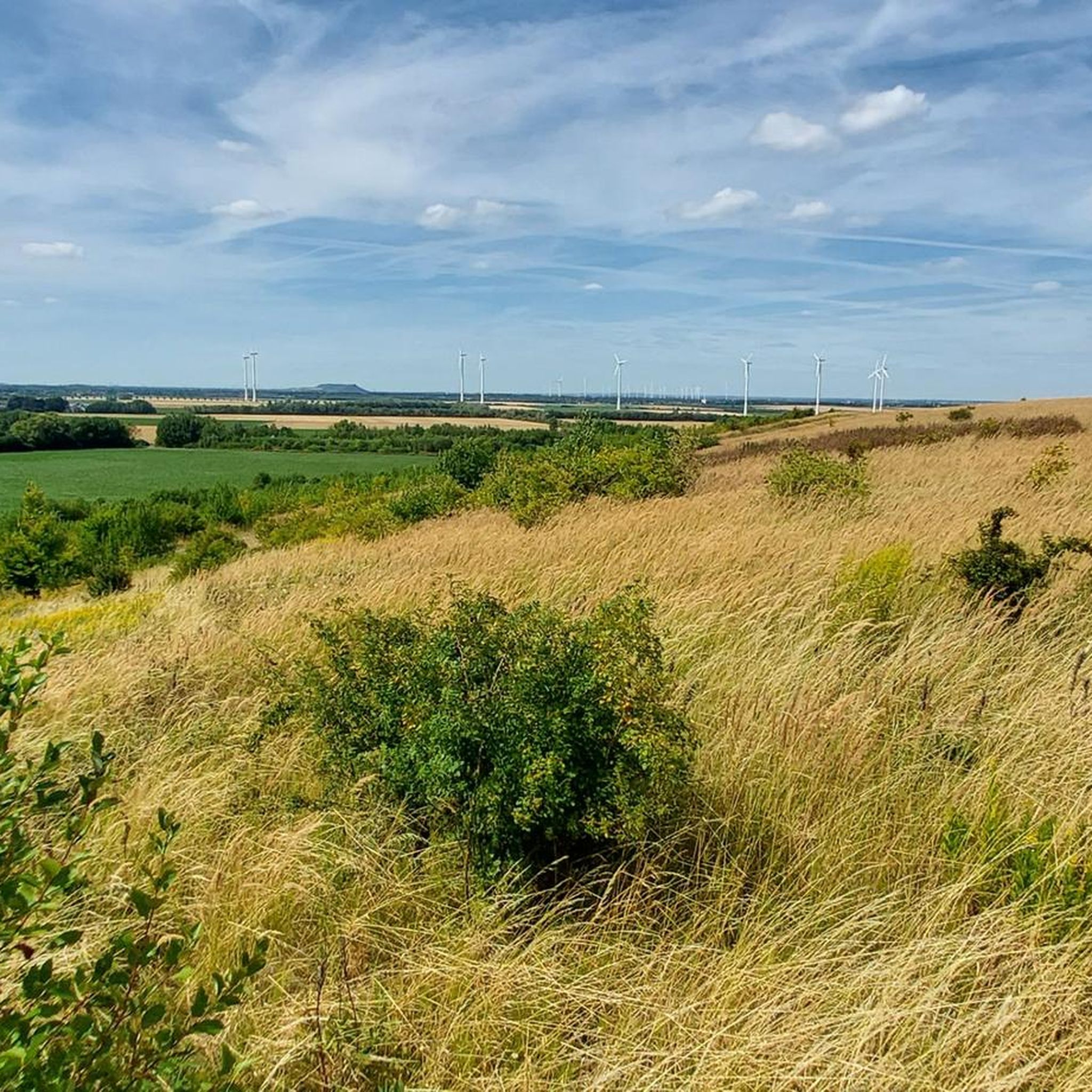
Hiking around Inden features a landscape shaped by the Inde River and former industrial areas, now offering varied terrain for outdoor activities. The region includes gentle hills, open fields, and paths along water bodies. Trails often provide views of the surrounding countryside and landmarks like the Indemann Observation Tower.
Best hiking trails around Inden
- The most popular hiking route is View of Inden Open-Pit Mine – Indemann Observation Tower loop from Inden, a 5.4 miles (8.7 km) trail that…
Last updated: October 8, 2026
4.0
(2)
9
hikers
Easy hike. Great for any fitness level. Easily-accessible paths. Suitable for all skill levels.
4.7
(9)
61
hikers
6.06km
01:36
50m
50m
Easy hike. Great for any fitness level. Easily-accessible paths. Suitable for all skill levels.

4.0
(8)
36
hikers
6.82km
01:44
20m
20m
Easy hike. Great for any fitness level. Easily-accessible paths. Suitable for all skill levels.
4.0
(3)
14
hikers
5.65km
01:29
40m
40m
Easy hike. Great for any fitness level. Easily-accessible paths. Suitable for all skill levels.
3.6
(5)
25
hikers
7.80km
02:03
60m
60m
Moderate hike. Good fitness required. Easily-accessible paths. Suitable for all skill levels.
Get access to more routes and recommendations from other explorers.
Already have an account?
Our route recommendations are based on thousands of hikes, rides, and runs completed by other people on komoot.
Start today with a free account
Your next adventure awaits.

Tips from the Community

The miner figure "Arthur Oster" is a monument and a hiking highlight near the Inden open-cast mine in North Rhine-Westphalia. • Background: The statue was erected to commemorate and honor the Inden lignite mine. • Namesake: The figure is named after Arthur Oster, the long-standing director of the Inden open-cast mine (RWE Power), who retired in 2012. Mr. Oster was known for placing great value on mining traditions and actively maintaining them. • Significance: The monument symbolizes the connection to the region, the Rhenish mining history, and the traditional miner's greeting "Glück auf!".
1
0
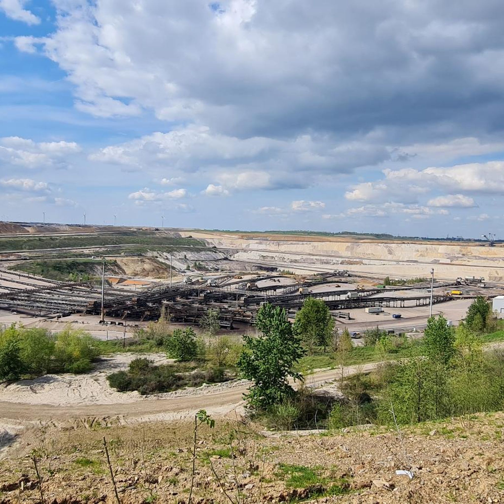
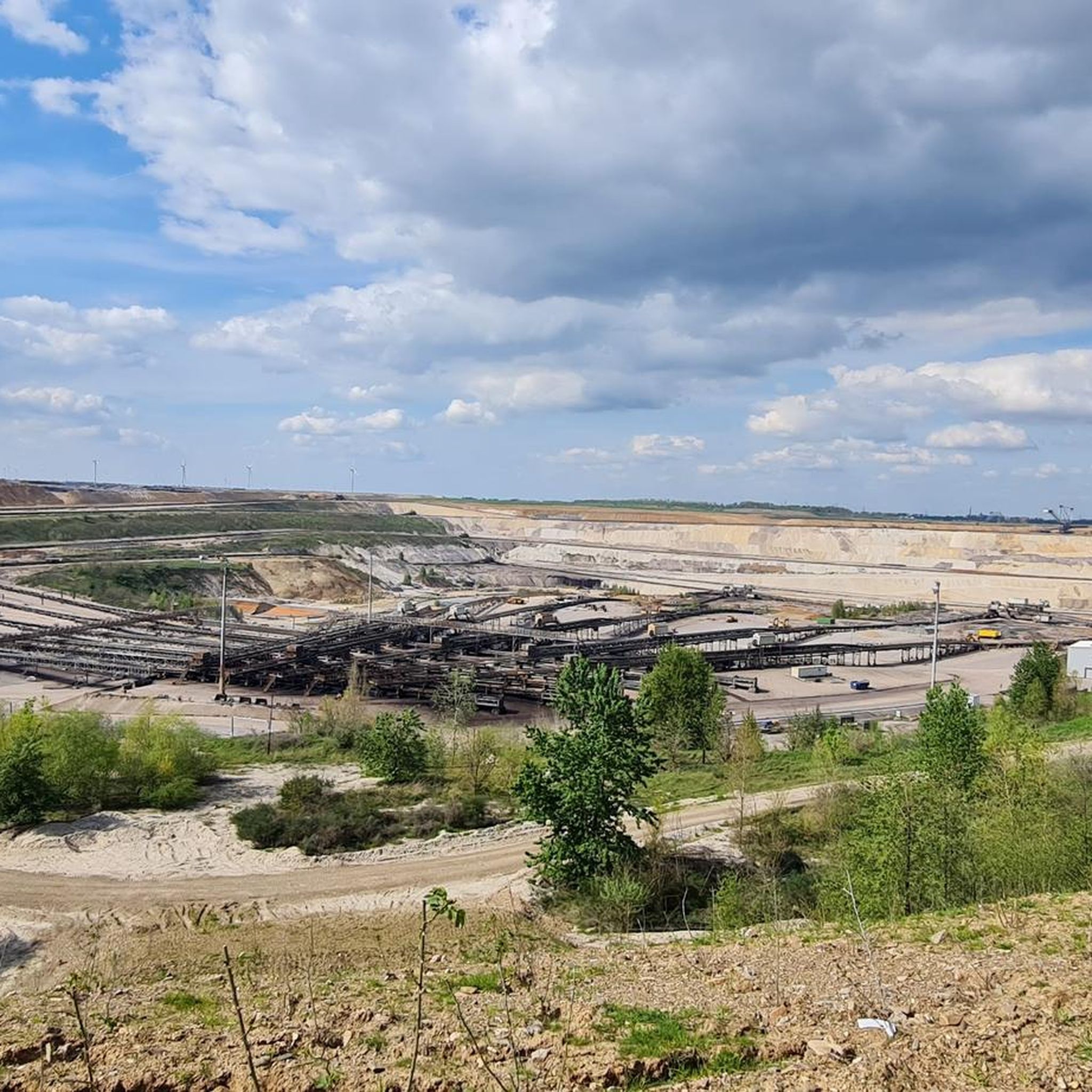
The Inden open-cast mine is an active lignite mine operated by RWE Power AG in the Rhenish lignite mining area. It extends across North Rhine-Westphalia over an area between the municipalities of Aldenhoven, Jülich, Eschweiler, and Düren. Key figures & operation: • Extraction & purpose: The mine extracts around 15 to 22 million tonnes of lignite annually. All coal is delivered exclusively via conveyor belts directly to the neighboring Weisweiler power plant. Unlike other mines, there is no rail connection. • Dimensions: The coal seams are up to 45 meters thick and lie at a depth of up to 230 meters below the earth's surface. • Duration: Official operations are scheduled to end in 2029. The Arnsberg district government has approved the final main operating plan, which regulates extraction until the final coal phase-out. Future outlook: The Indesee: After coal extraction ends in 2029, a huge residual pit will remain, which will be converted into a local recreation area as part of the recultivation process. • From 2030, the filling of the basin will begin with water from the nearby Rur river as well as rising groundwater. • The Indesee will be created, which will cover a water surface of around 11 to 13 square kilometers and reach a maximum depth of around 180 meters. • The complete filling of the lake is expected to take until the year 2055.
1
0


the place is called „Lamersdorf“ and not Lammersdorf
0
0

Frequently Asked Questions
What types of hiking trails can I find in Inden?
Inden offers a varied landscape for hiking, shaped by the Inde River and former industrial areas. You'll find paths along water bodies, through gentle hills, and across open fields. The trails often provide views of the surrounding countryside and landmarks like the Indemann Observation Tower. The network includes options for different ability levels, from easy strolls to moderate hikes.
How many hiking routes are available in Inden?
There are over 70 hiking routes available in Inden. This includes a wide range of options, with 58 easy trails, 11 moderate trails, and 1 difficult trail, catering to various fitness levels and preferences.
Are there any easy hiking trails suitable for beginners or families in Inden?
Yes, Inden has many easy hiking trails. For example, the The Knobby Tree – Former Lucherberg Lake loop from Lucherberg is an easy 2.1-mile (3.3 km) path that explores the natural landscapes around the former Lucherberg Lake. Another easy option is the Indemann – Indemann Observation Tower loop from Inden, which is 3.8 miles (6.1 km) long.
What are some notable landmarks or viewpoints to see while hiking in Inden?
Many trails in Inden offer views of the surrounding countryside and significant landmarks. A prominent feature is the Roman Tower at Sophienhöhe. You can also explore areas near the River Rur, or visit historical sites like Laufenburg Castle and Schloss Kellenberg.
Are there any circular hiking routes in Inden?
Yes, many of the trails in Inden are circular routes, offering convenient starting and ending points. Examples include the popular View of Inden Open-Pit Mine – Indemann Observation Tower loop from Inden and the Former Lucherberg Lake – The Knobby Tree loop from Lucherberg.
What do other hikers say about the trails in Inden?
The routes in Inden are highly rated by the komoot community, with an average score of 4.5 stars from over 200 reviews. Hikers often praise the varied terrain, the views of the open-pit mining areas, and the paths along the Inde River and former lake beds.
Are there any trails that offer views of the open-pit mine?
Yes, several trails provide views of the open-pit mine. The View of Inden Open-Pit Mine – Indemann Observation Tower loop from Inden is a moderate 5.4-mile (8.7 km) route specifically designed to offer these unique perspectives.
Can I hike along the Inde River in Inden?
Yes, hiking along the Inde River is a defining characteristic of the region. The Haus Palant – Along the Inde River loop from Frenz is an easy 4.2-mile (6.8 km) route that allows you to experience the river's natural surroundings.
Are there any historical sites or castles accessible from hiking trails?
Inden's surroundings feature several historical sites and castles. You can find Laufenburg Castle and Schloss Kellenberg nearby. Additionally, the Witch Tower (Rur Gate), Jülich and Jülich Citadel offer glimpses into the region's past.
What is the typical elevation gain on hikes in Inden?
The elevation gain on hikes in Inden is generally moderate. For example, the View of Inden Open-Pit Mine – Indemann Observation Tower loop from Inden has an elevation gain of about 58 meters, while easier routes like The Knobby Tree – Former Lucherberg Lake loop from Lucherberg have minimal elevation changes, around 9-10 meters.
Is Inden suitable for longer, more challenging hikes?
While Inden primarily offers easy to moderate trails, there is at least one difficult route among the 70+ options for those seeking a greater challenge. The majority of routes are designed for enjoyable walks rather than strenuous climbs.
Most popular routes around Inden
Most popular attractions around Inden

Get inspired with the komoot mobile app


Explore more
Browse the best Hikes in other regions.
