The best cycling routes in Minnesota Valley National Wildlife Refuge
4.8
(31)
151
riders
21
rides
Touring cycling in Minnesota Valley National Wildlife Refuge offers routes through a diverse landscape along the Minnesota River. The refuge features an extensive network of trails across varied terrains, including riverine paths, prairie bluffs, and floodplain forests. These routes navigate through 14,000 acres of prairies, woodlands, marshes, and wetlands. The area is characterized by its blend of natural beauty and accessibility within an urban refuge setting.
Best touring cycling routes in Minnesota Valley National Wildlife Refuge
- The most popular touring cycling route is Riley Lake Park – Bloomington Ferry Bridge loop from Chaska, a 28.4 miles (45.7 km) trail that takes 2 hours 44 minutes to complete. This route offers views along the Minnesota River Valley.
- Another top favourite among local touring cyclists is Memorial Park – Cliffs loop from Chaska, a moderate 27.6 miles (44.4 km) path. This trail traverses varied terrains, including sections near floodplain forests and open areas.
- Local touring cyclists also love the Abandoned Bridge – Lake Grace Picnic Area loop from Chaska, a 10.0 miles (16.1 km) trail leading through wetlands and prairies, often completed in about 57 minutes.
- Touring cycling in Minnesota Valley National Wildlife Refuge is defined by the Minnesota River Valley, extensive prairies, and floodplain forests. The network offers options for easy and moderate ability levels.
- The routes in Minnesota Valley National Wildlife Refuge are highly rated by the komoot community with an average score of 4.95 stars from over 23 reviews. More than 100 touring cyclists have used komoot to explore Minnesota Valley National Wildlife Refuge's varied terrain.
Last updated: July 11, 2026
4.5
(6)
26
riders
45.6km
02:44
200m
200m
Moderate bike ride. Good fitness required. Mostly paved surfaces. Suitable for all skill levels.
5.0
(1)
9
riders
44.4km
02:44
120m
120m
Moderate bike ride. Good fitness required. Mostly paved surfaces. Suitable for all skill levels.

Sign up for free
5.0
(2)
4
riders
16.6km
00:59
110m
110m
This easy touring cycling loop near Chaska offers a delightful escape, guiding you along smoothly paved paths through picturesque river valley scenery. You'll enjoy calm water views as you pass the Lake Grace Pavilion, a perfect spot to pause and take in the peaceful lakeside setting. The route is designed for a relaxed pace, allowing you to soak in the natural beauty of riverine forests and wetlands without significant effort.
Planning your ride is straightforward, as the Chaska trail system is well-connected, featuring underpasses for safe road crossings. The Lake Grace Picnic Area, with its pavilion, tables, and grills, provides an excellent amenity for a mid-ride break. This 10.3-mile (16.6 km) loop, with a gentle 347 feet (106 metres) of elevation gain, can be completed in about 58 minutes, making it an ideal choice for a quick, accessible ride any time of day.
The loop's name hints at local history, with the "Abandoned Bridge" likely referring to the historical Chaska Trestle, a former railroad bridge that was part of an early rail-to-trail project. While the original bridge is no longer fully intact, its legacy is a reminder of the area's rich past. This route is a great option for beginner touring cyclists in Chaska, Minnesota, or families looking for a family friendly cycling experience with scenic views and convenient amenities.
5.0
(6)
5
riders
7.69km
00:26
20m
20m
Easy bike ride. Great for any fitness level. Mostly paved surfaces. Suitable for all skill levels.
5.0
(4)
12
riders
Easy bike ride. Great for any fitness level. Mostly paved surfaces. Suitable for all skill levels.
Get access to more routes and recommendations from other explorers.
Sign up for free
Already have an account?
Our route recommendations are based on thousands of hikes, rides, and runs completed by other people on komoot.
Start today with a free account
Your next adventure awaits.
Login or Signup
Popular around Minnesota Valley National Wildlife Refuge
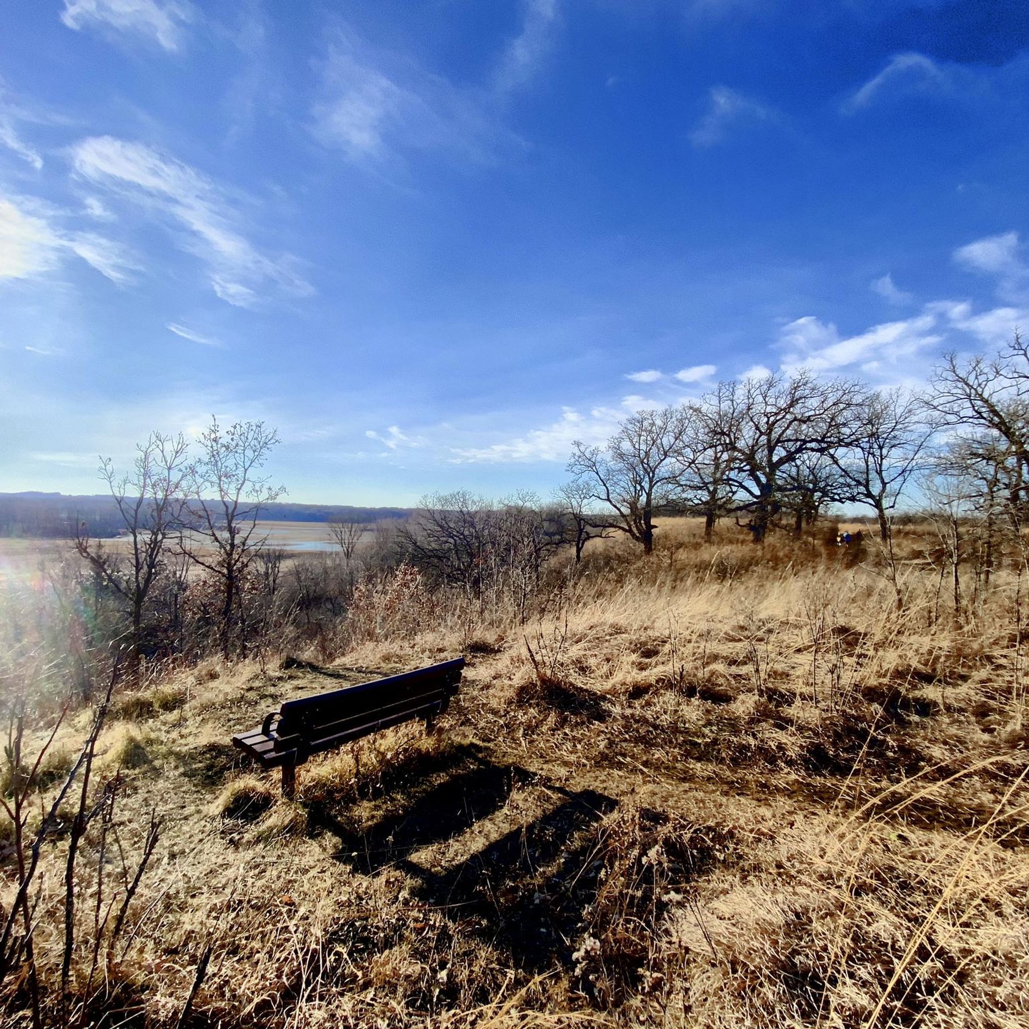
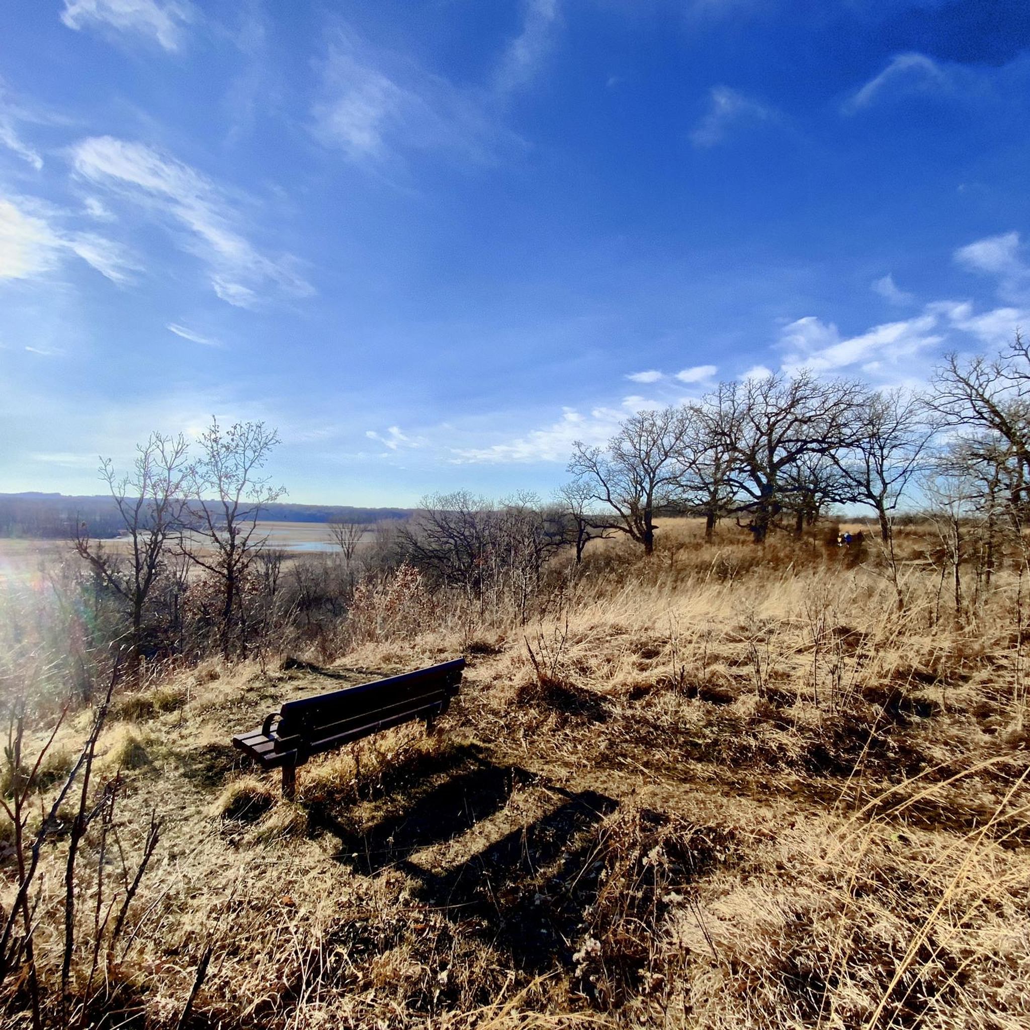

Tips from the Community

This entry point to the Minnesota Valley Trail is conveniently located off State Highway 101. Ample parking is available, though there are no restrooms on site. From here, the trail heads west toward Shakopee or north across the Minnesota River to Bloomington.
0
0

This secluded beach looks perfect for a summer break. Bring your swimsuit!
0
0

Nice bridge, very popular with a parking lot right next to it
1
0
Cool local park on a small lake, but this lake connects to a series of lakes in the neighborhood
0
0
Bridge over 212 on the Minnesota River Bluffs LRT Regional Trail
0
0

This 137-acre park, the largest in Shakopee, offers trails and bridges with beautiful views of the water. You can find several benches and picnic shelters for taking a break. The park is unique for its Veterans Memorial and Native American burial mounds.
0
0
Nice Minnesota River views from this bridge that connects Shakoppe to Bloomington parts of the trail
1
0
What a nice new park, I'm guessing this was built or renovated recently.
0
0
Frequently Asked Questions
How many touring cycling routes are available in Minnesota Valley National Wildlife Refuge?
There are over 15 touring cycling routes available in Minnesota Valley National Wildlife Refuge, offering diverse experiences for cyclists. These routes are highly rated by the komoot community, with an average score of 4.95 stars.
What kind of terrain can I expect on the touring cycling routes?
The refuge offers a variety of terrains, including riverine paths, prairie bluffs, and floodplain forests. You'll find extensive networks across 14,000 acres of prairies, woodlands, marshes, and wetlands. Many trails are noted for flat and rolling terrain, with some beginner-level off-road options.
Are there easy or beginner-friendly touring cycling routes?
Yes, the refuge has several easy and beginner-friendly options. For instance, the Abandoned Bridge – Lake Grace Picnic Area loop from Chaska is an easy 10-mile trail leading through wetlands and prairies. The River Bottoms Trail in the Bloomington Ferry Unit is also noted for its flat and rolling terrain, suitable for beginners.
Can I find circular touring cycling routes in the refuge?
Yes, many of the touring cycling routes in the refuge are designed as loops. Examples include the popular Riley Lake Park – Bloomington Ferry Bridge loop from Chaska, which offers views along the Minnesota River Valley, and the Memorial Park – Cliffs loop from Chaska, traversing varied terrains.
What natural features or landmarks can I see along the touring cycling routes?
While cycling, you can explore diverse habitats like prairies, woodlands, marshes, and wetlands. Notable features include the scenic Minnesota River Valley, floodplain forests, and oak savannas. You might also encounter landmarks such as the Oak Savanna and Tallgrass Prairie, the Big Sand Creek Bridge, and a Gigantic Glacial Erratic near Middle Road.
Is Minnesota Valley National Wildlife Refuge suitable for family cycling?
Absolutely. The refuge offers family-friendly paved trails and beginner-level off-road options. The flat and rolling terrain of many trails, like the River Bottoms Trail, makes them suitable for cyclists of varying ages and skill levels. Electric-assist bicycles are also welcome.
Are dogs allowed on the touring cycling trails?
The refuge's website indicates that pets are generally allowed on trails, but they must be on a leash. It's always best to check specific trail regulations or visitor center guidelines for any updates or restrictions regarding pets on cycling paths. You can find more information on the official refuge website: fws.gov/refuge/minnesota-valley.
What is the best time of year for touring cycling in the refuge?
The refuge is accessible for cycling year-round. Spring and fall are particularly scenic, with vibrant plant communities and active wildlife during migration. However, trails like the Long Meadow Lake Trail, River Bottoms Trail, and Mazomani Trail are even groomed for winter use, allowing for fat tire biking alongside other winter activities.
Is winter fat biking possible in Minnesota Valley National Wildlife Refuge?
Yes, winter fat biking is a popular activity in the refuge. Several trails, including the Long Meadow Lake Trail, River Bottoms Trail, and Mazomani Trail, are groomed for winter use, making them suitable for fat tire biking, snowshoeing, and hiking.
Where can I park when visiting the refuge for cycling?
The refuge has several access points and visitor centers that typically offer parking. The Bloomington Education and Visitor Center and the Rapids Lake Education and Visitor Center are excellent starting points and usually provide parking facilities. It's advisable to check the official refuge website for specific parking locations and any potential fees or regulations: fws.gov/refuge/minnesota-valley/visit-us.
How can I reach the Minnesota Valley National Wildlife Refuge by public transport?
As an urban refuge near the Twin Cities, some units of the Minnesota Valley National Wildlife Refuge may be accessible via public transportation. However, specific routes and stops can vary. For detailed information on public transport options to different refuge units, it is recommended to consult local transit authorities or the official refuge website's visitor information section: fws.gov/refuge/minnesota-valley/visit-us.
What do other cyclists say about their experience in the refuge?
The touring cycling routes in Minnesota Valley National Wildlife Refuge are highly rated by the komoot community, with an average score of 4.95 stars from over 23 reviews. Cyclists often praise the diverse landscapes, the well-maintained trails, and the opportunity to experience nature within an urban setting.
What wildlife might I encounter while cycling?
The refuge is home to a rich array of wildlife across its diverse ecosystems. Cyclists might spot iconic species such as bald eagles, wood ducks, river otters, and white-tailed deer. During migration, numerous shorebirds, waterfowl, and songbirds are also present. The refuge also supports endangered or threatened species like the northern long-eared bat and rusty-patched bumblebee.
Most popular routes in Minnesota Valley National Wildlife Refuge
Most popular attractions in Minnesota Valley National Wildlife Refuge

Get inspired with the komoot mobile app


Explore more
Browse the best Cycling routes in other regions.
