Steigerwald Lake National Wildlife Refuge
Steigerwald Lake National Wildlife Refuge
The best road cycling routes in Steigerwald Lake National Wildlife Refuge
4.7
(13)
376
riders
22
rides
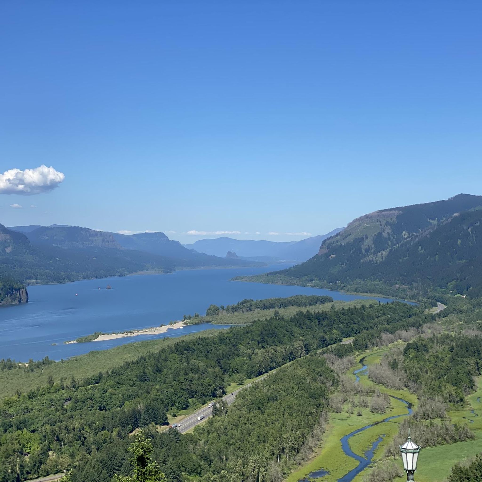
Road cycling in Steigerwald Lake National Wildlife Refuge is characterized by its location within the Columbia River Gorge National Scenic Area, offering views of the Columbia River and distant peaks like Mount Hood. The refuge itself features a restored Columbia River floodplain with shallow ponds, marshes, open fields, and cottonwood-lined riparian woodlands. While dedicated paved road cycling is limited within the refuge, the multi-use Refuge River Trail provides a compacted gravel surface for cyclists and connects to broader regional routes.…
Last updated: October 15, 2026
9
riders
149km
07:12
1,500m
1,500m
Hard road ride. Very good fitness required. Mostly well-paved surfaces and easy to ride.
8
riders
60.6km
02:35
320m
320m
Moderate road ride. Good fitness required. Mostly well-paved surfaces and easy to ride.

4
riders
103km
04:31
750m
750m
Moderate road ride. Good fitness required. Mostly well-paved surfaces and easy to ride.
33
riders
47.9km
02:44
1,010m
1,010m
Hard road ride. Very good fitness required. Mostly well-paved surfaces and easy to ride.
48
riders
100.0km
04:19
1,570m
1,570m
Hard road ride. Very good fitness required. Mostly well-paved surfaces and easy to ride.
Get access to more routes and recommendations from other explorers.
Already have an account?
Our route recommendations are based on thousands of hikes, rides, and runs completed by other people on komoot.
Start today with a free account
Your next adventure awaits.
Popular around Steigerwald Lake National Wildlife Refuge
Tips from the Community

The river is visible through the trees as you ride down the historic highway. The Sandy River begins at Reid Glacier on Mount Hood, and travels 56 miles to reach its confluence with the Columbia.
0
0
Marine Drive follows the bank of the Columbia River for many miles along Portland's north shore. The views are phenomenal and there is typically decent shoulder and enough space for cars to pass. A paved multi-use path parallels the road for most of its length, but here they merge into one for about two thirds of a mile.
0
0

Here you can view Burnt Bridge Creek as it flows west to Vancouver Lake, which drains into Lake River and eventually feeds into the Columbia River.
0
0
H.J. Biddle Nature Preserve is a peaceful, wooded area offering hiking trails and wildlife viewing. There are two main trails in the park: the Cedar Circle Trail and the Trillium Trail.
0
0

Broughton Beach offers visitors easy access to the Columbia River, and on clear days you will also have a great view of Mt. Hood. The slow current and gradual entry into the water make this a great place to stop for a swim on warm days.
1
0
Here's a perfect spot to take a break, park your bike, and walk up the trail for an excellent view of both Lower and Upper Multnomah Falls.
1
0

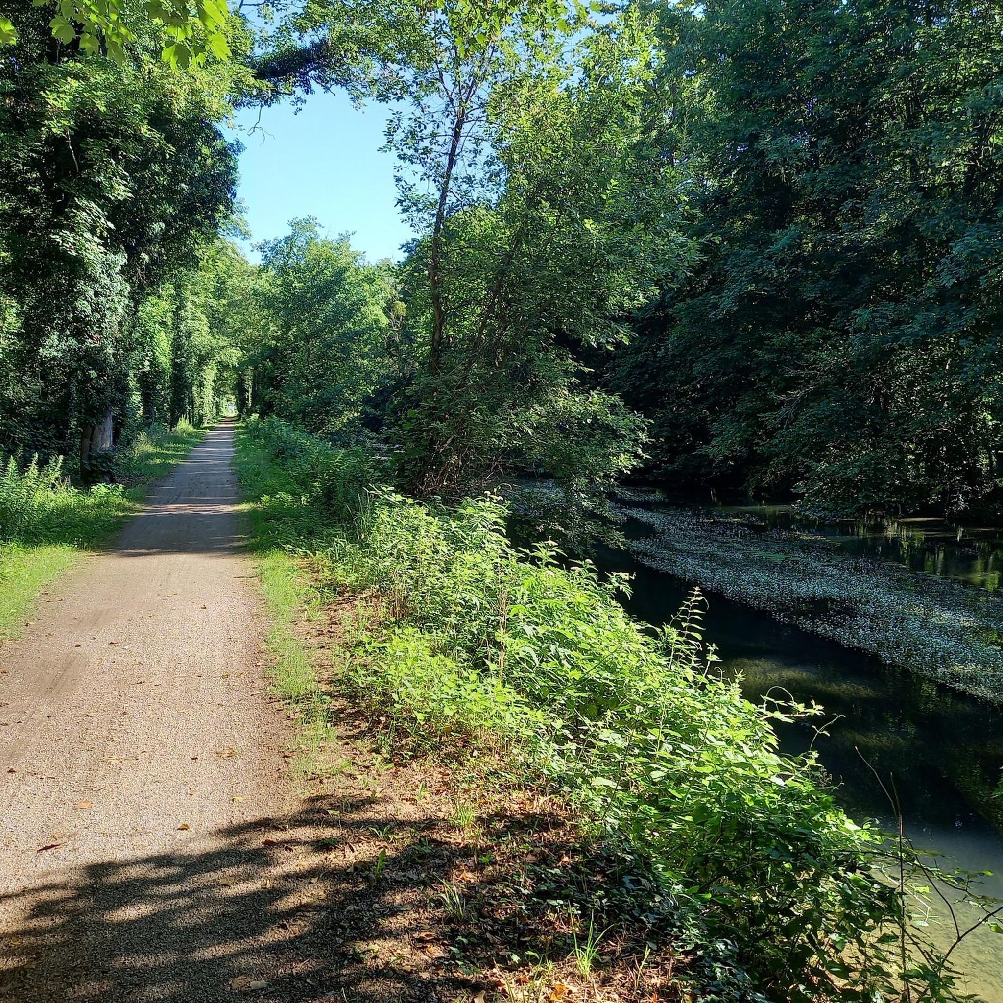
Burnt Bridge Creek is a 13-mile stream starting near Orchards and ending in Vancouver Lake. For the first 8 miles, the creek travels through natural and artificial waterways before joining a small canyon. The creek's lower section is home to coho salmon, rainbow trout, and steelhead. The 8-mile Burnt Bridge Creek Greenway Trail, a popular path for walking, biking, and jogging, runs along the creek as well.
0
0
Experience Clark County’s natural beauty on the expansive and accessible Lewis and Clark Regional Trail. This trail connects multiple waterfront paths and extends deeper into Vancouver, providing a smooth run through the region's scenic areas.
0
0
Frequently Asked Questions
What kind of cycling trails are available within Steigerwald Lake National Wildlife Refuge?
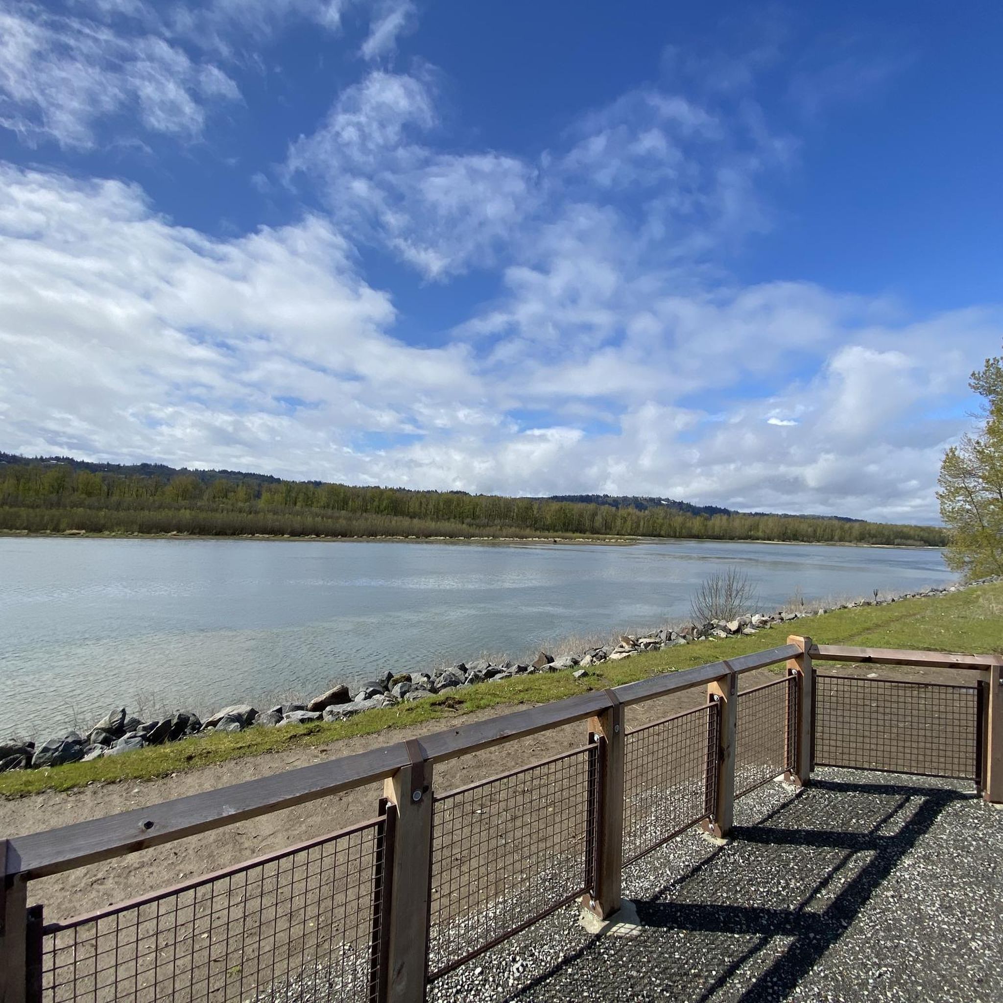
Within the refuge itself, the primary cycling route is the multi-use Refuge River Trail. This 3-mile trail features a compacted gravel surface, making it suitable for various cycling preferences, though it is not a paved road. It offers scenic views along the Columbia River.
Are there paved road cycling routes near Steigerwald Lake National Wildlife Refuge?
Yes, while the refuge's internal trails are mostly compacted gravel, the area connects to broader cycling routes with mostly paved surfaces. These include the Columbia River Dike Trail, which runs along the Columbia River from the Washougal Pendleton Woolen Mills, and other bike loops from Washougal and Troutdale.
What natural features and viewpoints can I expect to see while cycling in the area?
The region offers stunning views, particularly along the Columbia River frontage. On clear days, you can enjoy breathtaking views of Mount Hood and Crown Point. The refuge itself features diverse habitats including shallow ponds, marshes, open fields, and cottonwood-lined riparian woodlands, all within the Columbia River Gorge National Scenic Area.
What are the difficulty levels of road cycling routes in the region?
The routes in and around Steigerwald Lake National Wildlife Refuge offer a range of difficulties. You'll find options for easy, moderate, and difficult rides. For example, the Broughton Beach – Marine Drive Trail loop from Washougal is a difficult route, while the Washougal Harbor – Fort Vancouver loop from Washougal is considered moderate.
Is parking available at Steigerwald Lake National Wildlife Refuge?
Yes, parking is available. The Refuge River Trail can be accessed from the western entrance of the Refuge near Index Street (William Clark Park). Bike lock-up areas are also provided at the main trailhead and at various points along the Refuge River Trail.
What kind of wildlife can I observe while cycling?
Steigerwald Lake National Wildlife Refuge is a haven for wildlife. It's home to over 200 species of birds, including great blue herons, geese, ducks, and raptors. You might also spot over 20 species of mammals, such as Roosevelt Elk, and various reptiles and amphibians like turtles, especially around Redtail Lake.
Are there any family-friendly cycling options in the area?
The Refuge River Trail within Steigerwald Lake National Wildlife Refuge is a 3-mile, wide, flat trail with minimal slope changes, making it accessible for families. Its compacted gravel surface is suitable for various bikes, and the scenic views and wildlife observation opportunities add to its appeal for all ages.
What do other road cyclists enjoy most about road cycling in Steigerwald Lake National Wildlife Refuge?
The area is highly rated by the komoot community, with an average score of 5.0 stars from over 3 reviews. Reviewers often praise the stunning Columbia River frontage, the diverse floodplain habitats, and the rewarding views of the surrounding Gorge landscape.
How many road cycling routes are available in Steigerwald Lake National Wildlife Refuge and the surrounding area?
There are over 15 road cycling routes available for exploration in Steigerwald Lake National Wildlife Refuge and its vicinity, catering to various skill levels and preferences.
Can I combine cycling with other activities like exploring art or walking?
Absolutely. While the Gibbons Creek Wildlife Art Trail is for pedestrians only, cyclists can use bike racks near its access points to explore this unique attraction on foot. It features artistic installations and sculptures and wraps around Redtail Lake, offering opportunities for wildlife observation.
What is a popular long-distance road cycling route in the broader Columbia River Gorge area?
A popular choice for experienced cyclists is the Bridge of the Gods Ride, a challenging 62.1-mile (100 km) trail that takes you through the scenic Columbia River Gorge.
Are there any routes that connect to historical areas?
Yes, the Washougal Harbor – Fort Vancouver loop from Washougal is a moderate 64.0-mile (103 km) route that explores the riverfront and connects to significant historical sites, offering a blend of natural beauty and cultural exploration.
Most popular routes in Steigerwald Lake National Wildlife Refuge

Get inspired with the komoot mobile app


Explore more
Browse the best Road cycling routes in other regions.
