The best MTB trails in Tassajara Creek Regional Park
4.2
(8)
105
riders
12
rides
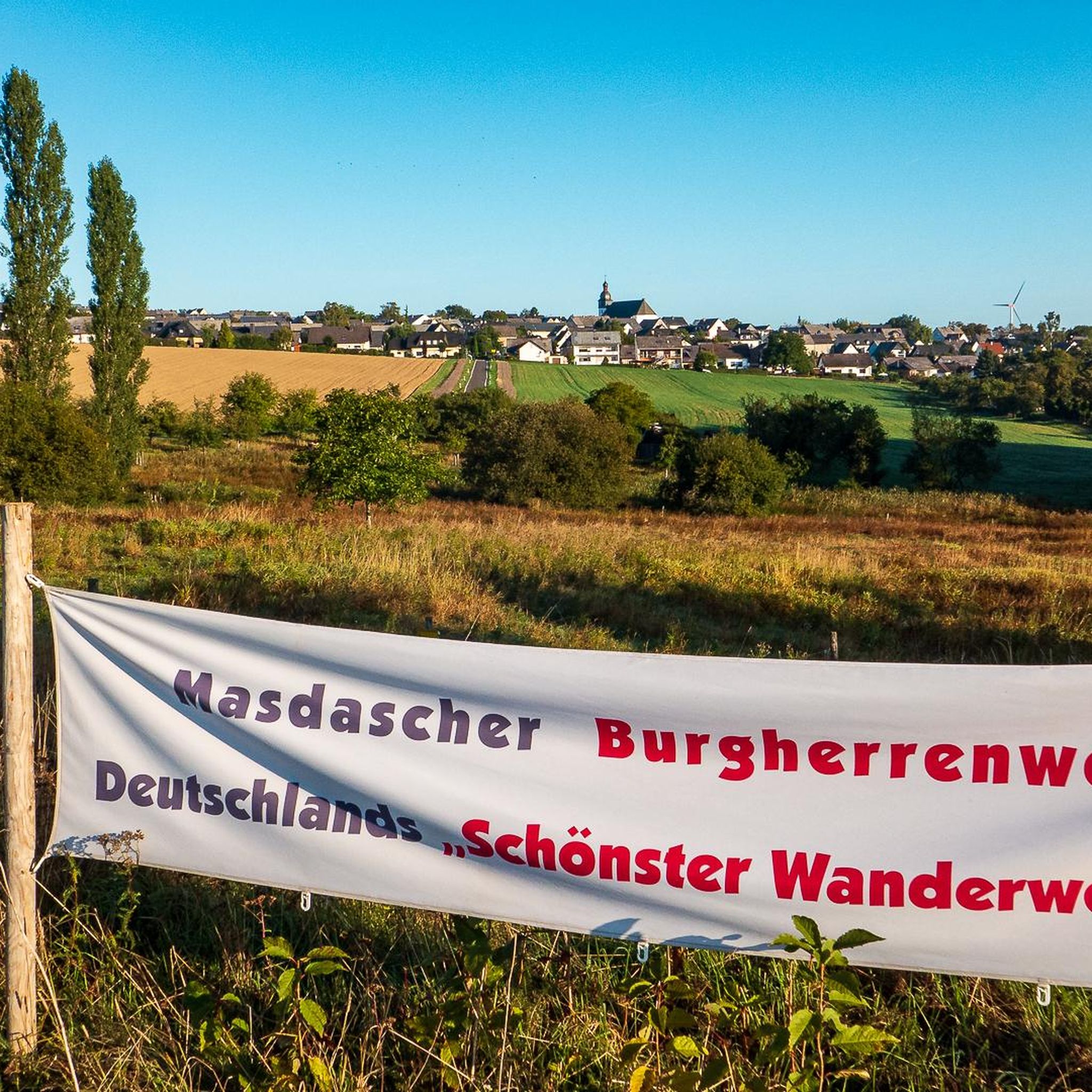
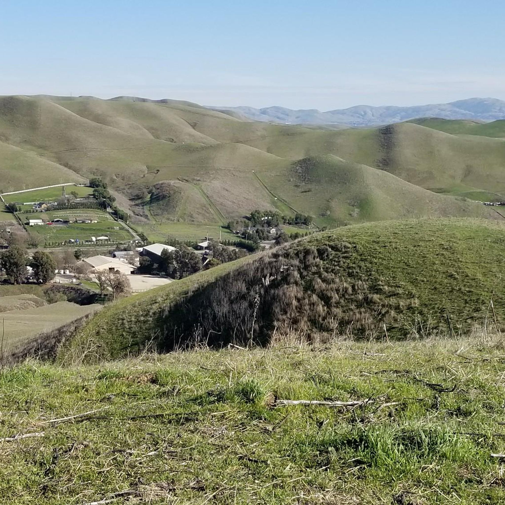
Mountain bike trails in Tassajara Creek Regional Park traverse rolling hills, open grasslands, and some wooded areas, providing a dynamic riding experience. The park serves as an access point to a broader network, including the Tassajara Ridge Trail. Riders can find shaded creek-side paths and ridgeline views, particularly of Mount Diablo. This area offers a diverse range of mountain biking experiences, from easy loops to more challenging routes with significant elevation gains.
Best mountain bike trails in Tassajara Creek Regional…
Last updated: October 11, 2026
7
riders
Moderate mountain bike ride. Good fitness required. Suitable for all skill levels.
3.0
(1)
8
riders
Moderate mountain bike ride. Good fitness required. Suitable for all skill levels.

1
riders
32.6km
02:32
500m
500m
Moderate mountain bike ride. Good fitness required. Suitable for all skill levels.
3
riders
15.6km
01:23
290m
290m
Easy mountain bike ride. Great for any fitness level. Suitable for all skill levels.
4.3
(3)
21
riders
Moderate mountain bike ride. Good fitness required. Suitable for all skill levels.
Get access to more routes and recommendations from other explorers.
Already have an account?
Our route recommendations are based on thousands of hikes, rides, and runs completed by other people on komoot.
Start today with a free account
Your next adventure awaits.


Tips from the Community

This trail is a fantastic wide path perfect for both climbing and descending. There are a few steep sections if you want to go uphill, but if you decide to ride back down, your reward is a fluid downhill ride. Climbing is manageable if you're in good shape, but don't be discouraged if you need to walk some parts, it's worth it! This is also a popular spot for hikers, so keep an eye out for others also enjoying the trail.
0
0

This stretch of Foothill Road runs between the city and Pleasanton Ridge, giving you a great feeling of being on the edge of wilderness.
0
0

Stay on the fire roads until you get your bearings...once you become familiar with the park you can explore the single/double track at your leisure...Great views of Pleasanton and Livermore in the distance!
0
0

Pleasanton Ridge Regional Park spans over 9,000 acres of forested ridge and features several viewpoints that provide stunning vistas of the surrounding area. The park has miles of trails with significant elevation changes, reaching over 1,600 feet in some areas.
1
0
This 2.71-mile trail begins at Timbercreek Road and follows the ridge line of the Dougherty Hills with beautiful views of San Ramon, the Dublin Hills, and Mount Diablo. The route ascends to 850 feet in elevation through lush tall grasses, oak trees, and various native plants, gradually descending to the trail's end at Bollinger Canyon Road.
0
0
The Tassajara Ridge Trail is a beautiful ride with rolling hills and overlooks boasting excellent views of San Ramon, Dublin, and Danville. Taking this route clockwise will give you longer, more gradual downhill sections and shorter and steeper climbs. The trail is at its best during the spring and early summer when the hills are lush green, wildflowers are blooming, and cows can be spotted grazing nearby.
0
1
This multi-use trail skirts around the southern portion of San Ramon and is popular for walkers, runners, and cyclists, with views including Camp Parks, the valley's rolling hills and various wildlife, including jackrabbits. The trail is a mix of paved and singletrack trails, with some moderate ups and downs in elevation. You can access the trail from several points within the Stonehenge Way and Holborn Way neighborhoods.
0
0

Pleasanton Ridge Regional Park spans 9,090 acres and overlooks Pleasanton and the Livermore Valley. The park features an extensive multi-use trail system that offers magnificent views of the surrounding canyons and panoramic vistas from the ridgetop.
0
0
Frequently Asked Questions
How many mountain bike trails are available in Tassajara Creek Regional Park?
There are 9 mountain bike trails available in Tassajara Creek Regional Park and the surrounding connected areas. These routes offer a diverse range of experiences, from easy loops to more challenging rides.
What kind of terrain can I expect when mountain biking in Tassajara Creek Regional Park?
You can expect varied terrain, including rolling hills, open grasslands, and some wooded areas. Many trails feature shaded creek-side paths along Tassajara Creek, while ridgeline routes offer expansive views of Mount Diablo and the surrounding cities.
Are there mountain bike trails suitable for beginners in Tassajara Creek Regional Park?
Yes, there is one easy mountain bike trail. The Tassajara Ridge Trail Loop is a 9.7-mile path that provides expansive views along the ridgeline and is suitable for those looking for a less strenuous ride.
Where can I find panoramic views while mountain biking in this region?
Many trails, particularly those along ridgelines like the Tassajara Ridge Trail, offer superb and expansive views. You can enjoy panoramic vistas of Mount Diablo and the surrounding cities. The Tassajara Ridge Trail Loop is a great option for scenic views.
Is Tassajara Creek Regional Park suitable for family mountain biking?
The park and its connected trail network offer routes with varying difficulty levels. While the park itself is a staging facility, the broader network includes easier loops that could be suitable for families. Consider the Tassajara Ridge Trail Loop for a less challenging option.
Are dogs allowed on the mountain bike trails in Tassajara Creek Regional Park?
Generally, dogs are permitted on trails in East Bay Regional Parks, which includes Tassajara Creek Regional Park and its connected trails. However, they must be on a leash and under control at all times. Always check specific trail signage for any local restrictions.
What is the best time of year to go mountain biking in Tassajara Creek Regional Park?
The rolling hills and open grasslands are particularly vibrant in spring, making it an excellent time to visit. Fall also offers pleasant temperatures. Summers can be hot, so early mornings or late afternoons are recommended, while winters can bring rain, affecting trail conditions.
Are there any loop routes for mountain biking in the area?
Yes, several loop routes are available. For example, the Tassajara Ridge and Dougherty Valley Ridge Loop is a 20.2-mile moderate ride, and the Tassajara Ridge Trail Loop is an easy 9.7-mile option.
What do other mountain bikers enjoy most about Tassajara Creek Regional Park?
The area is highly rated by the komoot community, with an average score of 4.5 stars. Reviewers often praise the varied terrain, the extensive network of trails connecting to larger systems like the Tassajara Ridge Trail, and the panoramic views, especially of Mount Diablo.
Where can I park when visiting Tassajara Creek Regional Park for mountain biking?
Tassajara Creek Regional Park itself serves as a staging facility, providing access to the broader trail network. Parking is typically available at designated staging areas within the park or at trailheads connecting to the Tassajara Ridge Trail system.
Are there any challenging mountain bike routes with significant elevation gain?
Yes, while there are no 'difficult' graded routes, several moderate routes feature notable elevation gains. For instance, the Augustin Bernal Community Park – Pleasanton Ridge viewpoint loop from Pleasanton includes over 680 meters of ascent, requiring good fitness.
Can I access Tassajara Creek Regional Park using public transport?
While Tassajara Creek Regional Park is primarily accessed by car, its connectivity to larger trail systems like the Iron Horse Trail via Dublin pathways may offer some public transport options to nearby areas. However, direct public transport to the park's staging facility might be limited.
Most popular routes in Tassajara Creek Regional Park

Get inspired with the komoot mobile app


Explore more
Browse the best MTB trails in other regions.
