The best cycling routes in Las Trampas Regional Wilderness
4.8
(84)
1,485
riders
85
rides
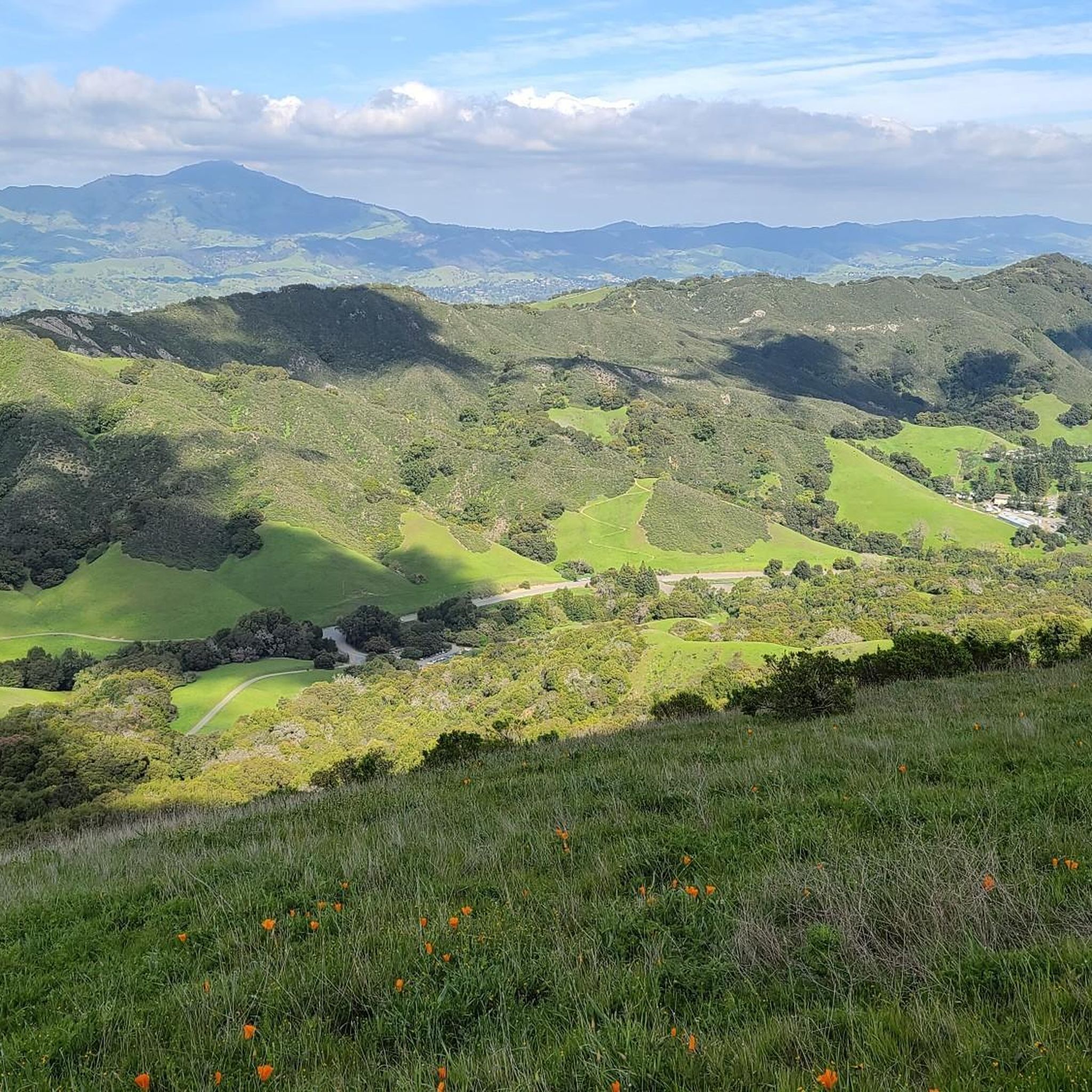
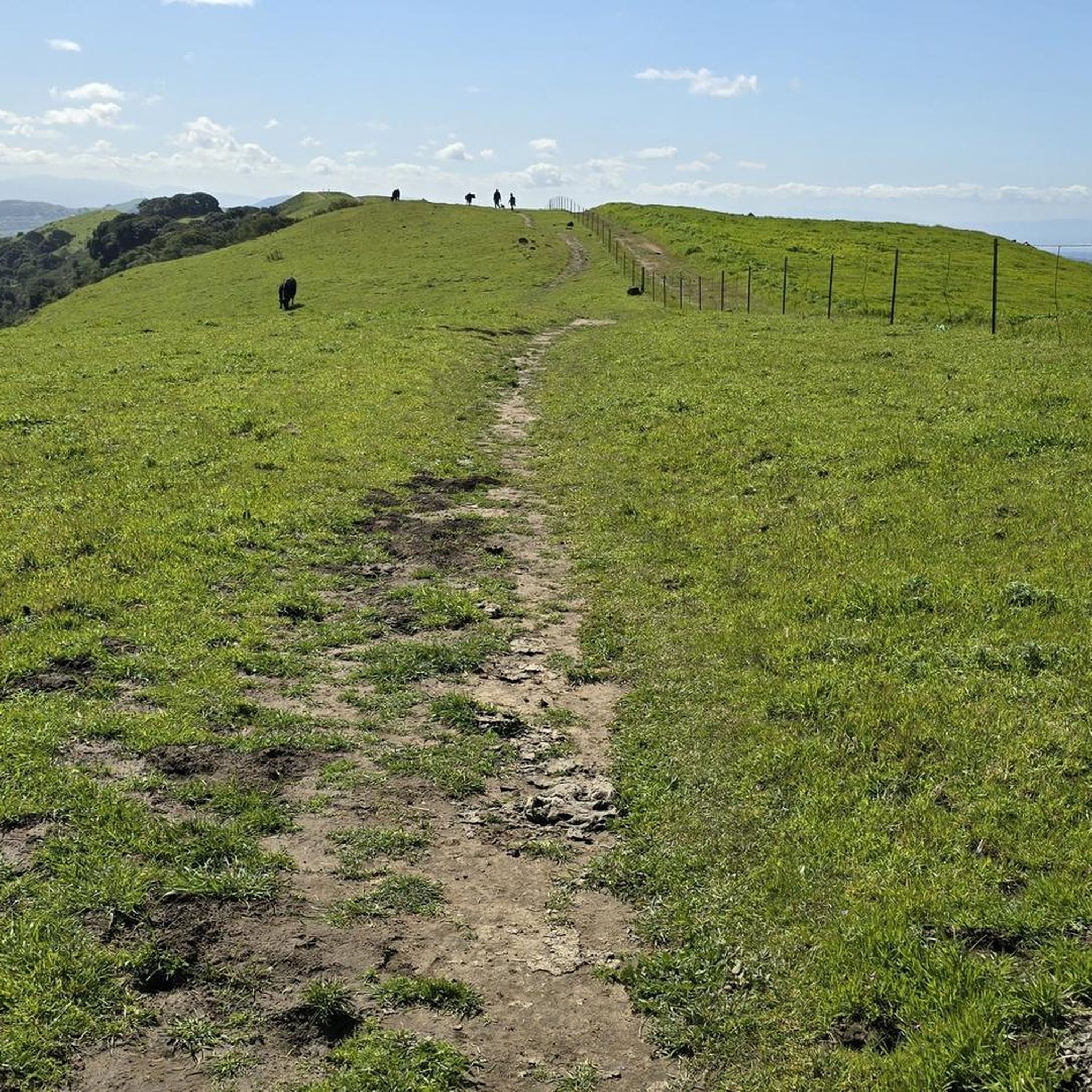
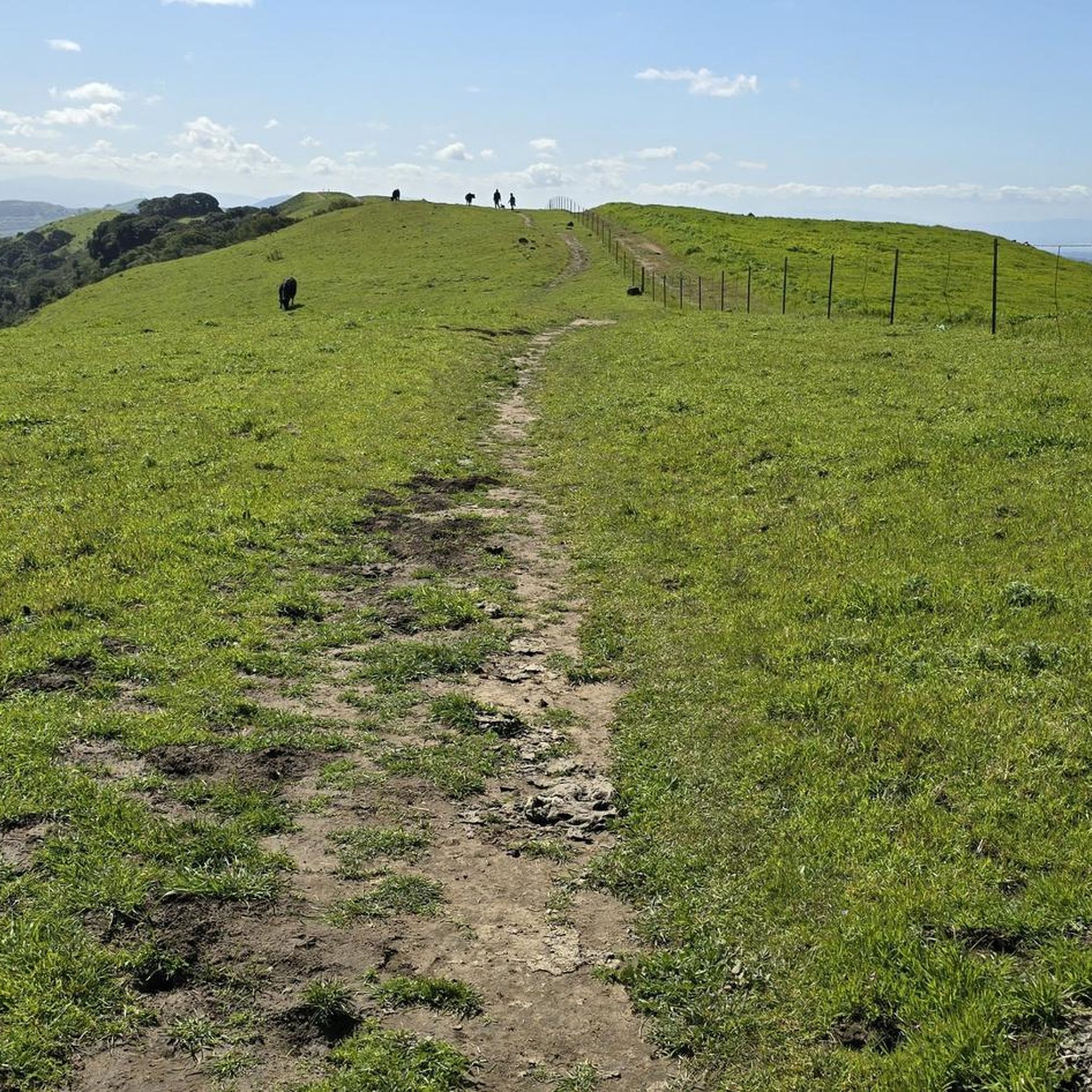
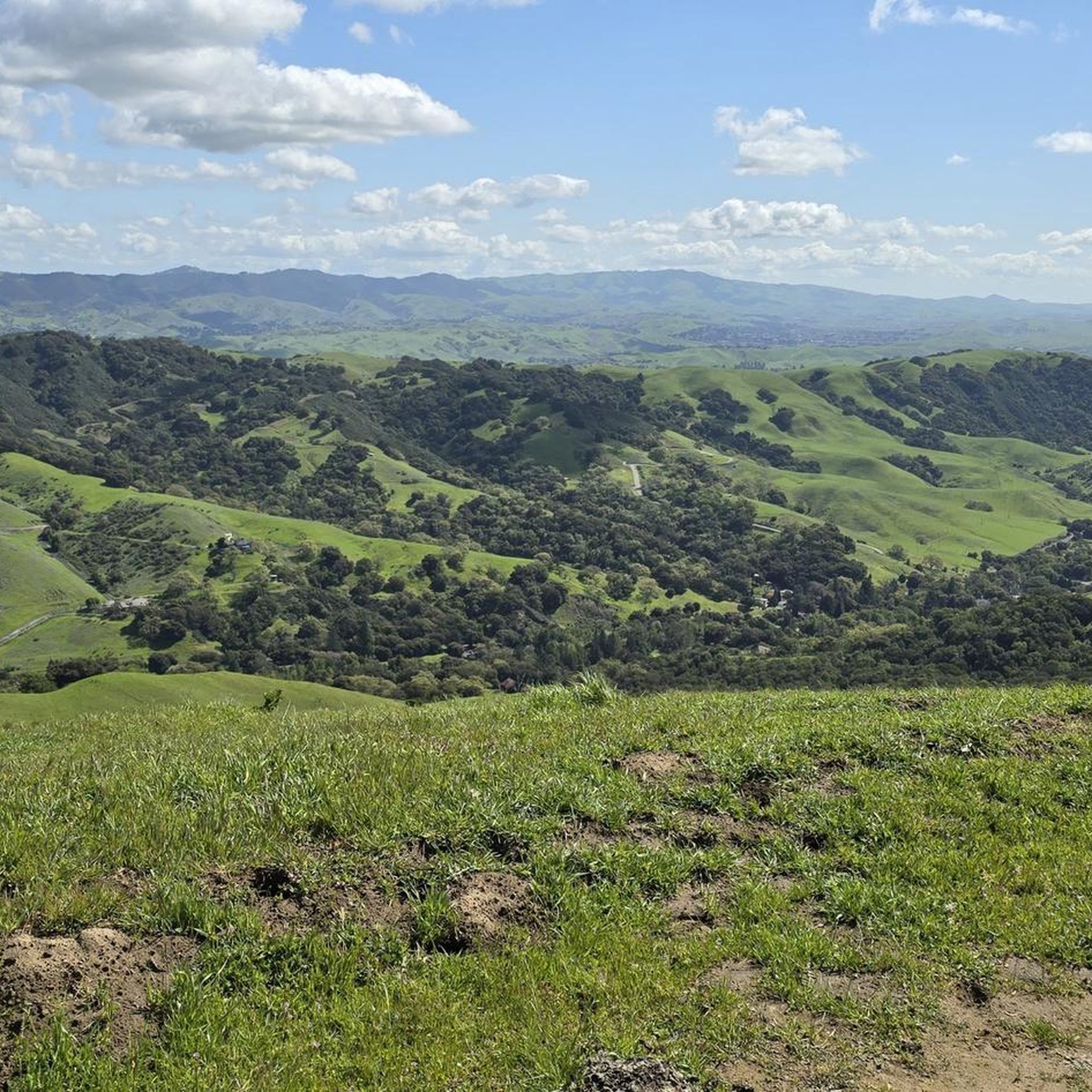
Touring cycling in Las Trampas Regional Wilderness primarily involves routes connected to the paved Iron Horse Regional Trail, as the wilderness itself features challenging, steep, and unpaved trails better suited for mountain biking. The region is characterized by two prominent ridges, Las Trampas Ridge and Rocky Ridge, offering expansive views of surrounding valleys and Mount Diablo. While internal Las Trampas bike trails difficulty elevation terrain can be significant, the area's periphery provides accessible options for touring cyclists.
Best touring cycling…
Last updated: July 1, 2026
7
riders
87.8km
05:41
1,100m
1,100m
Hard bike ride. Very good fitness required. Mostly paved surfaces. Suitable for all skill levels.
5.0
(5)
98
riders
53.2km
03:34
760m
760m
Hard bike ride. Very good fitness required. Mostly paved surfaces. Suitable for all skill levels.

Sign up for free
5
riders
57.8km
03:26
120m
120m
Moderate bike ride. Good fitness required. Mostly paved surfaces. Suitable for all skill levels.
11
riders
87.2km
05:42
1,100m
1,100m
Hard bike ride. Very good fitness required. Mostly paved surfaces. Suitable for all skill levels.
15
riders
18.9km
01:07
60m
60m
Easy bike ride. Great for any fitness level. Mostly paved surfaces. Suitable for all skill levels.
Get access to more routes and recommendations from other explorers.
Sign up for free
Already have an account?
Our route recommendations are based on thousands of hikes, rides, and runs completed by other people on komoot.
Start today with a free account
Your next adventure awaits.
Login or Signup
Popular around Las Trampas Regional Wilderness


Other adventures in Las Trampas Regional Wilderness

Tips from the Community

The Del Amigo Swim Club, officially known as the Del Amigo Pool Association, is a member-owned, nonprofit community pool that features two pools. The pool closes every year from mid‑September to March for major renovation.
0
0
The Museum of the San Ramon Valley was established in 1985 and sits in a restored 1891 Southern Pacific Railroad Depot with the Victorian-era “Combination Station No. 22” listed on the National Register of Historic Places. The Official Visitor Information Center offers maps, guides, and knowledgeable staff, along with free parking and restrooms located in the caboose.
1
0


The Iron Horse Trail is a 32-mile multi-path that connects the towns of Concord and Pleasanton. It follows the route of the abandoned Southern Pacific Railroad. With its access to schools, business centers, and parks, the path is popular with commuters and recreationalists.
1
0

This rest area is a popular stop and gathering place, with plenty of benches and a few shaded spots. It features a water fountain, bike racks, and several restaurants within easy walking distance.
1
0

The Lamorinda Trail Loop has an interesting beginning. Initially the three communities of Lafayette, Orinda and Moraga convened a committee to look at connecting themselves via trails. However, upon looking closely at existing trails they discovered a trail route already existed through the three cities and they simply need to raise funds for signage along the route. After placing the signs designating the route the trail was officially opened on August 10th, 2006.
0
0
A pedestrian bridge to cross over Ygnacio Valley Road.
1
0
Frequently Asked Questions
How many touring cycling routes are available in Las Trampas Regional Wilderness?
There are over 80 touring cycling routes available in and around Las Trampas Regional Wilderness on komoot. These routes cater to various skill levels, with 22 easy, 38 moderate, and 29 difficult options, often utilizing the paved Iron Horse Regional Trail for a smoother experience.
What is the best time of year to go touring cycling in Las Trampas Regional Wilderness?
Spring is an excellent time for touring cycling in Las Trampas Regional Wilderness, as the hillsides are vibrant with wildflowers like California poppies, lupine, and shooting stars. The weather is generally mild, making for pleasant rides. Autumn also offers comfortable temperatures and clear views.
What are the general terrain and difficulty levels for touring cycling in Las Trampas Regional Wilderness?
While the internal trails of Las Trampas Regional Wilderness are often steep and rugged, better suited for mountain biking, touring cycling routes primarily utilize the paved Iron Horse Regional Trail. This trail offers mostly flat sections, making it ideal for recreational and touring cyclists. Some routes combine the Iron Horse Trail with challenging climbs on the wilderness periphery, such as the Mount Diablo and Iron Horse Trail Loop, providing a mix of easy and difficult terrain.
Are there any easy, family-friendly touring cycling routes in the area?
Yes, there are easy touring cycling routes suitable for families, particularly those that stick to the paved Iron Horse Regional Trail. An example is the Museum of the San Ramon Valley – Iron Horse Trail loop from Alamo, which is an 18.9 km (11.7 miles) easy route through the San Ramon Valley, often completed in just over an hour.
What kind of views can I expect on touring cycling routes in Las Trampas Regional Wilderness?
Touring cycling routes in the area offer expansive and dramatic views. From the prominent Las Trampas Ridge and Rocky Ridge, you can enjoy commanding vistas of the San Ramon, Ygnacio, and Amador Valleys, Mount Diablo, the Carquinez Straits, and even the San Francisco Bay and Livermore Valley on clear days. Routes like the Mount Diablo and Iron Horse Trail Loop are known for their panoramic scenery.
Are there any circular touring cycling routes in Las Trampas Regional Wilderness?
Yes, many touring cycling routes in the area are designed as loops. For instance, the Iron Horse Trail junction – Iron Horse Trail loop from Las Trampas Regional Wilderness is a challenging 89 km (55.3 miles) route that extensively uses the Iron Horse Trail. Another option is the Inspiration Point Overlook loop, a difficult 87.2 km (54.2 miles) ride offering varied terrain.
What kind of wildlife might I encounter while cycling?
The extensive wilderness provides habitat for a variety of animals. While cycling, you might spot deer, raccoons, foxes, coyotes, opossums, bobcats, and squirrels. Birdwatching is also popular, with many species of hawks and occasional sightings of golden eagles. The chaparral habitat also supports the threatened Alameda whipsnake.
Are there any notable landmarks or points of interest along the touring cycling routes?
While the wilderness itself is the main attraction, you can find several points of interest. The park encloses the Eugene O'Neill National Historic Site, preserving the home and studio of the Nobel laureate playwright. You can also find viewpoints like Las Trampas Ridge and View from Las Trampas Peak offering stunning vistas. The Museum of the San Ramon Valley is also a point of interest along one of the easy routes.
What do other touring cyclists enjoy most about cycling in Las Trampas Regional Wilderness?
The area is highly rated by the komoot community, with an average score of 4.8 stars from over 70 reviews. Reviewers often praise the diverse landscapes, from rolling grasslands to oak woodlands, and the accessibility provided by the paved Iron Horse Regional Trail. The panoramic views of Mount Diablo and the surrounding valleys are also frequently highlighted as a major draw.
Are there options for longer distance touring cycling routes?
Yes, for longer distance touring, routes extensively utilize the Iron Horse Regional Trail, which is a 32-mile (and expanding) paved multi-use path. The Iron Horse Trail junction – Iron Horse Trail loop from Las Trampas Regional Wilderness is a challenging 89 km (55.3 miles) route, offering a substantial long-distance cycling experience.
Where can I find information about the Iron Horse Regional Trail?
The Iron Horse Regional Trail is a significant feature for touring cyclists in the region. You can find more detailed information about this extensive paved multi-use path on Wikivoyage or Wikipedia. It connects various cities in the East Bay and is ideal for recreational and touring cycling.
Most popular routes in Las Trampas Regional Wilderness
Most popular attractions in Las Trampas Regional Wilderness

Get inspired with the komoot mobile app


Explore more
Browse the best Cycling routes in other regions.
