The best running trails in Anthony Chabot Regional Park
4.5
(15)
2,017
runners
11
runs
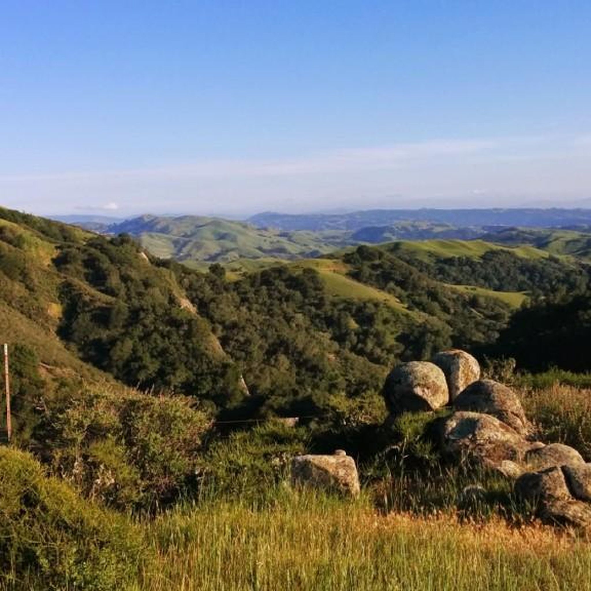
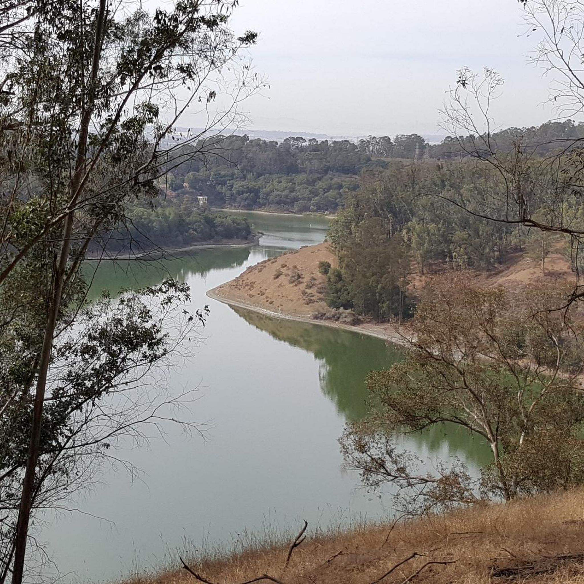
Jogging in Anthony Chabot Regional Park offers extensive trail systems winding through diverse landscapes. The park features shady eucalyptus and oak/bay woodlands, open grasslands, and serene creek canyons. Rolling hills provide varied elevation changes, with trails offering views of Lake Chabot and the surrounding area. Elevations within the park range from under 300 feet near the reservoir to over 1100 feet at the northern end, providing opportunities for challenging runs.
Best jogging routes in Anthony Chabot Regional Park
- The most popular jogging route is MacDonald and Grass Valley Trail Loop, a 5.1 miles (8.3 km) moderate trail that takes 1 hour 7 minutes to complete. This loop offers a mix of open spaces and wooded sections along Grass Valley Creek.
- Another top favourite among local runners is Grass Valley Trail, a moderate 3.3 miles (5.3 km) path. This route leads through lush meadows and densely wooded areas.
- Local runners also love the East Bay Skyline National Recreation Trail, a 7.1 miles (11.4 km) trail leading through varied woodlands and offering significant elevation gain, often completed in about 1 hour 31 minutes.
- Jogging in Anthony Chabot Regional Park is defined by diverse woodlands, rolling hills, and scenic lake views. The extensive network offers options for different ability levels, from gentle paths to challenging ascents.
- The routes in Anthony Chabot Regional Park are highly rated by the komoot community with an average score of 4.6 stars from over 15 reviews. More than 2200 runners have used komoot to explore Anthony Chabot Regional Park's varied terrain.
Last updated: July 7, 2026
6
runners
8.26km
01:07
270m
270m
Embark on the MacDonald and Grass Valley Trail Loop for a moderate jogging experience that spans 5.1 miles (8.3 km) with an elevation gain of 901 feet (274 metres). This route typically takes about 1 hour and 7 minutes to complete, offering a dynamic shift in scenery as you move. You will jog through sunny, open grassy areas like Bort Meadow, then transition into densely wooded sections featuring eucalyptus and scattered redwood trees. The trail climbs through a wooded canyon, crosses a distinct ridge, and descends through oak trees and grassland, even passing a charming stone bridge along the way. It is a varied and engaging run for those seeking a good workout.
When planning your visit, you will find parking generally available at the MacDonald Staging Area, which serves as a convenient starting point for your loop. This trail is a popular spot for locals, and you will often see people walking their dogs, making it a welcoming environment if you wish to bring your canine companion. There are no specific warnings about road closures or permits needed for this trail, so you can easily access it for your jogging adventure.
Located within Anthony Chabot Regional Park, the MacDonald and Grass Valley Trail Loop stands out for its engaging terrain and scenic views, particularly along the MacDonald Trail section. This part of the route adds some climbing, which contributes to the overall moderate difficulty and provides a satisfying challenge. The blend of open fields and shaded woodlands makes it a refreshing escape, offering a diverse natural environment for your jogging routine.
4
runners
5.29km
00:39
70m
70m
Embark on the Grass Valley Trail for a moderate jogging experience that blends diverse landscapes. You will navigate 3.3 miles (5.3 km) with an elevation gain of 235 feet (72 metres), typically completed in about 39 minutes. The route offers a striking contrast, moving from the sunny, open grasslands of Bort Meadow into densely wooded sections. Here, you will find yourself among fragrant eucalyptus groves and even scattered redwood trees. This engaging mix of environments makes for a varied and interesting run, allowing you to enjoy distinct natural settings.
Planning your visit to the Grass Valley Trail is straightforward. The route is generally considered easy, making it suitable for a relaxed jogging session. You can expect parking to be readily available within Anthony Chabot Regional Park. There are no specific warnings like road closures or permit requirements noted for this trail. If you are looking for a longer or more challenging run, the Grass Valley Trail conveniently connects to the MacDonald Trail.
This trail stands out for its unique combination of natural environments within a relatively short loop. You will experience both expansive, sun-drenched meadows and cool, shaded woodlands. The presence of eucalyptus groves and scattered redwood trees adds to the distinct character of the area. This striking blend of scenery offers a refreshing change of pace, making it a notable option for joggers in Anthony Chabot Regional Park.

Sign up for free
1
runners
6.69km
00:50
100m
100m
Jog the moderate 4.2-mile Goldenrod and Cascade Trail Loop in Lake Chabot Regional Park, featuring lake views and lush creek sections.
1
runners
11.4km
01:31
320m
320m
Jog the challenging 7.1-mile East Bay Skyline National Recreation Trail, featuring diverse terrain and panoramic views.
34
runners
12.0km
01:32
230m
220m
Moderate run. Good fitness required. Mostly paved surfaces. Suitable for all skill levels.
Get access to more routes and recommendations from other explorers.
Sign up for free
Already have an account?
Our route recommendations are based on thousands of hikes, rides, and runs completed by other people on komoot.
Start today with a free account
Your next adventure awaits.
Login or Signup
Popular around Anthony Chabot Regional Park


Other adventures in Anthony Chabot Regional Park

Tips from the Community

Beautiful open trail that is a blend of grassland, chaparral, and eucalyptus. I've seen coyotes, snakes, lizards and more here on a fairly frequent basis – so be sure to enjoy the nature when you pass through. NOTE: This is part of the East Bay Skyline National Trail (official FKT route)
0
0
Set back slightly from the trail, this bench provides views into the redwoods at all times of the day. A welcome rest stop for folks heading up the East Ridge.
0
0

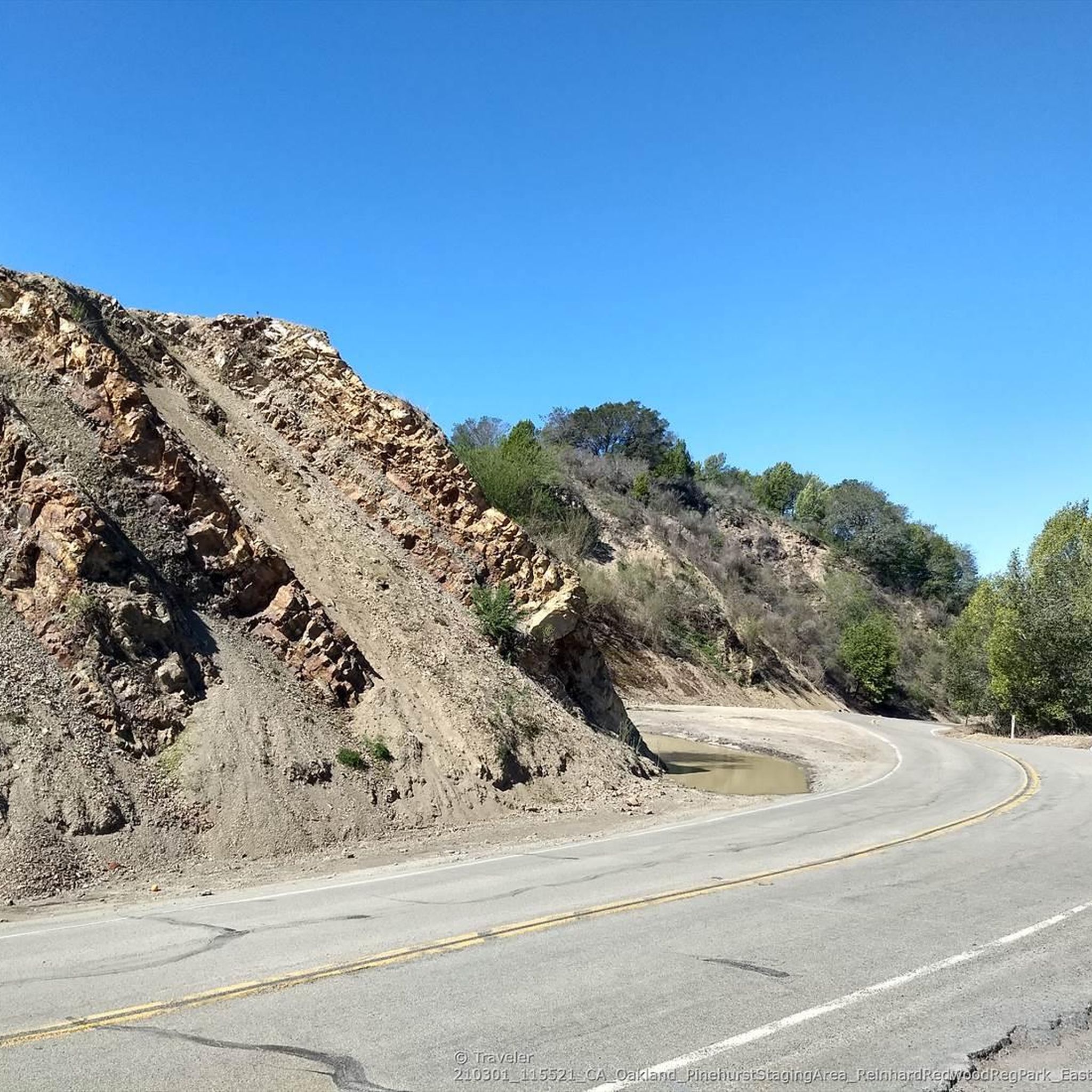
The East Ridge Overlook offers wonderful panoramic views of the Reinhardt-Redwood Regional Park.
0
0

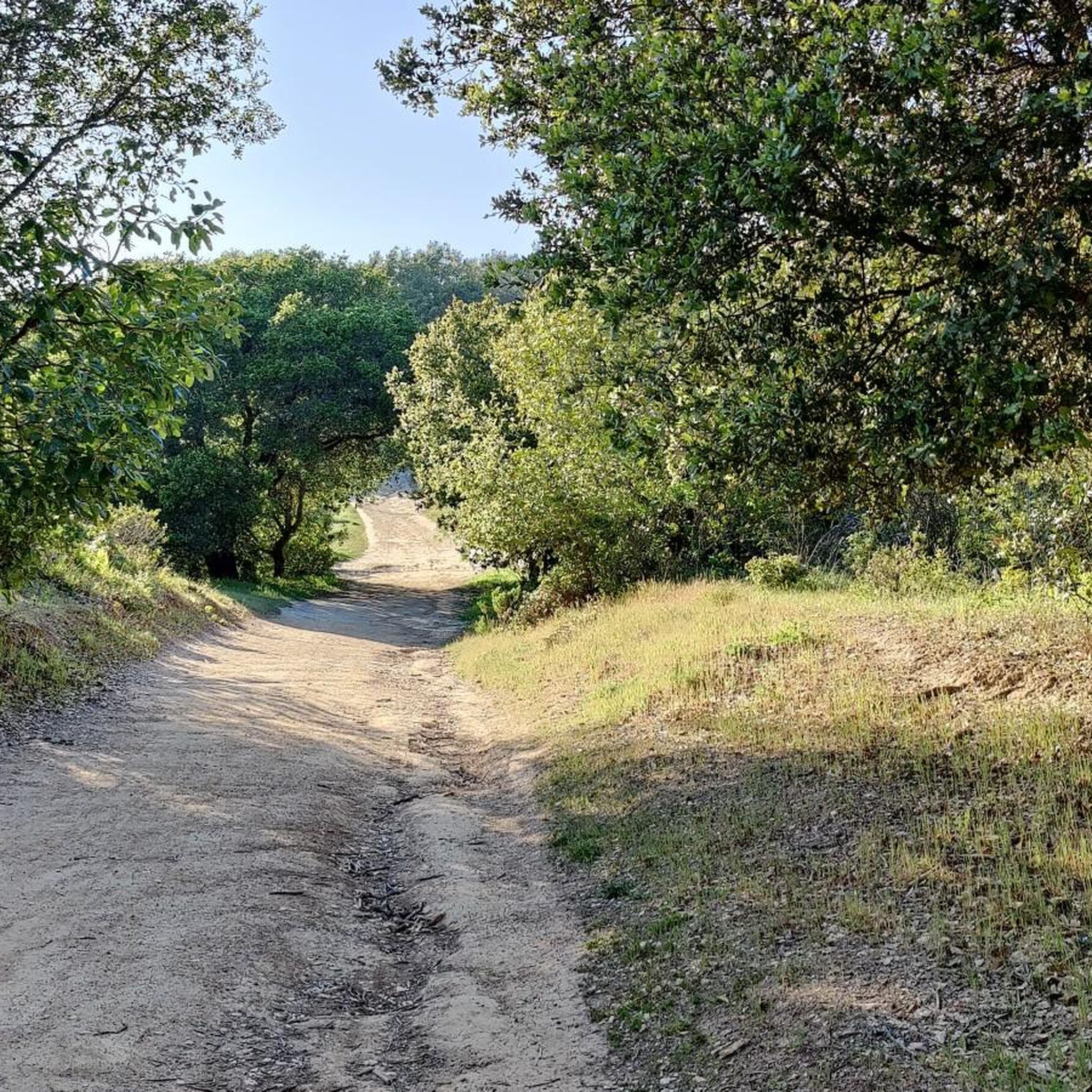
The Grass Valley Trail is a popular path for mountain bikers, hikers and runners in Anthony Chabot Regional Park. The trail passes through a variety of landscapes, including dense forest and open meadows.
0
0
The MacDonald Trail is a beautiful trail that leads into Anthony Chabot Regional Park. There is a fair amount of elevation gain, but it is worth it for the great views of the nearby hills and the Upper San Leandro Reservoir.
0
0
This trail gives great views of the canyon and, when there has been rain, a cascade. The trail has some elevation gain, but it is well graded, so it is not too challenging a path.
0
0
This trail is a popular mountain biking, hiking and running trail. It goes through rolling hills and, at times, gives you great views of the lakes in the area.
0
0

From the wide Forest Road trail on East Ridge this singletrack trail leads down into the Redwood park main area. Fun descent on a good width.
0
0
Frequently Asked Questions
How many running routes are available in Anthony Chabot Regional Park?
Anthony Chabot Regional Park offers a wide selection of running routes, with over 120 different tours available on komoot. These routes cater to various fitness levels, ranging from easy paths to more challenging trails.
What kind of terrain can I expect on the running trails in Anthony Chabot Regional Park?
Runners in Anthony Chabot Regional Park will encounter diverse terrain, including shady eucalyptus and oak/bay woodlands, open grasslands, and serene creek canyons. The park features rolling hills with significant elevation changes, offering both moderate paths and challenging climbs. You'll also find picturesque views of Lake Chabot along many trails.
Are there any easy or beginner-friendly jogging routes in the park?
Yes, the park has options suitable for beginners. While many routes involve rolling hills, there are 11 easy tours available. For example, the Ten Hills Trail is a moderate 3.3-mile shaded dirt path with manageable elevation gain, suitable for various fitness levels.
Which running routes offer the most challenging climbs and elevation gains?
For those seeking a challenge, Anthony Chabot Regional Park features 39 difficult routes. The Redwood Peak loop is an 8.3-mile difficult trail with significant elevation gain through varied woodlands. The Redtail Trail is also known for its steep climbs up to ridges, rewarding joggers with great panoramic views.
Are there any circular running routes in Anthony Chabot Regional Park?
Yes, many of the park's trails are designed as loops, providing varied scenery without retracing your steps. A popular option is the MacDonald and Grass Valley Trail Loop, a moderate 5.1-mile path that offers a mix of open spaces and wooded sections along Grass Valley Creek.
What natural features or landmarks can I see while running in the park?
Joggers can enjoy a variety of natural features, including extensive eucalyptus groves, oak/bay woodlands, and serene creek canyons. Many trails offer scenic views of Lake Chabot. You might also spot scattered second-growth redwoods. Specific highlights include the Grass Valley Trail and the Brandon Trail, both known for their scenic beauty.
Is Anthony Chabot Regional Park suitable for family-friendly running or walking?
Yes, the park offers trails that are suitable for families. While some routes have significant elevation, there are easier paths through woodlands and open spaces that can be enjoyed by various age groups. The diverse landscapes and scenic views make it an enjoyable experience for all.
Are dogs allowed on the running trails in Anthony Chabot Regional Park?
Anthony Chabot Regional Park is generally dog-friendly, allowing dogs on most trails. However, it's always recommended to check specific trail regulations and keep dogs on a leash to ensure the safety and enjoyment of all park visitors and wildlife.
What is the best time of year to go running in Anthony Chabot Regional Park?
The park is enjoyable year-round, but spring is particularly beautiful when the open hills come alive with an abundance of wildflowers. The diverse woodlands also provide shade on sunny days, making it pleasant during warmer months. Fall offers cooler temperatures and changing foliage.
Are there water sources or facilities available along the trails?
Water is available at several trailheads within Anthony Chabot Regional Park, allowing for planned water stops during longer runs. The park also offers camping facilities for those looking to extend their outdoor experience.
What do other runners enjoy most about jogging in Anthony Chabot Regional Park?
The running routes in Anthony Chabot Regional Park are highly rated by the komoot community, with an average score of 4.6 stars from over 20 reviews. Runners often praise the diverse woodlands, rolling hills, and scenic lake views, as well as the extensive network of trails that offer options for different ability levels.
Does the park connect to other regional parks for longer running adventures?
Yes, Anthony Chabot Regional Park is part of a larger network, providing easy trail access to adjacent Reinhardt Redwood and Lake Chabot Regional Parks. The East Bay Skyline National Trail, a 31-mile path, runs the length of the park, connecting to other East Bay hills for extended running adventures.
Most popular routes in Anthony Chabot Regional Park
Most popular attractions in Anthony Chabot Regional Park

Get inspired with the komoot mobile app


Explore more
Browse the best Running Trails & Routes in other regions.
