The best road cycling routes in Diablo Foothills Regional Park
4.5
(101)
3,493
riders
97
rides
Road cycling in Diablo Foothills Regional Park features a landscape of rolling hills, open valleys, and established paved trails. The region is characterized by varied terrain, including areas around reservoirs and dedicated bike paths. Elevations are generally moderate, with some routes offering climbs to overlooks.
Best road cycling routes in Diablo Foothills Regional Park
- The most popular road cycling route is Livermore Valley Overlook loop from Diablo Foothills Regional Park, a 10.7 miles (17.3 km) trail that takes 1…
Last updated: August 18, 2026
4.7
(3)
359
riders
59.8km
03:58
1,580m
1,580m
Hard road ride. Very good fitness required. Mostly well-paved surfaces and easy to ride.
8
riders
Moderate road ride. Good fitness required. Mostly well-paved surfaces and easy to ride.

Sign up for free
4.8
(4)
575
riders
59.9km
03:22
1,200m
1,200m
Hard road ride. Very good fitness required. Mostly well-paved surfaces and easy to ride.
4.0
(2)
74
riders
63.8km
03:06
790m
790m
Moderate road ride. Good fitness required. Mostly well-paved surfaces and easy to ride.
58
riders
31.1km
01:39
520m
520m
Moderate road ride. Good fitness required. Mostly well-paved surfaces and easy to ride.
Get access to more routes and recommendations from other explorers.
Sign up for free
Already have an account?
Our route recommendations are based on thousands of hikes, rides, and runs completed by other people on komoot.
Start today with a free account
Your next adventure awaits.
Login or Signup

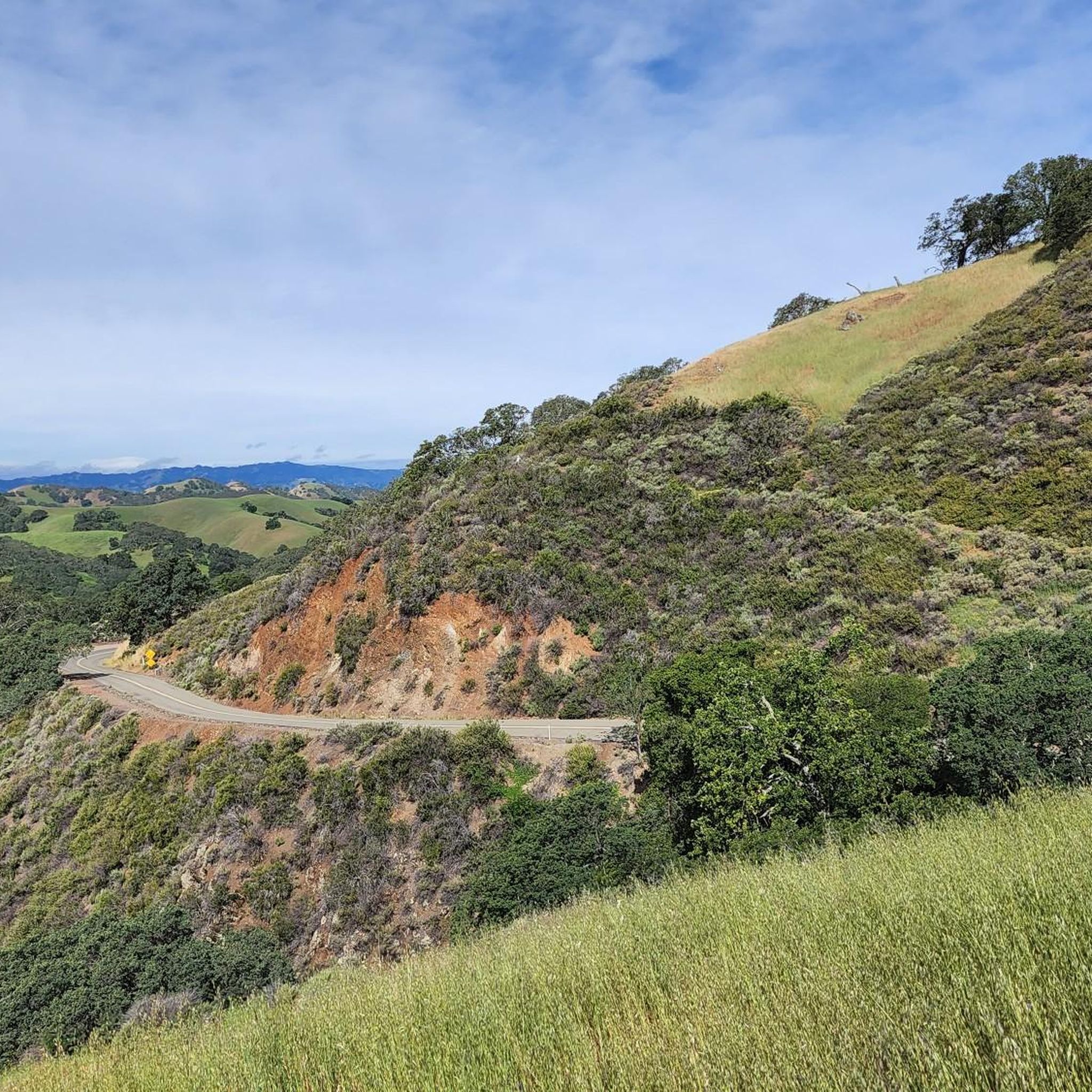
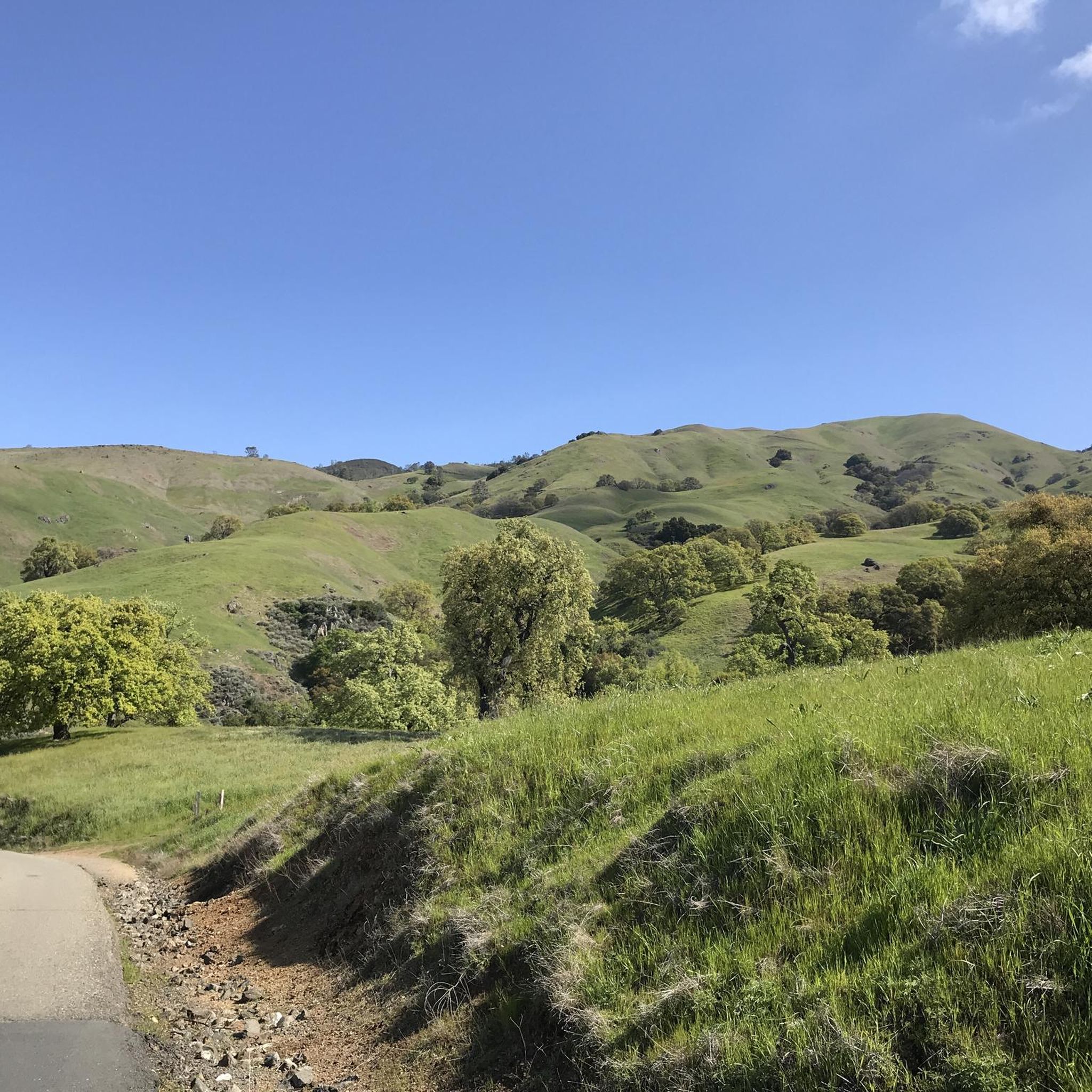
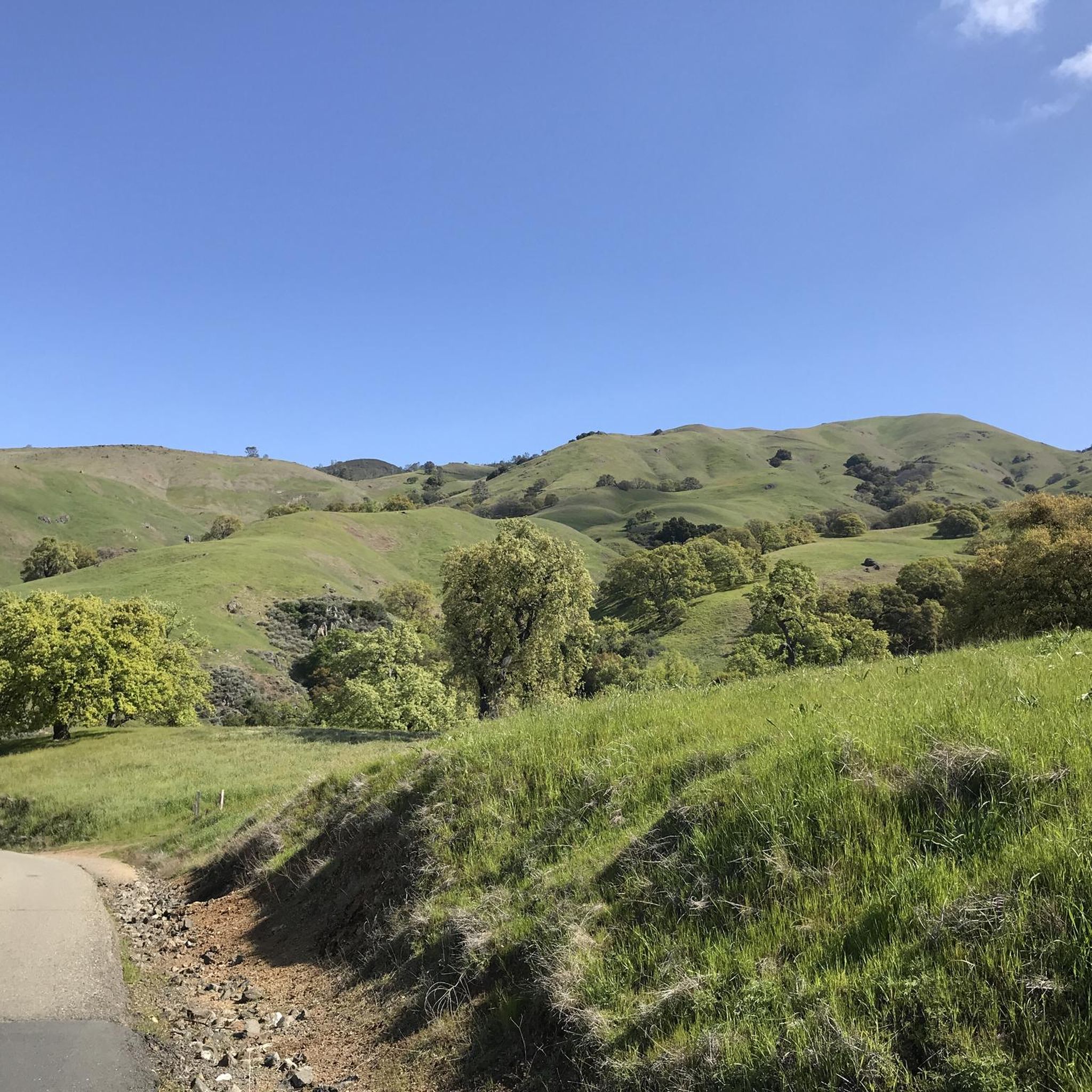
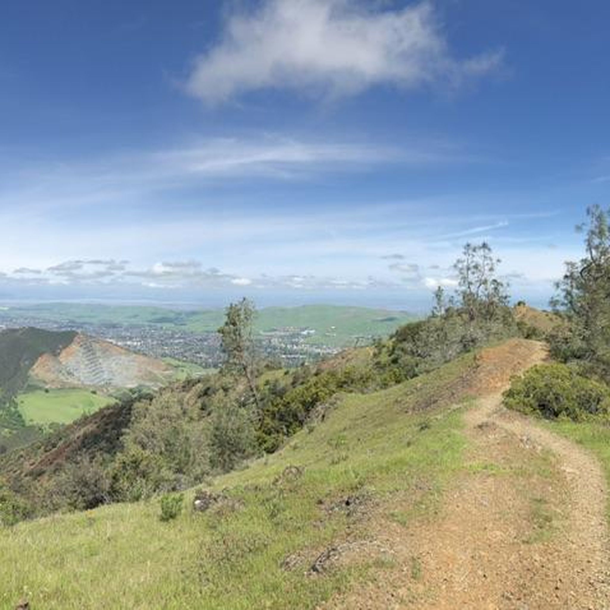

Other adventures in Diablo Foothills Regional Park

Tips from the Community

Mount Diablo, is the Bay Area second-highest peak at 1173m (3849ft). The challenging climb features constantly fluctuating gradients averaging 8%, with tough sections up to 18% and a brutal 23% finish in the last 200m. The equally demanding descent requires good bike handling due to tight corners, potholes, and strong winds. The road to the top is open daily from 8 AM till sunset.
0
0

There are a bunch of great hiking and biking trails around the reservoir. Some, like the Shore Trail, are two-lane paved cycleways with no vehicle traffic, and others are unpaved dirt roads up in the hills. All are beautiful trails to explore on two wheels!
0
0
Here on the Lamorinda Bikeway signage helps you to follow the scenic route. You can continue along El Nido Ranch Road to stay on the bikeway, or head up Upper Happy Valley toward Briones Regional Park.
0
0

The Lafayette Reservoir Recreation Area is a year-round park with a 2.7 paved walkway around the reservoir. Looking around at the surrounding hills makes you forget you're in the middle of a Bay Area suburb.
0
0
Leigh Creekside Park is a small park that is just over an acre in size. The park is a nice resting spot just off the Lafayette-Moraga Trail and features picnic tables, a drinking fountain, and plenty of shade
0
0

The Lamorinda Trail Loop passes through Orinda, Moraga, and Lafayette. The loop spans 17.5 miles in total, mostly flat and paved, with parking available in downtown Orinda or El Nido Ranch Road. The St. Stephen's Trail is 1.2 miles, suitable for pedestrians, bikes, dogs, and wheelchairs.
0
1
The Lafayette-Moraga Regional Trail is a 7.65-mile paved path for hiking, biking, and horseback riding, open from 5 a.m. to 10 p.m. daily. Paralleling St. Mary's Road, the trail connects Lafayette and Moraga, passing through the scenic Moraga Valley. It is a historical route for mule and steam trains transporting redwood lumber. The trail starts at Olympic Boulevard in Lafayette and ends at the Valle Vista staging area near the San Leandro Reservoir. Along the way, it links to schools, parks, and commercial areas and is maintained by the East Bay Regional Park District.
0
0

Lafayette is a city in Contra Costa County, California, with a population of 25,391 as of 2020. Named after the Marquis de Lafayette, a French officer in the American Revolutionary War, landmarks include the Lafayette Library and Learning Center, Oakmont Memorial Park, and the Cross of Lafayette Memorial, a somewhat controversial tribute to U.S. soldiers who died in Iraq. Lafayette is also home to the historic Park Theater, which closed in 2005 but is currently being considered for reopening. This is a great town to pass through, or start and/or end a ride.
0
0
Frequently Asked Questions
What is the general difficulty level of road cycling routes in Diablo Foothills Regional Park?
Diablo Foothills Regional Park offers a diverse range of road cycling routes. You'll find many easy paths, with 42 routes categorized as easy, alongside 34 moderate routes and 13 more challenging options for experienced riders. The terrain includes rolling hills and open valleys, providing variety for all skill levels.
Are there beginner-friendly road cycling routes in Diablo Foothills Regional Park?
Yes, Diablo Foothills Regional Park is very welcoming for beginners, with 42 easy road cycling routes available. A great option is the Black Hills Reservoir – Blackhawk Road Bike Path loop from Alamo, an easy 10.1-mile (16.3 km) path that offers scenic reservoir views and dedicated paved bike paths.
Are there challenging road cycling routes for experienced riders in Diablo Foothills Regional Park?
For experienced road cyclists seeking a challenge, Diablo Foothills Regional Park features 13 difficult routes. The Livermore Valley Overlook loop from Diablo Foothills Regional Park is a moderate route with significant elevation gain, leading to rewarding scenic viewpoints over 10.7 miles (17.3 km).
What is the typical length of road cycling routes in Diablo Foothills Regional Park?
Road cycling routes in Diablo Foothills Regional Park vary in length. You can find shorter loops like the Black Hills Reservoir – Blackhawk Road Bike Path loop from Alamo at 10.1 miles (16.3 km), to longer rides such as the Livermore loop, which covers over 47 miles (76 km).
Are there family-friendly road cycling routes in Diablo Foothills Regional Park?
Many of the easy and moderate routes in Diablo Foothills Regional Park are suitable for families. Routes that utilize dedicated paved bike paths, such as sections of the Iron Horse Trail, are particularly good choices for a relaxed family ride. The park's rolling hills offer gentle inclines without being overly strenuous.
What is the best time of year for road biking in Diablo Foothills Regional Park?
The Diablo Foothills Regional Park area generally offers pleasant road cycling conditions for much of the year. Spring and fall provide mild temperatures and beautiful scenery. Summers can be warm, so early morning or late afternoon rides are often preferred. Winters are typically mild, though occasional rain may occur.
Are there loop trails for road cycling in Diablo Foothills Regional Park?
Yes, many road cycling routes in Diablo Foothills Regional Park are designed as loops, allowing you to start and end at the same point. Examples include the Livermore Valley Overlook loop from Diablo Foothills Regional Park and the Iron Horse Trail – Iron Horse Trail bridge loop from Contra Costa Centre.
What scenic viewpoints can I expect along road cycling routes in Diablo Foothills Regional Park?
Road cycling routes in Diablo Foothills Regional Park often lead to scenic overlooks, especially those with elevation gain. The Livermore Valley Overlook loop, for instance, is known for its rewarding views. The park's rolling hills and open valleys provide numerous opportunities for panoramic vistas of the surrounding landscape.
What do other road cyclists enjoy most about road cycling in Diablo Foothills Regional Park?
The area is highly rated by the komoot community, with an average score of 4.5 stars from over 80 reviews. Road cyclists often praise the varied terrain, from dedicated paved paths to routes with challenging climbs, and the beautiful natural scenery of rolling hills and open valleys.
Are there any interesting landmarks or natural features to see along the road cycling routes?
Yes, Diablo Foothills Regional Park offers several interesting natural features. You can explore the unique Sandstone caves in Castle Rock formations or the striking Sandstone Formations With Holes. The Castle Rock Recreation Area is also a notable point of interest.
Which trailheads are popular starting points for road cycling in Diablo Foothills Regional Park?
Popular starting points for road cycling in the area include Diablo Foothills Regional Park itself, as well as nearby towns like Alamo and Contra Costa Centre. Routes like the Black Hills Reservoir – Blackhawk Road Bike Path loop starts from Alamo, and the Iron Horse Trail – Iron Horse Trail bridge loop begins from Contra Costa Centre.
Most popular routes in Diablo Foothills Regional Park
Most popular attractions in Diablo Foothills Regional Park

Get inspired with the komoot mobile app


Explore more
Browse the best Road cycling routes in other regions.
