The best cycling routes in Mount Burdell Open Space Preserve
4.8
(40)
415
riders
43
rides
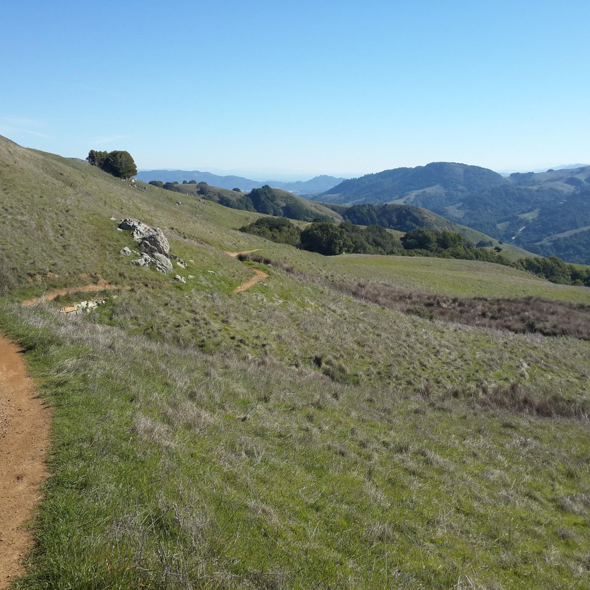
Touring cycling in Mount Burdell Open Space Preserve offers routes through varied terrain, including open grasslands, dense woodlands, and classic California oaklands. The preserve features an extensive network of fire roads suitable for touring cyclists, with options ranging from lower slopes to ascents towards the 1,558-foot summit. Cyclists can experience panoramic views of the San Francisco Bay Area and encounter seasonal wildflowers during spring. The landscape combines natural beauty with accessible trails for diverse cycling experiences.
Best touring cycling routes in Mount Burdell Open Space Preserve
- The most popular touring cycling route is Petaluma Blvd South Bikeway – Olompali State Historic Park loop from Marin Museum of the American Indian, a 27.9 miles (44.9 km) trail that takes 2 hours 40 minutes to complete. This moderate route traverses diverse landscapes, offering a blend of natural features and historical elements.
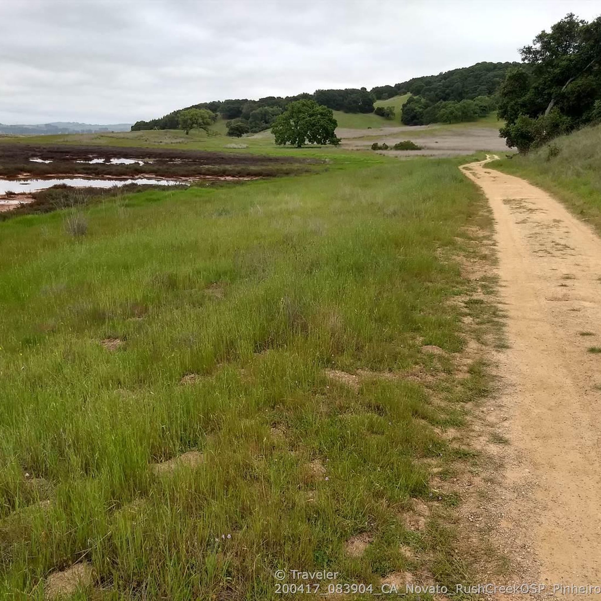
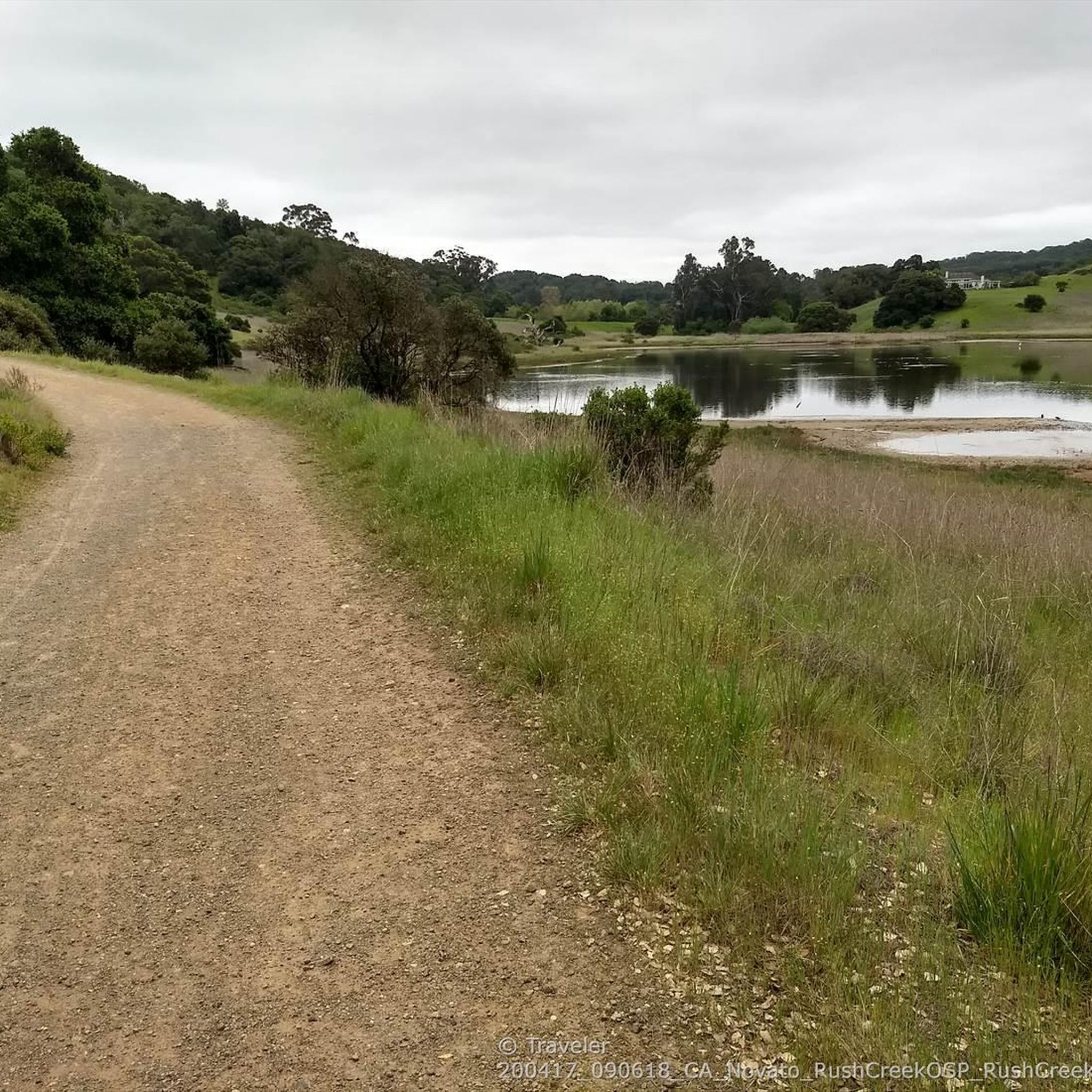
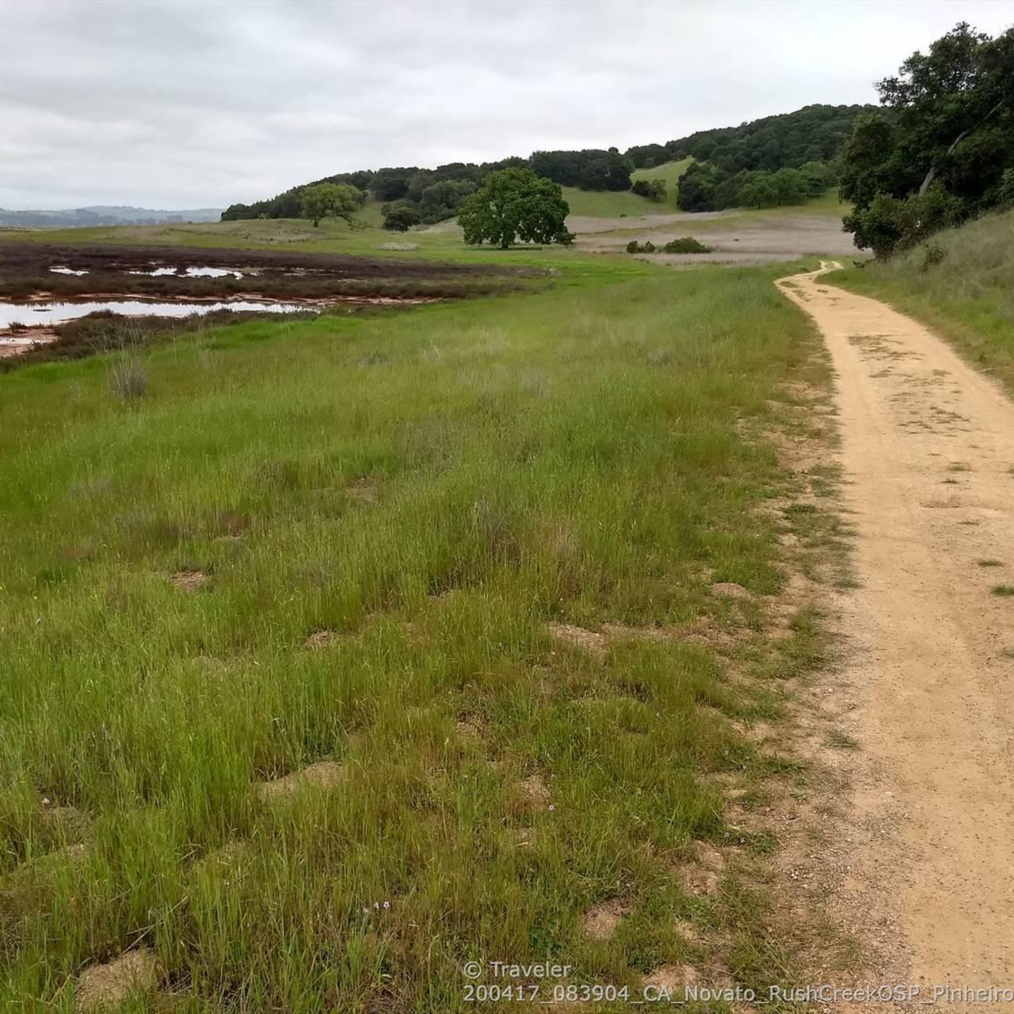
- Another top favourite among local touring cyclists is Rush Creek and Bahia Trail Loop, a moderate 11.7 miles (18.9 km) path. This route provides views of the surrounding natural environment, including grasslands and seasonal streams.
- Local touring cyclists also love the Enfrente Pathway – Nicasio Reservoir loop from Novato San Marin, a 35.2 miles (56.6 km) trail leading through varied terrain and offering expansive views, often completed in about 3 hours 27 minutes.
- Touring cycling in Mount Burdell Open Space Preserve is defined by open grasslands, oak woodlands, and panoramic views from its hills. The network offers options for different ability levels, from gently graded fire roads to more challenging ascents.
- The routes in Mount Burdell Open Space Preserve are highly rated by the komoot community with an average score of 4.6 stars from over 28 reviews. More than 325 touring cyclists have used komoot to explore Mount Burdell Open Space Preserve's varied terrain.
Last updated: October 11, 2026
5.0
(1)
19
riders
Moderate bike ride. Good fitness required. Mostly paved surfaces. Suitable for all skill levels.
7
riders
Easy bike ride. Great for any fitness level. Mostly paved surfaces. Suitable for all skill levels.

4
riders
16.0km
00:57
110m
110m
Easy bike ride. Great for any fitness level. Mostly paved surfaces. Suitable for all skill levels.
4
riders
18.9km
01:26
160m
160m
Explore the Rush Creek and Bahia Trail Loop, a moderate 11.7-mile touring cycling route near Novato, featuring marsh and oak landscapes.
5.0
(1)
14
riders
56.5km
03:27
520m
520m
Hard bike ride. Very good fitness required. Mostly paved surfaces. Suitable for all skill levels.
Get access to more routes and recommendations from other explorers.
Already have an account?
Our route recommendations are based on thousands of hikes, rides, and runs completed by other people on komoot.
Start today with a free account
Your next adventure awaits.

Tips from the Community

This historic site is named in the Coastal Miwok language, and features a building constructed by a Miwok chief in 1776. The Battle of Olómpali took place here in 1846, during a brief revolt for California's independence which lasted for less than a month.
1
0

Created by the construction of Seeger Dam on the Nicasio Creek in 1961, this shallow reservoir covers 845 acres and is part of the Marin Municipal Water District
0
0
The Dixie Schoohouse dates back to 1864, it has been in continuous use since its construction, making it the oldest in Marin County. It was listed on the National Register of Historic Places in 1972.
1
0

Nice stop for a rest, there are port o potties and a general store for goodies!
1
0

Atherton Avenue connects downtown Novato to Highway 37 and is a popular shortcut road for cars and bicycles. It has a nice wide bike lane, offering a safe, direct passage without worrying about heavy traffic and a longer route on Highway 101.
0
0
This is a nice small neighborhood park with an open space lawn area next to a lovely playground surrounded by paved pathways perfect for cycling. There are benches, picnic tables and a drinking fountain with a water bottle filler.
1
0
This trail runs along the edge of the Petaluma River wetlands and is a popular multi-use trail, so keep an eye out for others on the trail. The wetlands are an important area for wildlife, and are currently undergoing habitat restoration to improve conditions for native plants & animals.
0
0

The downtown area of Novato stretches along Grant Avenue, with the Old town from the Train Station west to Redwood Boulevard, and more recent development a couple blocks further west.
0
0
Frequently Asked Questions
How many touring cycling routes are available in Mount Burdell Open Space Preserve?
Mount Burdell Open Space Preserve offers over 35 touring cycling routes, catering to various skill levels and preferences. These routes traverse diverse landscapes, from open grasslands to dense woodlands.
What types of terrain can I expect on touring cycling routes in Mount Burdell Open Space Preserve?
Cyclists can expect a varied terrain, including wide fire roads, open grasslands, dense woodlands, and classic California oaklands. While many trails are suitable for touring, some sections may be unpaved, steep, or rocky, especially on ascents to higher elevations. Routes like the San Marin and Big Tank Fire Roads offer relatively flat options on lower slopes.
Are there any family-friendly touring cycling routes in Mount Burdell Open Space Preserve?
Yes, there are routes suitable for families. Gently graded fire roads, such as the Deer Camp Fire Road, pass through classic California oakland and are often described as easy, making them suitable for various fitness levels. It's advisable to check individual route descriptions for specific difficulty and terrain details.
What are some notable landmarks or viewpoints I can experience while cycling in the preserve?
From the 1,558-foot summit of Mount Burdell, cyclists can enjoy sweeping panoramic views of the San Francisco Bay Area, including Big Rock Ridge, Mount Tamalpais, and Mount Diablo. You might also encounter historical elements like a four-foot stone wall at the summit, hand-laid in the 1870s, and remnants of old quarries.
What is the best time of year to go touring cycling in Mount Burdell Open Space Preserve?
The preserve offers seasonal delights throughout the year. Spring is particularly vibrant with extensive wildflower displays, including California poppies and buttercups. During the wet season, Hidden Lake teems with frogs and salamanders. However, it's always good to check seasonal trail conditions, as some areas might be muddy after rain.
Are there any circular touring cycling routes in the preserve?
Yes, many routes offer a loop experience. For example, the Rush Creek and Bahia Trail Loop is a moderate 11.7-mile path that provides views of the natural environment. Another option is the Petaluma Blvd South Bikeway – Olompali State Historic Park loop from Marin Museum of the American Indian, which is a longer, moderate route.
What kind of wildlife might I encounter on the trails?
Mount Burdell Open Space Preserve is home to various wildlife. Cyclists might spot deer, red-tailed hawks, turkey vultures, and other bird species. Holstein dairy cows also graze seasonally in the preserve, helping to manage vegetation.
What do other touring cyclists enjoy most about the routes in Mount Burdell Open Space Preserve?
The area is highly rated by the komoot community, with an average score of 4.6 stars from over 28 reviews. Reviewers often praise the diverse landscapes, from open grasslands to oak woodlands, and the rewarding panoramic views from higher elevations. The extensive network of fire roads also makes it appealing for touring cyclists.
Are there any particularly challenging touring cycling routes for experienced riders?
Yes, for those seeking a challenge, routes involving ascents to the summit via paths like the San Andreas Fire Road, Middle Burdell Fire Road, and Cobblestone Fire Road offer more difficult segments. The Enfrente Pathway – Nicasio Reservoir loop from Novato San Marin is another difficult route, covering over 35 miles with significant elevation gain.
Is there parking available for touring cyclists at Mount Burdell Open Space Preserve?
While the guide does not specify exact parking locations, the preserve is generally accessible, and parking is typically available at trailheads or designated areas. It's recommended to check local park information or maps for specific parking facilities before your visit.
Can I access Mount Burdell Open Space Preserve by public transport for cycling?
The guide does not provide specific public transport details for accessing the preserve. However, Mount Burdell Open Space Preserve is located near Novato, California, and local public transport options may serve the area. Cyclists should research regional bus services or other transport links to plan their journey.
Are e-bikes permitted on the touring cycling trails?
Yes, e-bikes are supported on some trails within Mount Burdell Open Space Preserve. It's always a good practice to verify specific trail regulations regarding e-bike use, as rules can vary by trail segment or management area.
Most popular routes in Mount Burdell Open Space Preserve

Get inspired with the komoot mobile app


Explore more
Browse the best Cycling routes in other regions.
