The best running trails in Cascade Canyon Open Space Preserve
3.5
(2)
609
runners
57
runs
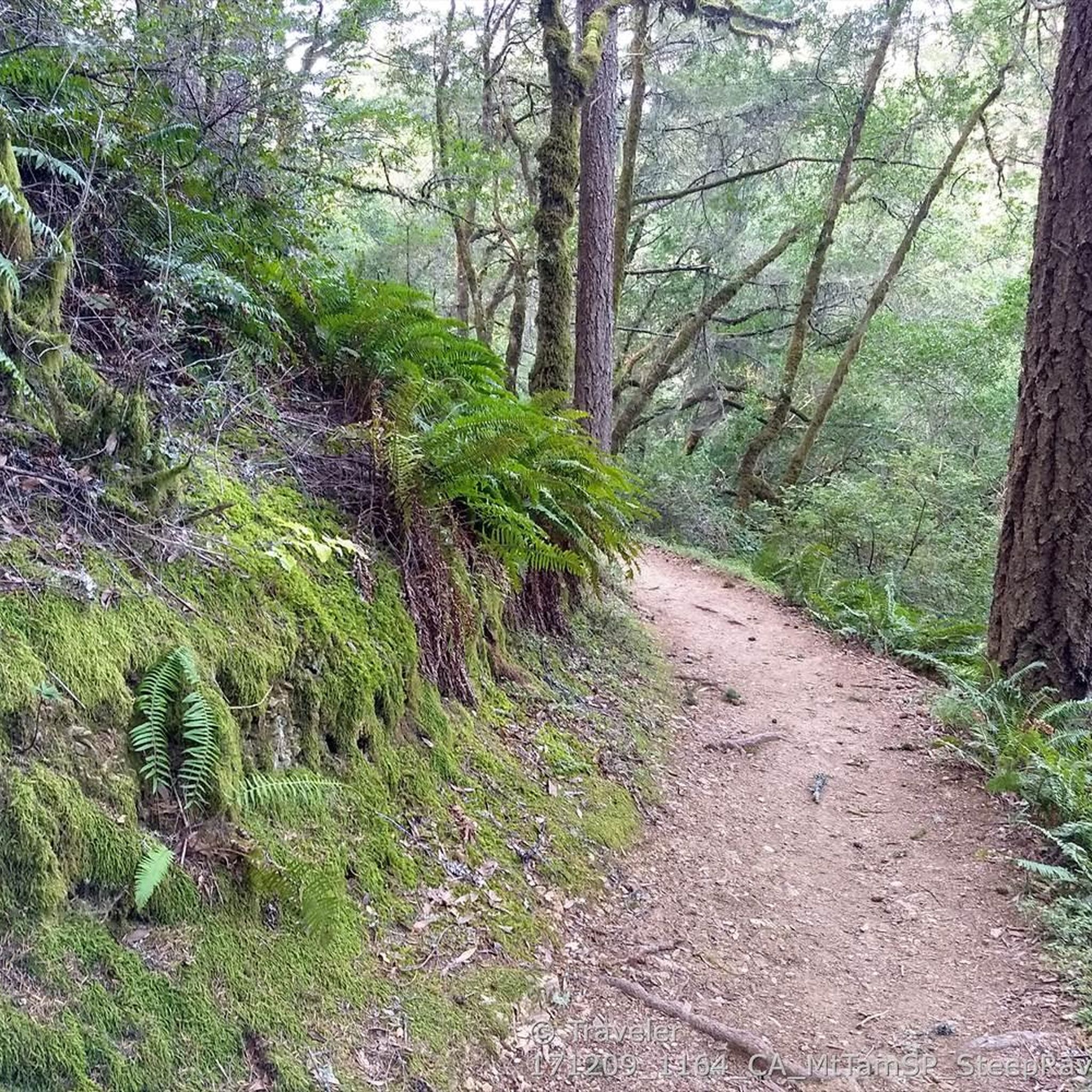
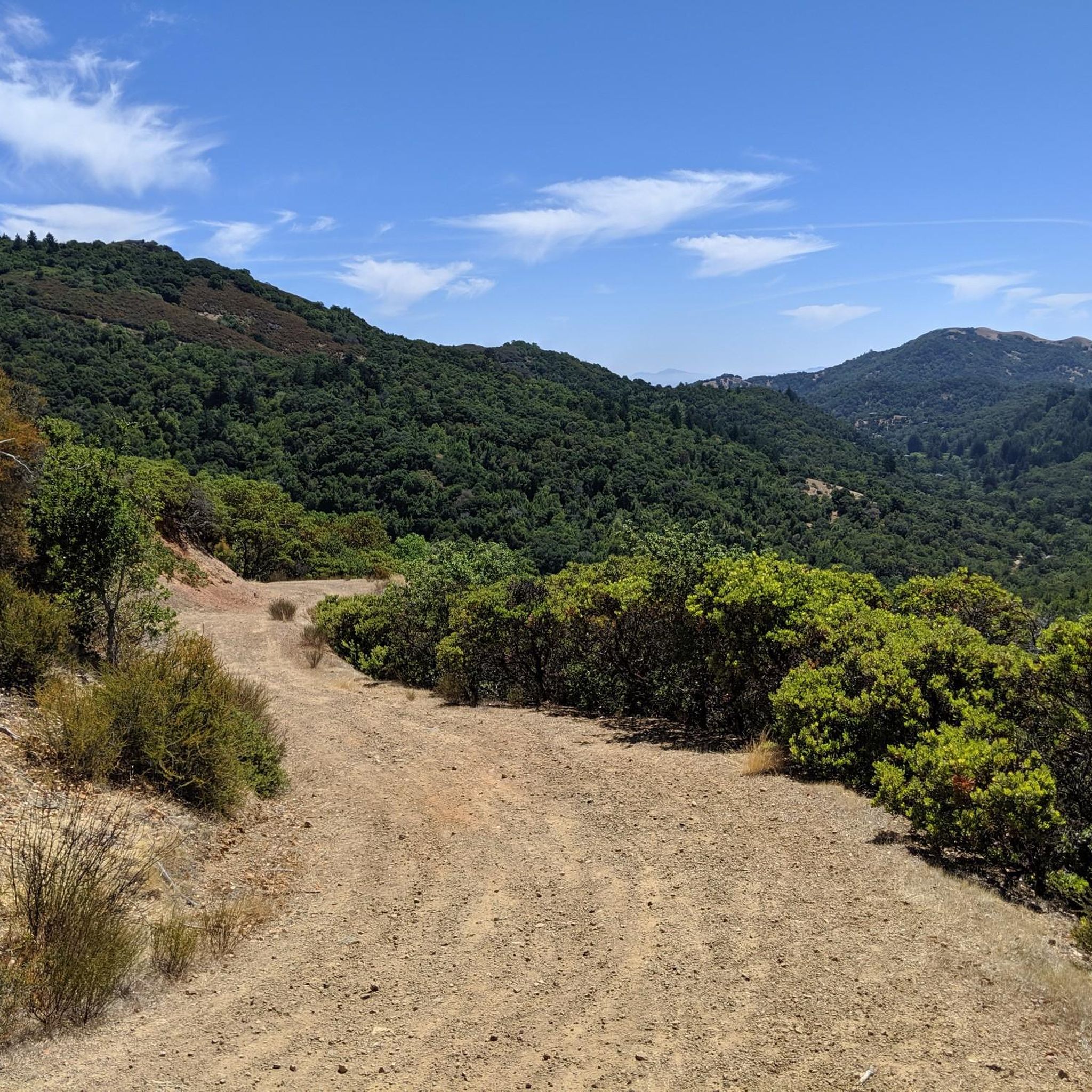
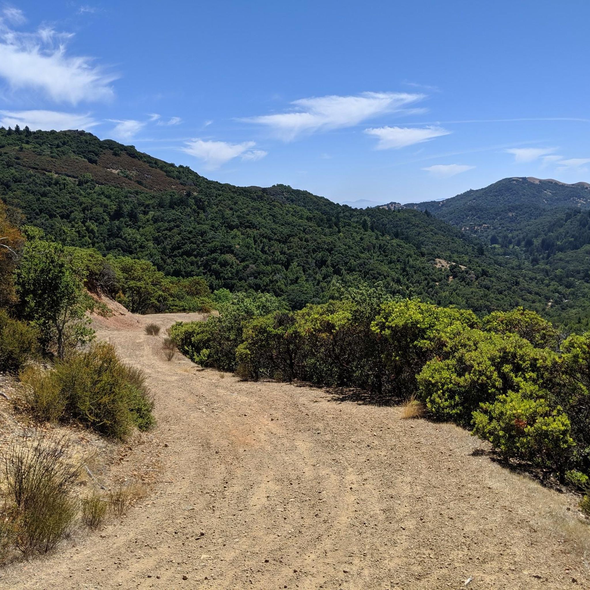
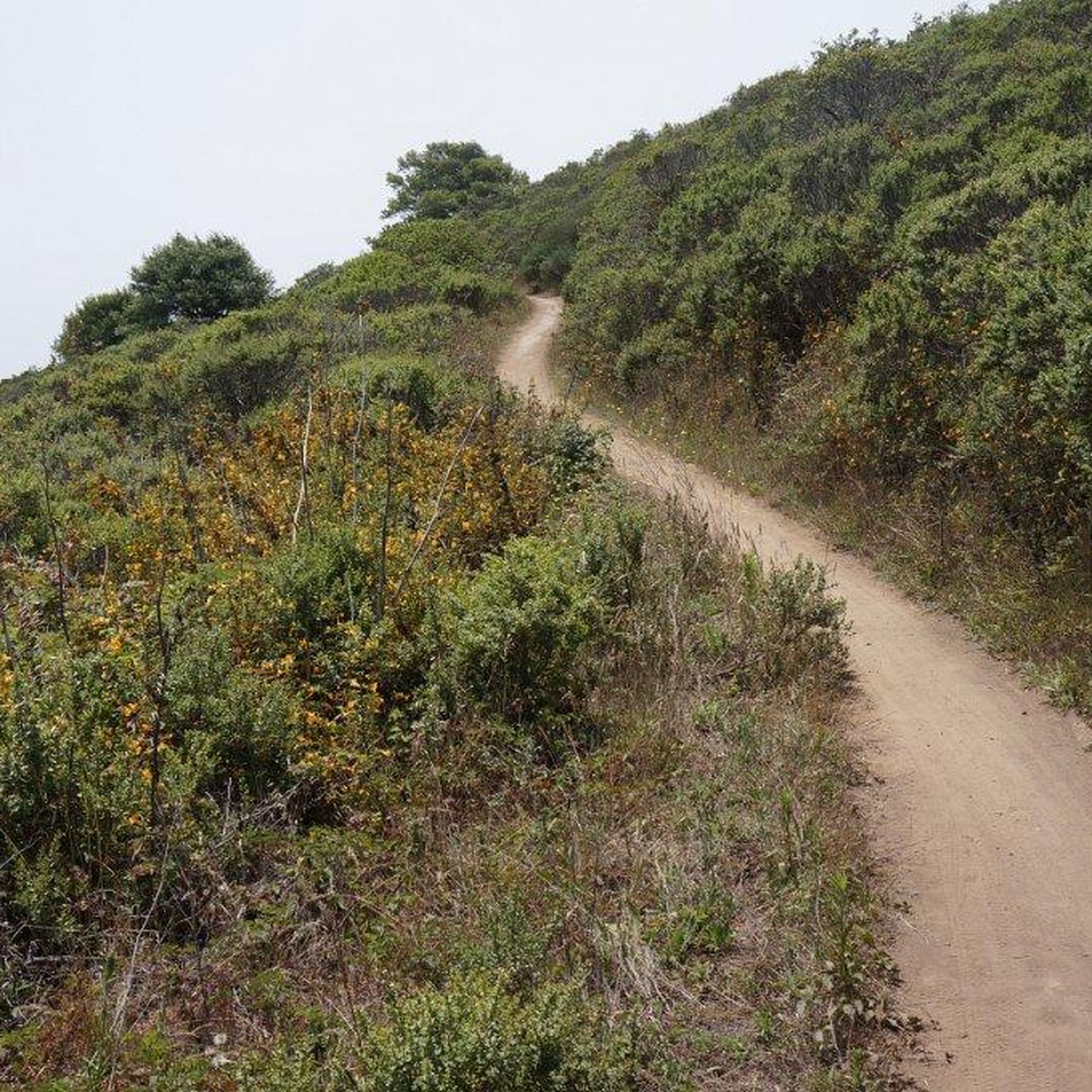
Jogging in Cascade Canyon Open Space Preserve offers diverse terrain across over 500 acres in Marin County. The preserve features rolling hills, lush canyons carved by perennial creeks, and shady forests of coast live oak and madrone. Trails range from mostly paved surfaces to more challenging singletrack paths, with significant elevation changes available for varied running experiences. The landscape includes notable features such as Cascade Falls, San Anselmo Creek, and panoramic views of the San Francisco Bay from higher points.
Best jogging routes in Cascade Canyon Open Space Preserve
- The most popular jogging route is Little Carson Falls & Kent Lake loop, a 7.6 miles (12.2 km) trail that takes 1 hour 41 minutes to complete. This route features significant elevation gain and passes by scenic water features.
- Another top favourite among local runners is Bald Hill loop from Fairfax, a difficult 6.0 miles (9.6 km) path. This trail offers challenging climbs and rewarding views over the surrounding landscape.
- Local runners also love the Bon Tempe Lake & Dam loop from Fairfax, a 7.3 miles (11.7 km) trail leading through varied terrain around the lake, often completed in about 1 hour 27 minutes.
- Jogging in Cascade Canyon Open Space Preserve is defined by rolling hills, lush canyons, and shady forests, with trails that follow perennial creeks. The network offers options for easy, moderate, and difficult runs, catering to different ability levels.
- The routes in Cascade Canyon Open Space Preserve are highly rated by the komoot community with an average score of 3.5 stars from over 6 reviews. More than 800 runners have used komoot to explore Cascade Canyon Open Space Preserve's varied terrain.
Last updated: July 8, 2026
1
runners
12.2km
01:41
470m
470m
The Little Carson Falls & Kent Lake loop is a fantastic option if you're seeking a challenging jogging experience that blends lush redwood forests with expansive views. This difficult 7.6-mile (12.2 km) route, which takes about 1 hour and 41 minutes to complete, guides you through a diverse landscape, from the serene Kent Lake to the impressive cascades of Carson Falls, especially vibrant after rainfall. You'll encounter sections with a
6
runners
12.2km
01:30
250m
250m
Moderate run. Good fitness required. Mostly paved surfaces. Suitable for all skill levels.

Sign up for free
2
runners
17.9km
02:25
530m
530m
This challenging 11.1-mile (17.9 km) jogging loop takes you through the heart of the Mount Tamalpais Watershed, offering a diverse and demanding experience. You'll traverse serene lake shores around Bon Tempe Lake and Alpine Lake before diving into the lush redwood groves of the Cataract Trail, where a series of impressive waterfalls await. With 1730 feet (527 metres) of elevation gain and an estimated duration of 2 hours and 24 minutes, this route is ideal for fit joggers seeking a rewarding workout amidst stunning natural beauty.
To make the most of your visit, consider tackling this route in late winter or spring, when the Cataract Trail Waterfalls are at their most spectacular after seasonal rains. While specific parking information isn't detailed, trailheads in this popular area can get busy, so an early start is always a good idea. Be sure to wear sturdy shoes and carry enough water, as sections of the Cataract Trail are very rugged and demanding, featuring steep ascents and many stairs.
The Mount Tamalpais Watershed is not just a recreational haven; it's also a vital source of water for Marin County, underscoring the pristine nature of the environment you'll be jogging through. Beyond the waterfalls, keep an eye out for local wildlife, including various bird species and even newts. This loop offers a fantastic blend of open lake views and shaded forest paths, providing a true escape into nature.
2.0
(1)
3
runners
12.4km
01:45
610m
620m
The Mount Tamalpais East & Middle Peaks from Lake Lagunitas loop offers a dynamic jogging experience, starting in the serene, dense forests around Lake Lagunitas before climbing through chaparral to exposed peaks. You'll navigate varied terrain, from paved paths to fire roads and steep, rocky sections, all leading to spectacular 360-degree panoramic views from both East and Middle Peaks. On a clear day, you can see the San Francisco skyline, the Golden Gate Bridge, and the vast Pacific Ocean, making the challenging ascent truly worthwhile.
This difficult 7.7-mile (12.4 km) jogging route involves a significant 2015 feet (614 metres) of elevation gain, typically taking around 1 hour and 45 minutes. The trailhead at Lake Lagunitas provides picnic areas and restrooms, making it a convenient starting point. Given the popularity of Mount Tamalpais, arriving early is recommended to secure parking, especially on busy days.
Historically, the area has ties to the Mill Valley and Mt. Tamalpais Scenic Railway, with sections like the Railway Grade Fireroad following its former path. This route showcases Mount Tamalpais' diverse ecosystems, transitioning from lush forest to more arid chaparral, and is widely considered one of the best running routes for experienced joggers seeking both a physical test and expansive Bay Area vistas.
6
runners
3.08km
00:22
50m
50m
Easy run. Great for any fitness level. Mostly paved surfaces. Suitable for all skill levels.
Get access to more routes and recommendations from other explorers.
Sign up for free
Already have an account?
Our route recommendations are based on thousands of hikes, rides, and runs completed by other people on komoot.
Start today with a free account
Your next adventure awaits.
Login or Signup
Tips from the Community

Mount Tam East Peak offers some of the most majestic views north of the bay. From this vantage point, you can see all of Marin, along with Point Reyes to the north and Oakland and San Francisco to the south. The stunning panoramic vistas make the journey well worth the effort. There are restrooms and picnic tables, ideal for a snack or lunch while you capture some incredible photos.
0
0

One of the best views in the entire Bay Area. No question.
0
0
Often busy on weekends, this is a great spot to take moment before/after summiting Mt Tam. There are spigots to fill up water and bathrooms that are open during park hours. The parking lot is very close for those that drive up. There is access to MANY trails for those on foot/bike.
0
0
Mount Tam East Peak offers some of the most majestic views north of the bay. From this vantage point, you can see all of Marin, along with Point Reyes to the north and Oakland and San Francisco to the south. The stunning panoramic vistas make the journey well worth the effort. There are restrooms and picnic tables, ideal for a snack or lunch while you capture some incredible photos.
1
0

Just before the last ascent of East Ridgecrest Blvd toward the East Peak of Mt Tamalpais is the Railway Grade Fireroad Trailhead on the south side, and a few dozen yards furthe south, the Eldridge Grade Fire Road down on the north side.
0
0
The Lagunitas Dam, completed 151 years ago, was built in less than four months and was 480 feet long with a crest of 20 feet. The purpose was to supply development in the San Rafael area. Its current capacity is 350 acre-feet or 114 million gallons. Lake Lagunitas is one of seven Marin Municipal County Reservoirs, and the combined rainfall collected from these reservoirs makes up around 75 % of the district's water supply.
0
0

Don't be fooled, 'Alpine Lake' is the name of this body of water, but the fact that it is an alpine lake is highly debatably at a lowly 768 feet. Irregardless, the views are still nice. You can look but not touch as there is no swimming or boating allowed in the lake.
0
0
Great lookout with a usually closed summit hut at 2571 feet (784 m) elevation. Outstanding views of the Bay, Marin County, San Francisco, and the Pacific Ocean.
0
0
Frequently Asked Questions
How many running routes are available in Cascade Canyon Open Space Preserve?
Cascade Canyon Open Space Preserve offers a wide variety of running experiences, with over 70 routes recorded on komoot. These routes cater to different fitness levels, ranging from easy jogs to challenging long-distance runs.
What are the difficulty levels of the running trails in the preserve?
The preserve features a diverse range of trails. You'll find 3 easy routes perfect for a relaxed jog, 26 moderate routes for a good workout, and 44 difficult routes for experienced runners seeking a challenge. This variety ensures there's something for every ability.
Are there any running routes that feature waterfalls?
Yes, Cascade Canyon Open Space Preserve is home to the beautiful Cascade Falls, which is a significant attraction, especially impressive during the rainy season. While not explicitly listed as a feature on all routes, the preserve's namesake waterfall is a highlight. For a route that passes by scenic water features, consider the Little Carson Falls & Kent Lake loop.
What kind of natural features can I expect to see while jogging here?
You'll encounter a rich natural environment, including lush canyons carved by perennial creeks like San Anselmo Creek, which supports fish habitats. Shady forests of coast live oak, madrone, and California bay trees keep many trails cool. In late winter and spring, the preserve bursts with abundant wildflowers such as hound's tongue, milkmaids, and trilliums. You might also spot diverse wildlife, including various bird species and butterflies.
Are there running routes with scenic viewpoints?
Absolutely! Some trails within Cascade Canyon Open Space Preserve offer stunning panoramic views. For instance, trails like the Pine Mountain Fire Road provide expansive vistas of the San Francisco Bay, adding a rewarding visual element to your run. The Bald Hill loop from Fairfax also offers rewarding views over the surrounding landscape after challenging climbs.
Is parking available at Cascade Canyon Open Space Preserve?
Parking at Cascade Canyon Open Space Preserve is primarily limited to street parking. It's advisable to arrive early, especially on weekends or during peak times, to secure a spot.
Are there any circular running routes in the preserve?
Yes, many of the running routes in Cascade Canyon Open Space Preserve are designed as loops, offering varied scenery without retracing your steps. Examples include the Bon Tempe Lake & Dam loop from Fairfax and the Bon Tempe Lake, Alpine Lake & Cataract Trail loop, which provide excellent circular options.
What is the best time of year to go running in Cascade Canyon Open Space Preserve?
The preserve offers a pleasant running experience year-round. Late winter and spring are particularly vibrant due to abundant wildflowers. The shady forests keep many canyon trails cool even on warmer days, making it enjoyable during summer. The presence of perennial creeks ensures a serene backdrop in many seasons.
Are the trails suitable for families with children?
Yes, the preserve offers a range of trails, including some with mostly paved surfaces and moderate elevation gain, which can be suitable for families. While specific 'family-friendly' routes aren't highlighted, the variety of easy and moderate trails allows families to choose paths that match their comfort and ability levels.
Are dogs allowed on the running trails?
The provided information does not specify the exact dog policies for Cascade Canyon Open Space Preserve. It is generally recommended to check local regulations or the preserve's official website for the most current rules regarding dogs on trails before your visit.
What do other runners enjoy most about the trails in Cascade Canyon Open Space Preserve?
The running routes in Cascade Canyon Open Space Preserve are highly rated by the komoot community, with an average score of 3.5 stars from over 6 reviews. Runners often praise the diverse terrain, the beauty of the lush canyons and shady forests, and the variety of options for different fitness levels. Over 800 runners have used komoot to explore the preserve's varied landscape.
Are there any long-distance running options for endurance training?
Yes, for those looking for longer distances and significant elevation, the preserve connects to adjacent parklands like White Hill Open Space Preserve and the Mount Tamalpais Watershed, allowing for extended running experiences. Routes like the Bon Tempe Lake, Alpine Lake & Cataract Trail loop (over 17 km) or the Mount Tamalpais East & Middle Peaks from Lake Lagunitas loop (over 12 km with significant elevation) provide excellent options for endurance training.
Most popular routes in Cascade Canyon Open Space Preserve

Get inspired with the komoot mobile app


Explore more
Browse the best Running Trails & Routes in other regions.
