Routes

Planner

Features

Updates

App

Login or Signup

Get the App

Login or Signup

Routes
Hikes
United States
California
Marin County

Blithedale Summit Open Space Preserve

Routes
Hikes
United States
California
Marin County

Blithedale Summit Open Space Preserve

The best walks and hikes in Blithedale Summit Open Space Preserve

4.8

(512)

9,302

hikers

353

hikes

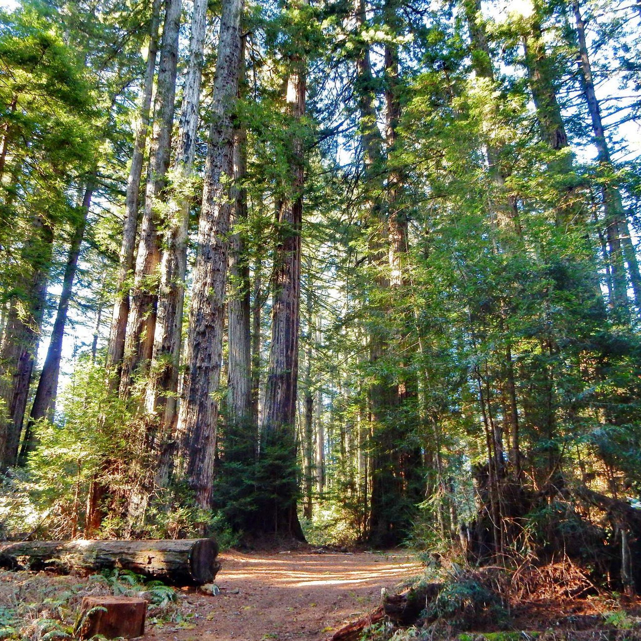
Hikes in Blithedale Summit Open Space Preserve explore a network of trails on the northern flank of Mount Tamalpais in southern Marin County. The preserve features a varied landscape of fire roads and single-track paths that pass through redwood and Douglas-fir forests, open grasslands, and dense chaparral. The terrain includes both gentle, wide paths like the historic Old Railroad Grade and more moderate climbs to viewpoints. The preserve also connects to the larger trail systems of the surrounding protected lands.

Best hiking trails in Blithedale Summit Open Space Preserve

  • The most popular hiking route is the Dawn Falls loop — Blithedale Summit Open Space Preserve, a 5.6 mile (9.0 km) trail that takes around 2 hours 40 minutes to complete. This moderate hike follows trails through shaded canyons and forests.
  • Another top favourite among local hiking enthusiasts is the Southern Marin Line Road Trail — Baltimore Canyon Open Space Preserve, a moderate 6.4 mile (10.3 km) path. The route primarily follows a wide fire road, offering a steady ascent.
  • Local hiking enthusiasts also love the Dawn Falls Trail via Piedmont Trail loop — Blithedale Summit Open Space Preserve, a 5.2 mile (8.4 km) trail leading through redwood groves, often completed in about 2 hours 30 minutes.
  • Hiking in Blithedale Summit Open Space Preserve is defined by shaded redwood forests, wide fire roads, and chaparral-covered hillsides. The trail network provides options for both easy, relaxing climbs and more moderate routes with greater elevation gain.
  • The routes in Blithedale Summit Open Space Preserve are highly rated by the komoot community with an average score of 4.8 stars from over 500 reviews. More than 9,000 hikers have used komoot to explore Blithedale Summit Open Space Preserve's varied terrain.

Last updated: July 7, 2026

15

hikers

#1.

Blithdale Loop

6.02km

01:48

200m

170m

The Blithdale Loop is a fantastic way to experience Marin County's diverse natural beauty, offering a dynamic 3.7-mile (6.0 km) hike with 656 feet (200 metres) of elevation gain. This easy route, typically completed in about 1 hour and 48 minutes, winds through dense forests and chaparral-lined slopes, treating you to stunning views of the San Francisco skyline and Mount Tamalpais from various points. You'll encounter everything from cool creek crossings to open hillsides, making for a varied and engaging experience.

Planning your visit is straightforward, but be aware that trails can become muddy and slippery during the rainy season due to exposed roots and rocks. Parking is generally available, but arriving earlier in the day is always a good idea, especially on weekends. If you're bringing your dog, remember they must be leashed on trails and under voice control on fire roads, ensuring a pleasant experience for everyone.

This trail is more than just a scenic walk; it's steeped in history, with a portion known as the Old Railroad Grade that was once part of the historic Mill Valley and Mount Tamalpais Scenic Railway. The Blithdale Loop is also a crucial link in the extensive 550-mile Bay Area Ridge Trail and connects directly to Mount Tamalpais State Park, offering extensive exploration opportunities. Keep an eye out for diverse wildlife, including pileated woodpeckers, as you traverse this rich ecosystem.

Navigate with device

Send to Phone

Save

Easy

1.09km

00:27

90m

90m

Hike the easy Barbara Springs Trail in Larkspur, CA, a 0.7-mile route with 302 feet of gain through lush redwood forests.

Easy
guide_signup
Let us show you the way with the komoot mobile app
With a free komoot account, you can easily find, customize, and navigate endless outdoor adventures.

Sign up for free

Hike the easy 1.9-mile Old Railroad Grade Fire Road in Mount Tamalpais Watershed, gaining 29 feet over 51 minutes.

Easy

2.27km

00:47

170m

0m

The Dawn Falls Trail offers a delightful journey through a lush redwood wonderland, where towering trees and vibrant ferns create a truly magical atmosphere. You'll meander alongside Larkspur Creek, enjoying the constant sound of water cascading over rocks, before reaching the impressive 30-foot Dawn Falls. While much of the path is gentle, the final quarter-mile to the waterfall involves a short, steep climb, making it an engaging experience for hikers of varying abilities.

This easy 1.4-mile (2.3 km) hike, with 566 feet (173 metres) of elevation gain, can be completed in about 46 minutes, making it a perfect quick escape. To witness the waterfall at its best, plan your visit in late winter or early spring after significant rainfall; it can slow to a trickle in summer. The trail is easily accessible in Larkspur and is also dog-friendly, offering a peaceful alternative to more crowded Bay Area trails.

What truly sets this trail apart is its combination of a picturesque waterfall and immersive redwood groves, creating a serene environment often described as a local secret. It's an excellent option for families or anyone seeking a high-reward nature experience without a lengthy commitment. The trail's accessibility and tranquil setting make it a notable gem in Marin County.

Easy

5.0

(3)

62

hikers

Discover the magic of Marin County on the Dawn Falls and King Mountain Loop, a moderate hiking trail that transitions from dense redwood groves to open, panoramic viewpoints. You'll wander through lush ferns along Larkspur Creek, where the sounds of flowing water create a serene atmosphere, especially after a good rain. The trail offers a rich variety of ecosystems, from shaded forest paths to sunnier sections with expansive vistas, making every turn a new experience.

This 5.2-mile (8.4 km) loop involves 711 feet (217 metres) of elevation gain and typically takes around 2 hours and 27 minutes. The trailhead is easily accessible near downtown Larkspur, but be aware that sections can be muddy after rainfall, so sturdy footwear is a must. For the best experience of Dawn Falls, plan your visit for late winter or early spring when the waterfall is at its most impressive.

What truly sets this trail apart are the rewarding views from the King Mountain section, stretching across Larkspur, the San Francisco Bay, and even Mount Tamalpais on clear days. Beyond the scenic beauty, the trail is dog-friendly, allowing you to bring your leashed canine companions along for the adventure. It's a fantastic choice for those seeking a diverse natural escape with both forest tranquility and breathtaking vistas.

Moderate
Sign up for free to see 349 more hikes in Blithedale Summit Open Space Preserve.

Get access to more routes and recommendations from other explorers.

Sign up for free

Already have an account?

Our route recommendations are based on thousands of hikes, rides, and runs completed by other people on komoot.

Start today with a free account

Your next adventure awaits.

Login or Signup

Popular around Blithedale Summit Open Space Preserve
Cycling in Blithedale Summit Open Space Preserve
Road Cycling Routes in Blithedale Summit Open Space Preserve
Running Trails in Blithedale Summit Open Space Preserve
MTB Trails in Blithedale Summit Open Space Preserve
Gravel biking in Blithedale Summit Open Space Preserve

Tips from the Community

serge 🚶🐉😊🇧🇪
October 11, 2025, Steep Rocky Trail

Steep in the first part but easy to do in dry weather

Translated by Google

1

0

A beautiful path, but difficult to park your car because there are just three parking spots, and you can't really turn around to look further. If you find one, take a spot; after all, you're here to walk.

Translated by Google

1

0

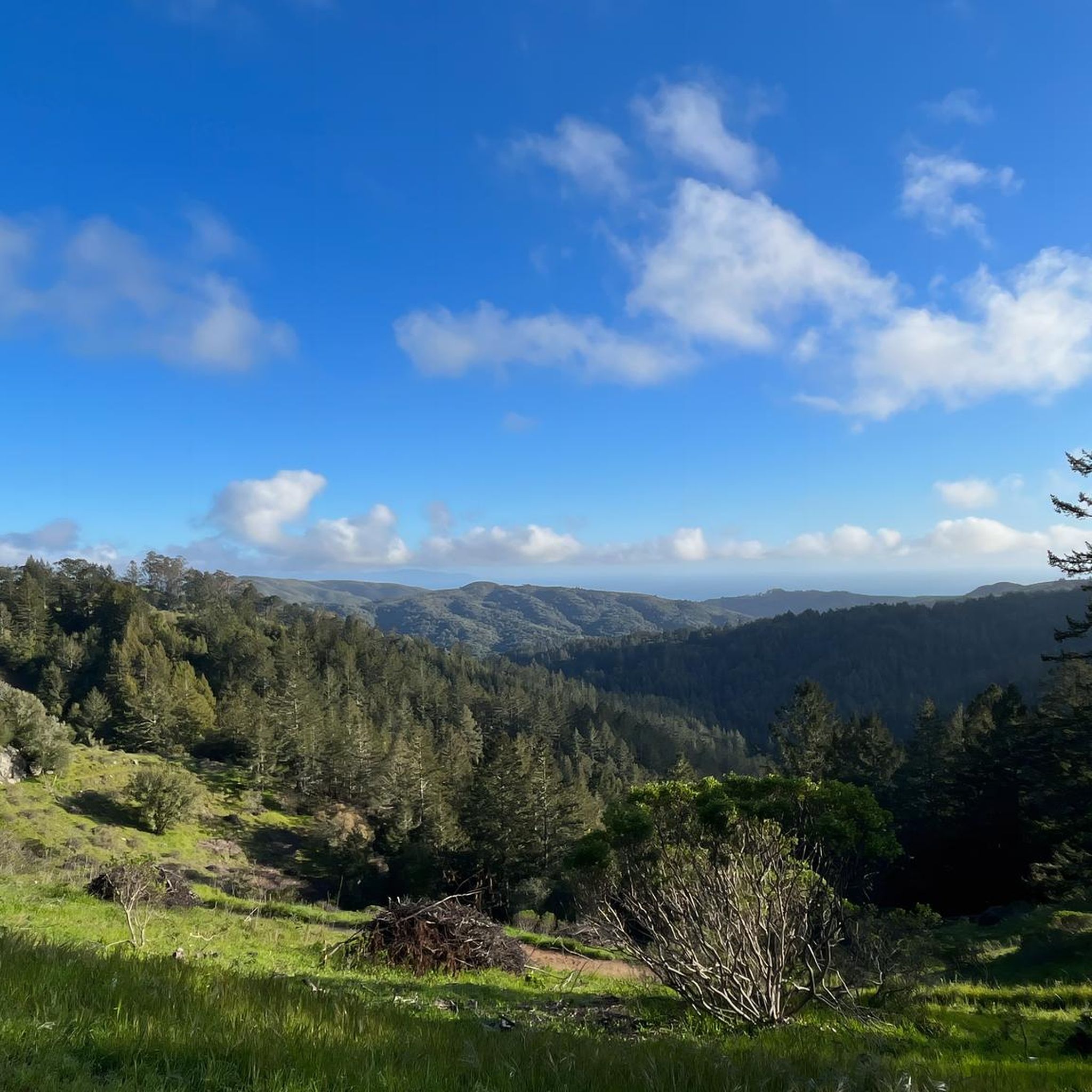
Sweeping views south and east, all the way to SF, and Mt Tam right above behind you to the north. The bench is dedicated to the family who built their house in front of you 60 years ago.

0

0

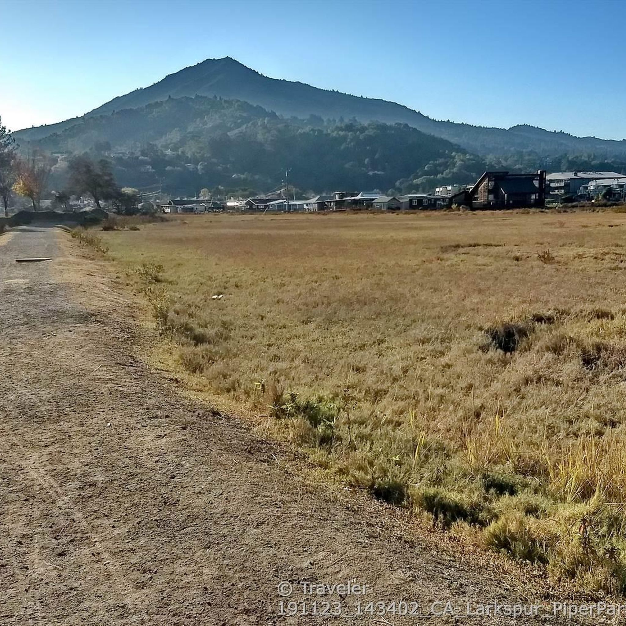
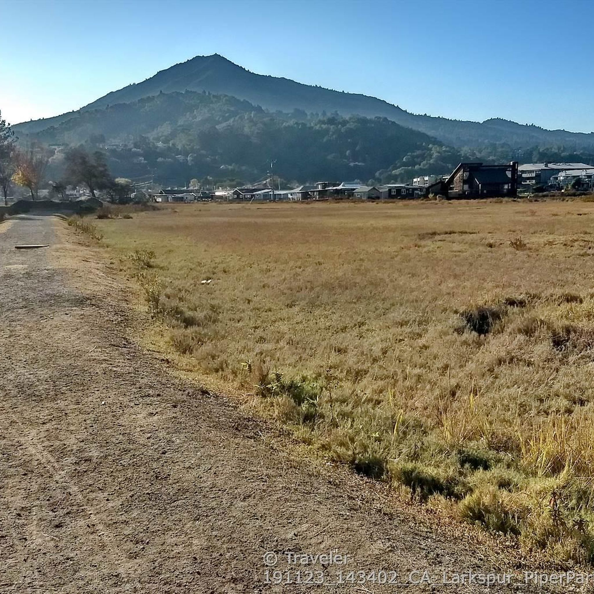
The wood bridge across the creek marks the beginning of the Old Railroad Grade, today a wide fireroad

0

0

Traveler
December 20, 2020, Dawn Falls Trail

Very pleasant redwood forest trail along Larkspur Creek. It climbs gently from the dead end of Madrone Avenue to the small falls near the source of the creek.

0

0

Traveler
December 20, 2020, Piedmont Trail

At the end of paved residential Piedmont Road, this trail continues along Larkspur Creek up towards Dawn Falls Trail into Baltimore Canyon Open Space Preserve.

0

0

Ladybug Trail climbs from Dawn Falls Trail to about midway up King Mountain and then follows the contours to the east

0

0

Traveler
December 20, 2020, Dawn Falls

Very small waterfall near the beginning of little Lakspur Creek

0

0

Frequently Asked Questions

Where is the best place to park for hikes in Blithedale Summit?

There are several trailheads providing access to the preserve. A popular starting point is the Blithedale Summit Trailhead located at 535 W Blithedale Ave in Mill Valley. Another option is the trailhead at 330 Evergreen Dr in Kentfield, which offers access to the northern parts of the preserve. Street parking is available but can be limited, especially on weekends, so arriving early is recommended.

Are dogs allowed on the trails in Blithedale Summit Open Space Preserve?

Yes, dogs are generally welcome in the Blithedale Summit Open Space Preserve. They must be on a leash on all fire roads and trails. Always be sure to bring water for your dog and clean up after them to help keep the preserve beautiful for everyone.

Are there any easy, family-friendly hikes in the preserve?

Absolutely. The preserve offers many gentler options suitable for families. The historic Old Railroad Grade is a wide, gently sloped fire road that was once part of a scenic railway, making it a relatively easy and relaxing climb. Many of the fire roads provide a straightforward hiking experience through the preserve's beautiful forests.

What are the trail conditions like?

The trails are a mix of wide, well-maintained fire roads and narrower single-track paths. The fire roads, like the Old Railroad Grade, are generally smooth and suitable for most hikers. Single-track trails can be more rugged with rocks and roots. After rain, some canyon trails can become muddy, so appropriate footwear is advised.

Are there any circular walks or loop trails available?

Yes, the preserve is well-suited for loop hikes. One excellent option is the Dawn Falls Trail via Piedmont Trail loop. This 5.2-mile (8.4 km) route takes you through beautiful redwood groves and shaded canyons, offering a varied and scenic circular journey.

When is the best time to see wildflowers or waterfalls?

Spring is the best time for wildflowers, when the canyons and grasslands come alive with color. For waterfalls, such as the seasonal Dawn Falls, the best time to visit is during or shortly after the rainy season in winter and early spring, when the creeks are flowing.

How does hiking in Blithedale Summit compare to Mount Tamalpais?

Blithedale Summit serves as a fantastic gateway to the larger Mount Tamalpais area. Its trails are generally less crowded and offer a more intimate experience through redwood forests and chaparral. While Mount Tamalpais has higher peaks and more expansive, exposed terrain, Blithedale provides a rich network of shaded canyons and historic fire roads on the mountain's northern flank.

Are these trails suitable for trail running?

Yes, Blithedale Summit is very popular with trail runners. The network of fire roads, such as the Southern Marin Line Road Trail, provides wide paths with steady gradients perfect for running. The single-track trails offer a more technical challenge for experienced runners.

What kind of scenery and views can I expect?

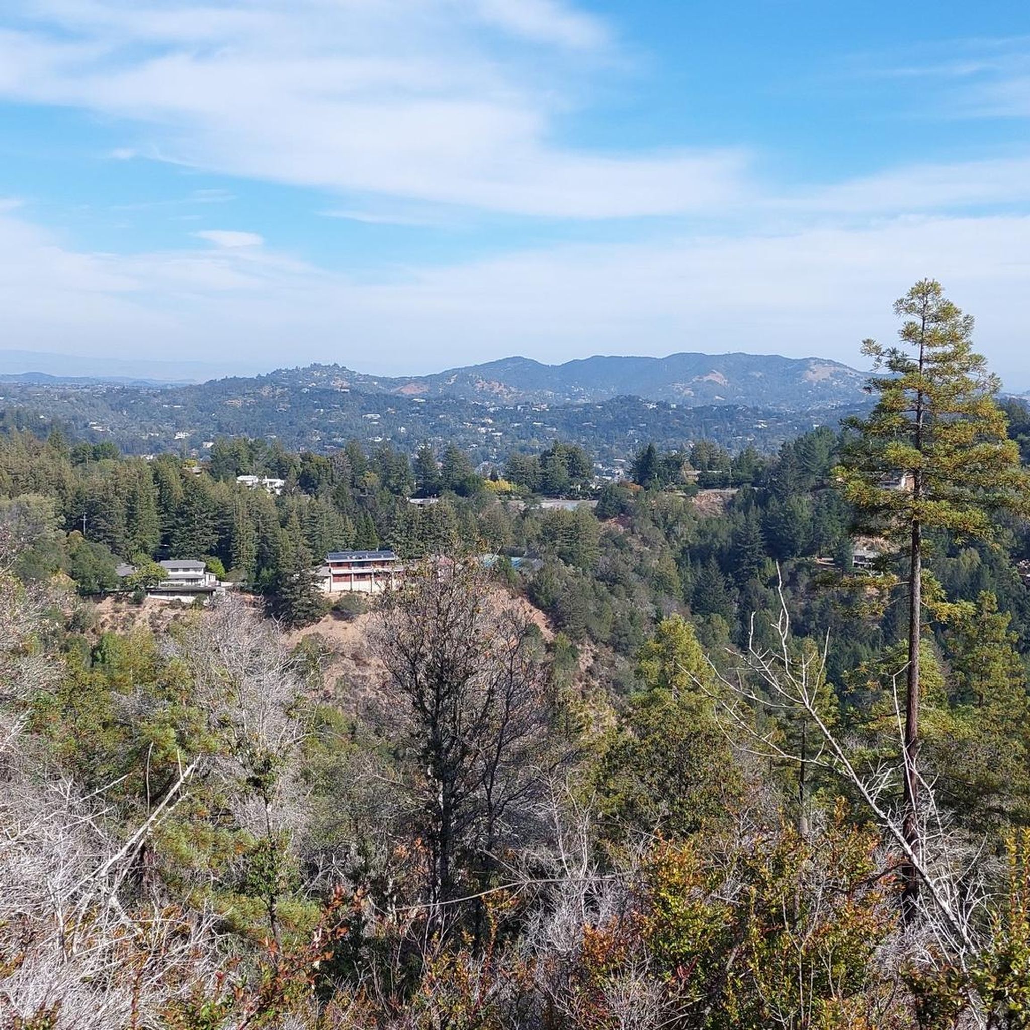
The scenery is incredibly diverse. You'll hike through deep, shaded forests of redwood and Douglas-fir, open grasslands, and dense chaparral. As you gain elevation, you'll be rewarded with panoramic views of the Marin Headlands, San Francisco Bay, and the surrounding hills. Landmarks like Echo Rock are known for their excellent vistas.

How many hiking trails are in the preserve?

There are over 290 different routes mapped on komoot within and connected to the Blithedale Summit Open Space Preserve. This extensive network includes everything from easy fire roads to challenging single-track paths, connecting to the larger trail systems of Mount Tamalpais State Park and the Marin Municipal Water District.

What do other hikers say about the trails in Blithedale Summit?

The area is highly regarded by the komoot community, with an average rating of 4.8 stars. Hikers frequently praise the beautiful redwood groves, the variety of trails for all fitness levels, and the peaceful atmosphere of the shaded canyons.

Most popular routes in Blithedale Summit Open Space Preserve

Waterfall hikes in Blithedale Summit Open Space Preserve

Most popular attractions in Blithedale Summit Open Space Preserve

Places to see

Store rating

Get inspired with the komoot mobile app

With a free komoot account, you can easily find, customize, and navigate endless outdoor adventures.

or

Join komoot Now

Store rating

Explore more

Browse the best Hikes in other regions.

Mount Tamalpais State ParkTamalpais-Homestead ValleyPoint Reyes National SeashoreMarin CityMill ValleyCascade Canyon Open Space PreserveKentfieldSan AnselmoPhillip Burton WildernessInvernessBaltimore Canyon Open Space PreservePoint Reyes StationBelvedereSan RafaelNovatoRing Mountain Open Space PreserveFairfaxBolinas Lagoon Open Space PreserveKing Mountain Open Space PreserveBolinasNicasioMuir BeachRoy'S Redwoods Open Space PreserveWoodacreMuir Woods National MonumentLarkspurDeer Island Open Space PreserveFrench Ranch Open Space PreserveSamuel P. Taylor State ParkHorse Hill Open Space PreserveAlto Bowl Open Space PreserveRossSan Pedro Mountain Open Space PreserveCamino Alto Open Space PreserveMount Burdell Open Space PreserveAltoStrawberryLucas Valley-MarinwoodTomales Bay State ParkWhite Hill Open Space PreserveDillon BeachTiburonLoma Alta Open Space PreserveLagunitas-Forest KnollsRush Creek Open Space PreserveStinson BeachSan Venetia Marsh Open Space PreserveSleepy HollowBlack Point-Green PointOld Saint Hilary'S Open Space PreserveSan GeronimoBald Hill Open Space PreserveSanta VenetiaMarin Islands National Wildlife RefugeSausalitoChina Camp State ParkCorte MaderaAngel Island State Park

Nearby adventure guides

Things to Do in King Mountain Open Space Preserve

background

Get ready to conquer new peaks

Sign up for Free

Explore
RoutesRoute plannerFeaturesHikesMTB TrailsRoad cycling routesBikepackingSitemap
Download the app
Follow Us on Socials

© komoot GmbH

Privacy Policy
