The best cycling routes in Horse Hill Open Space Preserve
4.6
(448)
6,875
riders
144
rides
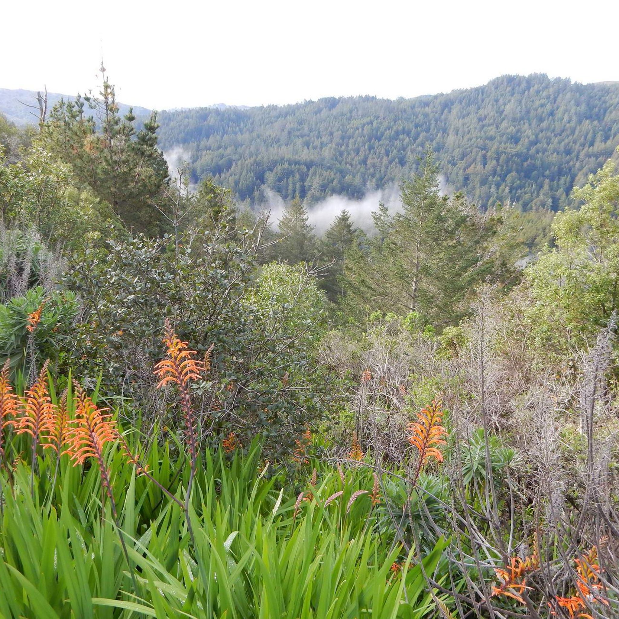
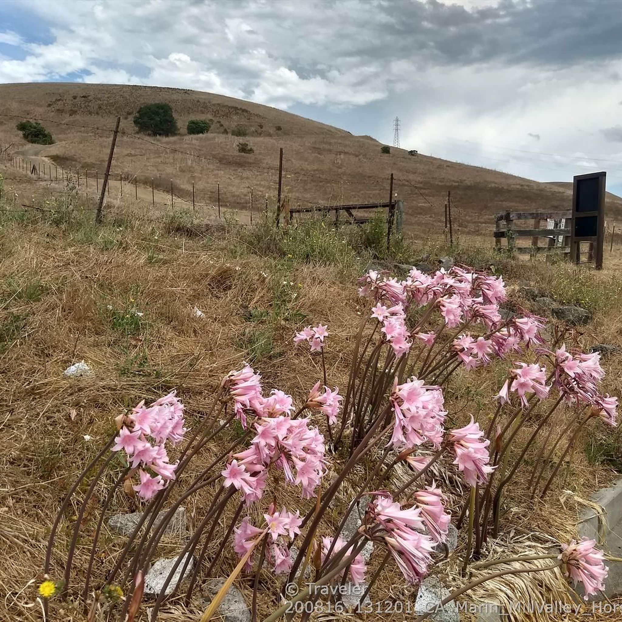
Touring cycling in Horse Hill Open Space Preserve features diverse terrain with rolling hills and open grasslands, offering panoramic views of the San Francisco Skyline and Mount Tamalpais. The preserve includes a mix of single-track paths and fire roads, providing varied surfaces for cycling experiences. It also offers connectivity to a network of trails, including the Sausalito-Mill Valley bike path, extending into areas like Marin Headlands. This landscape provides a range of touring cycling routes for different skill levels.
Best…
Last updated: October 21, 2026
112
riders
31.4km
03:00
750m
750m
Hard bike ride. Very good fitness required. Mostly paved surfaces. Suitable for all skill levels.
16
riders
21.3km
01:22
150m
150m
Easy bike ride. Great for any fitness level. Mostly paved surfaces. Suitable for all skill levels.

8
riders
16.4km
01:02
130m
130m
Easy bike ride. Great for any fitness level. Mostly paved surfaces. Suitable for all skill levels.
5.0
(3)
96
riders
47.2km
03:52
1,320m
1,320m
This difficult 29.3-mile touring cycling loop in Mount Tamalpais State Park offers challenging climbs and panoramic views of the Bay Area.
5.0
(2)
25
riders
18.4km
01:19
150m
150m
Cycle 11.4 miles (18.4 km) to Tennessee Beach via Sausalito-Mill Valley Trail, a moderate route with ocean views in Marin Headlands.
Get access to more routes and recommendations from other explorers.
Already have an account?
Our route recommendations are based on thousands of hikes, rides, and runs completed by other people on komoot.
Start today with a free account
Your next adventure awaits.
Tips from the Community

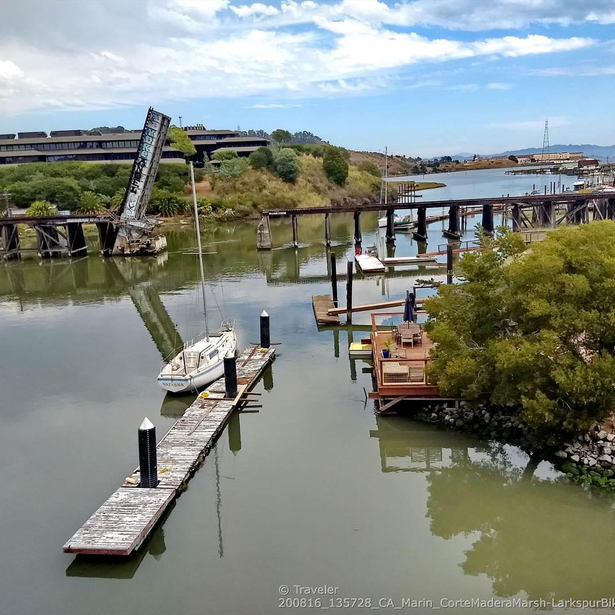
Corte Madera Larkspur Path crosses bike trails along canals, car free
0
0
At the end of the gradual Tennessee Valley Road, the last mile or so unpaved but smooth gravel, awaits the natural sandy wide beach cove. The steep coastal trails climbing on either side are hiking only.
0
0

Mount Tam East Peak offers some of the most majestic views north of the bay. From this vantage point, you can see all of Marin, along with Point Reyes to the north and Oakland and San Francisco to the south. The stunning panoramic vistas make the journey well worth the effort. There are restrooms and picnic tables, ideal for a snack or lunch while you capture some incredible photos.
0
0

Often busy on weekends, this is a great spot to take moment before/after summiting Mt Tam. There are spigots to fill up water and bathrooms that are open during park hours. The parking lot is very close for those that drive up. There is access to MANY trails for those on foot/bike.
0
0

Simply a safe and fun multi use path, use it to connect to the Corte Madera creek path going north, or head south to hit Camino Alto for a bit of a climb up and over a hill to Mill Valley
0
0
Mount Tamalpais State Park is a majestic area in the heart of Marin County, with sweeping hillsides covered in fantastic redwood forest, open grasslands, sturdy chaparral, and wooded oaklands. The views from Mount Tampais boast breathtaking vistas of the Pacific Ocean, San Francisco Bay and City, the Marin County Hills, Mount Diablo, and the East Bay. You can even see the Farallon Islands, 25 miles out to sea. If you're lucky, you can catch an occasional glimpse of the snow-capped Sierra Nevada Mountain Range, nearly 150 miles away. The Park is a haven for cyclists, hikers, wildlife watchers, or those who wish to find a beautiful spot for an afternoon picnic.
0
0
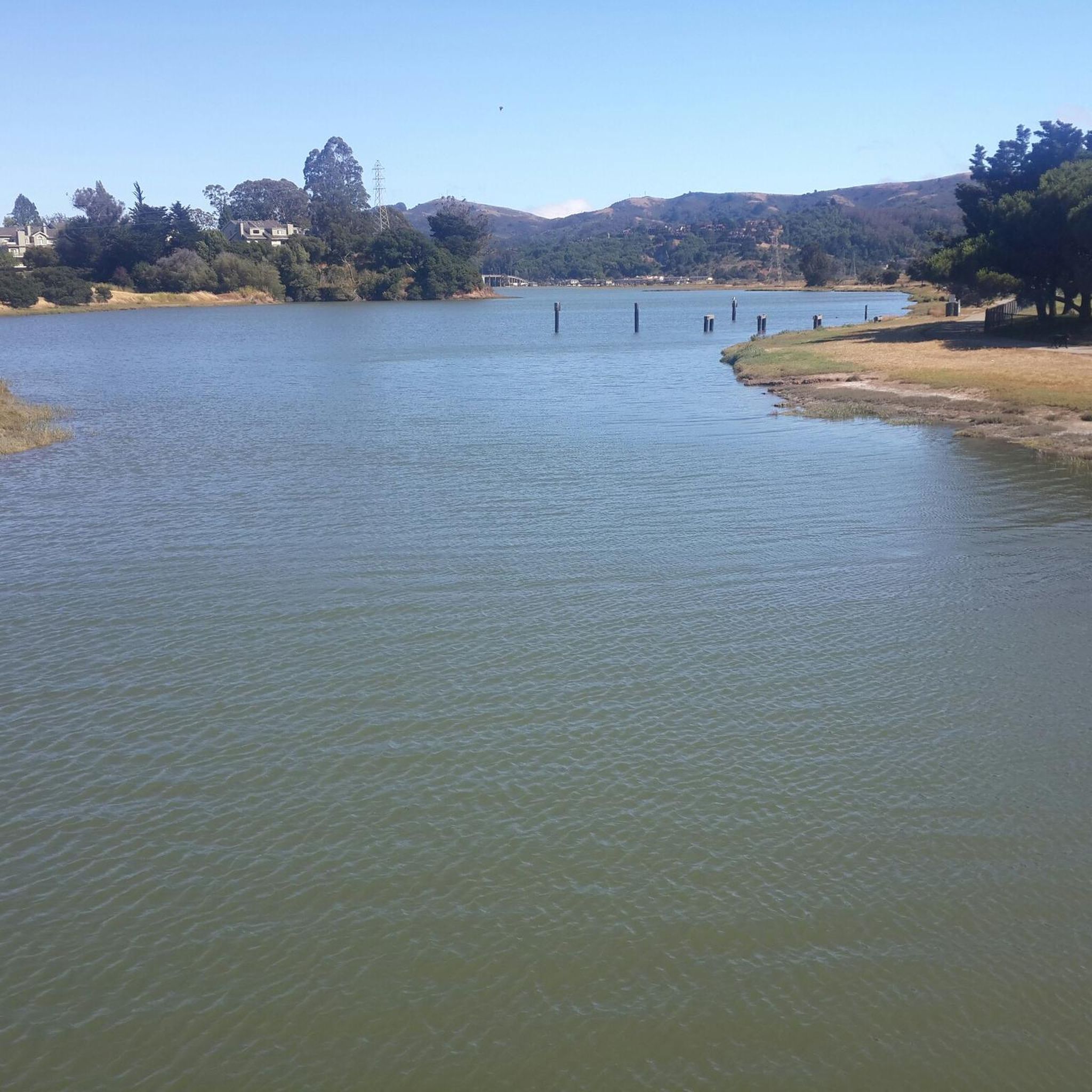
This tidal sanctuary runs along the Mill Valley-Sausalito Pathway and the Charles F. McGlashan Pathway. More than 400 species of migratory birds rest here after their long flights, and if you pass through in the early morning or late evening, the sunrises and sunsets reflect beautifully on the surface of this 106-acre marsh.
0
0
At the top of the long parking areas is the short trail to the summit as well as restrooms and drinking water fountains.
0
0
Frequently Asked Questions
How many touring cycling routes are available in Horse Hill Open Space Preserve?
There are over 140 touring cycling routes available in Horse Hill Open Space Preserve, catering to various skill levels. This includes more than 35 easy routes, over 60 moderate routes, and nearly 50 difficult routes.
What is the best time of year to go touring cycling in Horse Hill Open Space Preserve?
The preserve is enjoyable year-round, but spring is particularly beautiful with wildflowers like lupine and Douglas iris in bloom. Winter brings seasonal springs on the south slope. The weather is generally mild, making it suitable for cycling most months.
Are there any family-friendly touring cycling routes in Horse Hill Open Space Preserve?
Yes, there are several easy routes suitable for families. A great option is the Sausalito — Mill Valley Path – Bothin Marsh Preserve loop from Alta, which is an easy 8.4-mile (13.6 km) path with minimal elevation gain, connecting to the Sausalito-Mill Valley bike path.
Can I bring my dog on the touring cycling trails in Horse Hill Open Space Preserve?
Yes, dogs are permitted on trails in Horse Hill Open Space Preserve, but they must be kept on-leash. This applies to both cyclists and hikers sharing the trails.
What kind of natural features can I expect to see while cycling in Horse Hill Open Space Preserve?
You'll encounter rolling hills, expansive open spaces, and mature oak trees. During spring, wildflowers are abundant. A unique feature is the herd of horses grazing on the hill, contributing to a classic 'Old California' ranch vibe. You might also spot raptors like American kestrels and red-tailed hawks overhead.
Are there any routes with significant elevation gain for a challenging touring cycling experience?
Yes, for a challenging ride with significant elevation gain, consider the West Point Inn – Mount Tamalpais East Peak loop from Alta. This difficult 19.8-mile (31.9 km) route ascends towards Mount Tamalpais, offering a substantial climb.
Where can I find panoramic views along the touring cycling routes?
Many points within the preserve offer panoramic views. From various vantage points, you can enjoy stunning vistas of the San Francisco skyline, Richardson Bay, and Mount Tamalpais. The Stinson Beach Overlook & Mount Tamalpais loop via Panoramic Highway is particularly known for its extensive views.
What are the parking options for touring cyclists visiting Horse Hill Open Space Preserve?
The preserve is accessible from Highway 101. While specific parking lots aren't detailed, Lomita Drive serves as an entry point to the Horse Hill Fire Road, suggesting access points and potentially street parking or small lots in the vicinity of Corte Madera and Mill Valley.
How can I access Horse Hill Open Space Preserve using public transport?
The preserve is accessible from nearby towns like Corte Madera and Mill Valley. Marin Transit bus routes serve these areas, providing potential access points to the preserve. You would need to check specific bus schedules and stops for the closest access.
Are there any cafes or restaurants near Horse Hill Open Space Preserve?
Yes, being located between Corte Madera and Mill Valley, there are numerous cafes, restaurants, and pubs available in these nearby towns where you can refuel before or after your ride.
What do other touring cyclists say about their experience in Horse Hill Open Space Preserve?
The area is highly rated by the komoot community, with an average score of 4.6 stars from over 440 reviews. Touring cyclists often praise the diverse terrain, panoramic views of the Bay Area, and the variety of routes suitable for different ability levels.
Are there any moderate touring cycling routes that offer a good balance of challenge and scenery?
For a moderate challenge, consider the Tennessee Beach via Sausalito-Mill Valley Trail. This 11.4-mile (18.4 km) route offers a balanced experience with varied landscapes and moderate elevation changes.
Most popular routes in Horse Hill Open Space Preserve

Get inspired with the komoot mobile app


Explore more
Browse the best Cycling routes in other regions.
