The best walks and hikes in Iona Beach Regional Park
4.6
(138)
4,912
hikers
151
hikes
Hiking in Iona Beach Regional Park is characterized by expansive, flat landscapes dominated by two long jetties extending into the Strait of Georgia. The park features marshlands, sandy areas, and a lagoon, forming a vital part of the Fraser River estuary. Trails primarily offer easy walking surfaces with panoramic views of the Pacific Ocean, Vancouver's coastline, and the North Shore Mountains. This unique environment provides opportunities for wildlife observation and plane spotting near the Vancouver International Airport.
Best hiking trails in Iona Beach Regional Park
- The most popular hiking route is Iona Jetty Trail, a 5.0 miles (8.1 km) trail that takes 2 hours 1 minute to complete. This route offers panoramic ocean views along a flat, accessible path.
- Another top favourite among local hikers is Iona Beach Trail loop, an easy 4.1 miles (6.6 km) path. This loop provides ocean views and excellent opportunities for birdwatching.
- Local hikers also love the Musqueam Park and Fraser River Trail Loop, a 4.3 miles (6.9 km) trail leading through varied terrain along the Fraser River, often completed in about 1 hour 45 minutes.
- Hiking in Iona Beach Regional Park is defined by long jetties, marshlands, and estuary paths. The network offers accessible, flat trails suitable for all fitness levels, alongside slightly more rugged options.
- The routes in Iona Beach Regional Park are highly rated by the komoot community with an average score of 4.7 stars from over 110 reviews. More than 4000 hikers have used komoot to explore Iona Beach Regional Park's varied terrain.
Last updated: October 10, 2026
4.3
(3)
119
hikers
8.10km
02:02
0m
0m
Hike the Iona Jetty Trail, a 5.0-mile flat route in Iona Beach Regional Park, offering panoramic views and excellent wildlife spotting.
16
hikers
6.60km
01:40
10m
10m
This easy 4.1-mile loop in Iona Beach Regional Park offers panoramic ocean views, birdwatching, and unique plane spotting opportunities.

46
hikers
4.74km
01:15
40m
40m
Easy hike. Great for any fitness level. Easily-accessible paths. Suitable for all skill levels.
4
hikers
6.86km
01:45
20m
20m
Hike an easy 4.3-mile loop through Musqueam Park's lush forests and along the scenic Fraser River Trail in Vancouver.
1.94km
00:30
0m
0m
Easy hike. Great for any fitness level. Easily-accessible paths. Suitable for all skill levels.
Get access to more routes and recommendations from other explorers.
Already have an account?
Our route recommendations are based on thousands of hikes, rides, and runs completed by other people on komoot.
Start today with a free account
Your next adventure awaits.
Tips from the Community

As you follow this short flat section of the trail, you will be surrounded by a beautiful mix of tall deciduous and coniferous trees, including big leaf maples, towering red cedars, and ancient Douglas firs.
0
0
Here, the Sasamat Trail meets with the St. Georges Trail. Because the junction is located near the eastern edge of the park, it is highly accessible if you enter from the nearby neighborhood streets like 16th Avenue or Sasamat Street.
0
0
Located within the beautiful Pacific Spirit Regional Park, this wide gravel path is named after the Coast Salish Indigenous peoples who have cared for this land for thousands of years. The path is mostly flat and easy to navigate, making it perfect for a relaxing stroll, a morning run, or a bike ride.
1
0

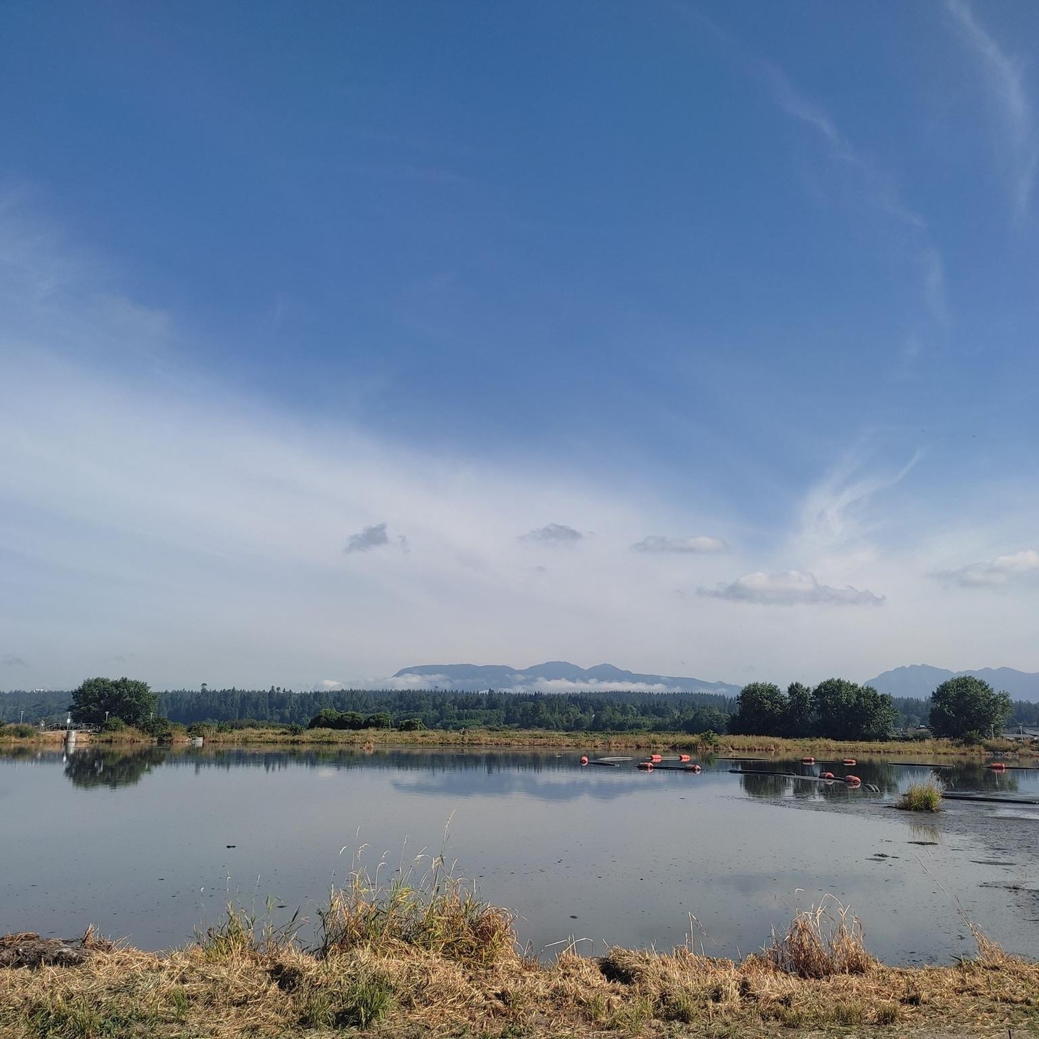
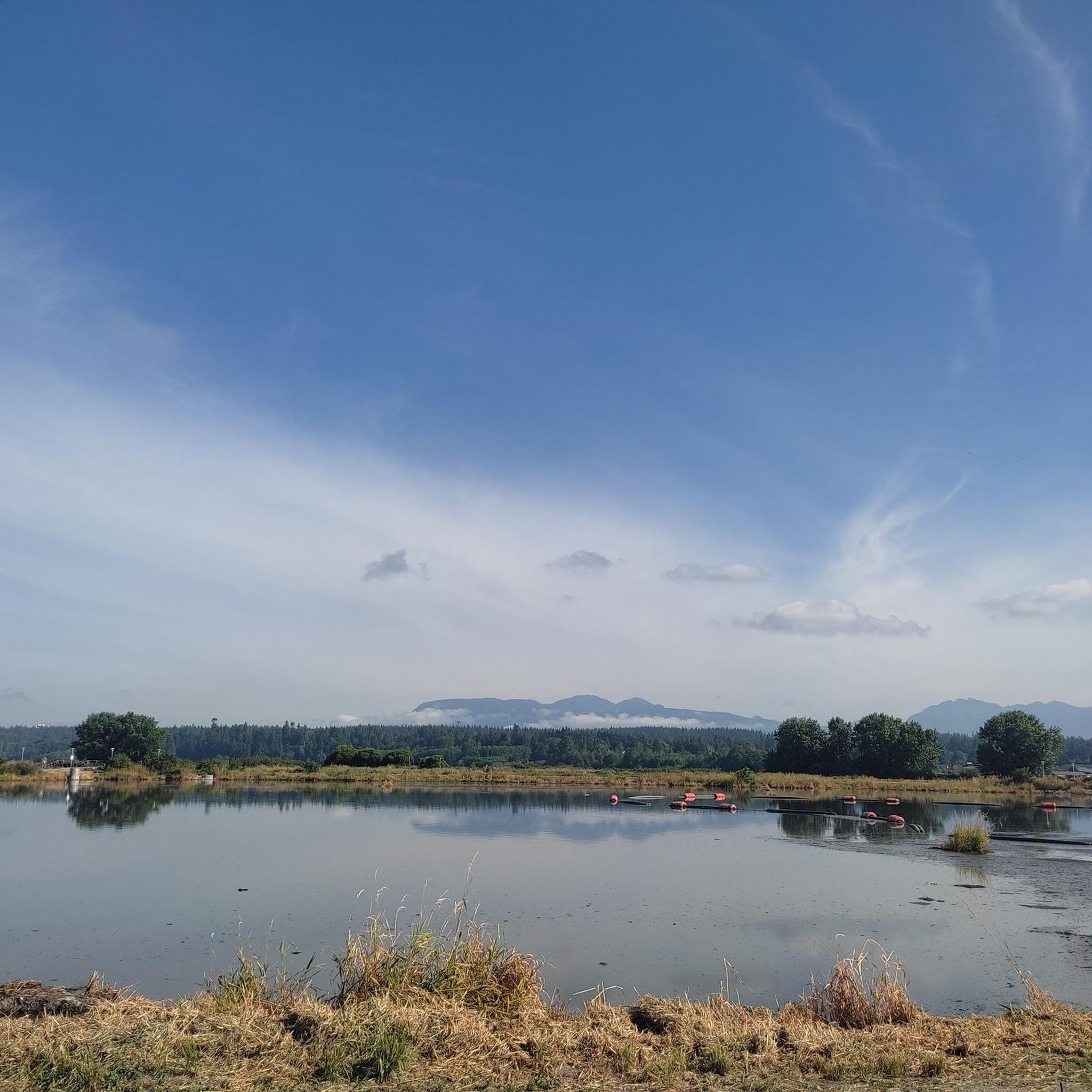
The North Arm of the Fraser River is the northernmost of the three main channels into which the Fraser River splits as it flows through the highly developed Fraser River Estuary and empties into the Strait of Georgia. While the North Arm is heavily industrialized, it remains an important spawning area for salmon.
0
0
Located on the banks of the North Arm of the Fraser River at the north end of Sea Island, McDonald Beach Park encompasses 10.5 hectares. It provides visitors with a large off-leash dog area, picnic facilities, and excellent vantage points for watching the working vessels navigating the river.
0
0
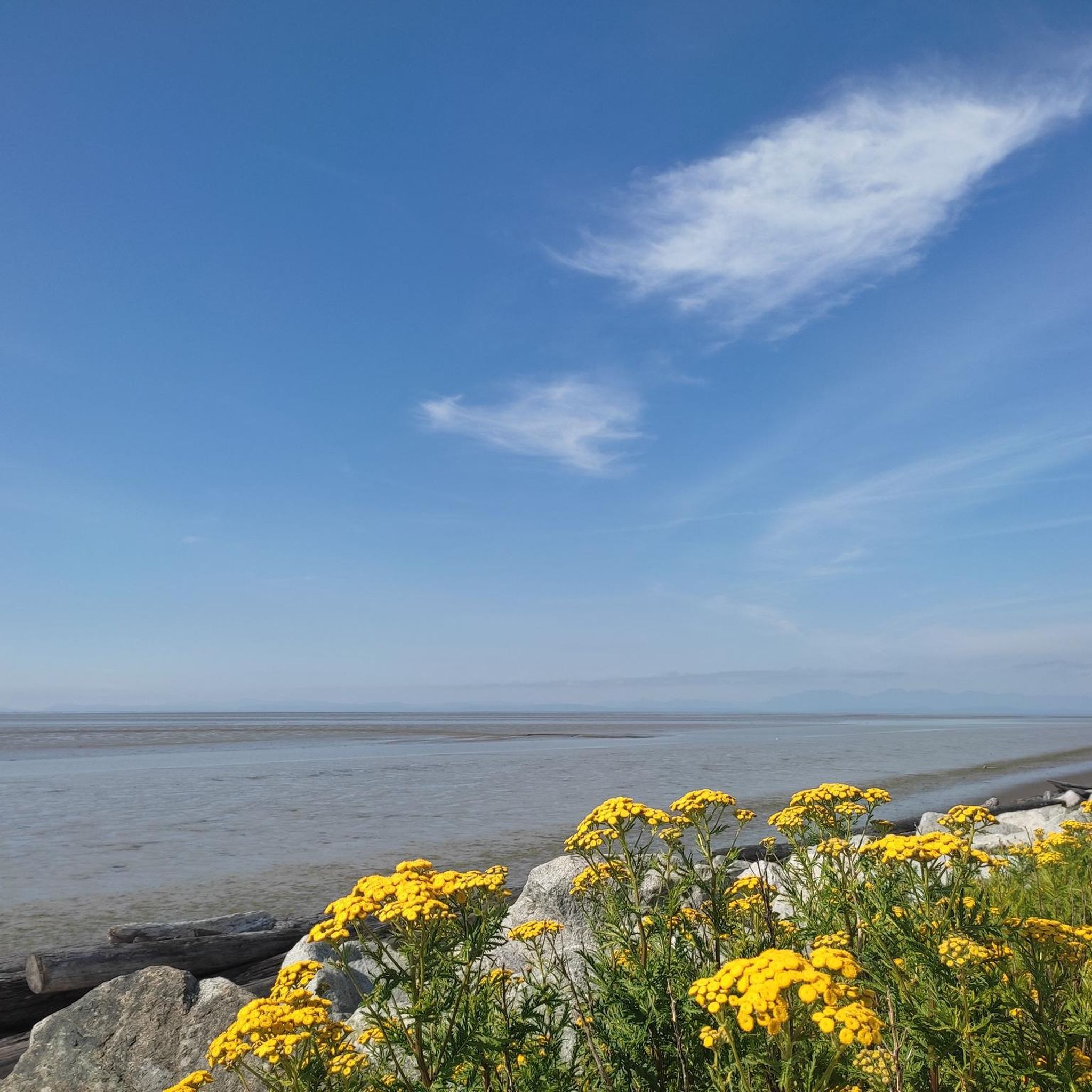
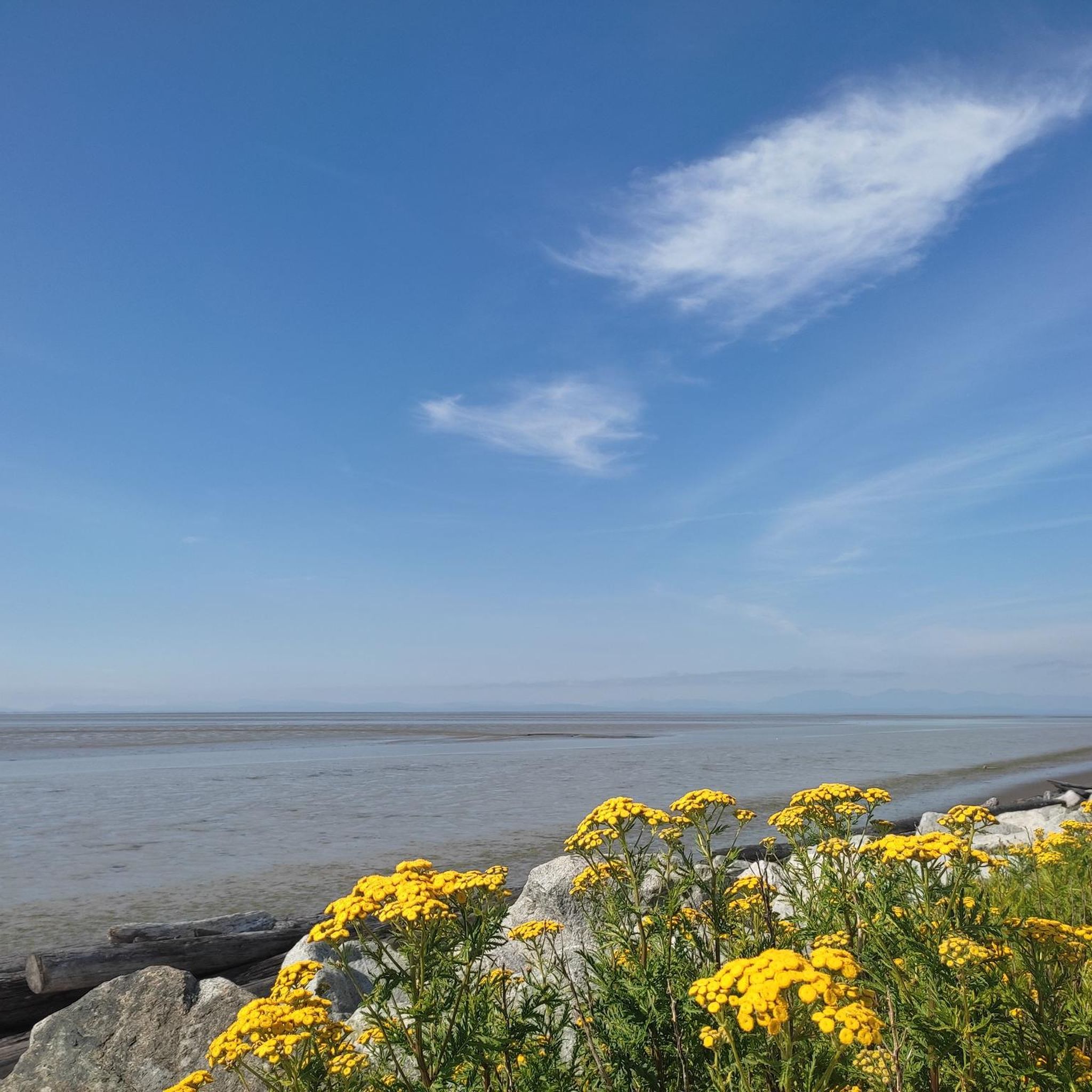
This is a great spot to take in the views of the Pacific Ocean. There are public restrooms, water fountains, and picnic tables.
0
0
Iona Beach Regional Park is located just northwest of Vancouver International Airport, at the point where the Fraser River meets the Pacific Ocean. Visitors can explore the shoreline or wander along the trails that wind through the grassy inland areas.
0
0
The Iona Spit Trail runs 4 km along the Iona Jetty, which stretches out into the Strait of Georgia. The path is popular with walkers, joggers, and cyclists, and it’s a great spot to see wildlife—as well as the occasional plane taking off from Vancouver International Airport.
0
0
Frequently Asked Questions
How many hiking trails are available in Iona Beach Regional Park?
Iona Beach Regional Park offers a wide variety of hiking experiences, with nearly 170 routes available. These range from easy strolls to more moderate paths, catering to different preferences and fitness levels.
What kind of terrain can I expect on the trails in Iona Beach Regional Park?
The park's trails are predominantly flat and accessible, often following the long jetties that extend into the Strait of Georgia. You'll find concrete and gravel surfaces on routes like the Iona Jetty Trail, as well as sandy areas, marshlands, and paths through grassy inland sections. Some routes, like the North Arm Jetty, can be rougher and are best explored at low tide.
Are there any easy hiking trails suitable for beginners or families?
Yes, Iona Beach Regional Park is known for its accessible and easy trails. Over 100 routes are classified as easy. A great option for families is the Iona Beach Trail loop, an easy 6.6 km path offering ocean views and birdwatching opportunities.
What unique natural features can I see while hiking in the park?
The park is defined by its two significant jetties, the Iona Jetty and the North Arm Jetty, which channel water from the Fraser River into the Strait of Georgia. You'll also encounter diverse marshlands, a lagoon area, and sandy beaches, all part of the vital Fraser River estuary ecosystem. From the Iona Terminus, enjoy panoramic views of the Pacific Ocean, Vancouver's coastline, and the North Shore Mountains.
Is Iona Beach Regional Park a good place for birdwatching or wildlife spotting?
Absolutely. Iona Beach Regional Park is a renowned birdwatching hotspot, especially during spring and fall migrations, hosting over 300 species annually. You might spot herons, hawks, eagles, and hummingbirds. Beyond birds, keep an eye out for seals in the water and even turtles in the marshlands.
Are dogs allowed on the hiking trails in Iona Beach Regional Park?
Yes, dogs are generally welcome in Iona Beach Regional Park, but they must be kept on a leash at all times. Please ensure you clean up after your pet to help maintain the park's natural environment for all visitors and wildlife.
What do other hikers enjoy most about Iona Beach Regional Park?
The area is highly rated by the komoot community, with an average score of 4.7 stars. Reviewers often praise the park's flat, accessible trails, the stunning panoramic ocean and mountain views, and the exceptional opportunities for birdwatching and plane spotting due to its proximity to the airport.
Are there any circular hiking routes in Iona Beach Regional Park?
Yes, the park offers several circular routes. The Iona Beach Trail loop is a popular easy option, and the Musqueam Park and Fraser River Trail Loop also provides a varied circular experience along the Fraser River.
How can I get to Iona Beach Regional Park using public transport?
Iona Beach Regional Park is accessible by public transport. You can take a bus to the vicinity of the park, though direct access to the main trailheads might require a short walk. It's advisable to check TransLink's official website for the most current routes and schedules to plan your journey.
Is there parking available at Iona Beach Regional Park?
Yes, there is ample parking available at Iona Beach Regional Park, making it convenient for visitors arriving by car. Follow the signage upon arrival to designated parking areas.
What is the best time of year to visit Iona Beach Regional Park for hiking?
Iona Beach Regional Park is enjoyable year-round. Spring and fall are particularly excellent for birdwatching due to migratory patterns. Summer offers pleasant weather for long walks along the jetties, while winter can provide crisp air and unique views, though some paths might be rougher.
Are there any other interesting activities besides hiking in the park?
Beyond hiking, the park is a prime location for birdwatching, with over 300 species recorded. Its proximity to Vancouver International Airport also makes it a unique spot for plane spotting. The sandy areas above the high tide line are perfect for picnics, and you can often spot seals in the water.
Most popular routes in Iona Beach Regional Park

Get inspired with the komoot mobile app


Explore more
Browse the best Hikes in other regions.
