Airline State Park Trail (Northern Section)
Airline State Park Trail (Northern Section)
The best cycling routes in Airline State Park Trail (Northern Section)
5.0
(13)
121
riders
23
rides
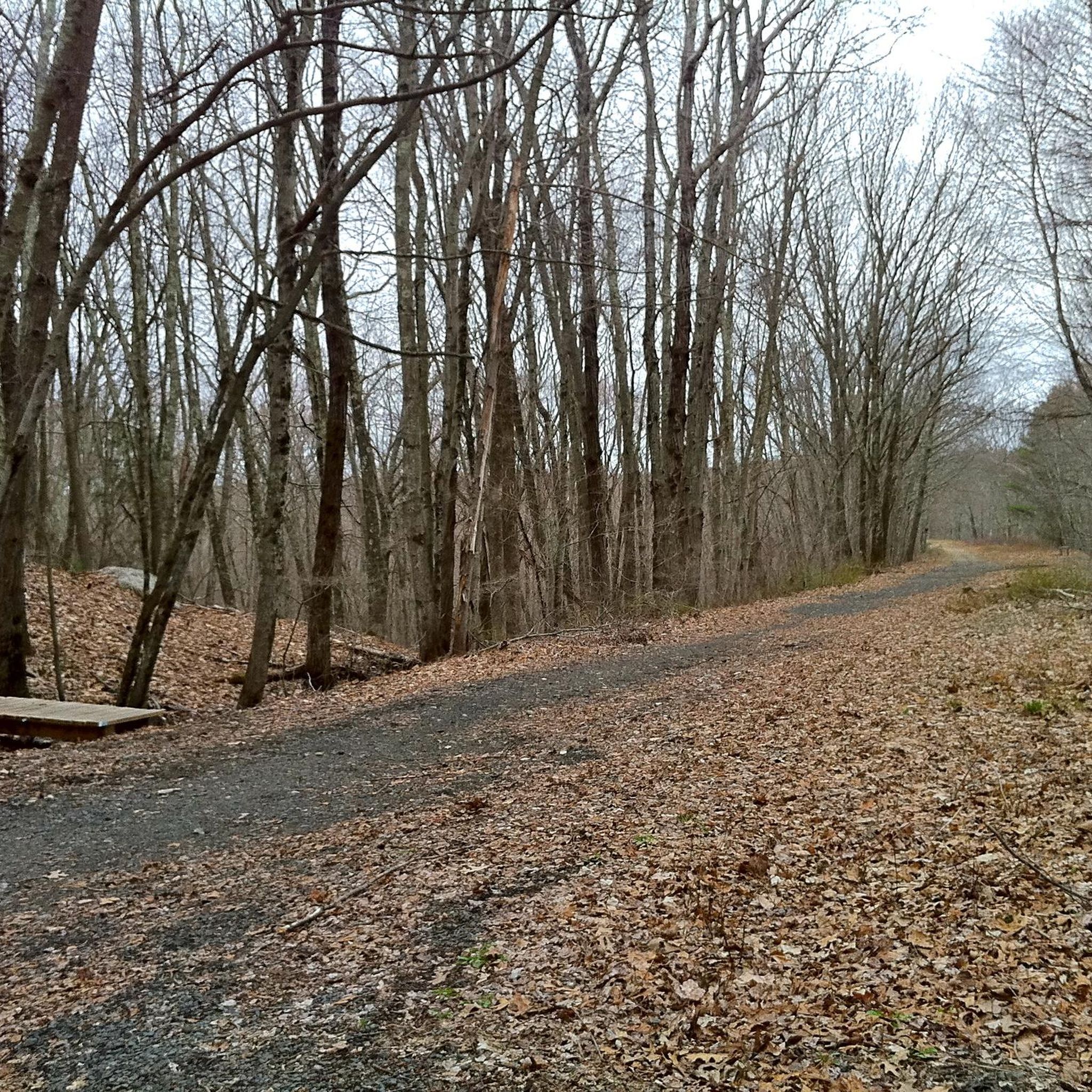
Touring cycling in Airline State Park Trail (Northern Section) offers routes primarily along a converted rail trail, characterized by generally flat terrain and dense woodlands. The region provides a consistent surface suitable for various touring bicycles, often following former railway corridors. These trails typically feature a gentle gradient, making them accessible for different fitness levels. The landscape is dominated by mature trees, offering shade and a natural setting for cycling.
Best touring cycling routes in Airline State Park Trail (Northern…
Last updated: October 18, 2026
5.0
(2)
13
riders
Moderate bike ride. Good fitness required. Mostly paved surfaces. Suitable for all skill levels.
7
riders
8.66km
00:48
50m
60m
Easy bike ride. Great for any fitness level. Mostly paved surfaces. Suitable for all skill levels.

5
riders
33.3km
02:15
240m
240m
Moderate bike ride. Good fitness required. Mostly paved surfaces. Suitable for all skill levels.
5.0
(9)
31
riders
46.9km
04:06
210m
210m
Moderate bike ride. Good fitness required. Mostly paved surfaces. Suitable for all skill levels.
10
riders
30.5km
02:31
120m
120m
Moderate bike ride. Good fitness required. Mostly paved surfaces. Suitable for all skill levels.
Get access to more routes and recommendations from other explorers.
Already have an account?
Our route recommendations are based on thousands of hikes, rides, and runs completed by other people on komoot.
Start today with a free account
Your next adventure awaits.
Popular around Airline State Park Trail (Northern Section)


Tips from the Community

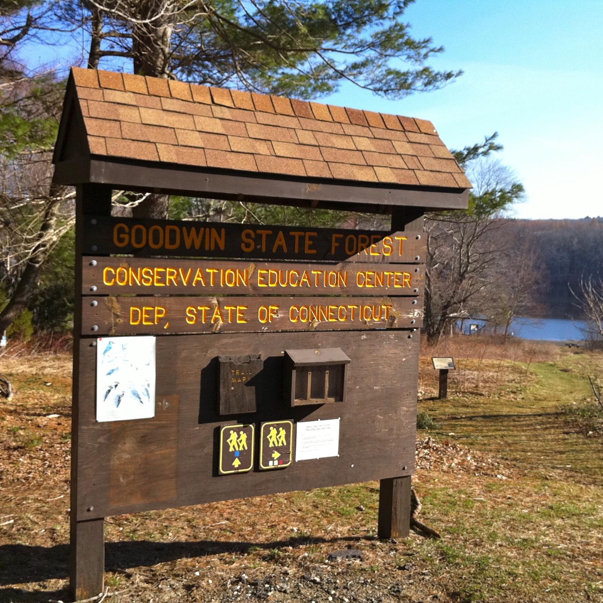
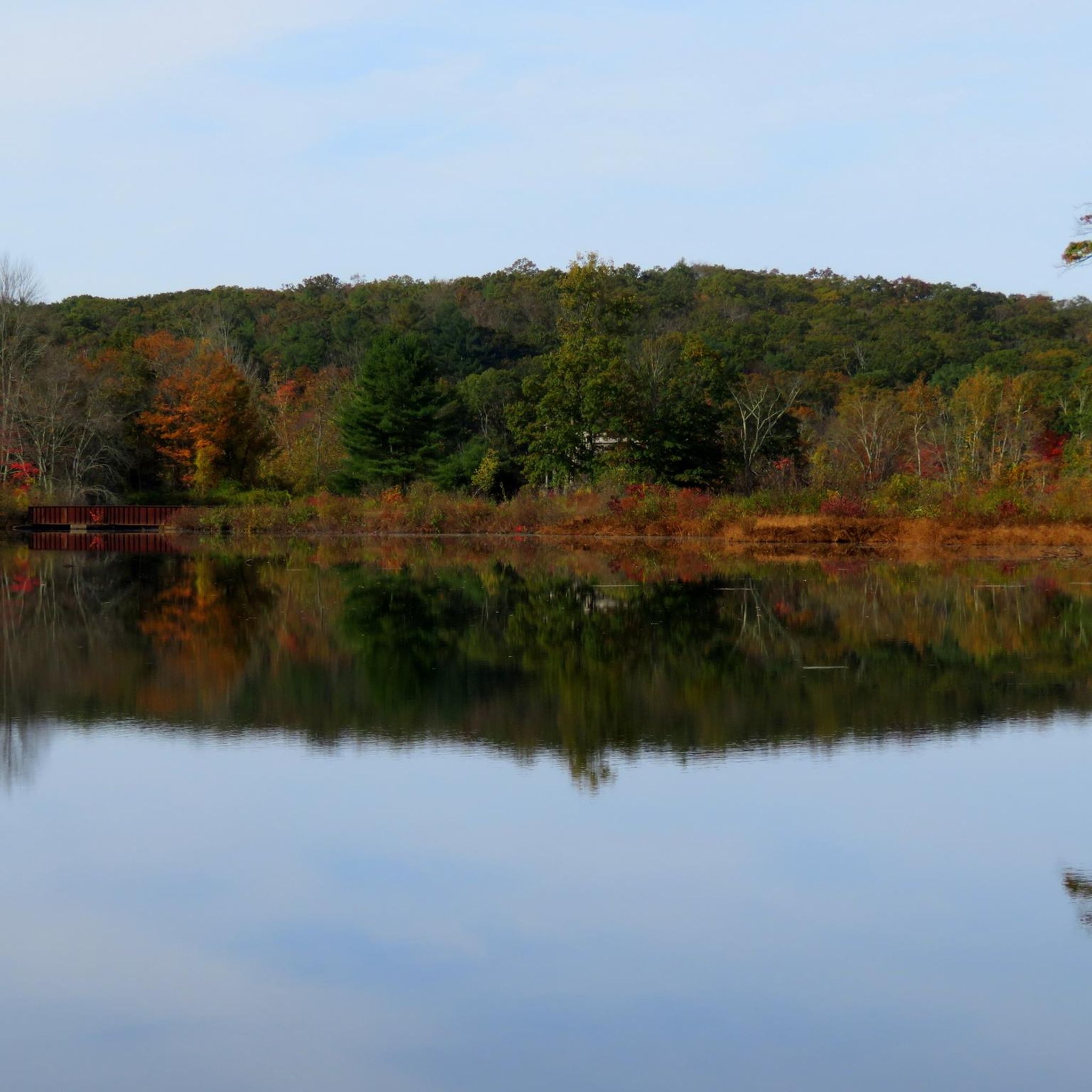
At the junction of the Airline Trail and Natchaug Trail in James L. Goodwin State Forest, hikers have two enticing options. Following the Natchaug Trail leads deeper into the forest, eventually reaching the serene Black Spruce Pond. Alternatively, continuing along the Airline Trail provides beautiful views of the 135-acre Pine Acres Lake. Both routes offer unique scenic experiences, showcasing the diverse beauty of the forest.
0
0

Gateway to many gnarly mtb trails and the gravel/dirt roads of eastern CT
0
0

The James L. Goodwin State Forest is a Connecticut state forest that spans around 2,000 acres. The land was donated by James L. Goodwin to the state in 1964. This forest can be seen along the East Coast Greenway near Pine Acres Lake.
0
0

This park runs alongside the Willimantic River, providing scenic views of the water. On the opposite side, there are train tracks where you can occasionally observe interesting carts passing by.
0
0
The Airline State Park Trail is divided into sections, and the northern section spans 21 miles from Windham to Putnam, making it a popular rail trail among hikers, runners, and bikers.
0
0
The East Coast Greenway is a paved multi-use path that passes through 15 states and is over 3,000 miles long from Maine to Florida.
0
0
The James L. Goodwin State Forest is a Connecticut state forest that spans around 2,000 acres. The land was donated by James L. Goodwin to the state in 1964. This forest can be seen along the East Coast Greenway near Pine Acres Lake.
0
1

The Hop Park State Trail is part of the larger and expansive East Coast Trail. This section showcases stunning wooded areas and shaded pathways. This section is also fine for a road bike with thinner tires and a lightweight frame.
0
0
Frequently Asked Questions
What is the typical difficulty of touring cycling routes in Airline State Park Trail (Northern Section)?
The region, primarily a converted rail trail, generally offers routes with a gentle gradient, making many accessible for various fitness levels. While there are 2 easy and 2 difficult routes, the majority (12 out of 16) are rated as moderate.
Are there family-friendly touring cycling routes in Airline State Park Trail (Northern Section)?
Yes, the generally flat terrain and gentle gradients of the converted rail trails make many routes suitable for families. For instance, the Bike loop from Airline State Park Trail (Northern Section) is an easy 5.4-mile (8.7 km) path through wooded sections, ideal for a shorter family outing.
Are dogs allowed on the touring cycling trails in Airline State Park Trail (Northern Section)?
While the guide focuses on cycling, many rail trails in the US are dog-friendly, often requiring dogs to be on a leash. It's always best to check specific trail regulations or local park rules before bringing your dog along.
What is the best season to go touring cycling in Airline State Park Trail (Northern Section)?
The region's dense woodlands offer shade, making spring, summer, and fall pleasant for cycling. Fall is particularly scenic with changing foliage. Winter cycling is possible, but conditions may vary, and some sections could be icy or snow-covered.
Are there any circular touring cycling routes available?
Yes, there are several circular routes. A popular option is the East Coast Greenway – James L. Goodwin State Forest loop from Ann A. Wright Preserve, which is 34.1 miles (54.9 km). For a shorter loop, consider the East Coast Greenway loop from Ann A. Wright Preserve, an easy 9.3 miles (14.9 km) path.
What kind of scenery or viewpoints can I expect along the routes?
The routes primarily wind through dense woodlands, offering a natural setting with mature trees. As a converted rail trail, you can expect consistent surfaces and a peaceful, shaded environment. While specific named viewpoints are not highlighted, the continuous natural landscape provides a serene experience.
How many touring cycling routes are there in Airline State Park Trail (Northern Section)?
There are over 15 touring cycling routes available in Airline State Park Trail (Northern Section) for you to explore, catering to various skill levels.
What do other touring cyclists enjoy most about cycling in Airline State Park Trail (Northern Section)?
The area is highly rated by the komoot community, with an average score of 5.0 stars from over 9 reviews. Reviewers often praise the consistent surface of the rail trails, the peaceful wooded corridors, and the generally flat profiles that make for enjoyable rides.
Are there options for beginner touring cyclists?
Absolutely. The region features routes with a gentle gradient, making them very accessible for beginners. For example, the Bike loop from Airline State Park Trail (Northern Section) is an easy 5.4-mile (8.7 km) trail, perfect for those new to touring cycling.
What are some less crowded touring cycling options in the area?
While the main rail trail sections can be popular, exploring some of the less-trafficked loops or routes that venture slightly off the main corridor might offer a quieter experience. Consider routes like the Andover Memorial Bridge – Andover loop from Willimantic for a potentially less crowded ride.
What are the typical distances for touring cycling routes in this area?
Routes vary in length. For example, the East Coast Greenway loop from Ann A. Wright Preserve is about 9.3 miles (14.9 km), while the East Coast Greenway – James L. Goodwin State Forest loop from Ann A. Wright Preserve extends to 34.1 miles (54.9 km).
Most popular routes in Airline State Park Trail (Northern Section)

Get inspired with the komoot mobile app


Explore more
Browse the best Cycling routes in other regions.
