The best walks and hikes around Hürtgenwald
4.6
(6234)
20,580
hikers
440
hikes
Hiking around Hürtgenwald offers diverse natural beauty within Germany's Düren district, situated at the northern edge of the Eifel mountains and within the High Fens – Eifel Nature Park. The terrain features dense forests, rolling hills, and plunging valleys, with deep valleys often thickly forested and hilltop plateaus cleared for agriculture. Key natural features include the Kall Valley, the Rur River, and reservoirs such as the Wehebachtalsperre and Obermaubach Reservoir.
Best hiking trails around Hürtgenwald
- The most popular hiking route is View of the Wehebachtalsperre – Dam of the Wehebach dam loop from Fernmeldeturm Großhau, a difficult 14.6 miles (23.6 km) trail that takes 6 hours 31 minutes to complete. This route offers views of the Wehebachtalsperre reservoir and surrounding forested hills.
- Another top favourite among local hikers is View of the Obermaubach Reservoir – Obermaubach Reservoir loop from Kalltal und Nebentäler, a moderate 6.3 miles (10.1 km) path. This trail provides scenic views of the Obermaubach Reservoir and the Kalltal area.
- Local hikers also love the Todtenbruch Soil Trail – Private First Class Robert Cahow Memorial Site loop from Vossenack, a 9.5 miles (15.2 km) trail leading through historical landscapes, often completed in about 4 hours 11 minutes.
- Hiking around Hürtgenwald is defined by dense forests, rolling hills, deep valleys, and historical sites from World War II. The network of trails offers options for easy, moderate, and difficult routes, catering to various ability levels.
- The routes in Hürtgenwald are highly rated by the komoot community with an average score of 4.6 stars from over 5,200 reviews. More than 20,000 hikers have used komoot to explore Hürtgenwald's varied terrain.
Last updated: October 13, 2026
4.7
(455)
1,390
hikers
9.30km
02:42
250m
250m
Moderate hike. Good fitness required. Easily-accessible paths. Suitable for all skill levels.
4.7
(198)
658
hikers
12.0km
03:19
220m
220m
Moderate hike. Good fitness required. Easily-accessible paths. Suitable for all skill levels.

4.5
(170)
459
hikers
Hard hike. Very good fitness required. Mostly accessible paths. Sure-footedness required.
4.4
(106)
332
hikers
15.2km
04:11
250m
250m
Moderate hike. Good fitness required. Easily-accessible paths. Suitable for all skill levels.
4.6
(76)
237
hikers
11.9km
03:25
290m
290m
Moderate hike. Good fitness required. Easily-accessible paths. Suitable for all skill levels.
Get access to more routes and recommendations from other explorers.
Already have an account?
Our route recommendations are based on thousands of hikes, rides, and runs completed by other people on komoot.
Start today with a free account
Your next adventure awaits.
Popular around Hürtgenwald
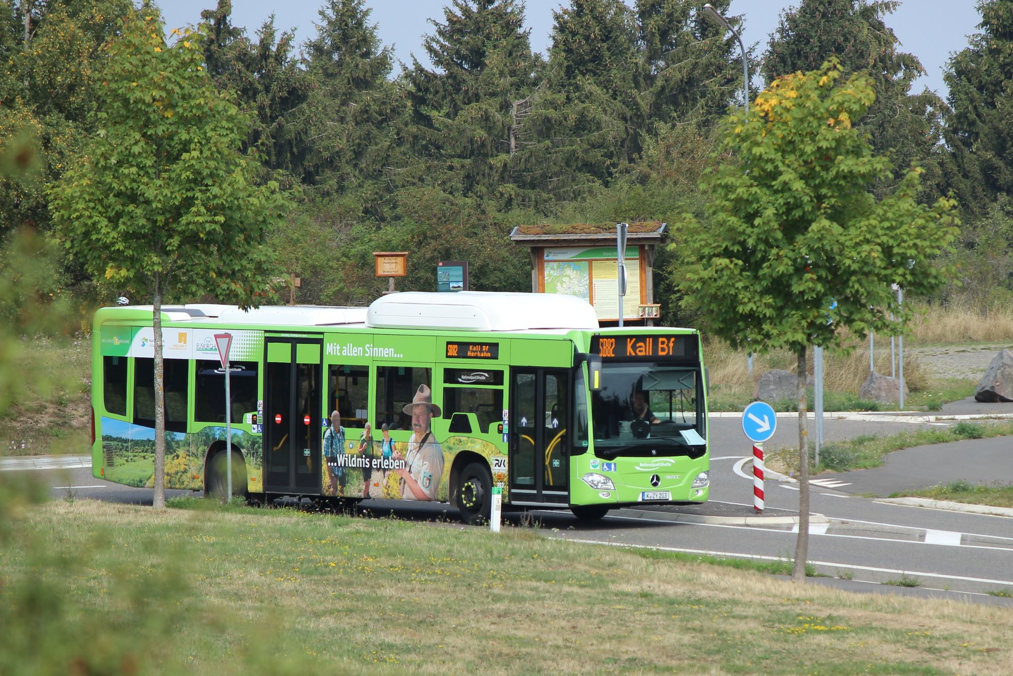
Next stop: Wilderness! – Germany’s Eifel National Park by public transport
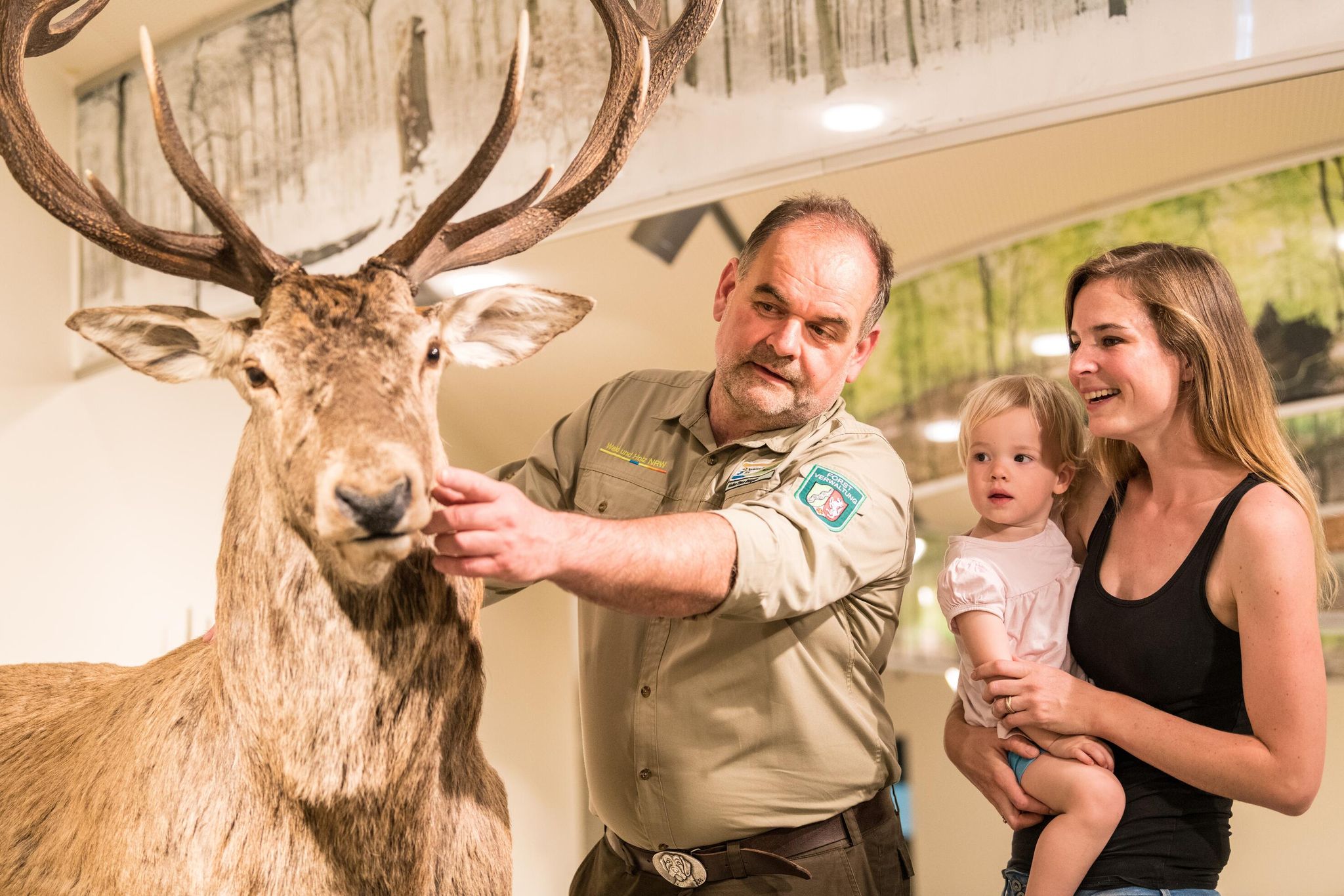
Eifel National Park information centres and facilities
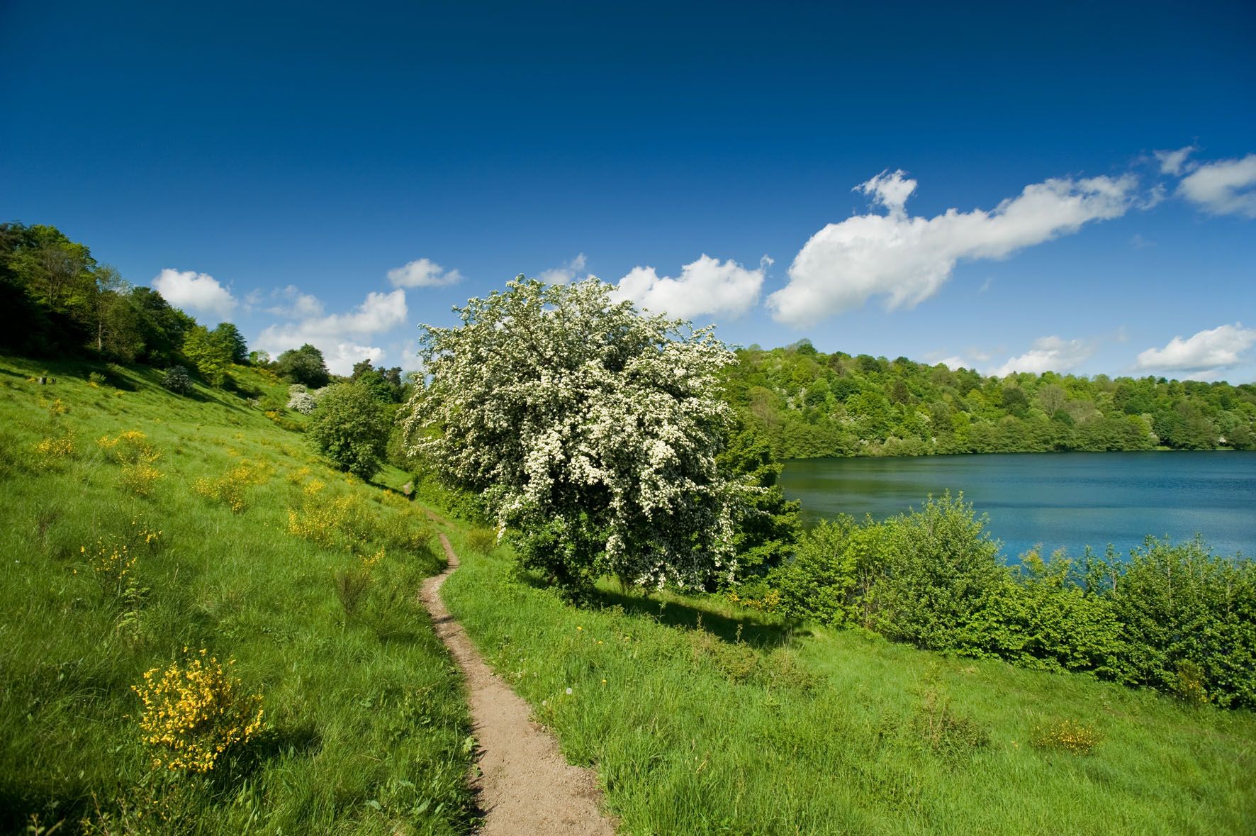
A long trail weekend in the Northern Eifel
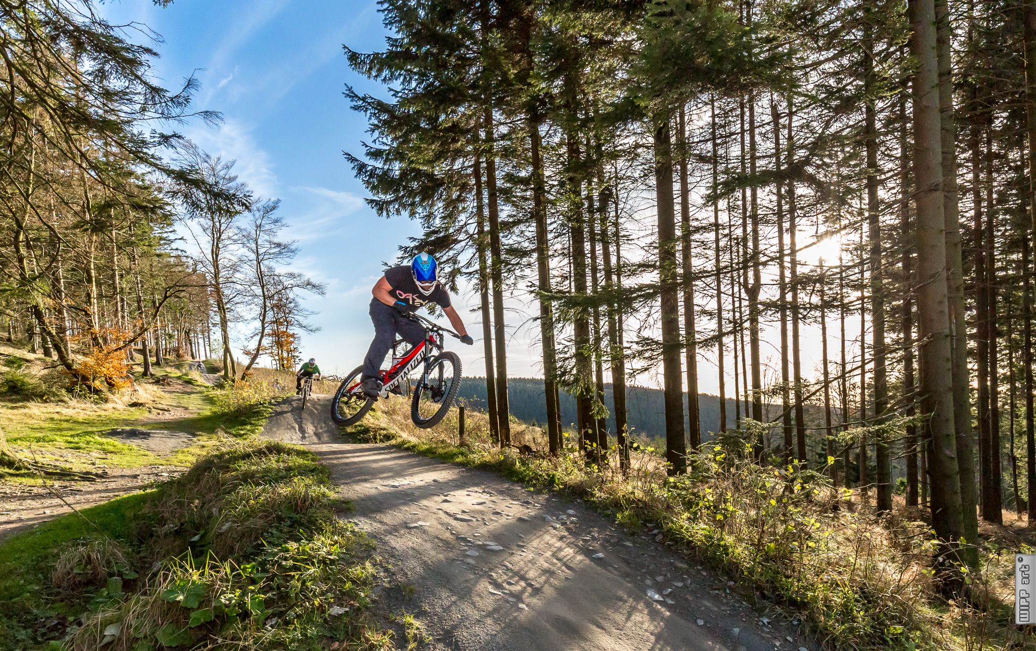
Bike parks in Western Germany
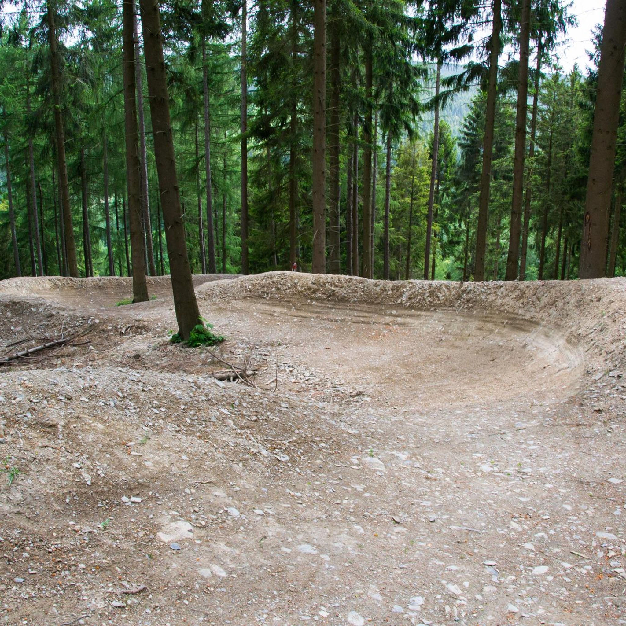
MTB Trails around Hürtgenwald
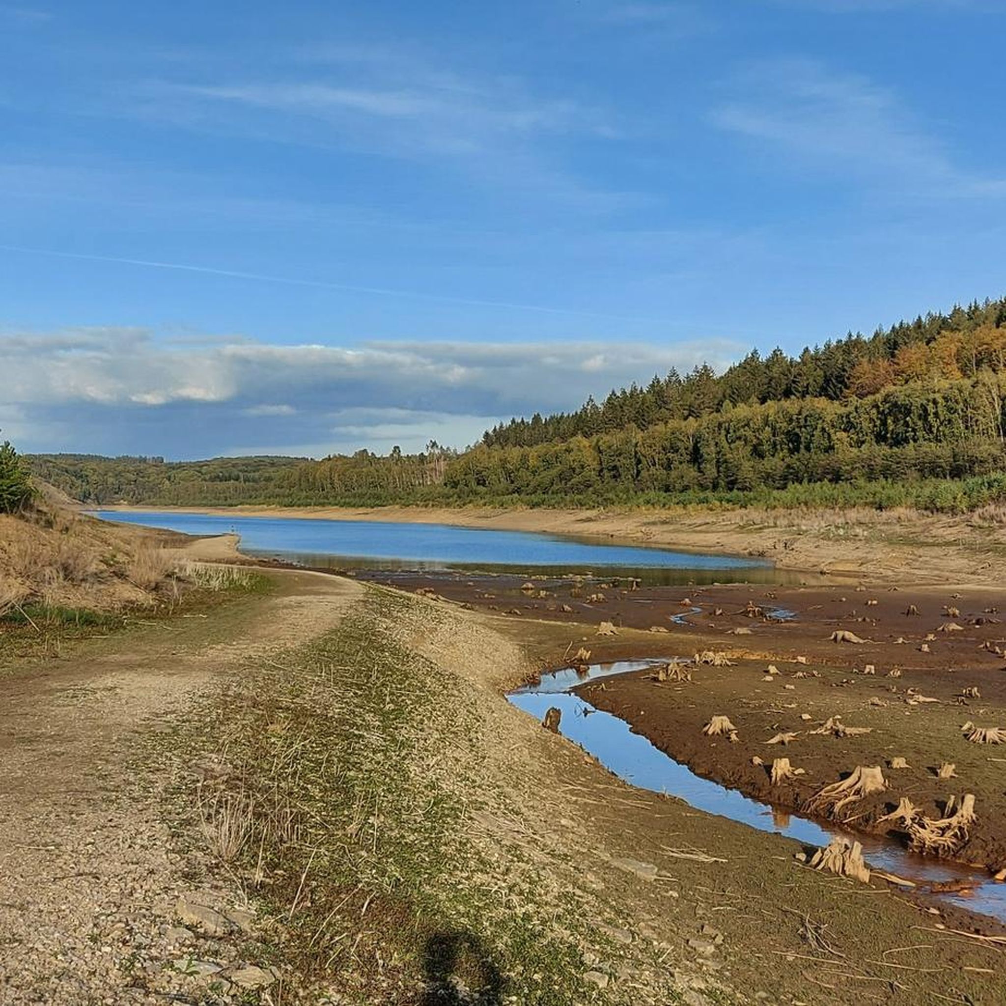
Cycling around Hürtgenwald
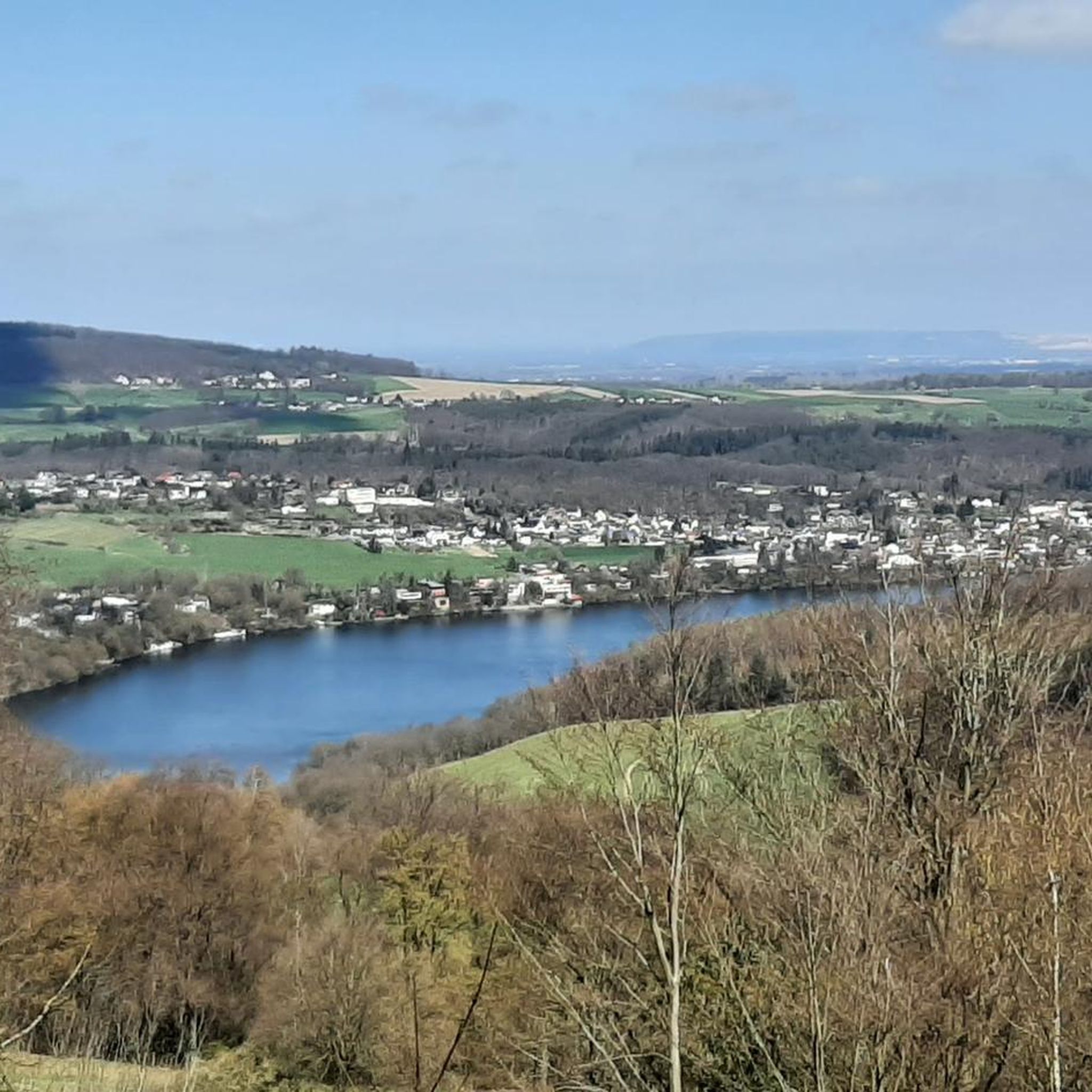
Running Trails around Hürtgenwald
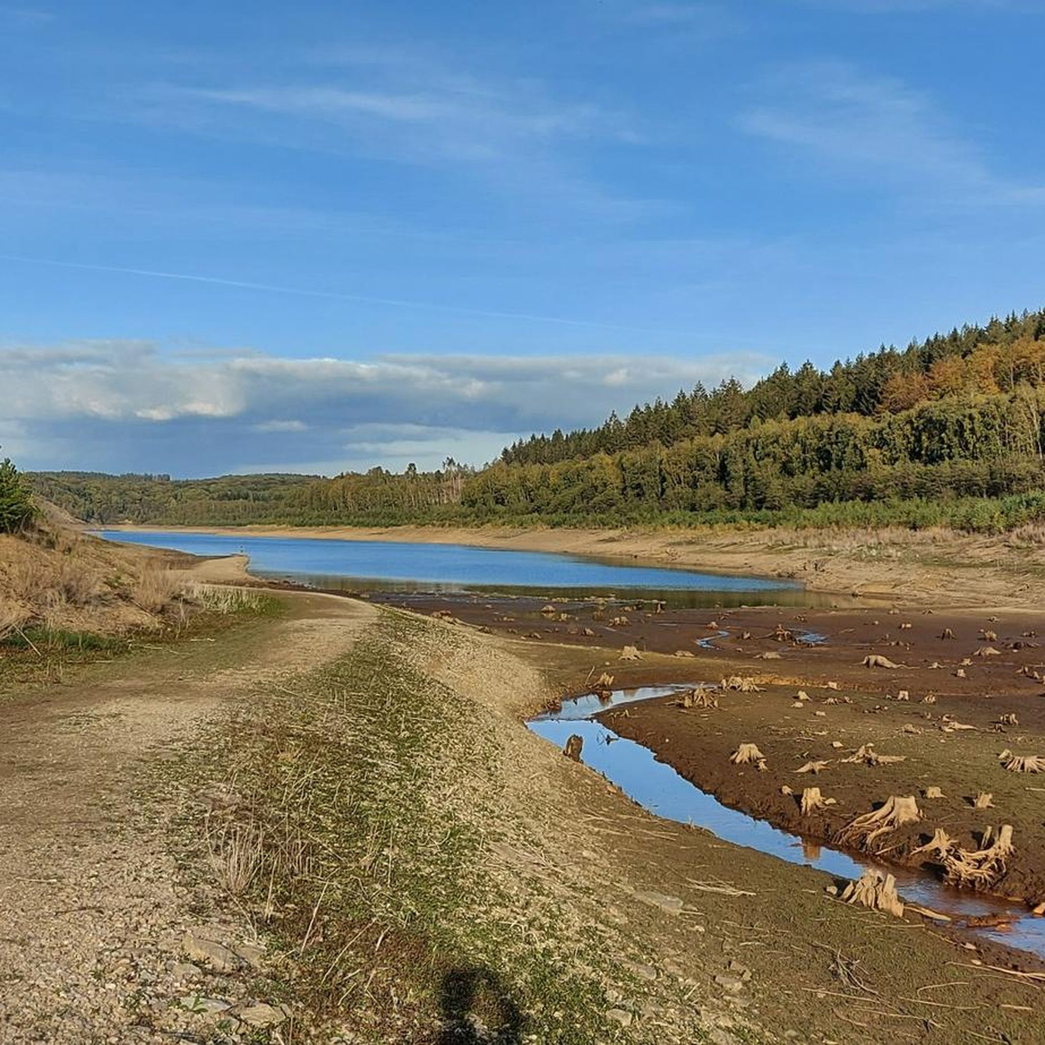
Road Cycling Routes around Hürtgenwald
Gravel biking around Hürtgenwald

Mountain Hikes around Hürtgenwald
Other adventures around Hürtgenwald


Tips from the Community

On the way, a memorial stone with a nameplate commemorates the first settlers of Raffelsbrand. It records the names of those who were involved in the construction of the settlement after the Second World War. Today, the stone stands on the edge of the Todtenbruch and thus commemorates the beginnings of the Raffelsbrand settlement and the difficult years of its construction.
1
0
The soil nature trail in the Todtenbruch near Hürtgenwald-Raffelsbrand vividly conveys knowledge about the soils and the landscape of the High Fens and its surrounding areas. On the approximately 4-kilometer circular route, several stations provide information about the different soil types and their formation. A special section leads over an approximately 700-meter-long boardwalk through the Todtenbruch moor. Here it becomes clear how peat could form under the wet conditions of the moor and how the landscape was shaped by water and soil. Along the path, exposed soil profiles offer insights into the structure of the different soil layers.
1
0

In view of the (in the worst sense of the word 'brand'-)current headlines about the devastating fire in the North Eifel (Hürtgenwald) and the nearby (Belgian) "Hohes Venn", the scale of which has so far reached unimaginable dimensions in the cross-border region, I recommend to nature-interested viewers a film documentary in the ZDF media library: An episode from the series »plan b« – titled "Forest protection in the climate crisis" – illuminates the background to the condition of our native forests and asks urgent questions. The contribution is available online at =>> https://www.zdf.de/play/dokus/plan-b-104/plan-b-waldschutz-in-der-klimakrise-100?staffel=2023
0
0
Given the (in the worst sense of the word 'brand') current headlines about the devastating fire in Hürtgenwald (DE) on the one hand, and the neighboring High Fens (BE) on the other, whose extent has so far reached unimaginable dimensions in Germany and Belgium, I recommend a film documentary in the ARD media library. It sheds light on the background and asks the exciting question: 'What comes after the forest fire?' If interested, see =>> https://www.ardmediathek.de/video/auf-spurensuche-oder-ard-wissen/was-kommt-nach-dem-waldbrand/mdr/Y3JpZDovL21kci5kZS9iZWl0cmFnL2Ntcy8yNTU5M2JlZC03MzIwLTRmZmEtYjYzMy1hNmNmMjg5OTJkNzU
0
0

Beautiful hiking trail to the Mestrenger Mill.
2
0


A very beautiful spot here with the stream and the mill.
2
0
Frequently Asked Questions
How many hiking trails are available in Hürtgenwald?
Hürtgenwald offers a wide variety of hiking experiences, with over 450 routes documented. These include 244 easy, 192 moderate, and 19 difficult trails, ensuring options for every skill level.
Are there easy hiking trails suitable for families in Hürtgenwald?
Yes, Hürtgenwald is well-suited for family outings, featuring over 240 easy hiking trails. Many routes are designed to be accessible for all ages, such as the circular trail within the Hochwildpark Rheinland, where families can observe various animal species.
Can I find challenging hikes in the Hürtgenwald area?
For experienced hikers seeking a challenge, Hürtgenwald offers 19 difficult routes. One notable challenging trail is the View of the Wehebachtalsperre – Dam of the Wehebach dam loop from Fernmeldeturm Großhau, which is 14.6 miles (23.6 km) long and takes over 6 hours to complete, offering rewarding views of the Wehebachtalsperre reservoir.
Are there circular hiking routes in Hürtgenwald?
Yes, many of the trails in Hürtgenwald are circular, allowing you to start and end at the same point. The Kalltalweg is a well-known circular route that follows the Kall river, and the View of the Obermaubach Reservoir – Obermaubach Reservoir loop from Kalltal und Nebentäler is another popular moderate circular path offering scenic views.
What is the best time of year to go hiking in Hürtgenwald?
The best seasons for hiking in Hürtgenwald are spring and autumn. In spring, the region comes alive with abundant wildflowers, while autumn offers a spectacular display of changing leaves, making for picturesque walks through the dense forests.
Are dogs allowed on the hiking trails in Hürtgenwald?
Hürtgenwald is generally dog-friendly, with many trails suitable for walks with your canine companion. It's always recommended to keep dogs on a leash, especially in nature reserve areas or near wildlife, and to check specific trail regulations before you go.
What historical sites can I explore while hiking in Hürtgenwald?
Hürtgenwald holds significant historical importance from World War II. Hikers can encounter remnants of this history, such as old trenches, bunkers (part of the Siegfried Line/Westwall), and memorial sites. The Todtenbruch Soil Trail – Private First Class Robert Cahow Memorial Site loop from Vossenack leads through historical landscapes, and the Bunker 132 (Westwall) – Simonskall loop from Senkelbachquellen offers a direct encounter with a historical bunker.
Are there any notable natural attractions or landmarks to see?
Hürtgenwald boasts diverse natural beauty. You can explore the narrow, steep Kall Valley with its river and floodplains, or enjoy views of reservoirs like the Wehebachtalsperre and Obermaubach Reservoir. The region also features idyllic wet meadows and numerous streams. For unique geological formations, consider visiting highlights like the Teufelstritt Rock Formation or various Bat Caves in the area.
How can I get to the hiking trails in Hürtgenwald using public transport?
While specific public transport options vary by trailhead, Hürtgenwald is part of the Düren district, which has regional bus services. It's advisable to check local bus schedules and routes connecting to villages within Hürtgenwald, such as Vossenack or Simonskall, to access trailheads. Planning your route in advance using public transport apps is recommended.
Is parking available near the trailheads in Hürtgenwald?
Yes, parking is generally available near popular trailheads and villages throughout Hürtgenwald. Many starting points for hiking routes, especially those leading to reservoirs or historical sites, offer designated parking areas. However, during peak seasons, these can fill up quickly, so arriving early is advisable.
What do other hikers say about the trails in Hürtgenwald?
The trails in Hürtgenwald are highly rated by the komoot community, with an average score of 4.6 stars from over 5,200 reviews. Hikers often praise the region's dense forests, rolling hills, and the peaceful solitude found on many paths. The diverse terrain and historical elements are also frequently highlighted as unique aspects of the hiking experience.
Are there any long-distance hiking opportunities in Hürtgenwald?
Yes, Hürtgenwald is integrated into longer hiking networks. It forms part of trails like the "Forest-Water-Wilderness Trail," which connects the lignite mining area of Inden with the Eifel National Park, and the historical "Coronation Route" (Krönungsweg) from Bonn to Aachen. These offer opportunities for multi-day treks or longer sections of hiking.
What kind of landscapes can I expect to see while hiking here?
Hürtgenwald's landscape is characterized by dense forests, rolling hills, and plunging valleys. You'll find deep, thickly forested valleys contrasting with hilltop plateaus cleared for agriculture. Key features include the Kall Valley, the Rur River, and several reservoirs like the Wehebachtalsperre and Obermaubach Reservoir, all contributing to a diverse and scenic hiking environment.
Most popular routes around Hürtgenwald
Most popular attractions around Hürtgenwald

Get inspired with the komoot mobile app


Explore more
Browse the best Hikes in other regions.
