The best walks and hikes in High Weald Aonb
4.5
(4300)
24,107
hikers
1,541
hikes
Hiking in High Weald Aonb offers a distinctive medieval landscape characterized by a deeply incised, ridged, and faulted landform of clays and sandstone. The region features elevated sandstone ridges, steep clay valleys, and numerous gill streams. It is one of England's most densely wooded areas, with extensive ancient woodlands, small irregularly shaped fields, and prominent heathlands. This geological and historical composition provides varied terrain for outdoor activities.
Best hiking trails in High Weald Aonb
- The most popular hiking route is Ouse Valley Viaduct and Ardingly Reservoir Circular Walk, a 7.3 miles (11.7 km) trail that takes 3 hours 8 minutes to complete, offering views of the historic viaduct and reservoir.
- Another top favourite among local hikers is Bewl Water loop, a difficult 13.6 miles (21.9 km) path that circumnavigates the largest inland body of water in Southeast England, providing expansive reservoir views.
- Local hikers also love the Ashdown Forest and Five Hundred Acre Wood loop — High Weald, a 10.2 miles (16.4 km) trail leading through ancient heathland forests, often completed in about 4 hours 29 minutes.
- Hiking in High Weald Aonb is defined by its medieval landscape, dense ancient woodlands, and prominent heathlands, with options for various ability levels.
- The routes in High Weald Aonb are highly rated by the komoot community with an average score of 4.5 stars from more than 3,600 reviews. More than 21,000 hikers have used komoot to explore High Weald Aonb's varied terrain.
Last updated: October 10, 2026
4.8
(355)
1,327
hikers
11.7km
03:08
130m
130m
Embark on a moderate 7.3-mile (11.7 km) hike that takes you through varied landscapes, offering a rewarding outdoor experience. You'll gain 430 feet (131 metres) in elevation, with the route typically taking around 3 hours and 7 minutes to complete. The highlight is undoubtedly the magnificent Ouse Valley Viaduct, a stunning Victorian railway bridge, which you'll encounter along the way. The path also leads you past the serene waters of Ardingly Reservoir, providing tranquil views. Expect to wander through charming Sussex countryside, including peaceful woodlands and open fields, making for a diverse and engaging journey.
You have several convenient options to begin your hike. Consider starting from Balcombe village, Balcombe train station, or the Ardingly Reservoir car park. If you choose the Ardingly Reservoir car park, you'll find facilities like a cafe and toilets nearby, which makes it a practical choice for your starting point. This circular route allows for flexibility in where you join the path, ensuring easy access for your day out.
This route stands out for its unique blend of historical architecture and natural beauty within the High Weald Area of Outstanding Natural Beauty. The Ouse Valley Viaduct itself is a Grade II listed structure, showcasing impressive Victorian engineering. Additionally, Ardingly Reservoir is designated as a Local Nature Reserve, highlighting its ecological importance. The trail offers a chance to appreciate both human ingenuity and the tranquil natural environment of Sussex.
4.8
(65)
498
hikers
21.9km
05:46
190m
190m
Embark on the challenging Bewl Water loop, a difficult hike that traces the perimeter of the expansive reservoir. This 13.6-mile (21.9 km) route will lead you through a varied landscape of woodland tracks, open fields, and quiet country lanes, offering a true taste of the High Weald's rolling hills and tranquil waterside. You will gain 608 feet (185 metres) in elevation, with an estimated duration of 5 hours and 46 minutes. Keep an eye out for the specific 'View of the Lake in High Weald National Landscape' highlight, which provides expansive vistas across the water.
Planning your visit, be aware that the paths can become quite muddy or

4.7
(94)
273
hikers
16.4km
04:29
260m
260m
This moderate hike through Ashdown Forest and Five Hundred Acre Wood offers a diverse landscape, transitioning from open heathland with expansive views to dense, ancient woodland. You will traverse areas of heather, gorse, and pine, then enter a forest of beech, silver birch, and sweet chestnut trees. The 10.2-mile (16.4 km) loop involves a steady climb of 848 feet (259 metres) to the forest heights, taking about 4 hours and 28 minutes to complete.
While generally accessible, some sections require sure-footedness, and the initial parts in the Low Weald can be muddy due to clay soils. As you ascend into Ashdown Forest, the sandstone terrain typically provides drier walking conditions. This route is suitable for most hikers with good fitness, offering a rewarding experience through varied terrain and scenery.
The trail is famously known as the inspiration for A.A. Milne's Winnie-the-Pooh stories, with many real-life locations mirroring those in the books. You can discover the Five Hundred Acre Wood, visit Pooh Bridge to play Poohsticks, and imagine characters like Eeyore and Roo in their respective places. This connection makes the hike particularly popular with families and children, adding a touch of literary magic to your outdoor adventure.
4.3
(55)
158
hikers
8.83km
02:22
100m
100m
Embark on the Bodiam Castle loop from Sandhurst Cross, a moderate hiking route that guides you through the picturesque High Weald National Landscape. This 5.5-mile (8.8 km) journey involves a gentle elevation gain of 343 feet (105 metres) and typically takes around 2 hours and 22 minutes to complete. As you walk, you will encounter the striking 14th-century moated Bodiam Castle, which appears to rise directly from its watery surroundings, offering a truly unique visual experience.
When planning your visit, be aware that some sections of the path can become muddy, especially after rainfall, so appropriate footwear is advisable. The route also includes a few stiles you will need to navigate. Parking is generally available near the starting point in Sandhurst Cross, making it convenient for those arriving by car. This trail is best enjoyed when the weather is dry, allowing for easier passage along the potentially damp sections.
This route offers more than just a castle view; you will also follow the Kent Ditch, which marks the historic border between Kent and Sussex. Enjoy expansive views across the lush Rother Valley, often dotted with vineyards and traditional oast houses, showcasing classic English countryside. The entire hike is set within an area rich in history and diverse landscapes, providing a memorable outdoor experience.
4.5
(35)
143
hikers
9.86km
02:38
110m
120m
Embark on the Hever and Markbeech loop from Chiddingstone, a moderate hiking route that guides you through the charming Kent countryside. This 6.1 miles (9.9 km) journey involves a gentle ascent of 372 feet (113 metres) and typically takes around 2 hours and 38 minutes to complete. You will wander through ancient woodlands, cross open fields, and follow quiet country lanes, experiencing the varied terrain of the High Weald. Keep an eye out for the picturesque Chiddingstone Village, a notable landmark with its historic timber-framed properties.
When planning your visit, you will find on-street parking readily available in Chiddingstone, making access to the trailhead straightforward. The route is generally well-marked, ensuring an easy navigation experience. While some sections of the trail can become muddy, it remains suitable for most hikers throughout the year. No specific permits or fees are required to enjoy this scenic loop, offering a hassle-free day out in nature.
This trail offers a delightful blend of historical charm and natural beauty, characteristic of the High Weald Area of Outstanding Natural Beauty. As you hike, you might spot local wildlife in the woodlands and fields. The route provides classic views of the High Weald's rolling hills, giving you a true sense of the region's serene landscape. It's an excellent way to immerse yourself in the unique environment and history of this part of Kent.
Get access to more routes and recommendations from other explorers.
Already have an account?
Our route recommendations are based on thousands of hikes, rides, and runs completed by other people on komoot.
Start today with a free account
Your next adventure awaits.
Popular around High Weald Aonb
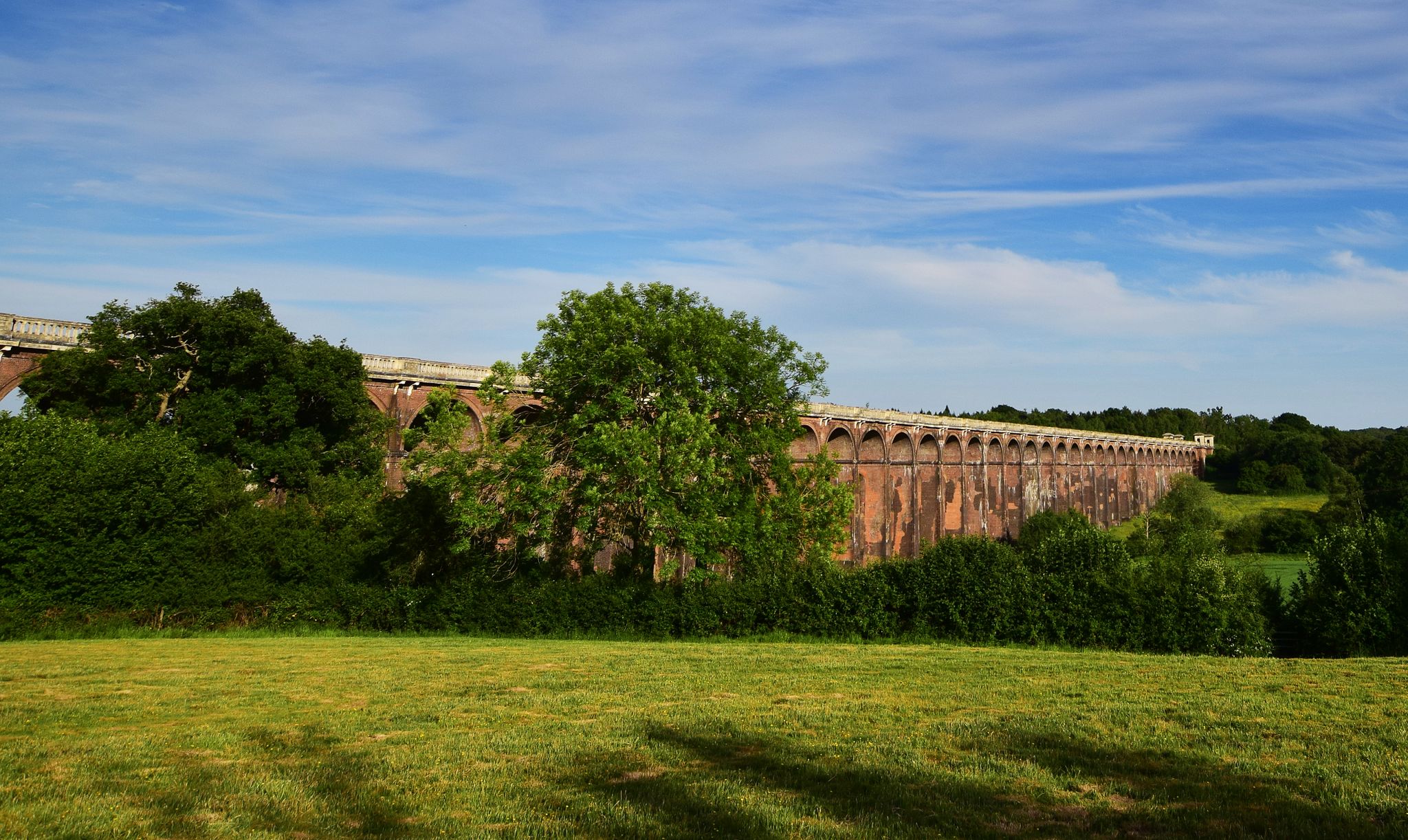
Sussex Ouse Valley Way — From the High Weald to the South Downs
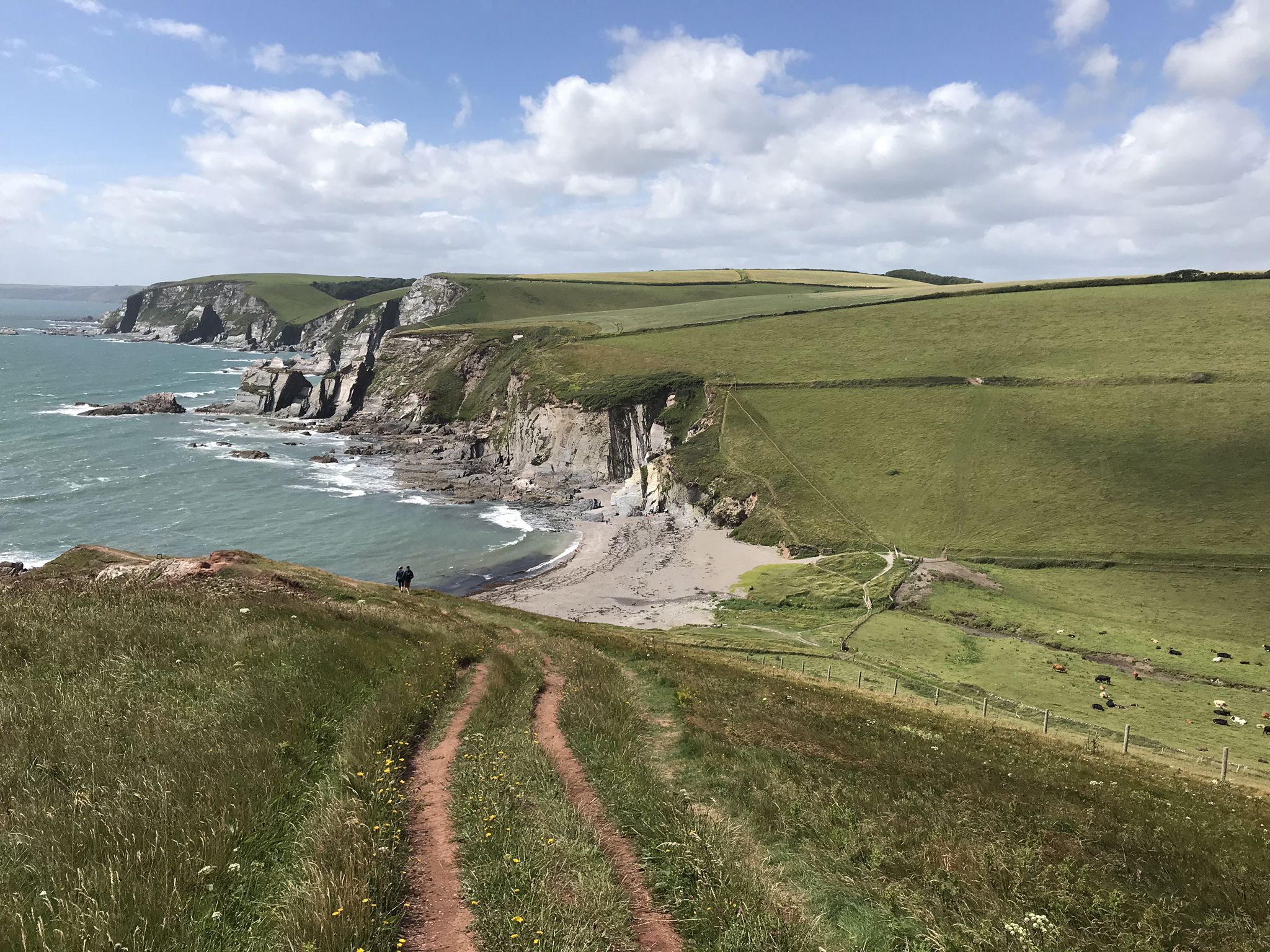
E9 Plymouth to Dover — An epic exploration of England's south coast
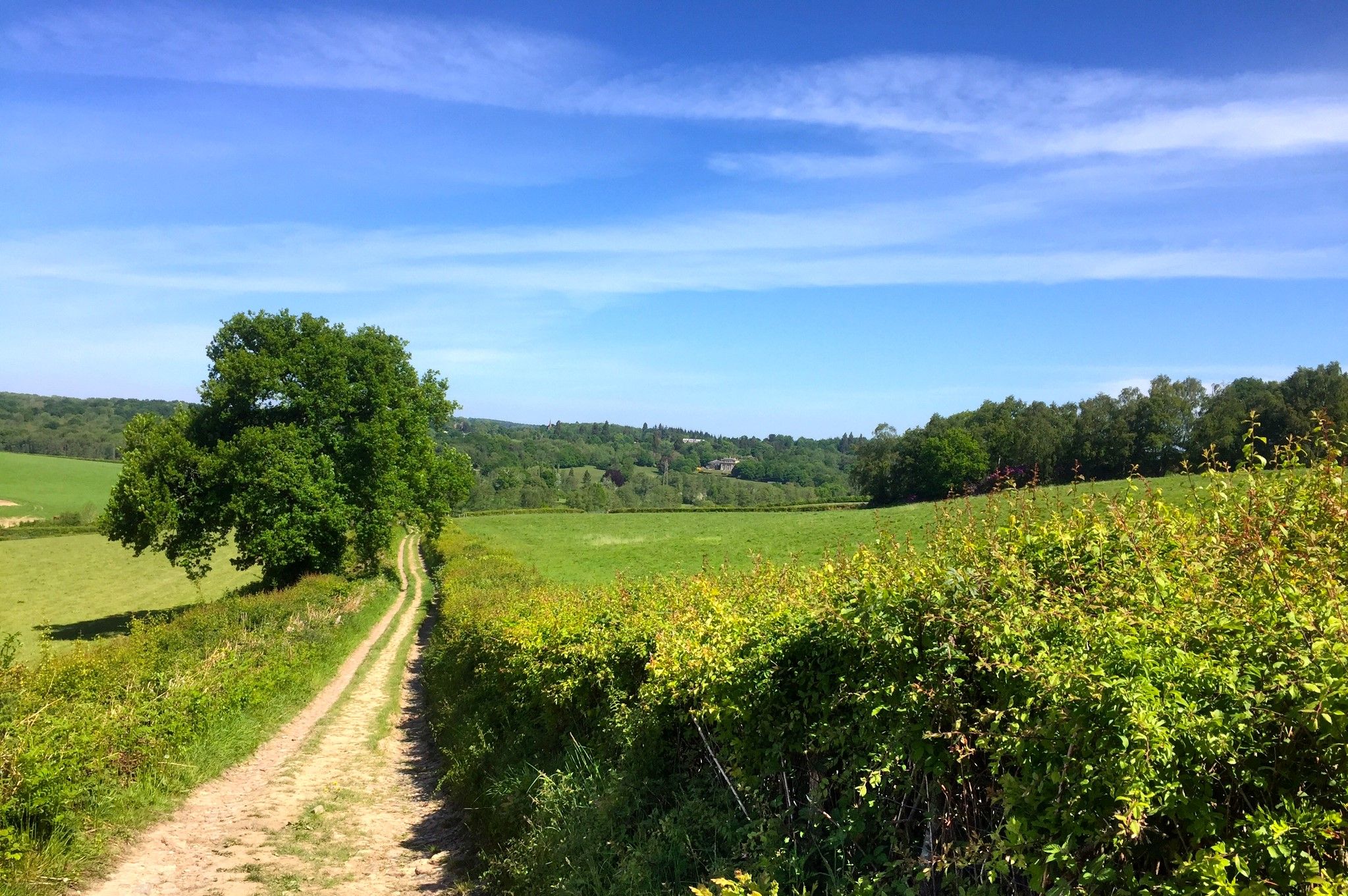
Vanguard Way – Hike some of the finest countryside in the South East
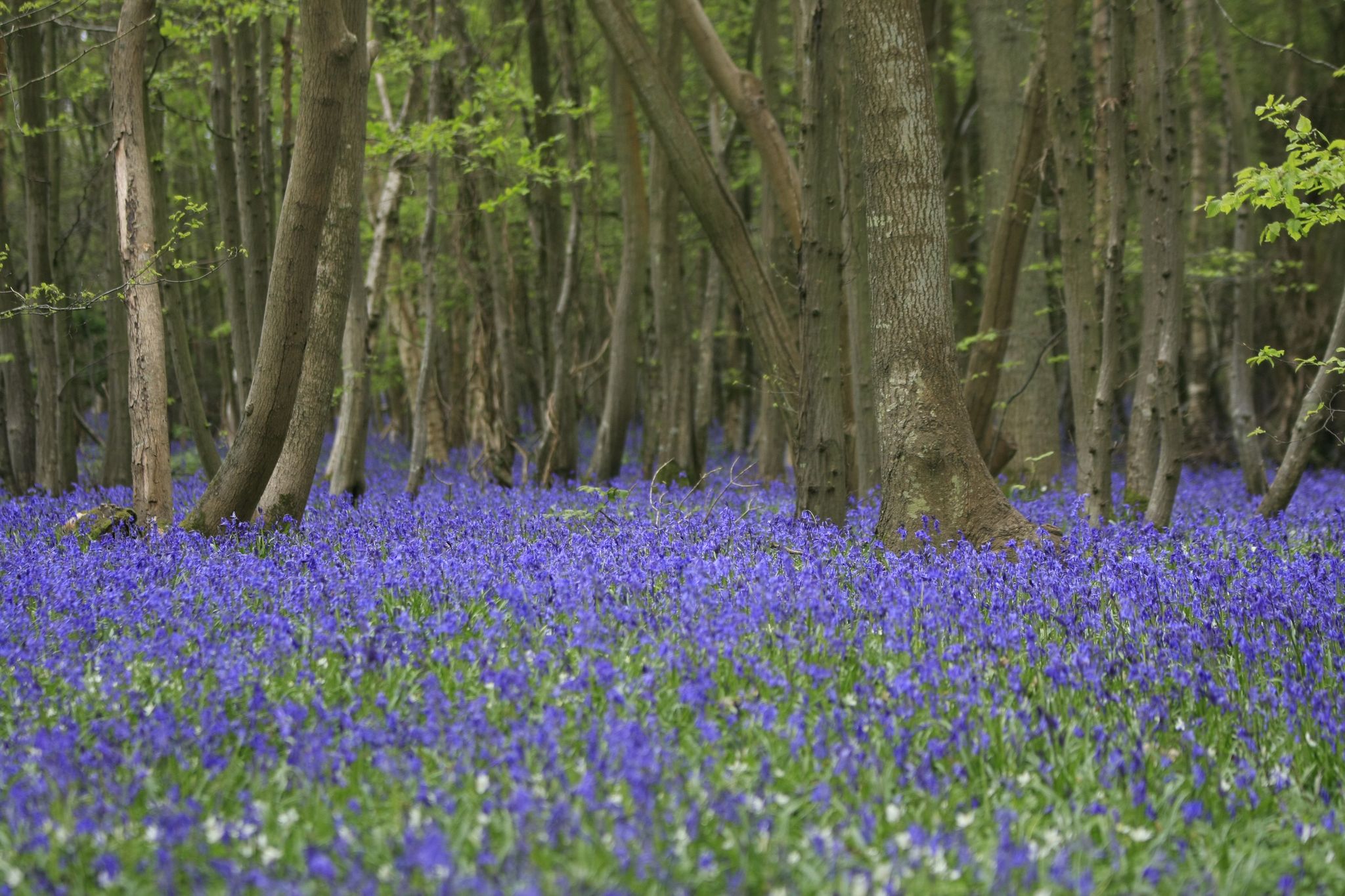
Wealdway — Hike up hill and down dale in rural South East England
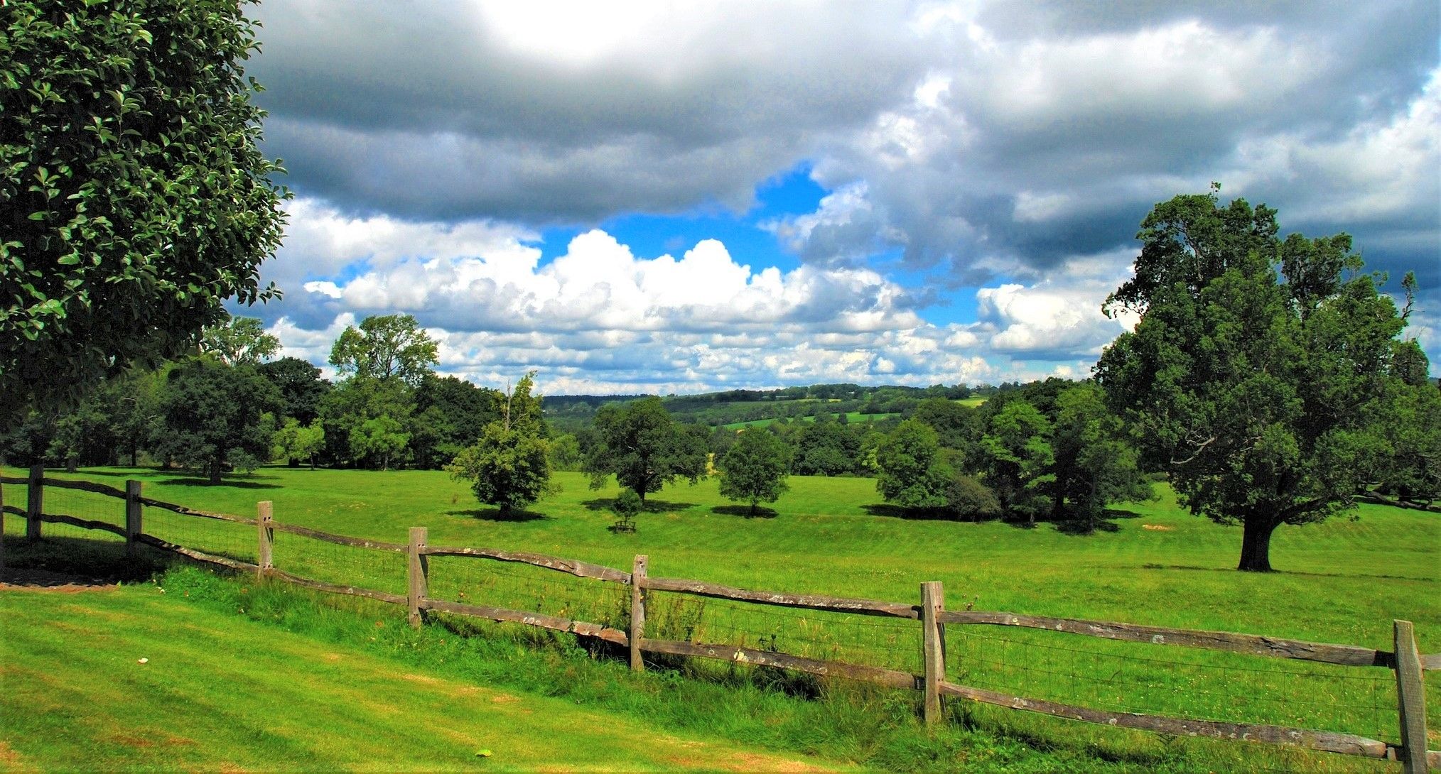
High Weald Landscape Trail — Hike the medieval heart of the South East
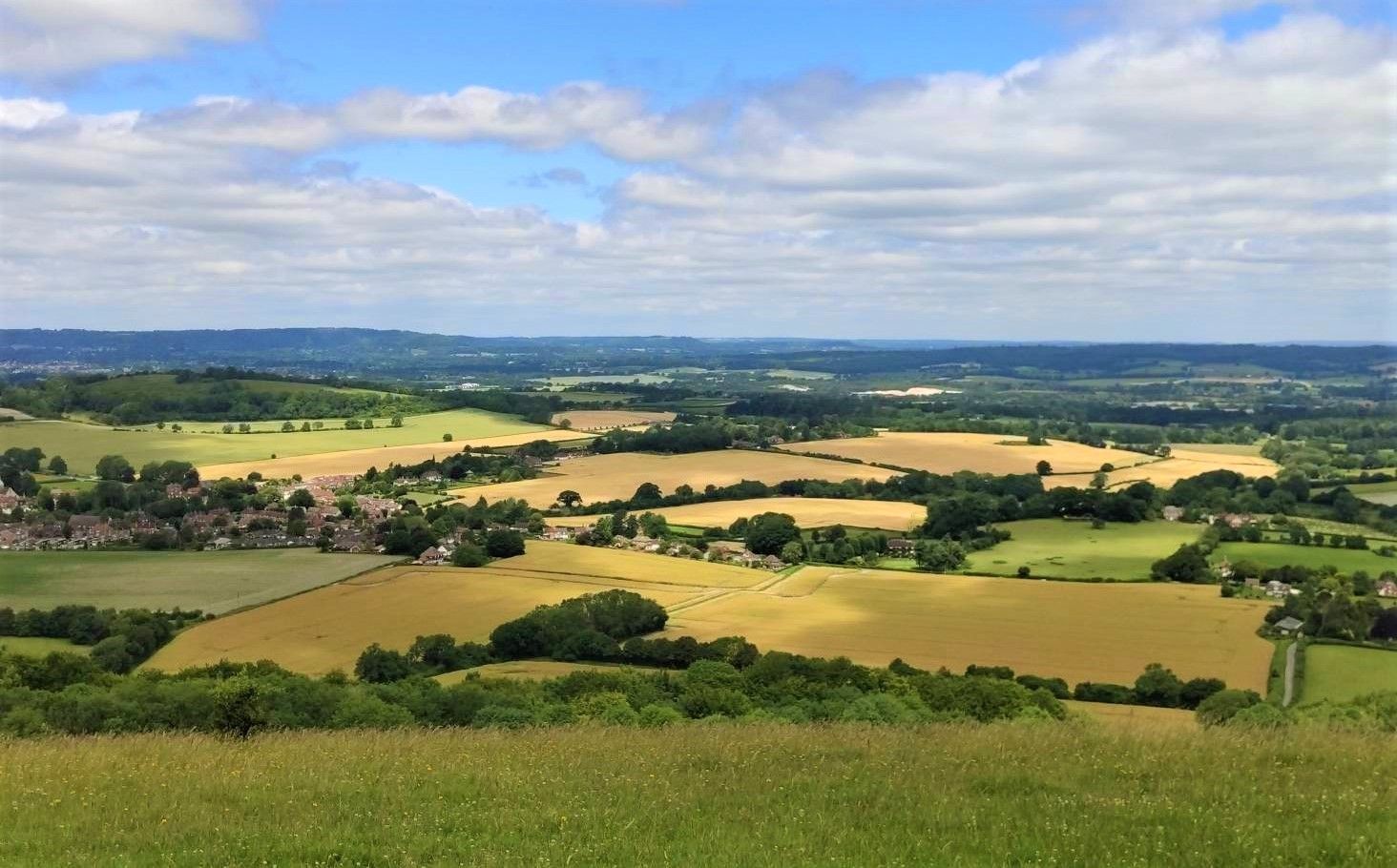
Sussex Border Path — A historic hike through medieval landscapes
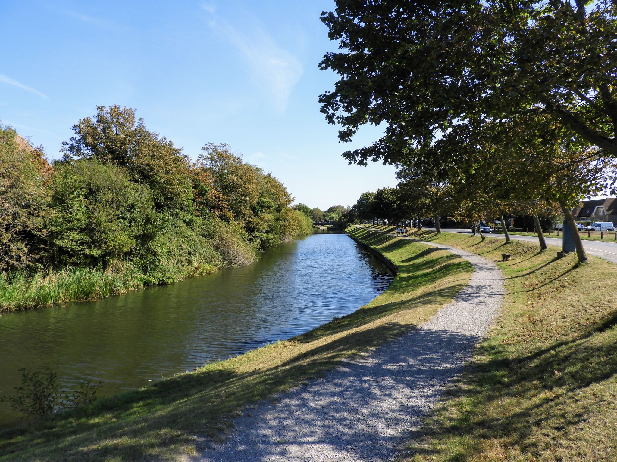
A historic hike alongside Romney Marsh — Royal Military Canal Path
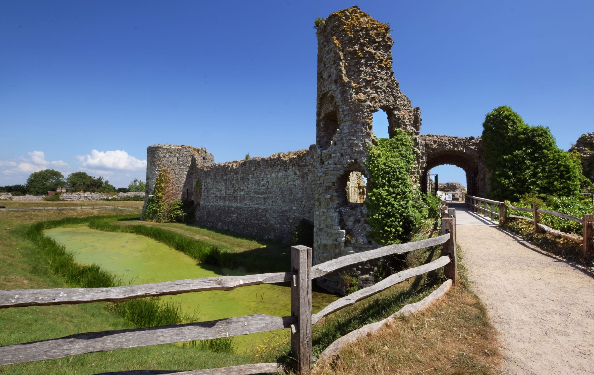
Castles, battlefields and staggering history — 1066 Country Walk
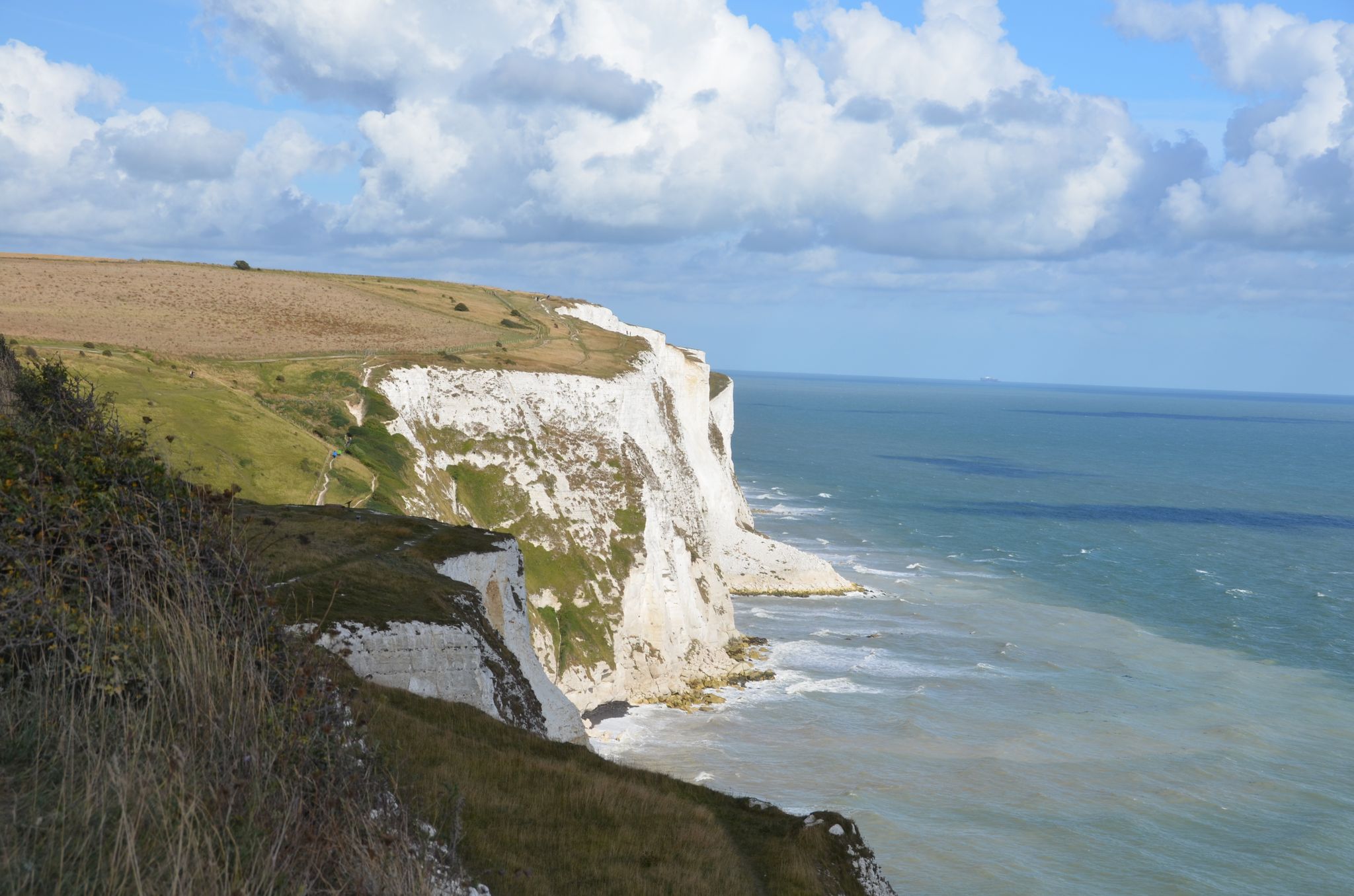
Beautiful walks in Kent - the garden of England
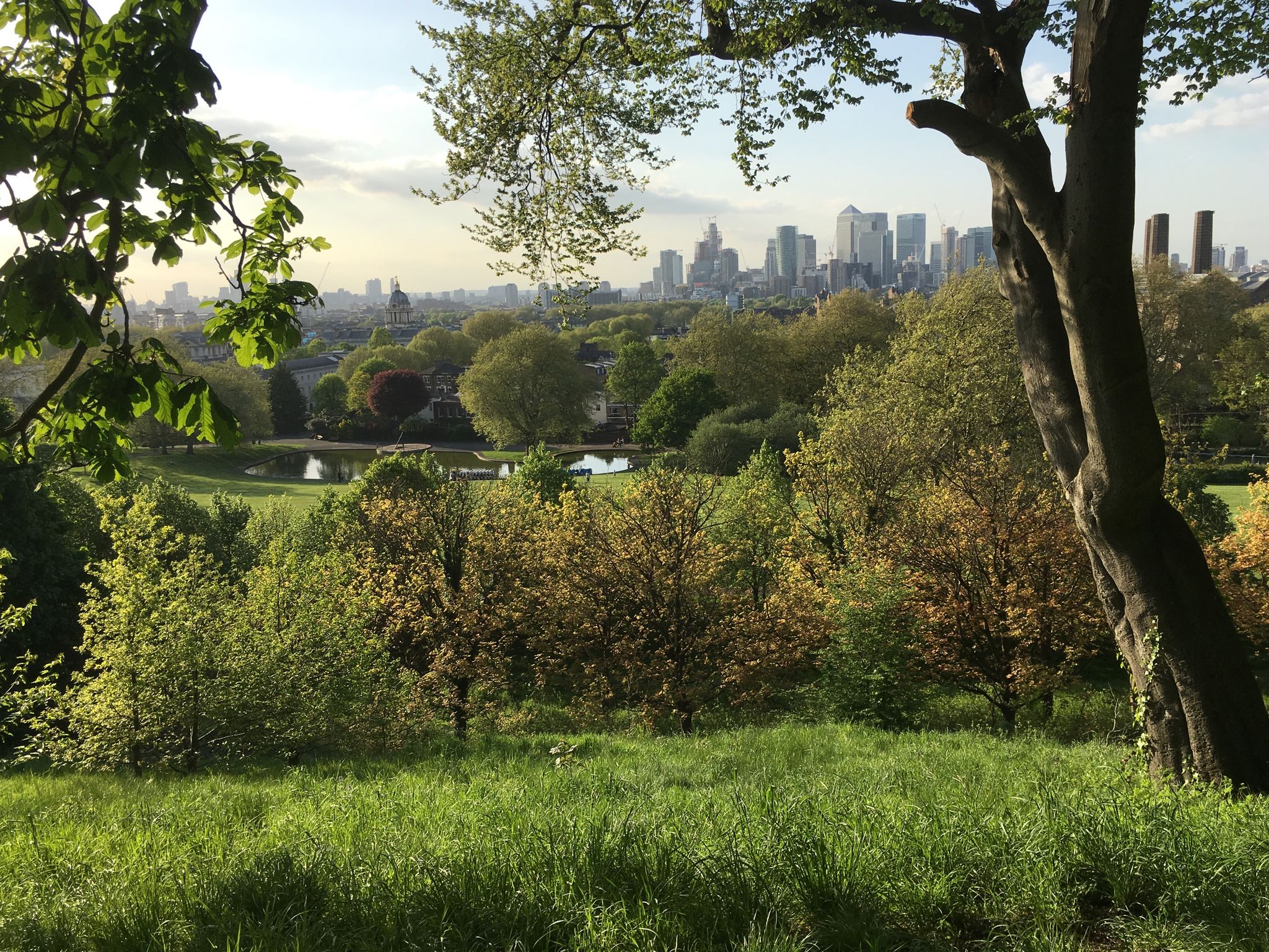
Downs and Weald Way – From London to the sea, a great adventure
Other adventures in High Weald Aonb


Tips from the Community

E eee ease wasted se e se esss SSsss ease sa sa s SA SS sa s sa a
0
0

The correct name is Hill Hoath Holloway. Named after the nearby hamlet
0
0
Very picturesque village with excellent "Tulip" café right opposite the church
0
0

Beautiful church worth seeing, which you should definitely visit when it is open
2
0

Given its proximity to Hever Castle – the birthplace of Anne Boleyn – you can imagine Henry VIII riding through this holloway as you walk through it. An eery, magical and beautiful sight
0
0

There is a local car park at the Activity Centre leading straight onto the walk around the reservoir. Currently the foot path is very wet and muddy in places but would be a nice walk spring/summer/ autumn. There are a few benches around the reservoir for stopping and taking in the view.
0
0
The perimeter path around the reservoir is very muddy in places currently due to the amount of rain. Welly boots needed in some places.
0
0
Frequently Asked Questions
How many hiking trails are available in High Weald AONB?
High Weald AONB offers a vast network of hiking opportunities, with over 1,500 trails recorded on komoot. This includes a diverse range of routes suitable for various skill levels, from easy strolls to more challenging treks.
What is the best time of year to hike in High Weald AONB?
The High Weald AONB is beautiful year-round, but spring and autumn are particularly popular. Spring brings blooming wildflowers and fresh greenery, while autumn showcases stunning foliage. Be prepared for varied conditions, as the clay and sandstone geology can lead to muddy paths, especially after rain.
What kind of terrain can I expect when hiking in High Weald AONB?
The High Weald AONB features a distinctive medieval landscape with varied terrain. You'll encounter rolling hills, steep valleys, and sandstone outcrops. The area is densely wooded, with extensive ancient woodlands, and also features open heathlands, particularly in areas like Ashdown Forest. Paths can range from well-maintained to more rugged, and may be muddy in wet weather due to the underlying clay.
Are there any historical sites or castles I can visit while hiking in High Weald AONB?
Yes, the High Weald is rich in history. You can incorporate visits to impressive castles like Bodiam Castle or explore the historic grounds of Battle Abbey and Battlefield. Many trails pass through or near medieval villages and isolated farmsteads, offering glimpses into the region's past. For example, the Bodiam Castle loop from Sandhurst Cross is a great option.
Can I find any notable natural features or bodies of water along the trails?
Absolutely. The High Weald is known for its natural beauty. You can hike around the largest inland body of water in Southeast England, Bewl Water, or explore the expansive heathlands of Ashdown Forest. Other notable water features include Ardingly Reservoir. The landscape is also characterized by numerous 'gill streams' and ancient woodlands.
What do other hikers appreciate most about the trails in High Weald AONB?
Hikers consistently rate the trails in High Weald AONB highly, with an average score of 4.5 stars from over 3,600 reviews. Many praise the region's distinctive medieval landscape, the tranquility of its ancient woodlands, and the varied terrain that keeps walks interesting. The sense of peace and the well-preserved character of the area are frequently highlighted.
Are there family-friendly hiking options in High Weald AONB?
Yes, High Weald AONB offers numerous family-friendly routes. With nearly 800 easy trails, you can find walks suitable for all ages and abilities. Many paths are relatively flat and pass through woodlands or open fields, providing safe and enjoyable experiences for families. Look for routes that explore areas like Ashdown Forest, which inspired the Winnie-the-Pooh stories.
Can I bring my dog on the hiking trails in High Weald AONB?
Most trails in High Weald AONB are dog-friendly, making it a great destination for walks with your canine companion. However, it's always important to keep dogs under control, especially when passing through areas with livestock or near sensitive wildlife habitats. Always check local signage for any specific restrictions and be mindful of other trail users.
Are there many circular walks available in High Weald AONB?
Yes, the High Weald AONB boasts an extensive network of footpaths, bridleways, and byways, making it ideal for circular walks. Many popular routes, such as the Ouse Valley Viaduct and Ardingly Reservoir Circular Walk, allow you to start and finish in the same location, offering convenient exploration of the diverse landscape.
Are there opportunities for wildlife spotting during hikes?
The High Weald AONB is a haven for wildlife. Its diverse habitats, including ancient woodlands, heathlands, and gill streams, support a wide array of species. Keep an eye out for rare birds like the Dartford warbler in the heathlands, and various butterflies, including the silver-studded blue. The extensive woodlands are home to many woodland birds and mammals.
What are some longer, more challenging hiking routes in the area?
For those seeking a challenge, the High Weald offers several longer and more difficult routes. The Bewl Water loop is a demanding 13.6-mile (21.9 km) path that circumnavigates the largest inland body of water in Southeast England. Another option is the Ashdown Forest and Five Hundred Acre Wood loop, which covers 10.2 miles (16.4 km) through ancient heathland forests.
Can I access trails in High Weald AONB using public transport?
While many trails are best accessed by car, some areas within the High Weald AONB are reachable by public transport. Key towns and villages within or on the edge of the AONB may have bus or train connections. It's advisable to research specific route starting points and check local transport schedules in advance to plan your journey.
Most popular routes in High Weald Aonb
Most popular attractions in High Weald Aonb

Get inspired with the komoot mobile app


Explore more
Browse the best Hikes in other regions.
