The best cycling routes in Parque Provincial Y Reserva Forestal Acónquija
4.9
(8)
147
riders
6
rides
Touring cycling routes in Parque Provincial Y Reserva Forestal Acónquija traverse a region characterized by varied terrain, including forested areas and significant elevation changes. The landscape features a mix of natural reserves and areas with notable ascents and descents, suitable for different cycling abilities. This provincial park and forest reserve offers routes that explore both natural settings and points of interest. The area's topography provides a diverse cycling experience, from gentler paths to more challenging climbs.
Best touring cycling routes…
Last updated: July 15, 2026
5.0
(1)
37
riders
31.4km
02:32
430m
430m
Moderate bike ride. Good fitness required. Mostly paved surfaces. Suitable for all skill levels.
2
riders
17.0km
01:04
110m
110m
Easy bike ride. Great for any fitness level. Mostly paved surfaces. Suitable for all skill levels.

Sign up for free
5.0
(1)
22
riders
11.1km
00:42
90m
90m
Easy bike ride. Great for any fitness level. Mostly paved surfaces. Suitable for all skill levels.
5.0
(3)
50
riders
56.4km
04:27
1,180m
1,180m
Hard bike ride. Very good fitness required. Mostly paved surfaces. Suitable for all skill levels.
4.7
(3)
31
riders
69.8km
05:04
1,380m
1,380m
Hard bike ride. Very good fitness required. Mostly paved surfaces. Suitable for all skill levels.
Our route recommendations are based on thousands of hikes, rides, and runs completed by other people on komoot.
Start today with a free account
Your next adventure awaits.
Login or Signup
Popular around Parque Provincial Y Reserva Forestal Acónquija

Frequently Asked Questions
What kind of terrain can I expect on touring cycling routes in Parque Provincial Y Reserva Forestal Acónquija?
The region features varied terrain, including forested areas and significant elevation changes. You'll find a mix of natural reserves and areas with notable ascents and descents, offering diverse cycling experiences from gentler paths to more challenging climbs.
Are there touring cycling routes suitable for beginners or families in Parque Provincial Y Reserva Forestal Acónquija?
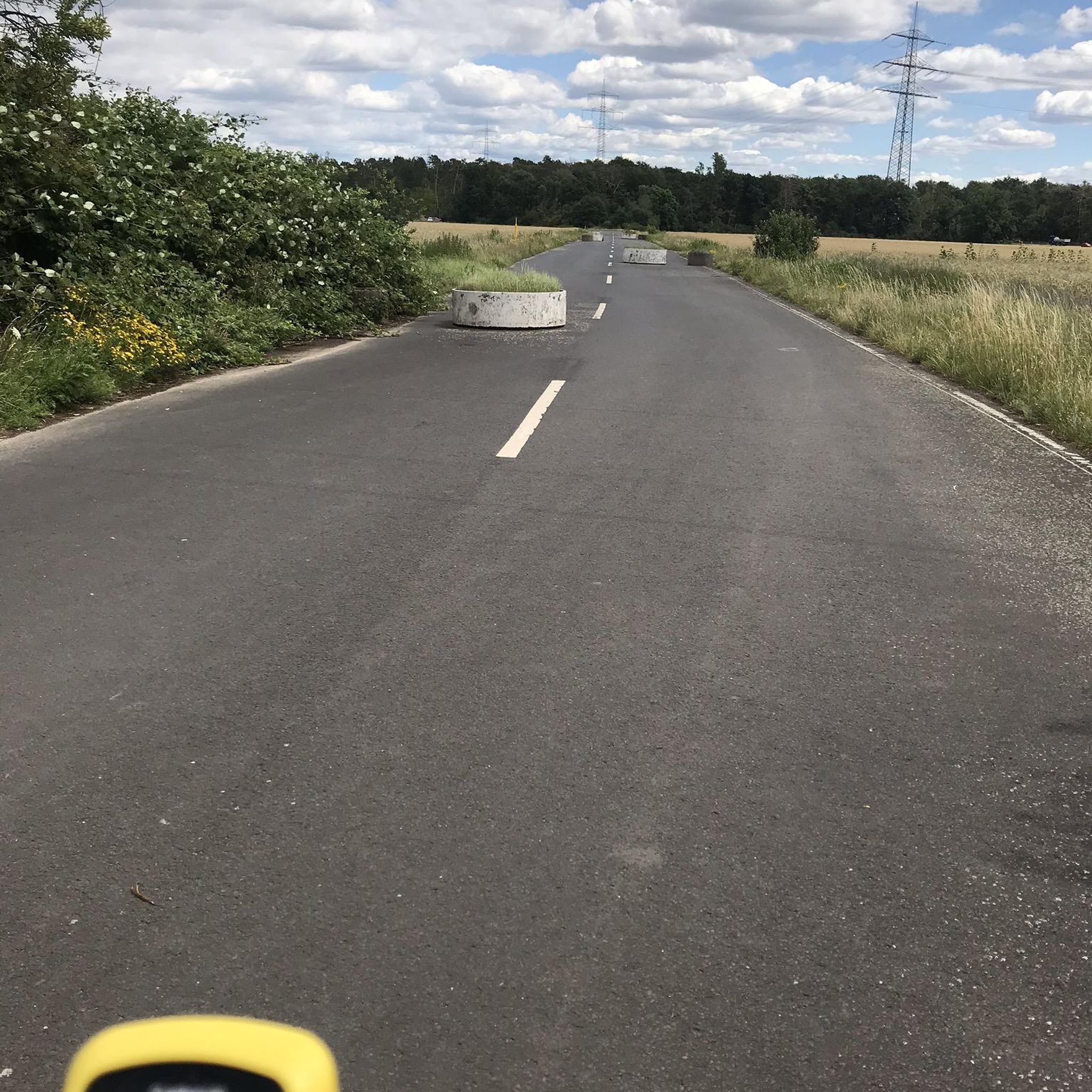
Yes, the park offers routes suitable for various abilities. For beginners or families looking for an easier ride, consider routes like Perón Roundabouts – Roundabout loop from Congreso, which is 5.5 miles (8.9 km) with minimal elevation gain, or Perón Roundabouts – Roundabout loop from El Manantial, a 10.6 miles (17.0 km) trail.
What are the more challenging touring cycling routes available?
For experienced touring cyclists seeking a challenge, routes with significant elevation changes are available. The Perón Roundabouts – Roundabout loop from Tucumán CC (Belgrano) is a difficult 43.4 miles (69.8 km) route with over 1,300 meters of ascent. Another demanding option is the Perón Roundabouts – San Javier Sign loop from Tucumán (Mitre), covering 35.0 miles (56.4 km) with similar elevation.
How long do the touring cycling routes typically take to complete?
Route durations vary significantly based on distance and difficulty. Shorter, easier routes like Perón Roundabouts – Roundabout loop from Congreso can be completed in about 30 minutes. Moderate routes, such as Perón Roundabouts – Roundabout loop from Plaza Apunt (19.5 miles / 31.4 km), typically take around 2 hours 30 minutes. The most challenging routes can take over 5 hours.
Are there any circular touring cycling routes in the park?
Yes, many of the touring cycling routes in Parque Provincial Y Reserva Forestal Acónquija are designed as loops, allowing you to start and end at the same point. Examples include the Perón Roundabouts – Roundabout loop from Tucumán CC (Belgrano) and the Perón Roundabouts – Roundabout loop from Plaza Apunt.
What is the best season for touring cycling in Parque Provincial Y Reserva Forestal Acónquija?
While specific seasonal data isn't provided, generally, regions with varied terrain and significant elevation changes are best enjoyed during spring and autumn when temperatures are milder and rainfall is moderate. Summer can be hot, and winter might bring cooler temperatures to higher elevations.
What do other touring cyclists say about their experience in Parque Provincial Y Reserva Forestal Acónquija?
The touring cycling routes in Parque Provincial Y Reserva Forestal Acónquija are highly rated by the komoot community, with an average score of 4.9 stars from over 10 reviews. Cyclists often praise the varied terrain and the mix of natural and semi-urban landscapes that define the area.
Are there any specific permits required for cycling in Parque Provincial Y Reserva Forestal Acónquija?
The provided information does not indicate any specific permits required for general touring cycling within the park. However, it's always advisable to check local regulations or park authority websites before your visit, especially for any protected or restricted areas.
Where can I find parking for the bike trails?
Many routes originate from urban or semi-urban starting points, such as Tucumán CC (Belgrano), Plaza Apunt, El Manantial, and Congreso. These locations typically offer parking options, though availability may vary. It's recommended to check the specific starting point of your chosen route for detailed parking information.
Are there any viewpoints or scenic spots along the touring cycling routes?
Given the region's varied terrain and forested areas, many routes offer scenic views, especially those with significant elevation changes. While specific viewpoints are not detailed, the diverse landscapes and natural reserves provide ample opportunities for picturesque stops.
What should I wear or bring for touring cycling in this region?
Considering the varied terrain and potential elevation changes, it's advisable to wear appropriate cycling gear, including a helmet, comfortable clothing suitable for the weather, and sturdy cycling shoes. Bring plenty of water, snacks, a repair kit, and navigation tools. Layering is recommended due to potential temperature fluctuations, especially when gaining elevation.
Most popular routes in Parque Provincial Y Reserva Forestal Acónquija

Get inspired with the komoot mobile app


