The best cycling routes in Reserva Natural De La Defensa La Calera
4.6
(13)
94
riders
8
rides
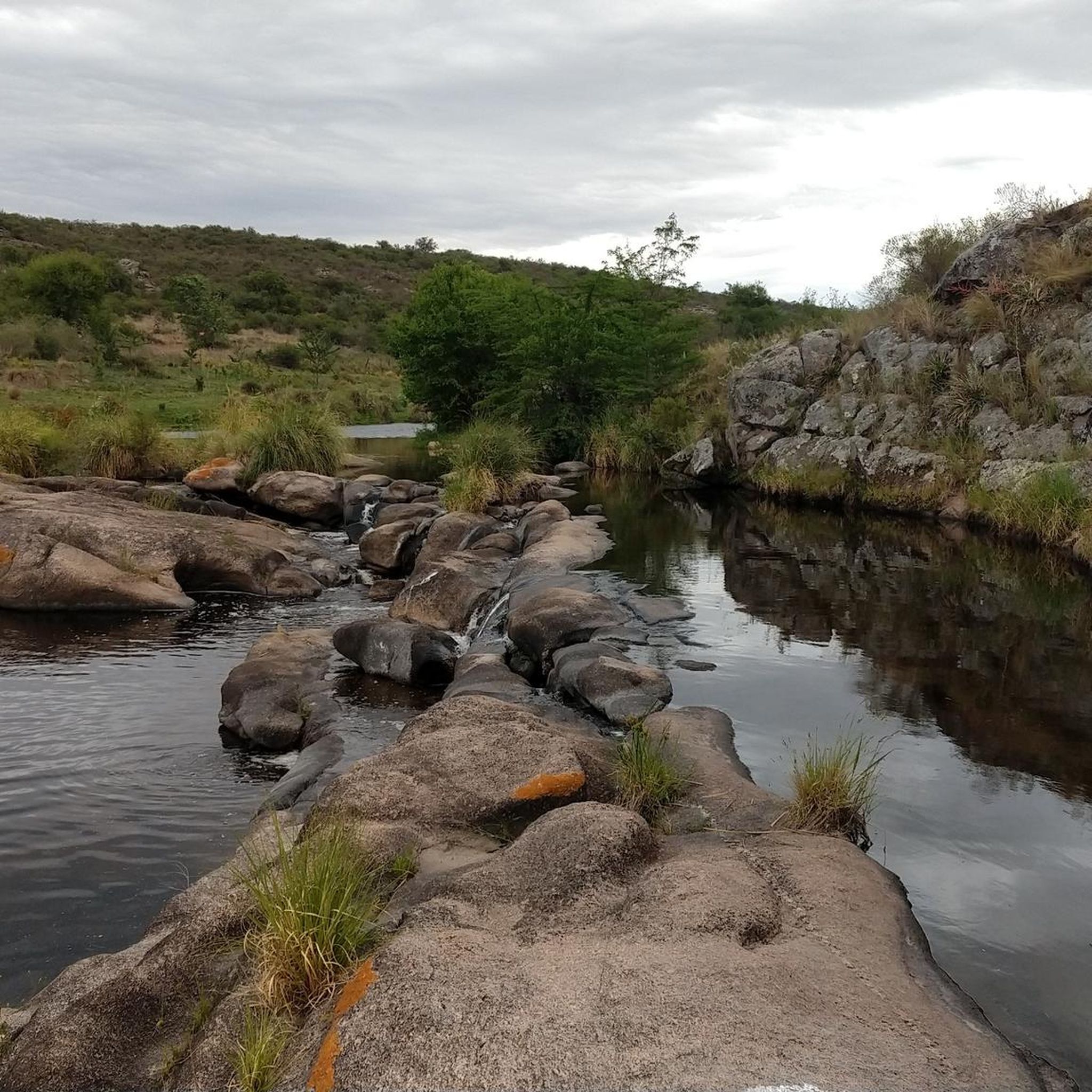
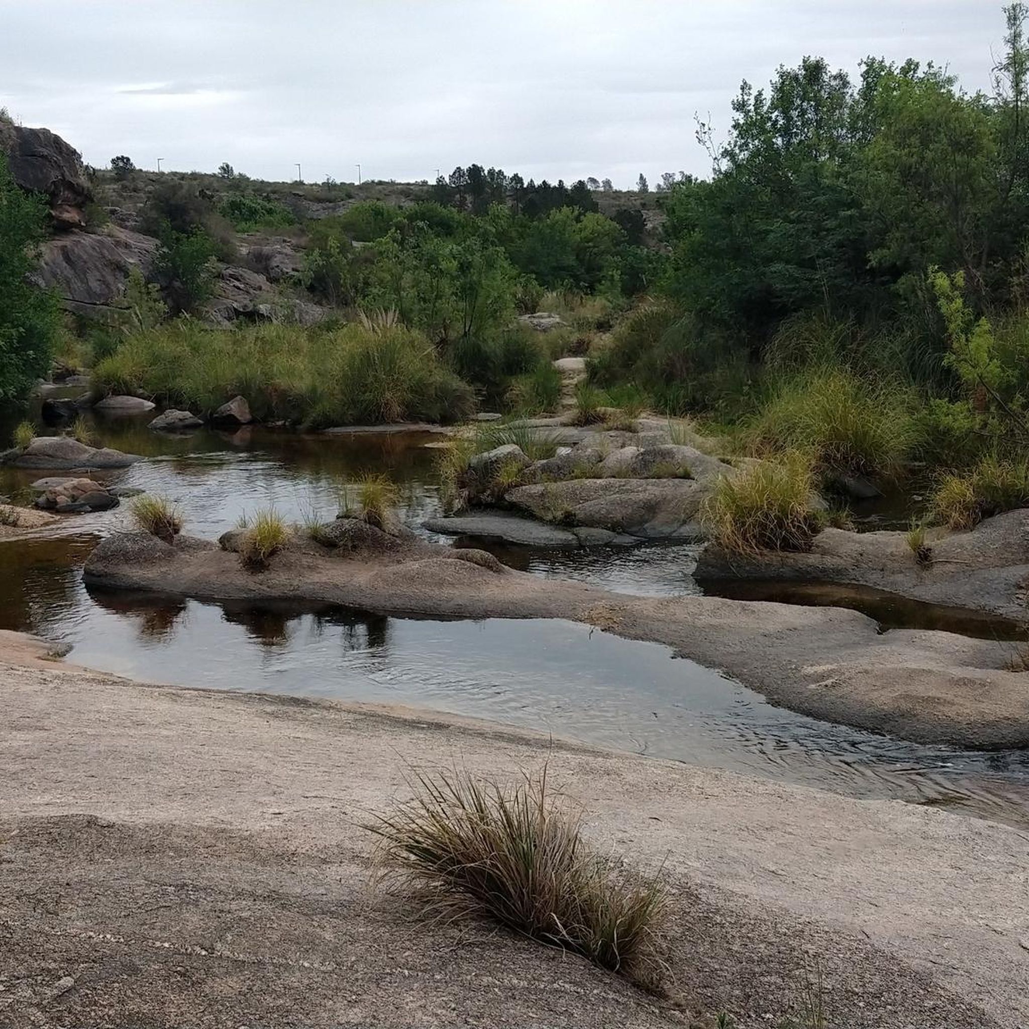
Touring cycling routes in Reserva Natural De La Defensa La Calera traverse a landscape characterized by high grasslands and regenerating native forest, situated in a transition zone between the Chaco Seco and Espinal ecoregions. The area features rustic internal roads, some of which are unpaved, offering varied terrain for cyclists. Panoramic views of the Punilla Valley and the city of Córdoba are accessible from various points within the reserve.
Best touring cycling routes in Reserva Natural De La Defensa La…
Last updated: July 10, 2026
4.5
(2)
21
riders
35.7km
02:26
410m
410m
Moderate bike ride. Good fitness required. Mostly paved surfaces. Suitable for all skill levels.
5.0
(1)
10
riders
108km
08:21
1,560m
1,560m
Hard bike ride. Very good fitness required. Mostly paved surfaces. Suitable for all skill levels.

Sign up for free
9
riders
72.3km
05:27
840m
840m
Hard bike ride. Very good fitness required. Mostly paved surfaces. Suitable for all skill levels.
3
riders
9.10km
00:45
50m
50m
Easy bike ride. Great for any fitness level. Mostly paved surfaces. Suitable for all skill levels.
8
riders
42.5km
03:50
640m
640m
Hard bike ride. Very good fitness required. Mostly paved surfaces. Suitable for all skill levels.
Get access to more routes and recommendations from other explorers.
Sign up for free
Already have an account?
Our route recommendations are based on thousands of hikes, rides, and runs completed by other people on komoot.
Start today with a free account
Your next adventure awaits.
Login or Signup

Tips from the Community


base where the aerosol comes from, place where many cyclists stop, there is a bar to have a drink or recharge liquids
1
0
Frequently Asked Questions
What kind of terrain can I expect for touring cycling in Reserva Natural De La Defensa La Calera?
The reserve features a mix of high grasslands and regenerating native forest. While some internal roads are rustic and unpaved, offering challenging conditions more suited for mountain bikes, the main dirt roads can be cycled with a robust touring bike. Expect varied terrain, including sections described as 'serrucho' (sawtooth) due to their uneven surface.
Are there any easy touring cycling routes suitable for beginners?
Yes, there is at least one easy route. For a more relaxed experience, consider the Riverside Nature Reserve loop from Estancia La Carolina. This 5.7-mile (9.1 km) trail leads through riverside areas and can typically be completed in about 45 minutes, with minimal elevation gain.
What are some of the more challenging touring cycling routes in the area?
For experienced touring cyclists seeking a challenge, the reserve offers several difficult routes. The Bar Ana – Pan de Azúcar Base – La Casa Amarilla loop from Tristán Narvaja is a demanding 67.2-mile (108.1 km) path with significant elevation gain. Another difficult option is the Arco de Saldán and Arroyo loop from Tristán Narvaja, spanning 44.9 miles (72.3 km) with considerable climbs.
What historical or natural landmarks can I see along the touring cycling routes?
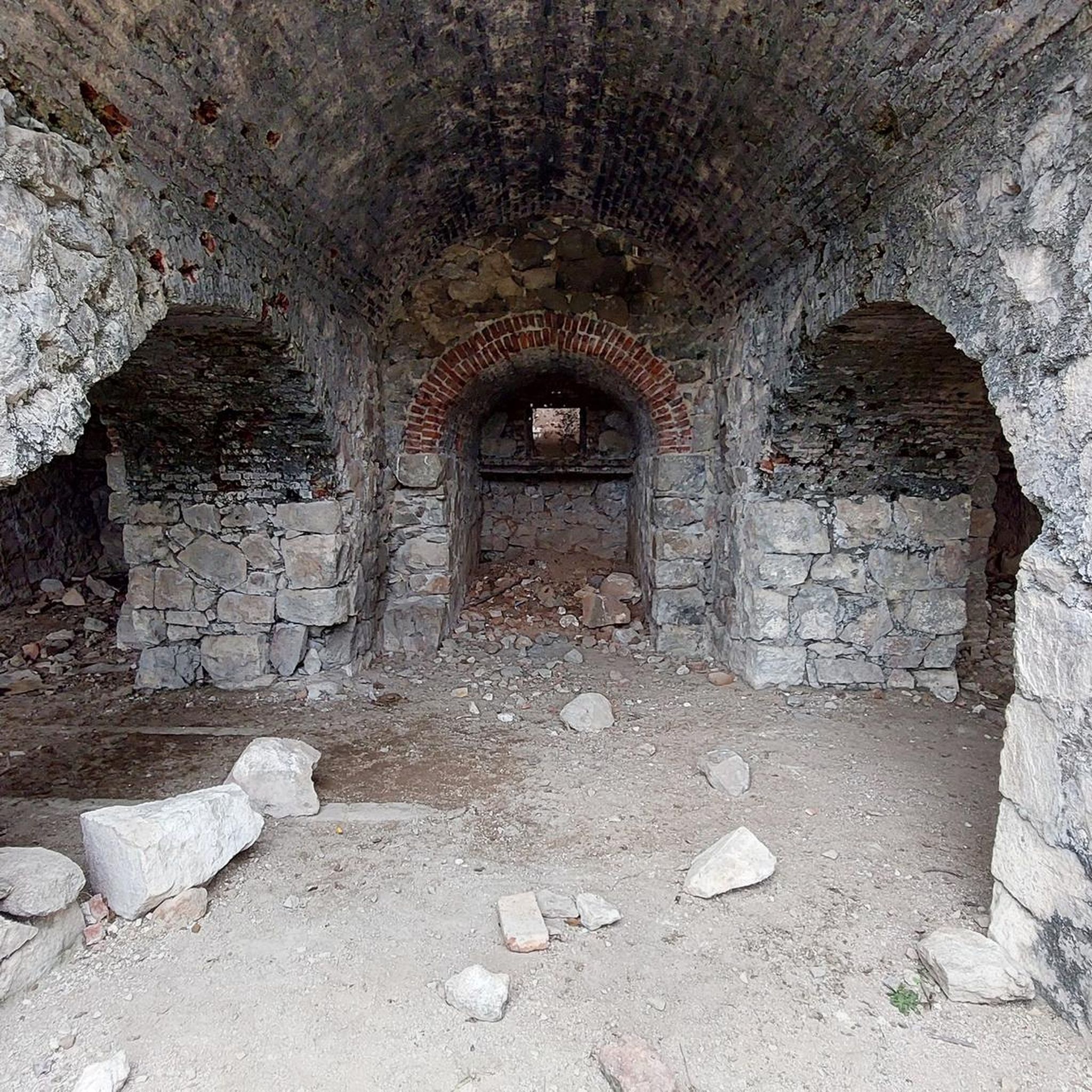
Beyond the natural beauty, the reserve holds significant historical and cultural value. You can find ancient lime kilns (caleras) that were crucial for Córdoba city's construction, indigenous vestiges, and some of the country's first hydroelectric power plants. The area also offers unique panoramic views of the Punilla Valley and the city of Córdoba from various points.
Are there any circular touring cycling routes available?
Yes, many of the routes in Reserva Natural De La Defensa La Calera are designed as loops. Examples include the popular Lake View loop from Villa Carlos Paz, the challenging Bar Ana – Pan de Azúcar Base – La Casa Amarilla loop from Tristán Narvaja, and the easier Riverside Nature Reserve loop from Estancia La Carolina.
Is Reserva Natural De La Defensa La Calera suitable for family touring cycling?
While the core of the reserve features challenging, rustic roads, there are options for families. The Riverside Nature Reserve loop from Estancia La Carolina is an easy, shorter route that could be suitable for families looking for a gentle ride through natural surroundings.
What do other touring cyclists enjoy most about cycling in Reserva Natural De La Defensa La Calera?
The area is highly rated by the komoot community, with an average score of 4.5 stars from over 10 reviews. Reviewers often praise the diverse landscape, including native forests and grasslands, and the panoramic viewpoints offering stunning vistas of the Punilla Valley and Córdoba city.
How many touring cycling routes are available in Reserva Natural De La Defensa La Calera?
There are approximately 9 touring cycling routes documented in Reserva Natural De La Defensa La Calera, offering a range of difficulties from easy riverside paths to challenging routes with significant elevation.
What is the best season for touring cycling in Reserva Natural De La Defensa La Calera?
The reserve's climate is generally favorable for outdoor activities. However, given the challenging terrain and unpaved roads, it's advisable to check weather conditions, especially for rain, which can make the 'serrucho' surfaces even more difficult. Spring and autumn generally offer milder temperatures, which are ideal for longer rides.
Are there any cafes or places to eat near the touring cycling routes?
The region is strategically located near urban centers like Córdoba. While the reserve itself is a natural defense area, you'll find cafes, pubs, and accommodation options in the nearby towns and cities, making it convenient for day trips. It's recommended to plan your route to pass through or near these areas for refreshment stops.
What should I know about parking and access for cyclists in the reserve?
The reserve's proximity to urban centers makes it accessible. While military control restricts access to some secondary routes, the main dirt road traversing the reserve is used by cyclists. Parking facilities are typically available at entry points or nearby towns, but it's always wise to confirm specific access points and parking availability before your trip.
Is the <a href="https://www.komoot.com/smarttour/31369596" target="_blank" rel="noopener">Complejo La Loma loop from Altos de San Pedro</a> a good option for touring cyclists?
The Complejo La Loma loop from Altos de San Pedro is a difficult 26.3-mile (42.3 km) route with over 640 meters of elevation gain. It's best suited for experienced touring cyclists looking for a demanding ride through the varied terrain of the reserve.
Most popular routes in Reserva Natural De La Defensa La Calera

Get inspired with the komoot mobile app


