The best walks and hikes in Reserva Nacional Villarrica
4.7
(238)
1,602
hikers
8
hikes
Hiking in Reserva Nacional Villarrica features dramatic volcanic landscapes, ancient forests, and numerous lakes. The region is defined by three prominent stratovolcanoes, including the active Villarrica, and dense woodlands of araucarias, lengas, and coihues. Hikers can explore diverse terrain, from high-altitude volcanic areas to serene lake shores and glacial features. The park offers a network of trails with varied elevations and natural attractions.
Best hiking trails in Reserva Nacional Villarrica
- The most popular hiking route is Mirador Nevados de Sullipulli…
Last updated: July 10, 2026
5.0
(4)
35
hikers
Moderate hike. Good fitness required. Easily-accessible paths. Suitable for all skill levels.
5.0
(3)
19
hikers
Hard hike. Very good fitness required. Easily-accessible paths. Suitable for all skill levels.

Sign up for free
Moderate hike. Good fitness required. Easily-accessible paths. Suitable for all skill levels.
4.0
(26)
123
hikers
15.5km
04:23
320m
320m
Moderate hike. Good fitness required. Easily-accessible paths. Suitable for all skill levels.
4.7
(78)
542
hikers
12.6km
04:25
640m
640m
Moderate hike. Good fitness required. Easily-accessible paths. Suitable for all skill levels.
Get access to more routes and recommendations from other explorers.
Sign up for free
Already have an account?
Our route recommendations are based on thousands of hikes, rides, and runs completed by other people on komoot.
Start today with a free account
Your next adventure awaits.
Login or Signup
Popular around Reserva Nacional Villarrica
Tips from the Community

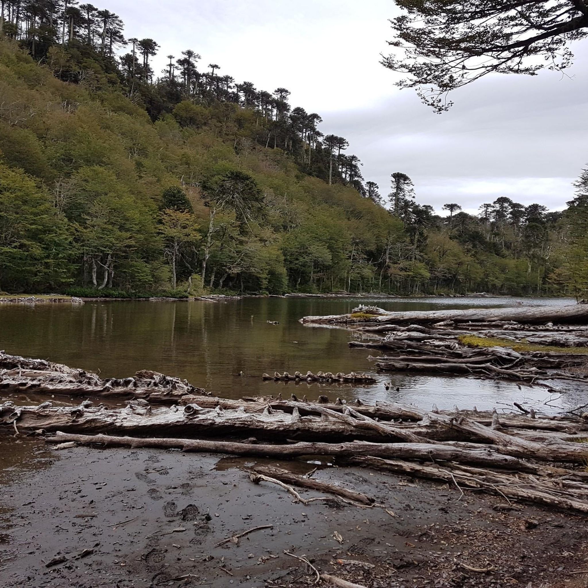
The lake is nestled amidst the vastness of the Andes Mountains. It's worth pausing for a moment to observe the reflection of the hills and feel the tranquility of the place.
0
0
Along the path, this crystal-clear lagoon appears among the vegetation, surrounded by shade where you can enjoy a rest along the way.
0
0
The park is famous for its forest and lagoon landscapes. It's ideal for hiking, enjoying nature, and seeing wildlife such as huemul deer and condors.
0
0

There is a fee to enter the park (2025: 10,000 CLP). There is a large car park 200m behind the entrance.
0
0

Sturdy shoes are required and the route as indicated cannot currently be walked. The circuit shown on the map is not available due to a barrier. You must constantly walk the main path and then take it back again. The path is easy to find and follow, however, and you can still follow the path on this Koomot route and simply leave one part open.
0
0

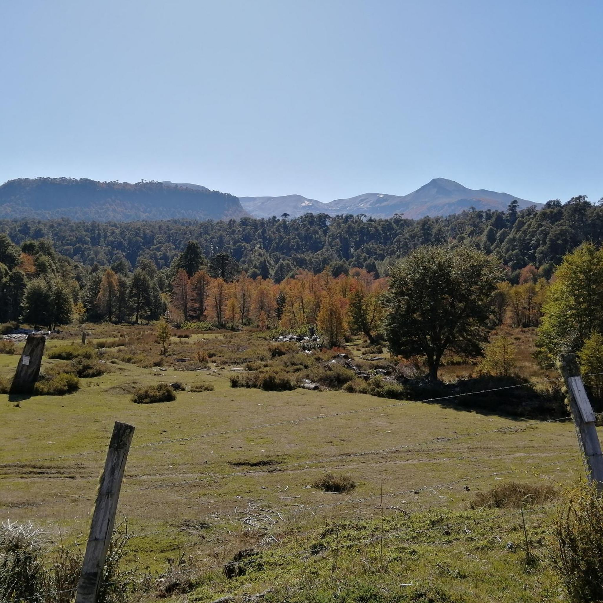
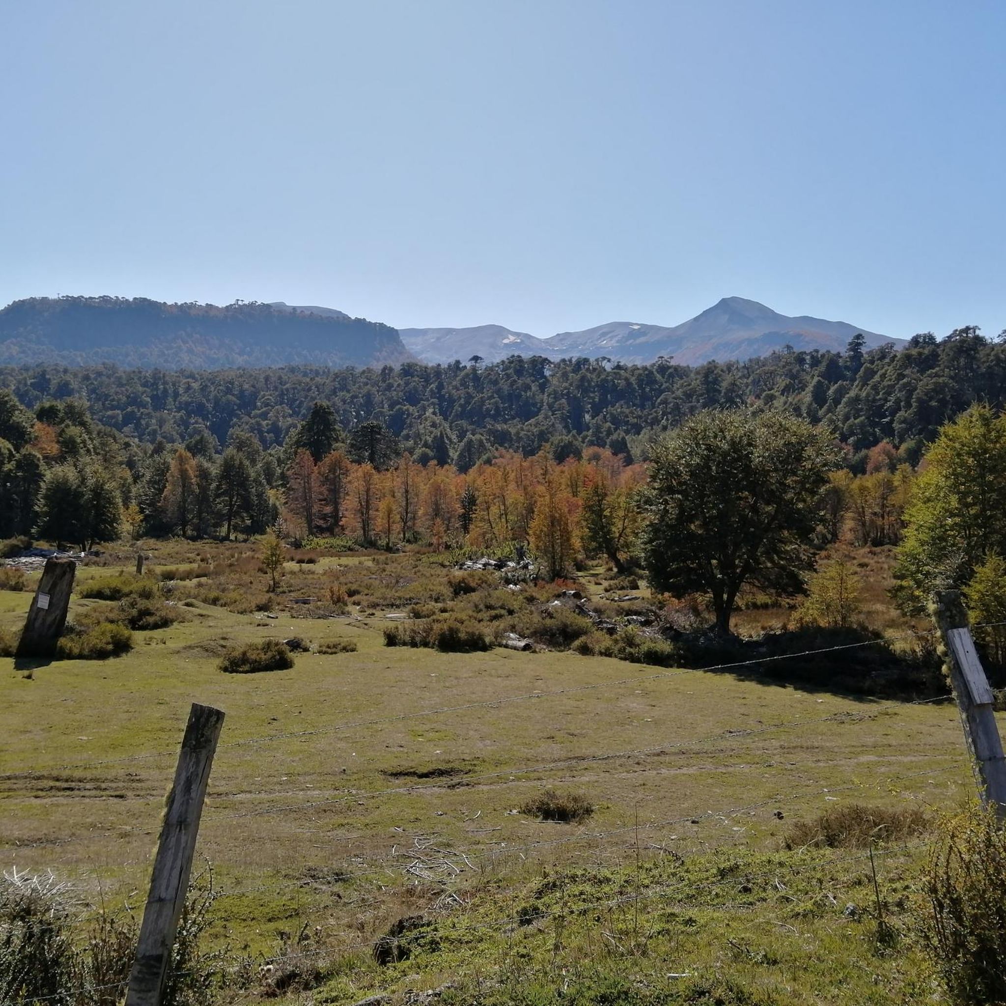
Lago Chico, nestled in the breathtaking Andean landscape, offers a tranquil retreat for hikers seeking peace and nature. The trail leads you through a wide, open landscape framed by snow-capped mountain peaks. The rolling hills and expansive meadows, often dotted with small bushes and scattered trees, are particularly striking. It's an ideal place to let your thoughts wander, feel the cool breeze from the lake, and absorb the profound silence. The lake's shore invites you to pause and enjoy the view of the serene waters, where the mountain scenery is reflected in the surface. The area around Lago Chico also offers several interesting trails for shorter hikes that take you deeper into the surroundings. It's a wonderful place to end the day and savor the peace of nature. ``` ``` ``` ] . ... . . . . . A tip: Pack a small snack, sit by the shore and observe nature – sometimes an eagle flies over the mountains or you see small animals near the lake. Especially in the early morning or late afternoon, there is a wonderful, almost mystical atmosphere here.
0
0
The waterfall in the Reserva de la Biósfera Araucarias is a real insider tip for hikers looking for a spectacular nature experience away from the crowds. With a drop of an impressive 90 meters, the water plunges down into a cauldron framed by moss and plants - a sight that is deeply etched in the memory. The path there should not be underestimated, however: narrow root paths, steep steps and occasionally slippery passages lead down to the foot of the waterfall. A railing offers support in some places, but sturdy shoes are really a must here. You should be particularly careful on rainy days, as the path can get very muddy. The early bird catches the worm here: If you set off early in the day, you not only have the best lighting conditions, but also the peace and quiet to enjoy the waterfall almost to yourself. A perfect place to take a break, enjoy the view and maybe even dip your feet in the cool water. Small tip: If you arrive from Pucón, there is also a parking lot right at the entrance, so you can start the hike relaxed
1
1

Frequently Asked Questions
What kind of landscapes can I expect to see while hiking in Reserva Nacional Villarrica?
Reserva Nacional Villarrica offers incredibly diverse landscapes. You'll encounter dramatic volcanic terrain dominated by three prominent stratovolcanoes: Villarrica, Quetrupillán, and Lanín. Expect to hike through ancient forests of araucarias, lengas, and coihues, discover serene lakes and lagoons like Lago Chico and Laguna Verde, and even explore glacial features such as the accessible Pichillancahue Glacier with its unique ice caves.
Are there any challenging hikes for experienced trekkers in Reserva Nacional Villarrica?
Yes, the reserve offers several challenging routes for experienced trekkers. The ascent of Villarrica Volcano itself is a demanding, full-day excursion requiring a guide and good physical condition. For a difficult multi-hour trek with significant elevation gain, consider the Laguna Escondida – Mirador Nevados de Sullipulli loop from Parque Natural Nevados de Sollipulli, which covers nearly 15 km with over 1000 meters of ascent.
What are some notable natural features or viewpoints to look out for?
Hikers can enjoy stunning panoramic views from various points. Trails like the Los Volcanes Viewpoint Trail and Cerro Espejo offer vistas of the surrounding volcanoes. The Mirador Nevados de Sullipulli loop is also popular for its scenic outlooks. Don't miss the Pichillancahue Glacier, where you can explore accessible ice caves and witness meltwater streams, or the picturesque Salto del Río Salto waterfall.
Are there any circular hiking routes available in the reserve?
Yes, many of the trails in Reserva Nacional Villarrica are designed as loops, allowing you to experience varied scenery without retracing your steps. Examples include the Mirador Nevados de Sullipulli – Mirador Chufquén loop and the Laguna Escondida – Mirador Cascada loop, both offering diverse terrain and viewpoints.
What is the best time of year to go hiking in Reserva Nacional Villarrica?
The best time for hiking in Reserva Nacional Villarrica is generally during the warmer, drier months, typically from late spring to early autumn (November to April). During this period, trails are more accessible, and weather conditions are more favorable for exploring the volcanic peaks and forests. Some higher-altitude routes, especially volcano ascents, may require specific gear and conditions even then.
Are there any trails that pass by waterfalls?
Yes, you can find trails that lead to or pass by beautiful waterfalls. The Salto del Río Salto is a notable waterfall in the region. For a route that includes views overlooking waterfalls, consider the Laguna Escondida – Mirador Cascada loop from Parque Natural Nevados de Sollipulli.
What do other hikers say about their experience in Reserva Nacional Villarrica?
The hiking experiences in Reserva Nacional Villarrica are highly regarded by the komoot community, with an average rating of 4.7 stars from over 200 reviews. Hikers often praise the dramatic volcanic scenery, the beauty of the ancient araucaria forests, and the diverse range of trails suitable for various fitness levels.
Can I explore ancient forests with unique trees in the reserve?
Absolutely. The reserve is renowned for its dense, ancient forests featuring unique tree species such as araucarias (monkey puzzle trees), lengas, coihues, and raulies. Many trails, like the Sendero los lagos de Huerquehue, wind through these tranquil woodlands, offering shaded paths and a chance to observe diverse flora and fauna.
Are there any trails that are particularly good for seeing lakes or lagoons?
Yes, the landscape is dotted with numerous lakes and lagoons. Trails like the Andean Lakes Trail (mentioned in regional research) offer views of these serene bodies of water. The Sendero los lagos de Huerquehue is an excellent option for exploring ancient forests and passing by several lakes.
What kind of wildlife might I encounter while hiking?
The ancient forests and diverse ecosystems of Reserva Nacional Villarrica are home to various wildlife. While sightings are never guaranteed, you might spot species like the small monito del monte or the majestic peregrine falcon. The rich biodiversity makes for an engaging experience for nature enthusiasts.
Are there any moderate trails suitable for a good day hike?
Yes, the reserve has several moderate trails perfect for a day hike. The Almaboul Boulder Hall – Salto del Río Salto loop from Pucón is a moderate 15.3 km route that takes you through varied terrain. The Pichillancahue Glacier Trail is also a moderate option, leading through forests to the glacier itself.
Do I need a guide for all hikes in Reserva Nacional Villarrica?
While many trails in Reserva Nacional Villarrica can be hiked independently, certain demanding excursions, such as the full ascent to the crater of Villarrica Volcano, require a certified guide due to the technical skills and safety considerations involved. For other trails, a guide is not strictly necessary but can enhance your experience with local knowledge.
Most popular routes in Reserva Nacional Villarrica

Get inspired with the komoot mobile app


Explore more
Browse the best Hikes in other regions.
