The best walks and hikes in Areas Del Interior De La Cuenca Del Rio Paute
4.8
(87)
350
hikers
7
hikes
Hiking in Areas Del Interior De La Cuenca Del Rio Paute is characterized by its location within the Andean Mountain Range, offering diverse elevations and dramatic natural landscapes. The region features a basin carved by the Paute River, with numerous high-altitude lakes and varied vegetation across its slopes. This area provides a range of trails through mountainous terrain, deep gorges, and natural features.
Best hiking trails in Areas Del Interior De La Cuenca Del Rio Paute
- The most popular hiking…
Last updated: July 11, 2026
1
hikers
19.8km
05:50
560m
560m
Hard hike. Very good fitness required. Easily-accessible paths. Suitable for all skill levels.
4.9
(51)
232
hikers
5.68km
02:02
190m
190m
Moderate hike. Good fitness required. Mostly accessible paths. Sure-footedness required.

Sign up for free
4.6
(18)
63
hikers
11.7km
03:45
420m
420m
Moderate hike. Good fitness required. Mostly accessible paths. Sure-footedness required.
4.7
(14)
37
hikers
7.56km
02:43
260m
260m
Moderate hike. Good fitness required. Mostly accessible paths. Sure-footedness required.
5.0
(1)
6
hikers
12.4km
04:26
410m
410m
Hard hike. Good fitness required. Sure-footedness, sturdy shoes and alpine experience required.
Get access to more routes and recommendations from other explorers.
Sign up for free
Already have an account?
Our route recommendations are based on thousands of hikes, rides, and runs completed by other people on komoot.
Start today with a free account
Your next adventure awaits.
Login or Signup
Popular around Areas Del Interior De La Cuenca Del Rio Paute
Tips from the Community

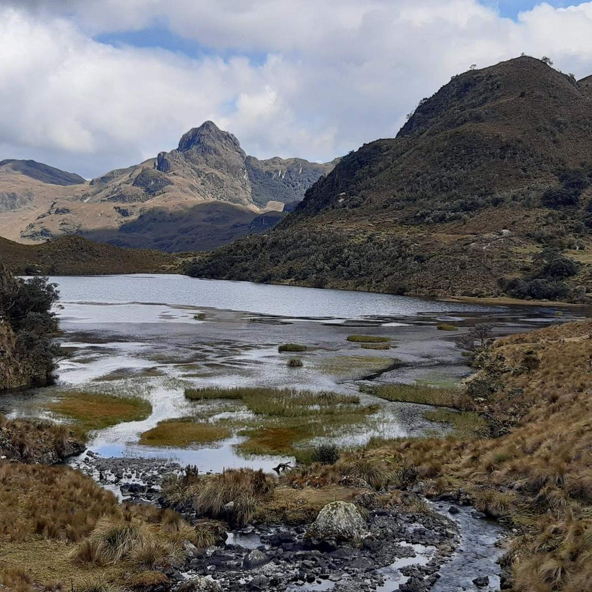
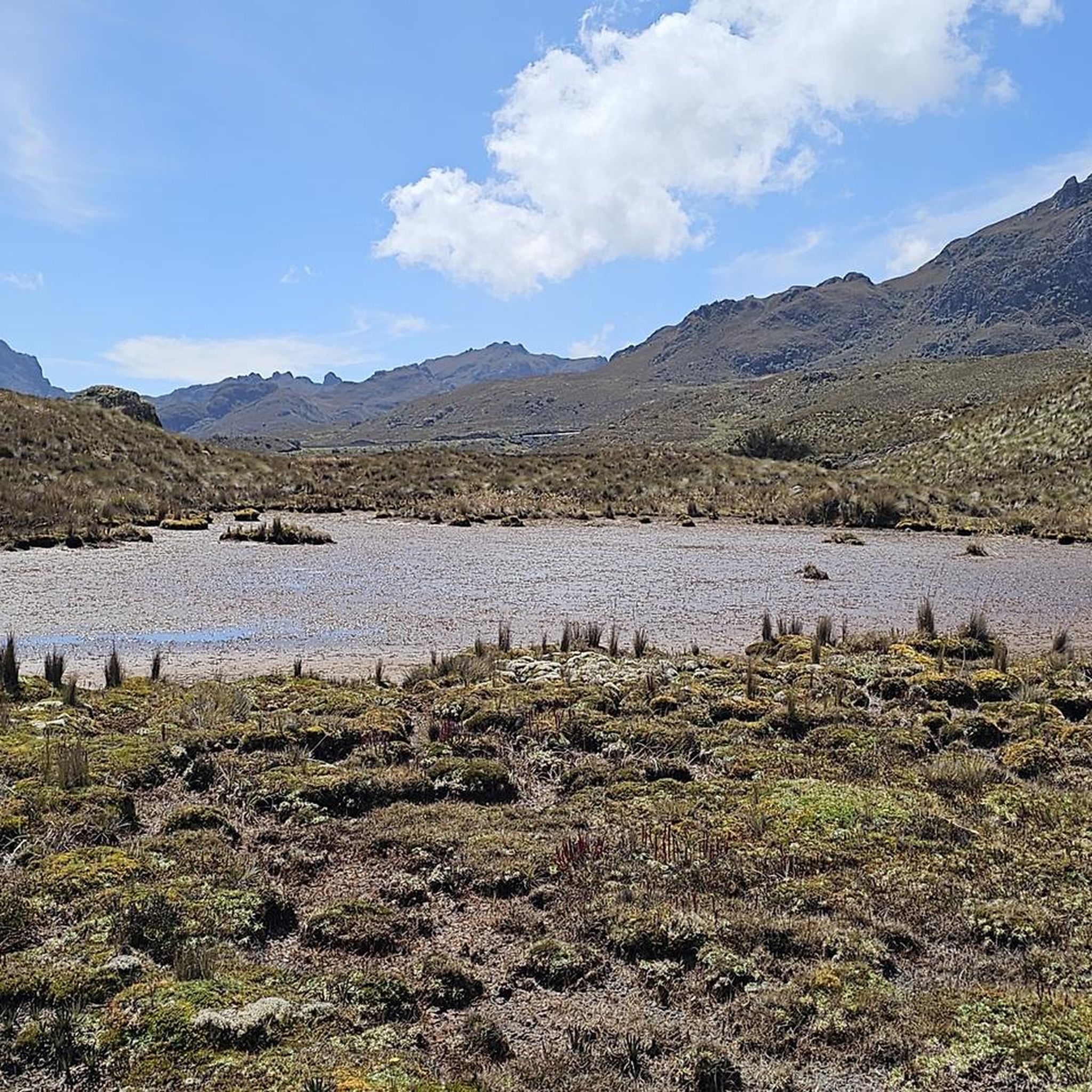
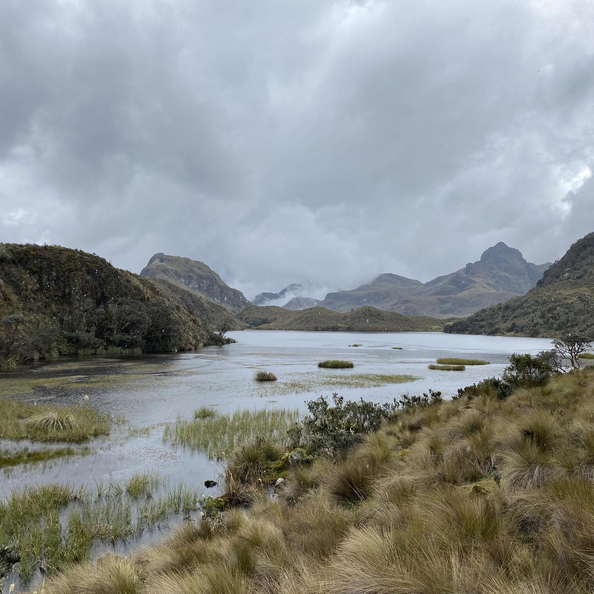
Mirador Tres Cruces is a lookout point at the highest point of Cajas National Park, offering phenomenal views over the lagoons and the Cajas Mountains. From here, you can embark on various hikes around the lagoons or through the raised bog.
0
0

One of the many wonderful views and insights in Cajas NP. Also easy to reach for the quick passer-by.
1
0

A paradise for nature lovers
0
0
Beautiful scenery and you're almost alone.
0
0

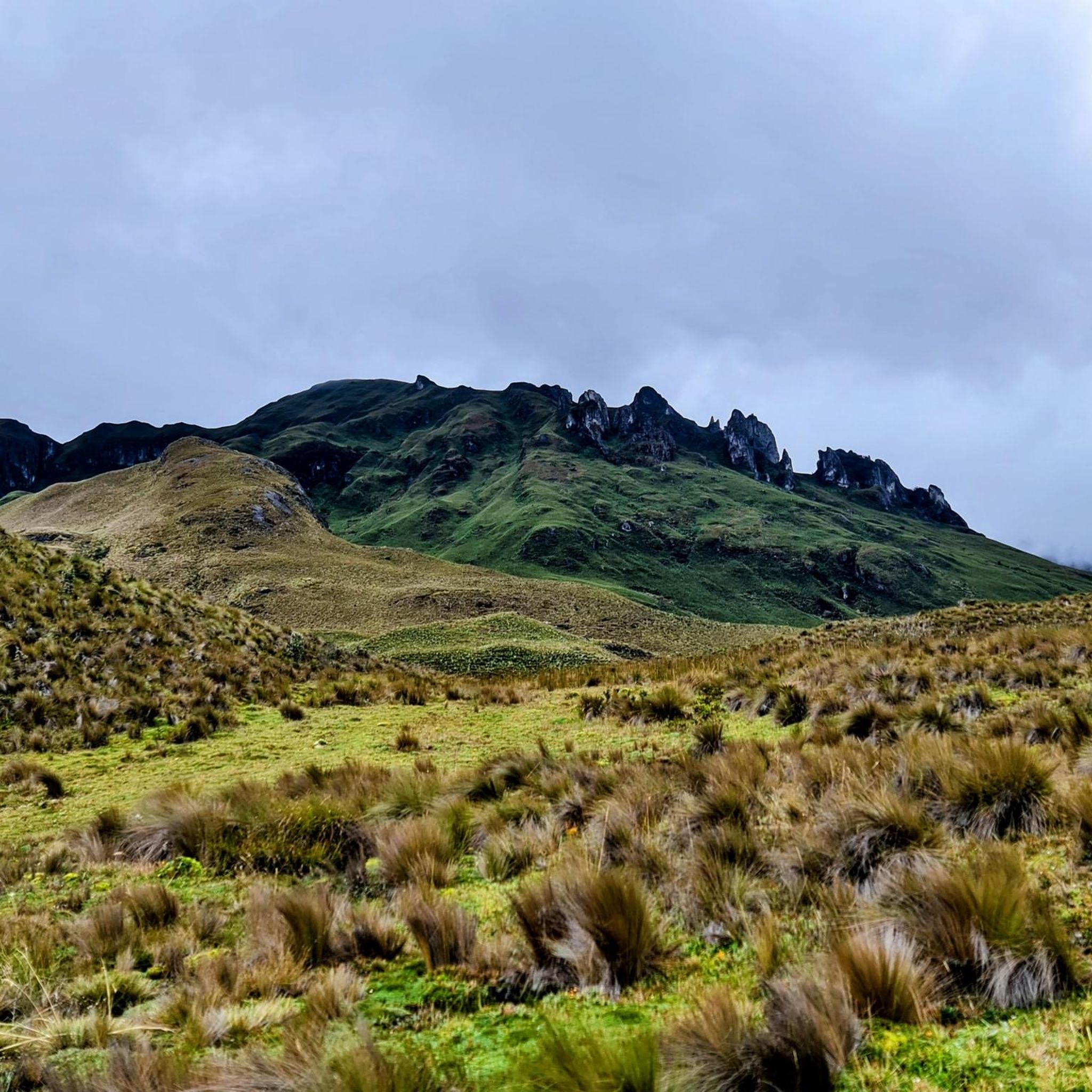
Beautiful flora and fauna on the hike.
0
0

The wooden planks that lead to the small observation decks, which are occupied by all the bus tourists, did not interest us at this pass. We aimed for the highest point. Those under the antenna and the shelter. Here we found wide views over the many lakes, part of the local Inca Trail. It's always a good feeling to stand at the top in the wind of the wilderness, as if you were master of the realms below you.
1
0
Nice views from the hills along the way. A deep view of the lake landscape and the Paramo
2
0

Nice vantage point on the lake.
1
0
Frequently Asked Questions
How many hiking trails are available in Areas Del Interior De La Cuenca Del Rio Paute?
The region offers a selection of 7 hiking trails, ranging from moderate to difficult, providing diverse options for exploring the Andean landscape.
What do other hikers enjoy about the trails in Areas Del Interior De La Cuenca Del Rio Paute?
The trails in this region are highly rated by the komoot community, with an average score of 4.8 stars from over 80 reviews. Hikers frequently praise the stunning Andean mountain vistas, the diverse natural features, and the varied terrain that offers both challenging and rewarding experiences.
What are the difficulty levels of hiking trails in Areas Del Interior De La Cuenca Del Rio Paute?
The hiking trails in Areas Del Interior De La Cuenca Del Rio Paute are primarily moderate to difficult. You'll find 5 moderate routes and 2 difficult routes, reflecting the rugged Andean terrain with significant elevation changes.
Are there any circular hiking routes in Areas Del Interior De La Cuenca Del Rio Paute?
Yes, many of the popular routes in the region are circular. Examples include the challenging Laguna Machangaracocha loop from Presa Chanlud, the moderate Laguna Toreadora – United Lagoons loop from El Cajas - La Toreadora, and the García Moreno Trail – Laguna Toreadora loop from El Cajas - La Toreadora.
What natural features can I expect to see while hiking in this region?
The region is rich in natural beauty, nestled within the Andes Mountain Range. You'll encounter stunning mountain vistas, deep gorges, and varied vegetation. Notable features include picturesque lakes and lagoons like Laguna Machangaracocha and Laguna Toreadora, as well as the significant Paute River and numerous waterfalls. Many trails offer panoramic views from various viewpoints.
Are there any specific viewpoints or landmarks along the hiking trails?
Yes, the region boasts several viewpoints offering panoramic perspectives. While specific trails may pass by them, general viewpoints include Mirador Loropico, Mirador Delta del Río Paute, Mirador de Tagual, and Mirador Bellavista. The Mirador Tres Cruces – Huagrahuma loop from Hermanos Prado specifically features a prominent viewpoint.
What is the best time of year to go hiking in Areas Del Interior De La Cuenca Del Rio Paute?
Due to its location in the Andean highlands, the region experiences varied weather. While hiking is possible year-round, it's generally advisable to check local weather forecasts, especially for higher elevations, as conditions can change rapidly. The dry season typically offers more stable weather for hiking.
Are there any family-friendly hiking options in the region?
While many trails feature significant elevation, some routes within the nearby Cajas National Park, such as parts of the Laguna Toreadora – United Lagoons loop from El Cajas - La Toreadora, can be suitable for families looking for moderate walks, depending on the children's experience and fitness levels.
Can I bring my dog on the hiking trails in Areas Del Interior De La Cuenca Del Rio Paute?
Policies regarding dogs can vary, especially within protected areas like Cajas National Park. It's recommended to check specific regulations for each trail or park section you plan to visit, as some areas may have restrictions to protect wildlife and ecosystems.
What kind of wildlife might I see while hiking?
The diverse natural landscapes are home to various wildlife. You might spot birds such as sparrows, blackbirds, and hummingbirds. In areas like Cajas National Park, there's a chance to see larger animals like llamas and even the majestic Andean condor.
Is Cajas National Park part of the Areas Del Interior De La Cuenca Del Rio Paute region?
Yes, Cajas National Park is a significant part of the outdoor appeal of the region, known for its stunning landscapes and diverse ecosystems. Many popular trails, such as those around Laguna Toreadora, are located within or adjacent to the park.
Do I need a permit to hike in Areas Del Interior De La Cuenca Del Rio Paute, especially in Cajas National Park?
For trails within Cajas National Park, permits or registration might be required, and there may be entrance fees. It's advisable to check the official Cajas National Park website or local visitor centers for the most current information on entry requirements before your visit.
Are there options for parking at the trailheads?
For popular trailheads, especially those near Cajas National Park like El Cajas - La Toreadora, there are often designated parking facilities. However, for less frequented routes, parking availability might be more limited, so planning ahead is recommended.
Most popular routes in Areas Del Interior De La Cuenca Del Rio Paute

Get inspired with the komoot mobile app


Explore more
Browse the best Hikes in other regions.
