The best cycling routes around Hörscheid
4.5
(4063)
18,244
riders
596
rides
Touring cycling around Hörscheid offers diverse landscapes within the Volcanic Eifel, characterized by unique geological formations, maars, and panoramic viewpoints. The region features picturesque river valleys, including the Ahr, Nims, and Prüm, which provide family-friendly cycle paths with gentle inclines. A significant network of former railway lines has been converted into largely flat cycling paths, offering scenic views without strenuous ascents. While some areas present challenging climbs through hilly and wooded terrain, other parts offer flatter routes suitable for various…
Last updated: October 13, 2026
4.1
(7)
53
riders
Moderate bike ride. Good fitness required. Mostly paved surfaces. Suitable for all skill levels.
4.3
(4)
29
riders
29.5km
02:12
400m
400m
Moderate bike ride. Good fitness required. Mostly paved surfaces. Suitable for all skill levels.

4.8
(6)
27
riders
33.7km
02:47
540m
540m
Hard bike ride. Very good fitness required. Mostly paved surfaces. Suitable for all skill levels.
5.0
(1)
17
riders
7.22km
00:32
100m
100m
Easy bike ride. Great for any fitness level. Mostly paved surfaces. Suitable for all skill levels.
5.0
(2)
21
riders
11.1km
00:46
160m
160m
Moderate bike ride. Good fitness required. Mostly paved surfaces. Suitable for all skill levels.
Get access to more routes and recommendations from other explorers.
Already have an account?
Our route recommendations are based on thousands of hikes, rides, and runs completed by other people on komoot.
Start today with a free account
Your next adventure awaits.
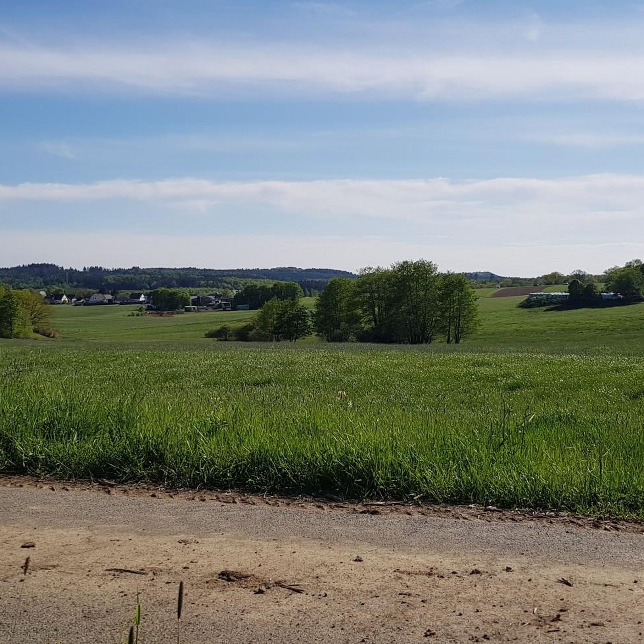
Tips from the Community

Take a break and enjoy the view
0
0


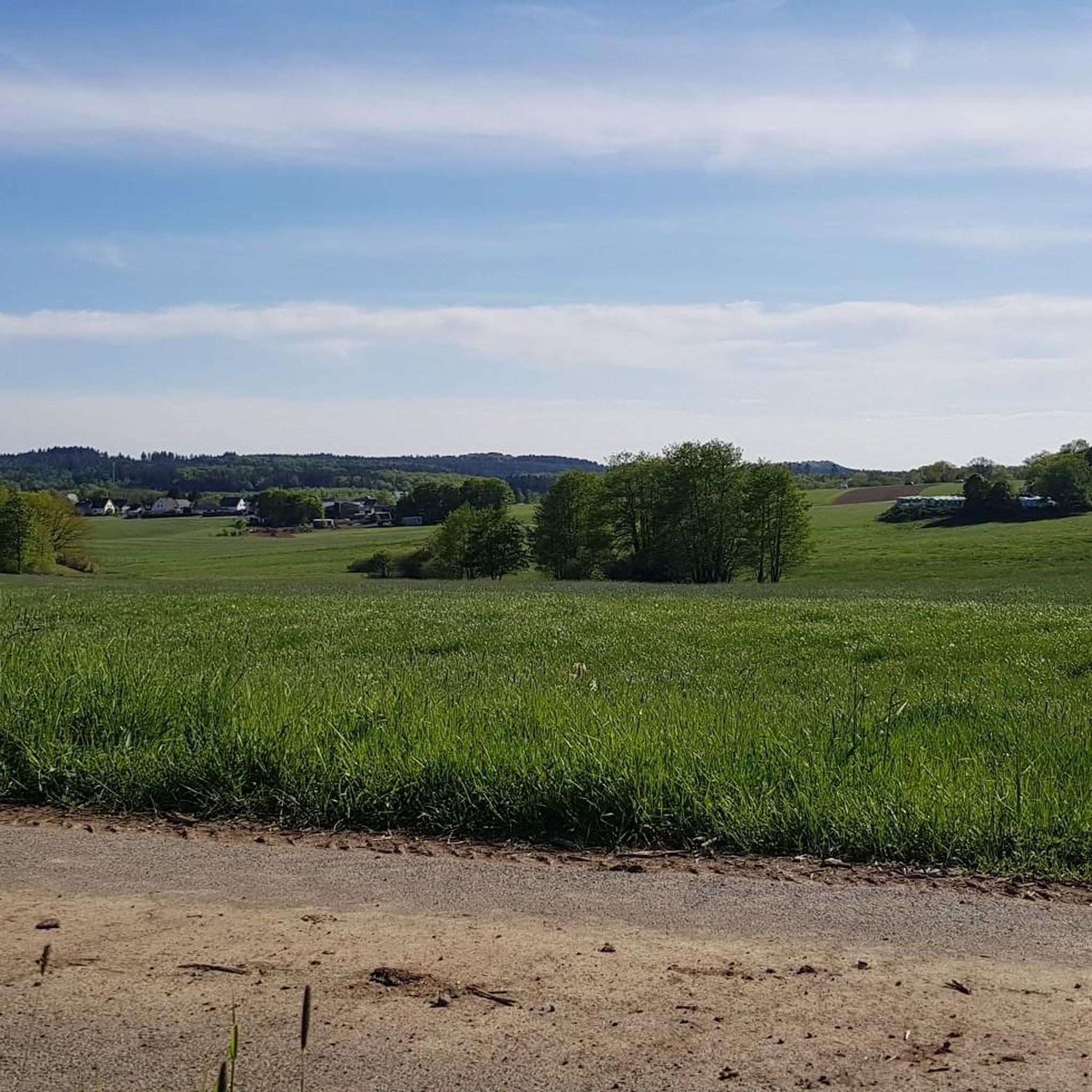
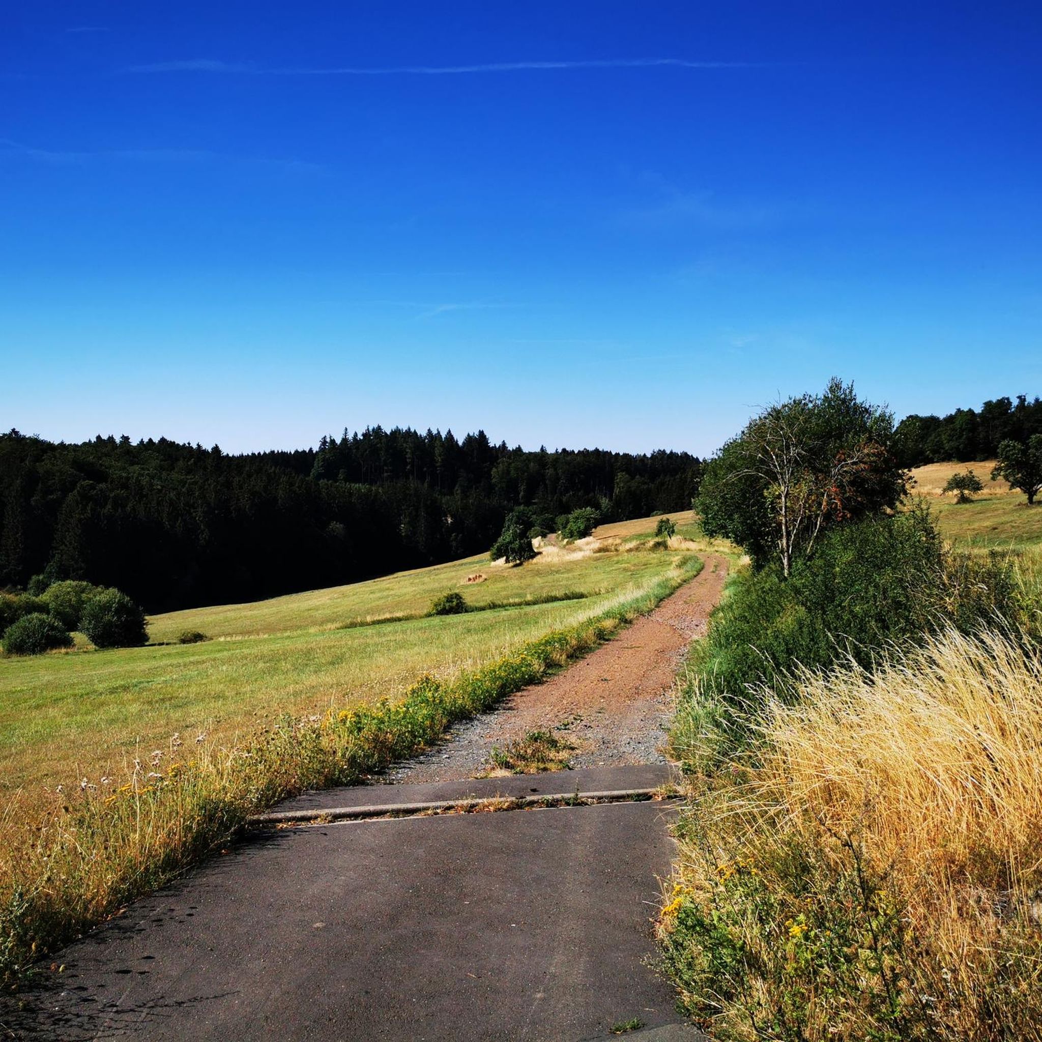
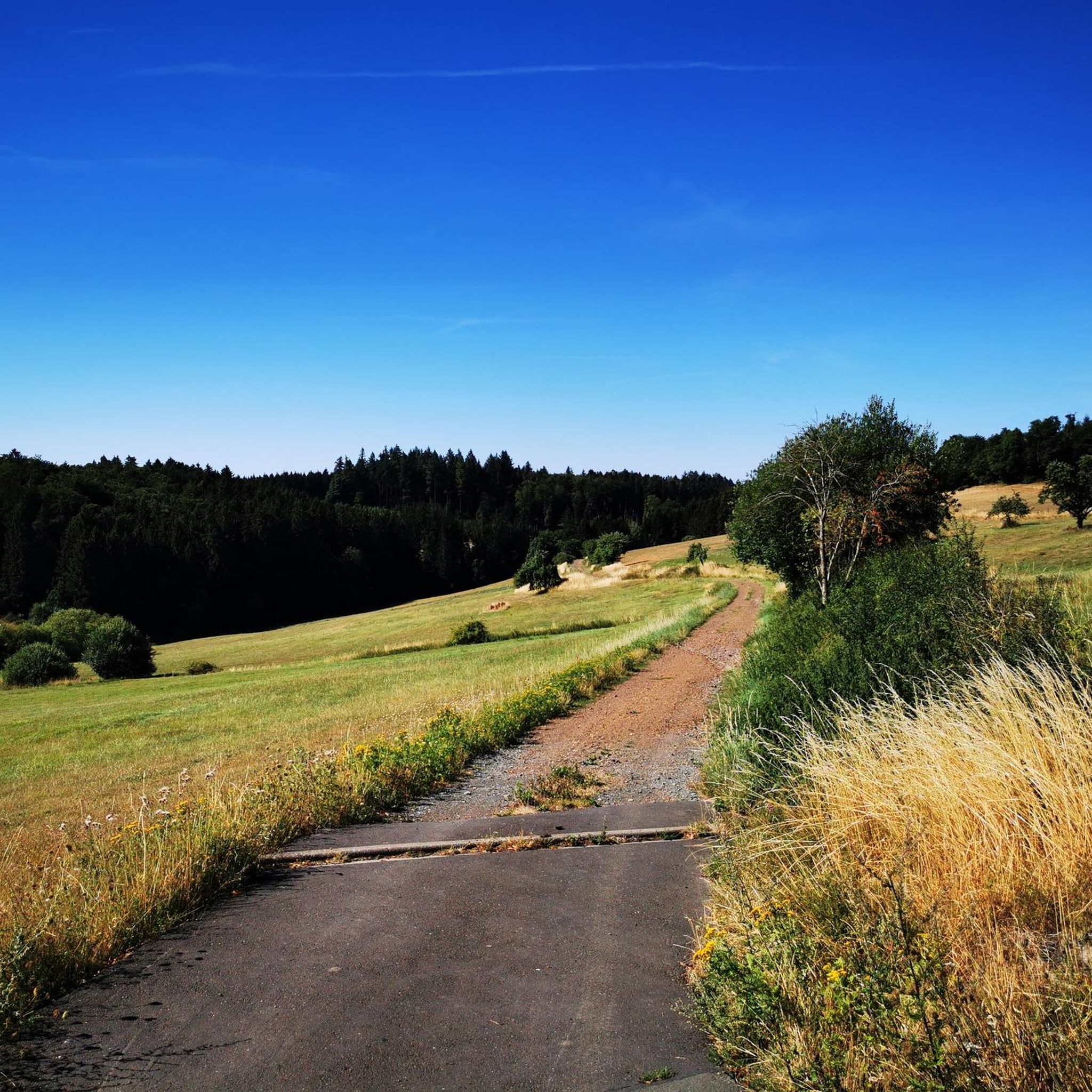
There are very beautiful and paved paths in the Eifel, away from the tourist routes.
1
0

A comfortable bench with a beautiful view—we enjoyed taking a chat break here early in the morning and enjoying the morning atmosphere!
1
0

1 million years of geology. Worth putting your bike aside for a moment.
6
0
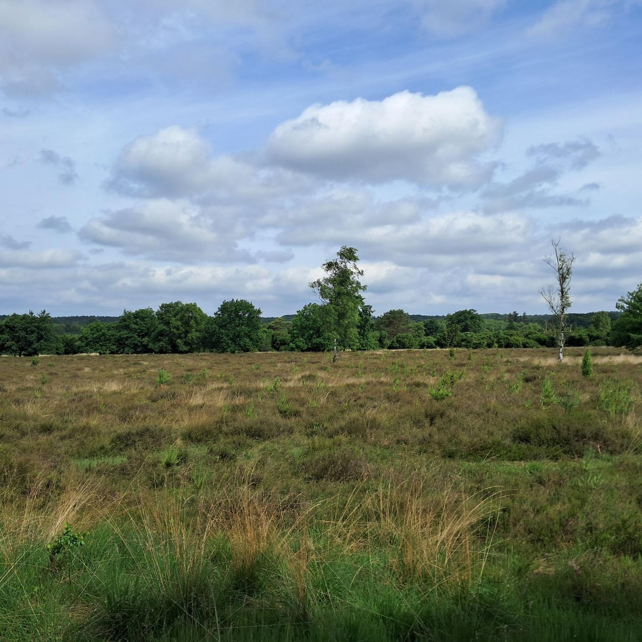
The landscape reflects the geological development of millions of years.
6
0
Beautiful cozy square in the middle of the village.
5
0
The Sarmersbach XXL or panoramic bench was built in November 2020 and is the largest bench in Rhineland-Palatinate. At 3.25 meters high and 6.27 meters long, it is unique. Over 6 cubic meters of Douglas fir wood were used. You can easily reach the bench via a wooden walkway – no climbing required! However, enter at your own risk. Anyone who takes a break here will be rewarded with a magnificent view.
6
0
Frequently Asked Questions
How many touring cycling routes are available around Hörscheid?
There are over 600 touring cycling routes in the Hörscheid area, offering a wide variety of options for different skill levels and preferences. This includes 79 easy routes, over 300 moderate routes, and more than 200 difficult routes.
Are there easy touring cycling routes suitable for beginners or families?
Yes, the region offers many family-friendly cycle paths, especially those along picturesque river valleys like the Ahr, Nims, and Prüm, which feature generally gentle inclines. Routes converted from former railway lines are also largely flat and ideal for an easier ride. There are 79 easy routes available.
What kind of landscapes can I expect to see while cycling around Hörscheid?
You'll experience a diverse landscape, from picturesque river valleys to hilly and wooded areas of the Vulkaneifel. The Vulkaneifel is known for its geological diversity, featuring forests, meadows, lakes, streams, moors, and distinctive stream valleys. Many routes also offer scenic views from viaducts and along old railway lines.
Are there any routes that follow old railway lines?
Yes, a significant feature of touring cycling around Hörscheid is the network of former railway lines converted into cycling paths. These routes are popular for their largely flat terrain and scenic views, such as the loop that incorporates the Grünewald Viaduct – Pleiner Tunnel loop from Darscheid, which utilizes such infrastructure.
Can I find challenging routes for advanced touring cyclists?
Absolutely. While there are many gentle routes, the broader Vulkaneifel region includes hilly and wooded landscapes that present challenging climbs. There are over 200 difficult routes available, such as the Kyll River – View of Kasselburg Castle loop from Darscheid, which features significant elevation changes.
What historical sites or natural landmarks can I visit along the cycling routes?
The region is rich in points of interest. You can cycle past the Freudenkoppe Castle Ruins, the Upper Castle of Ulmen, or the Dreis Castle. Natural landmarks include the Dronke Tower on the Mäuseberg for panoramic views, or the Millstone Cave at Nerother Kopf. The Maarkreuz offers a view of the Schalkenmehren Maar.
Are there circular touring cycling routes available?
Yes, many touring cycling routes around Hörscheid are designed as loops, allowing you to start and end in the same location. Examples include the popular View from Daun Viaduct – Through the 'Große Schlitzohr' loop from Darscheid and the Ueßbach at Schönbacher Mühle – Firmerich Shelter View of Daun loop from Darscheid.
What do other cyclists say about the touring cycling experience in Hörscheid?
The touring cycling routes around Hörscheid are highly rated by the komoot community, with an average score of 4.5 stars from over 3,100 reviews. Cyclists often praise the varied terrain, from gentle river valleys to scenic former railway lines, and the geological diversity of the Vulkaneifel.
Is it possible to rent touring bikes in the Hörscheid area?
Yes, e-bike rental options are increasingly present in the broader region, making the more hilly sections accessible to a wider range of cyclists. It's advisable to check local tourism offices or sports shops in nearby towns for specific touring bike rental availability.
Are there accommodations friendly to touring cyclists?
For those planning multi-day tours, 'Bed & Bike' accommodations are available in areas like the Westerwald-Sieg region, which borders the Vulkaneifel. These establishments cater specifically to cyclists, often providing secure bike storage and other amenities.
What are the options for public transport or bike buses to access routes?
The region provides infrastructure to support cyclists, including bike buses such as the Sûre Valley cycle bus, which can transport bikes between Trier and Bollendorf, and the Bergischer FahrradBus, operating in summer to help riders navigate or shorten routes. These services can be useful for reaching starting points or returning after a long ride.
Where can I find parking for touring cycling routes around Hörscheid?
Parking is generally available in towns and villages that serve as starting points for routes. For example, Darscheid is a common starting point for several popular loops. Many converted railway line paths also have designated parking areas at their access points. It's recommended to check specific route details for parking information.
Are there cafes or pubs along the touring cycling routes for refreshments?
Yes, the region has various amenities. Along many routes, especially those passing through villages or towns, you'll find cafes, restaurants, and pubs where you can stop for refreshments and meals. The Vulkaneifel region is well-equipped to cater to visitors.
What is the best time of year for touring cycling in Hörscheid?
The spring, summer, and early autumn months generally offer the best conditions for touring cycling in Hörscheid, with pleasant temperatures and lush landscapes. The varied terrain means you can find enjoyable rides throughout these seasons, though some higher, more exposed areas might be windier.
Are dogs allowed on the cycling trails in the Vulkaneifel region?
While many outdoor areas in the Vulkaneifel are dog-friendly, specific rules can vary depending on the trail and whether it passes through protected areas. Generally, dogs are allowed on trails if kept on a leash. It's always best to check local signage or specific trail regulations for the most accurate information.
Most popular routes around Hörscheid
Most popular attractions around Hörscheid

Get inspired with the komoot mobile app


Explore more
Browse the best Cycling routes in other regions.
