The best MTB trails in Tenancingo- Malinalco - Zumpahuacan
5.0
(33)
45
riders
11
rides
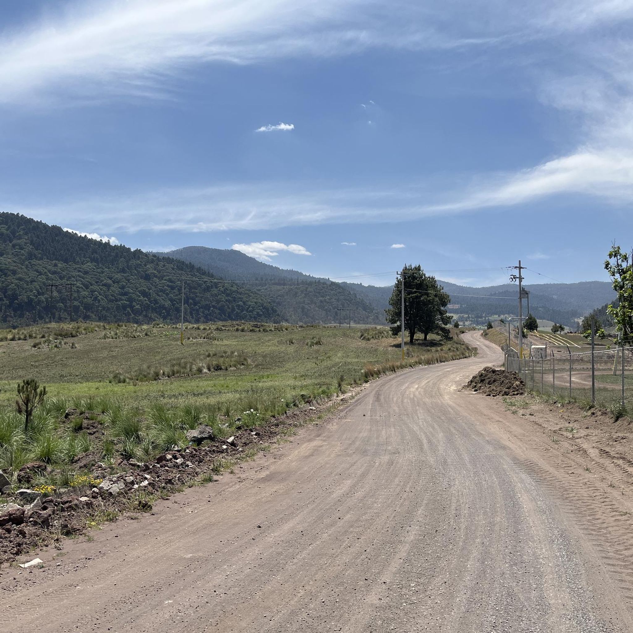
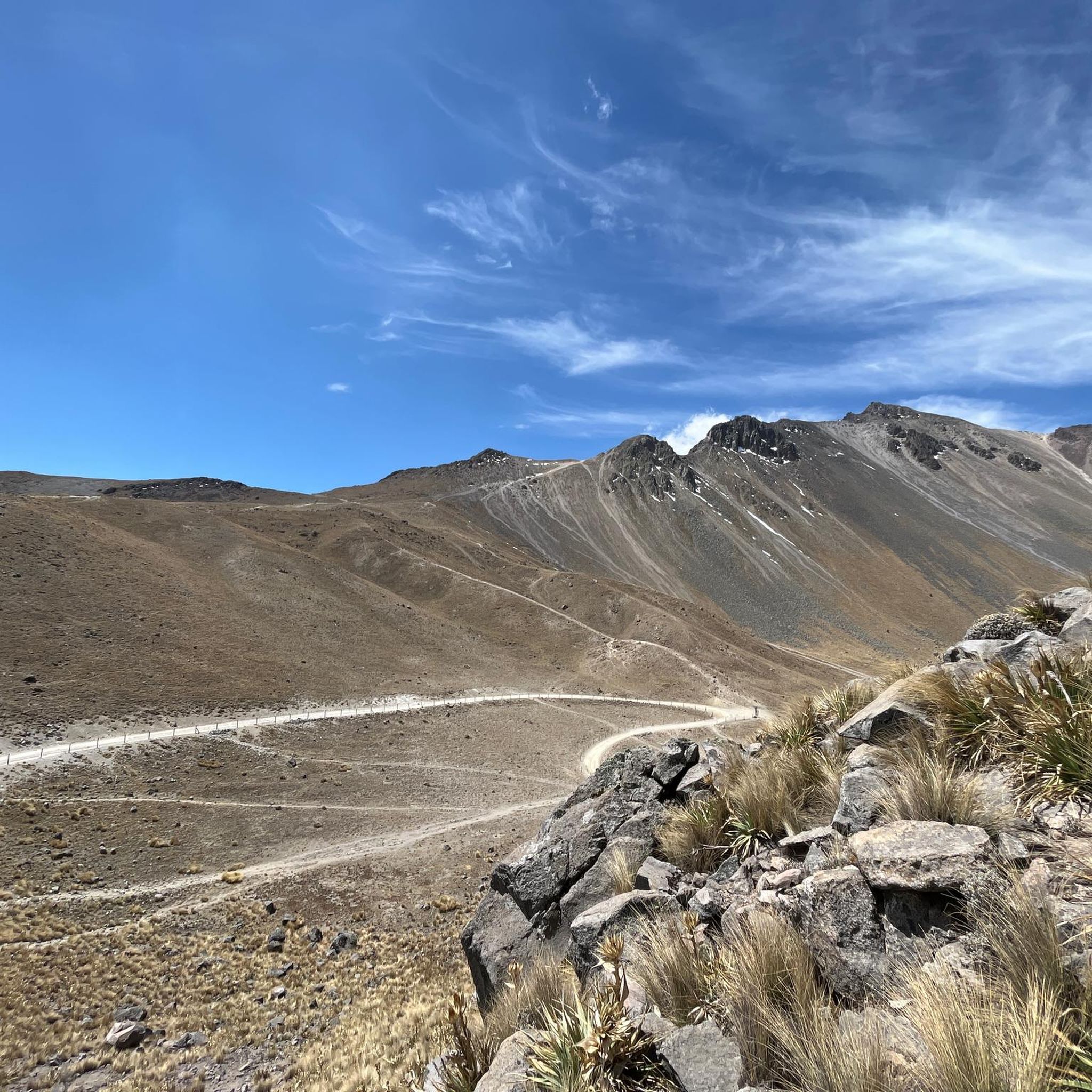
Mountain bike trails in Tenancingo- Malinalco - Zumpahuacan traverse a Protected Natural Area characterized by diverse landscapes and varied terrain. The region's topography, influenced by the Neovolcanic Axis and Sierra Madre del Sur, features mountains, ravines, and a mix of pine, oak, and tropical deciduous forests. This ecological diversity provides a range of trail types, from forested singletracks to more open routes. The area offers mountain biking options for all skill levels, with routes ranging from easy, mostly paved paths…
Last updated: July 10, 2026
4.7
(23)
10
riders
16.3km
01:14
300m
300m
Easy mountain bike ride. Great for any fitness level. Suitable for all skill levels.
5.0
(1)
6
riders
40.8km
02:15
240m
240m
Moderate mountain bike ride. Good fitness required. Suitable for all skill levels.

Sign up for free
5.0
(3)
6
riders
29.2km
02:08
550m
550m
Moderate mountain bike ride. Good fitness required. Suitable for all skill levels.
5.0
(1)
3
riders
33.4km
02:08
470m
470m
Moderate mountain bike ride. Good fitness required. Suitable for all skill levels.
5.0
(1)
3
riders
35.5km
02:44
660m
660m
Moderate mountain bike ride. Good fitness required. Suitable for all skill levels.
Get access to more routes and recommendations from other explorers.
Sign up for free
Already have an account?
Our route recommendations are based on thousands of hikes, rides, and runs completed by other people on komoot.
Start today with a free account
Your next adventure awaits.
Login or Signup
Popular around Tenancingo- Malinalco - Zumpahuacan
Tips from the Community


Frequently Asked Questions
What kind of terrain can I expect on mountain bike trails in Tenancingo-Malinalco-Zumpahuacan?
The region offers incredibly diverse terrain, ranging from forested singletracks through pine, oak, and tropical deciduous forests to more open routes. You'll encounter varied landscapes due to its location in a transition zone between Neartic and Neotropical biogeographical regions, featuring mountains, ravines, and different forest types.
Are there mountain bike trails suitable for beginners or families in the Tenancingo-Malinalco-Zumpahuacan area?
Yes, there are options for all skill levels. For an easy introduction, consider the Chapel of San Lorenzo – Cruz de Don Lore loop from Tenango de Arista. This 10.1-mile (16.3 km) route is mostly paved and offers a gentle ride through varied scenery, making it suitable for those seeking a less challenging experience.
What are some options for more advanced mountain bikers looking for a challenge?
While the guide features a majority of moderate routes, the region's topography, influenced by the Neovolcanic Axis and Sierra Madre del Sur, means there are challenging trails with significant elevation gains. Two routes are specifically graded as difficult, offering demanding rides for very good fitness levels where you might need to push your bike on steeper sections.
Are there any loop mountain bike trails in Tenancingo-Malinalco-Zumpahuacan?
Yes, many of the mountain bike routes in the area are loops. For example, the Calvary of Metepec – Pyramid of Tenayuca loop from Narciso Bassols is a moderate 25.3-mile (40.8 km) path that provides a circular journey through the local landscape, featuring a mix of paved and unpaved segments.
How long do mountain bike trails typically take to complete in this region?
The duration varies significantly based on the trail's length and difficulty. An easy route like the Chapel of San Lorenzo – Cruz de Don Lore loop from Tenango de Arista can take around 1 hour 13 minutes. Moderate routes, such as the Chapel of San Lorenzo – Cruz de Don Lore loop from Narciso Bassols, typically take about 2 hours 8 minutes for 18.1 miles (29.2 km).
What do other mountain bikers say about the trails in Tenancingo-Malinalco-Zumpahuacan?
The mountain bike trails in Tenancingo-Malinalco-Zumpahuacan are highly regarded by the komoot community, with an average rating of 4.9 stars from over 30 reviews. Riders frequently praise the varied terrain and the opportunity to explore diverse natural environments, from pine forests to low deciduous forests.
What kind of natural features or landscapes will I encounter while mountain biking here?
You'll experience a rich variety of natural features. The region is a Protected Natural Area with diverse vegetation including tropical deciduous, oak, and pine-oak forests. Expect to ride through mountains, ravines, and areas where the landscape transitions between different ecological zones, offering constantly changing scenery.
Are there any specific routes that offer a good mix of forest types?
Yes, many routes traverse the region's varied forests. The Chapel of San Lorenzo – Cruz de Don Lore loop from Narciso Bassols is a great example, leading through varied forest types, including pine and oak groves, providing a rich natural experience.
How many mountain bike trails are available in the Tenancingo-Malinalco-Zumpahuacan region?
There are 11 mountain bike routes available in the Tenancingo-Malinalco-Zumpahuacan region, catering to various skill levels from easy to difficult.
Are there any routes that offer significant elevation changes?
Absolutely. The region's topography, influenced by the Neovolcanic Axis and Sierra Madre del Sur, means many routes feature notable elevation gains. For instance, the Cruz de Don Lore – Chapel of San Lorenzo loop from Tenango de Arista includes an ascent of over 660 meters, providing a substantial workout and rewarding views.
What is the general difficulty breakdown of mountain bike trails in this area?
The trails are predominantly moderate, with 8 out of 11 routes falling into this category. There is one easy route perfect for a relaxed ride, and two difficult routes for experienced mountain bikers seeking a significant challenge.
Most popular routes in Tenancingo- Malinalco - Zumpahuacan

Get inspired with the komoot mobile app


Explore more
Browse the best MTB trails in other regions.
