The best walks and hikes around Hornsömmern
4.6
(232)
745
hikers
142
hikes
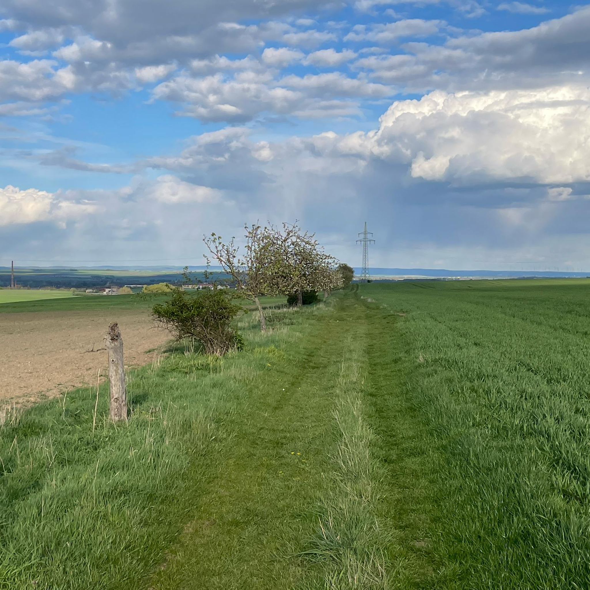
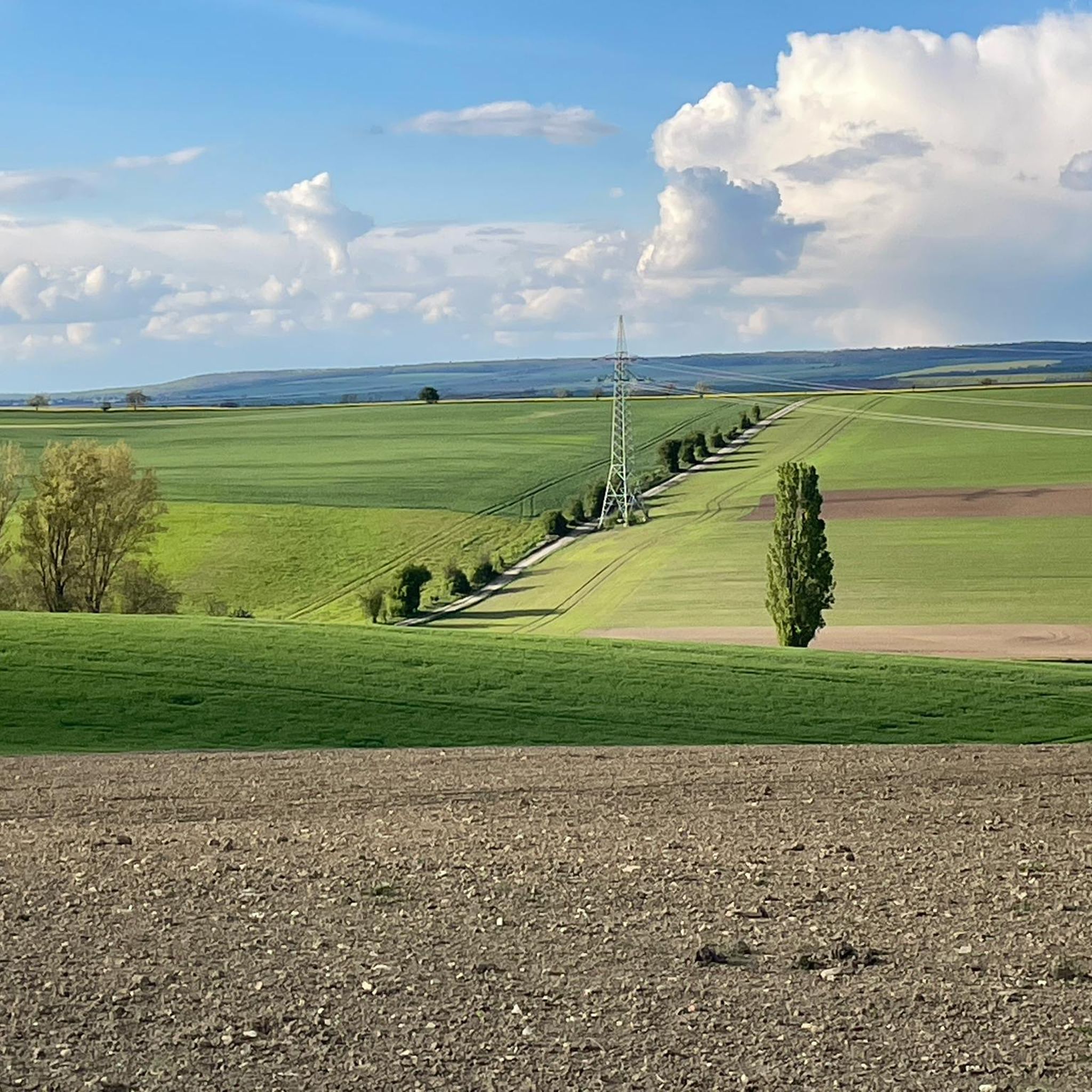
Hiking around Hornsömmern offers routes through a characteristic hilly agricultural landscape in the Unstrut-Hainich-Kreis. The region is situated on the southeastern slope of a 334-meter elevation, providing varied terrain and open vistas. Small streams, part of the Unstrut river system, crisscross the locale, offering pleasant walks along watercourses. This blend of cultivated land and natural water features creates a calm and scenic backdrop for outdoor activities.
Best hiking trails around Hornsömmern
- The most popular hiking route is Sulphur Spring Bad…
Last updated: June 26, 2026
4.8
(4)
23
hikers
Moderate hike. Good fitness required. Easily-accessible paths. Suitable for all skill levels.
4.2
(6)
14
hikers
6.33km
01:39
40m
40m
Easy hike. Great for any fitness level. Easily-accessible paths. Suitable for all skill levels.

Sign up for free
5.0
(2)
8
hikers
14.6km
03:52
150m
150m
Moderate hike. Good fitness required. Easily-accessible paths. Suitable for all skill levels.
5.0
(2)
8
hikers
Easy hike. Great for any fitness level. Easily-accessible paths. Suitable for all skill levels.
3.0
(2)
5
hikers
Easy hike. Great for any fitness level. Easily-accessible paths. Suitable for all skill levels.
Get access to more routes and recommendations from other explorers.
Sign up for free
Already have an account?
Our route recommendations are based on thousands of hikes, rides, and runs completed by other people on komoot.
Start today with a free account
Your next adventure awaits.
Login or Signup

Tips from the Community

Quiet and historic train station.
0
0

The train from Nordhausen and Erfurt stops every two hours.
1
0
I don't know where the cars are supposed to park, because a farm track runs alongside this sign, but a parking space is a parking space. (Free)
1
0

Single stamps, often no highlights, somewhere in the fields and meadows, where hares and hedgehogs usually say goodnight to each other, where thousands now go and are eyed strangely by locals – did it have to be chosen like this? Touringen organizers, it could definitely be done better! Exploring Thuringia is truly interesting and beautiful, we say that so often on the road! You get to places you'd never have strayed into before. But guiding thousands of people to often questionable individual highlights is truly ecologically counterproductive. What were the people in charge thinking? 😳
0
0
In clear weather you can see the surrounding mountain ranges Possen, Fahner Höhe and Ettersberg near Weimar.
1
0
Interesting wooden aqueduct that "transports" the stream over a gorge.
2
0
Beautiful landscape and natural paths
0
0
I have not yet found much information about routes, such as the route from Bad Tennstedt to Grüningen. Only one or two articles on the Internet. https://leader-rag-kyff.de/getmedia.php/_media/leader/202004/32953v0-orig.pdf
0
0
Frequently Asked Questions
How many hiking trails are available around Hornsömmern?
There are over 140 hiking routes around Hornsömmern. These include a variety of options, with 93 easy trails, 55 moderate trails, and 1 more challenging route, catering to different fitness levels.
What kind of landscape can I expect when hiking near Hornsömmern?
Hiking around Hornsömmern offers routes through a characteristic hilly agricultural landscape. You'll find open vistas, small streams that are part of the Unstrut river system, and trees lining roads and watercourses. The area is situated on the southeastern slope of a 334-meter elevation, providing varied terrain.
Are there any circular hiking routes in Hornsömmern?
Yes, many routes around Hornsömmern are designed as loops. For example, the Sulphur Spring Bad Tennstedt – Ballhausen Castle and Park loop from Bad Tennstedt is a popular moderate circular trail. Another easy option is the Weir in Kurpark Bad Tennstedt – Sulphur Spring Bad Tennstedt loop from Bad Tennstedt, offering a gentle park setting.
What natural features or landmarks can I discover on hikes around Hornsömmern?
The region offers several natural highlights. You can explore the Sulphur Spring Bad Tennstedt, which is a natural monument. There are also various lakes nearby, such as the Herbslebener Teiche Nature Reserve and the Hängsberg Lake (Greußen), which can be part of longer routes.
Are there any historical or cultural sites accessible from the trails?
Yes, the area around Hornsömmern features cultural sites. The Ballhausen Castle and Park is a notable attraction that can be incorporated into hikes, such as the Sulphur Spring Bad Tennstedt – Ballhausen Castle and Park loop from Bad Tennstedt. The historic St. Marien evangelical church in Hornsömmern itself also features Romanesque elements.
Are the hiking trails around Hornsömmern suitable for families with children?
Many of the trails around Hornsömmern are suitable for families, especially the 93 easy routes. These paths are generally accessible and offer varied terrain without being overly strenuous. The Boundary Stone Lützensömmern – Spargelhof Kutzleben loop from Lützensömmern is an easy option that leads through agricultural areas.
Can I bring my dog on the hiking trails in Hornsömmern?
Generally, dogs are welcome on hiking trails in the Hornsömmern region. It's always advisable to keep your dog on a leash, especially in agricultural areas or near wildlife, and to respect local regulations regarding pets.
What is the best time of year to go hiking in Hornsömmern?
The best time to hike in Hornsömmern is typically during spring, summer, and early autumn when the weather is mild and the landscape is vibrant. These seasons offer pleasant conditions for exploring the hilly agricultural areas and streams.
What do other hikers say about the trails in Hornsömmern?
The hiking routes in Hornsömmern are highly rated by the komoot community, with an average score of 4.6 stars from over 200 reviews. Hikers often praise the varied terrain, open vistas, and the tranquility of the agricultural landscape.
Are there any easy, shorter routes suitable for a quick walk?
Yes, there are many easy and shorter routes available. An example is the Weir in Kurpark Bad Tennstedt – Sulphur Spring Bad Tennstedt loop from Bad Tennstedt, which is an easy 4.1 km path, perfect for a gentle stroll through a park setting.
Where can I find parking for hiking trails in Hornsömmern?
While specific parking areas for each trail are not detailed, many villages and towns in the Unstrut-Hainich-Kreis, including those near Hornsömmern, offer public parking options. It's recommended to check for designated parking at trailheads or in the centers of starting villages like Bad Tennstedt or Lützensömmern.
Is there public transport access to the hiking areas around Hornsömmern?
Hornsömmern is part of the Bad Tennstedt administrative community, which has some regional bus connections. While direct access to every trailhead by public transport might be limited, you can often reach nearby towns like Bad Tennstedt, which serve as good starting points for many routes, via local bus services.
Most popular attractions around Hornsömmern

Get inspired with the komoot mobile app


Explore more
Browse the best Hikes in other regions.
