The best cycling routes in Rathtrevor Beach Provincial Park
4.8
(11)
112
riders
10
rides
Touring cycling routes in Rathtrevor Beach Provincial Park offer a mix of coastal paths and inland trails. The region is characterized by its flat to gently rolling terrain, making it suitable for various cycling abilities. Riders can expect to encounter forested areas, open parkland, and views of the Strait of Georgia. The elevation changes are generally mild, with no significant hills over 200m.
Best touring cycling routes in Rathtrevor Beach Provincial Park
- The most popular touring cycling route is View of Beachfront Homes loop from Coombs, an easy 9.6 miles (15.5 km) trail that takes 1 hour 2 minutes to complete. This route features scenic views of the coastline and residential areas.
- Another top favourite among local touring cyclists is New Rail Crossing loop from Parksville, a moderate 17.9 miles (28.7 km) path. This route explores the local landscape, including sections near former railway lines.
- Local touring cyclists also love the New Rail Crossing – Qualicum Beach Heritage Forest loop from Parksville, a 25.3 miles (40.7 km) trail leading through forested areas and along coastal stretches, often completed in about 2 hours 29 minutes.
- Touring cycling in Rathtrevor Beach Provincial Park is defined by coastal views, forested sections, and accessible paths. The network offers options for different ability levels, from easy loops to more challenging longer routes.
- The routes in Rathtrevor Beach Provincial Park are highly rated by the komoot community with an average score of 4.8 stars from over 15 reviews. More than 150 touring cyclists have used komoot to explore Rathtrevor Beach Provincial Park's varied terrain.
Last updated: October 21, 2026
11
riders
Easy bike ride. Great for any fitness level. Mostly paved surfaces. Suitable for all skill levels.
5.0
(2)
18
riders
Moderate bike ride. Good fitness required. Mostly paved surfaces. Suitable for all skill levels.

4.0
(1)
14
riders
35.2km
02:17
420m
420m
Moderate bike ride. Good fitness required. Mostly paved surfaces. Suitable for all skill levels.
5.0
(1)
10
riders
Easy bike ride. Great for any fitness level. Mostly paved surfaces. Suitable for all skill levels.
4.3
(3)
6
riders
60.7km
03:41
520m
520m
Hard bike ride. Very good fitness required. Mostly paved surfaces. Suitable for all skill levels.
Get access to more routes and recommendations from other explorers.
Already have an account?
Our route recommendations are based on thousands of hikes, rides, and runs completed by other people on komoot.
Start today with a free account
Your next adventure awaits.
Popular around Rathtrevor Beach Provincial Park


Tips from the Community

The Englishman River Estuary offers an easy, flat trail through one of Parksville’s richest wildlife areas. Expect views of the river, salt marsh, forest, and ocean. If you're lucky, you might even spot some of the 250 bird species found here, including, notably, the Pacific Brant Goose. The trail can get muddy, so choose footwear accordingly.
0
0

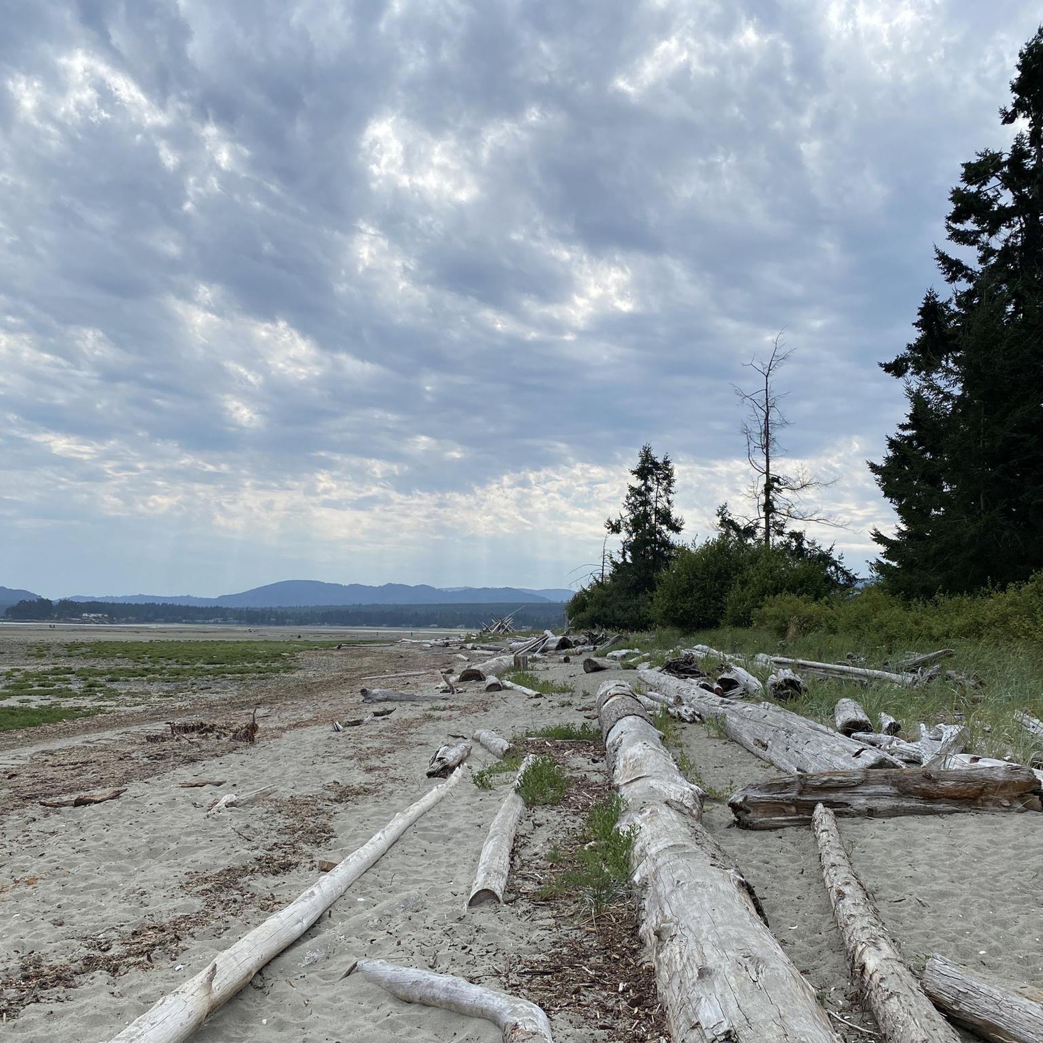
Parksville is famous for its broad sandy beaches, where the tide can recede nearly a kilometre at low tide, exposing vast sand flats along the Salish Sea. Originally established as a railway town in the late 1800s, it's now one of Vancouver Island's best-known seaside destinations and the home of the annual Parksville Beach Festival sand sculpting competition.
0
0
The Jensen Avenue Greenway marks the Parksville end of the Parksville–Qualicum Beach Links. This paved multi-use path connects the city with French Creek and Qualicum Beach, providing a safer alternative to travelling along Highway 19A.
0
0
French Creek Community Park sits beside the harbour overlooking the Strait of Georgia, with views across the water to the Coast Mountains on clear days. It's a great place to watch fishing boats and pleasure craft coming and going from one of Vancouver Island's busiest fishing ports.
0
0

This extension of the Hoylake Pathway is to the west and follows Hoylake Road closely. The roadside section of trail is out of the woods but then dips back into the woods and follows Grandon Creek out to the sea.
0
0

Qualicum Beach Heritage Forest is 50 acres of old-growth forest with some trees over 500 years in age. The well-marked, mulched trails make for an easy outing.
0
0

A cute little museum, made with a lot of love. Next door is the former train station with a steam locomotive.
1
0

Excellent burgers will make the wait for the ferry more pleasant.
0
0
Frequently Asked Questions
How many touring cycling routes are available in Rathtrevor Beach Provincial Park?
There are over 10 touring cycling routes in Rathtrevor Beach Provincial Park, offering a variety of experiences for different skill levels. You'll find options ranging from easy coastal rides to more challenging longer loops.
Are there easy touring cycling routes suitable for beginners or families?
Yes, Rathtrevor Beach Provincial Park offers several easy touring cycling routes perfect for beginners or families. For instance, the View of Beachfront Homes loop from Coombs is an easy 9.6-mile (15.5 km) trail that provides scenic views without significant elevation changes.
What are the best times of year for touring cycling in Rathtrevor Beach Provincial Park?
The best seasons for touring cycling in Rathtrevor Beach Provincial Park are typically spring, summer, and fall. The mild climate of Vancouver Island makes for pleasant riding conditions, with summer offering warm, dry weather. While winters are mild, they can be wetter, so be prepared for rain if cycling during those months.
Are there any circular touring cycling routes in the park?
Many of the touring cycling routes in Rathtrevor Beach Provincial Park are designed as loops, allowing you to start and end at the same point. A popular moderate option is the New Rail Crossing loop from Parksville, which explores local landscapes over 17.9 miles (28.7 km).
Where can I park my car when visiting Rathtrevor Beach Provincial Park for cycling?
Rathtrevor Beach Provincial Park has designated parking areas for visitors. You can typically find parking near the main beach access points or trailheads within the park. Specific parking details for individual routes are often available on the route pages.
What kind of scenery can I expect on the touring cycling routes?
The touring cycling routes in Rathtrevor Beach Provincial Park offer diverse scenery, including coastal paths with views of the Strait of Georgia, sections through old-growth forests, and open parkland. You'll experience a mix of natural beauty and glimpses of local residential areas.
Are there any longer or more challenging touring cycling routes for experienced riders?
For experienced touring cyclists seeking a longer challenge, the Qualicum Beach Heritage Forest – Old Country Market loop from Northwest Bay at Langara (NB) is a difficult 36.3-mile (58.4 km) route. This extensive loop features more significant elevation changes and explores a wider area.
What should I pack for a summer touring cycling trip in Rathtrevor Beach Provincial Park?
For summer touring cycling, it's advisable to pack light, breathable clothing, sun protection (sunscreen, hat, sunglasses), plenty of water, and snacks. A basic bike repair kit and a first-aid kit are also recommended. The weather can change, so a light jacket might be useful for cooler mornings or evenings.
What do other touring cyclists enjoy most about cycling in Rathtrevor Beach Provincial Park?
The area is highly rated by the komoot community, with an average score of 4.8 stars. Reviewers often praise the accessible paths, the beautiful coastal views, and the opportunity to cycle through both forested sections and along the beach, making for a varied and enjoyable experience.
Are there cafes or places to eat near the touring cycling paths?
While the park itself is primarily natural, the surrounding communities of Parksville and Qualicum Beach, which many routes pass through or near, offer a variety of cafes, restaurants, and pubs where you can refuel. For example, the New Rail Crossing – Qualicum Beach Heritage Forest loop from Parksville takes you closer to these amenities.
Can I find routes that combine coastal views with inland exploration?
Absolutely. Many routes in the park offer a blend of coastal scenery and inland exploration. The Pool – Schooner Cove loop from Parksville is a moderate 22-mile (35.4 km) route that allows you to experience both the shoreline and the natural beauty of the park's interior.
Most popular routes in Rathtrevor Beach Provincial Park

Get inspired with the komoot mobile app


Explore more
Browse the best Cycling routes in other regions.
