Cypress Island Natural Resources Conservation Area
Cypress Island Natural Resources Conservation Area
The best running trails in Cypress Island Natural Resources Conservation Area
3.5
(2)
97
runners
19
runs
Jogging routes in Cypress Island Natural Resources Conservation Area traverse a landscape characterized by diverse forests, including unique low-elevation serpentine forests, and protected wetlands. The island features a rocky coastline along the Salish Sea and offers panoramic vistas from its steep topography, providing views of the San Juan Islands and mainland Washington. Running trails wind through these varied environments, encompassing tranquil lakes and extensive undeveloped shorelines.
Best jogging routes in Cypress Island Natural Resources Conservation Area
- The most popular jogging…
Last updated: July 7, 2026
6.81km
00:48
210m
210m
Moderate run. Good fitness required. Mostly paved surfaces. Suitable for all skill levels.
3
runners
9.82km
01:03
130m
130m
Moderate run. Good fitness required. Mostly paved surfaces. Suitable for all skill levels.

Sign up for free
3.0
(1)
16
runners
4.33km
00:28
70m
70m
Easy run. Great for any fitness level. Mostly paved surfaces. Suitable for all skill levels.
14
runners
Easy run. Great for any fitness level. Mostly paved surfaces. Suitable for all skill levels.
3
runners
Easy run. Great for any fitness level. Mostly paved surfaces. Suitable for all skill levels.
Get access to more routes and recommendations from other explorers.
Sign up for free
Already have an account?
Our route recommendations are based on thousands of hikes, rides, and runs completed by other people on komoot.
Start today with a free account
Your next adventure awaits.
Login or Signup
Popular around Cypress Island Natural Resources Conservation Area
Tips from the Community

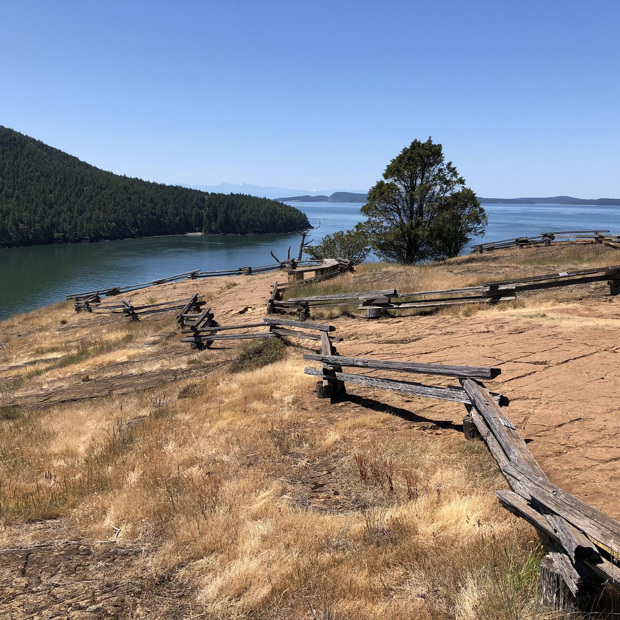
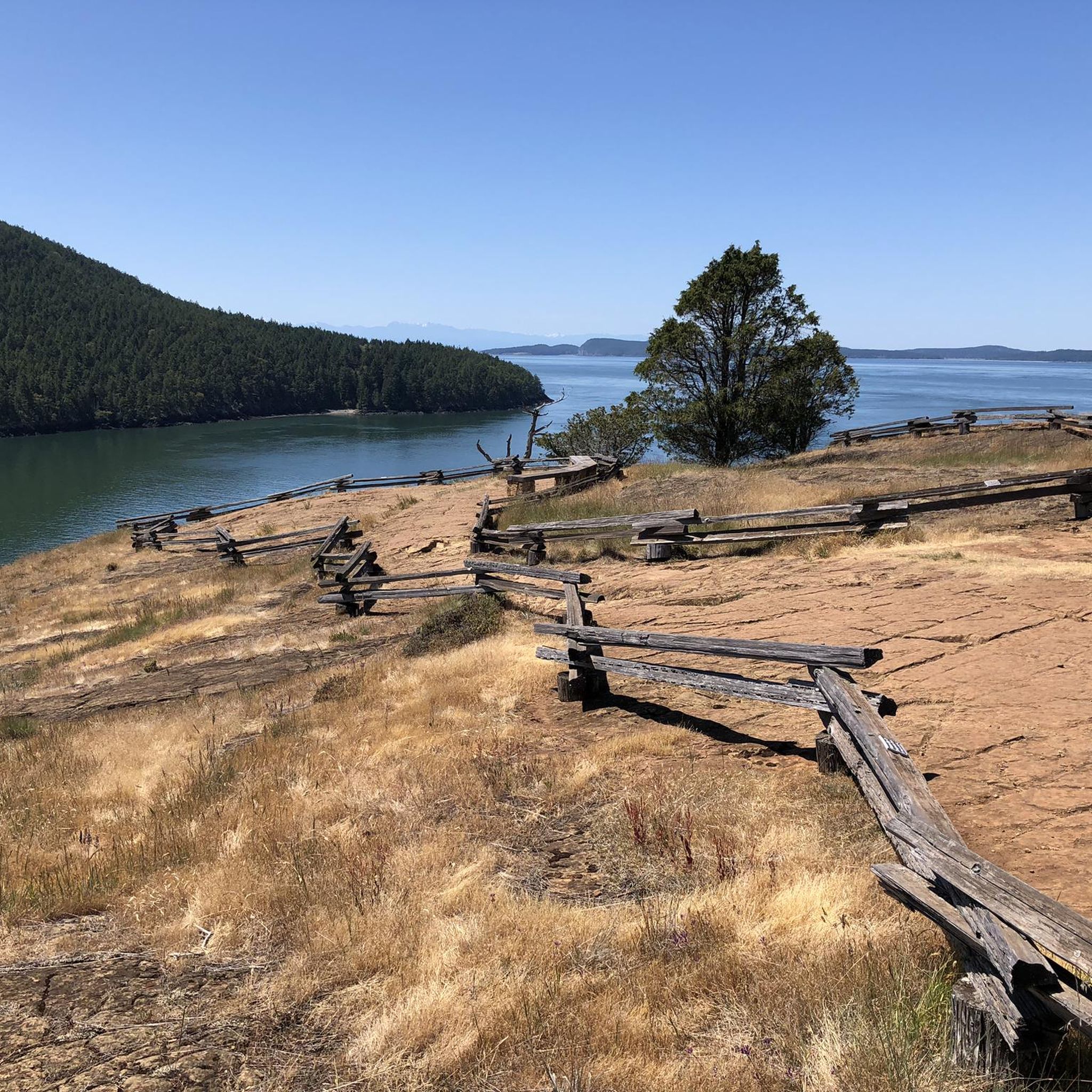
Nestled beneath towering cliffs, a serene cove on the island's northern edge harbors a 15 × 15 cabin, with a plaque, echoing the tale of reclusive Mrs. Zoe Hardy, who found solace here in the 1930s.
0
0
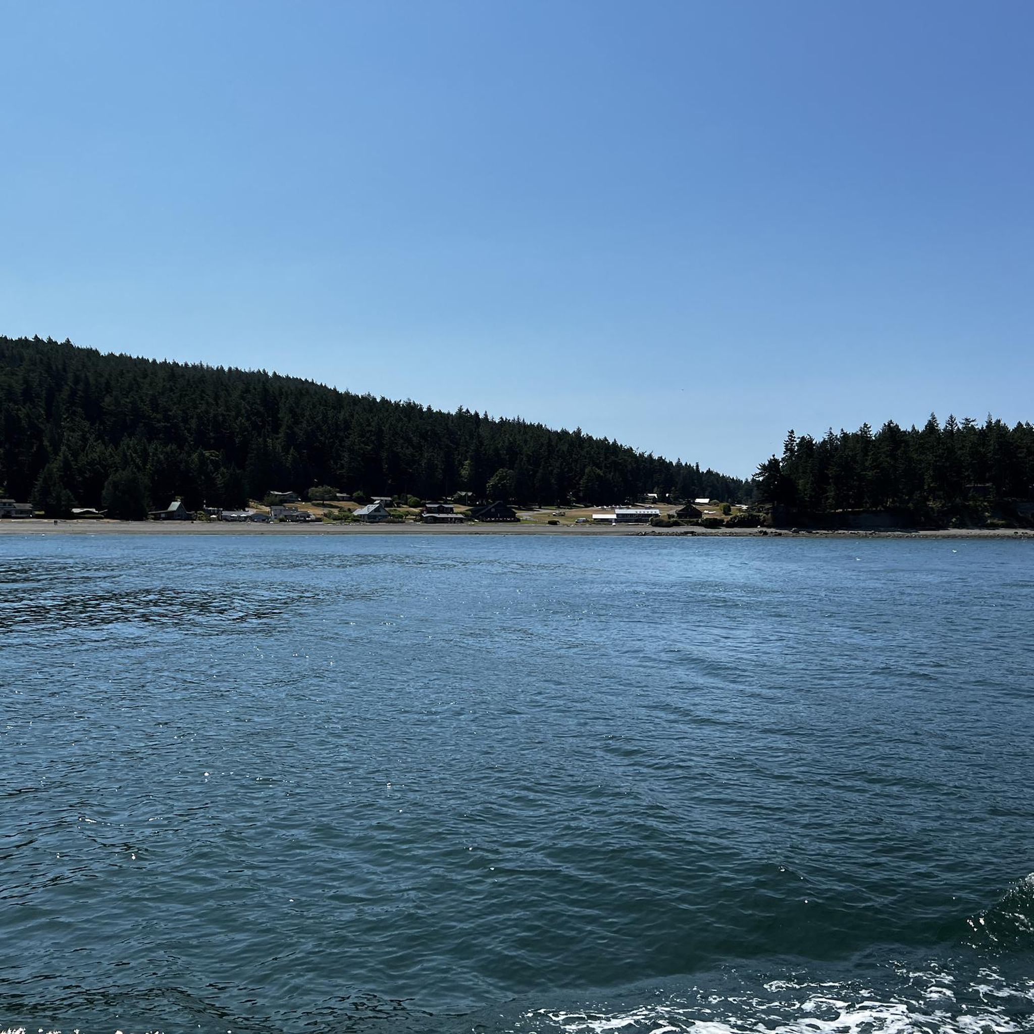
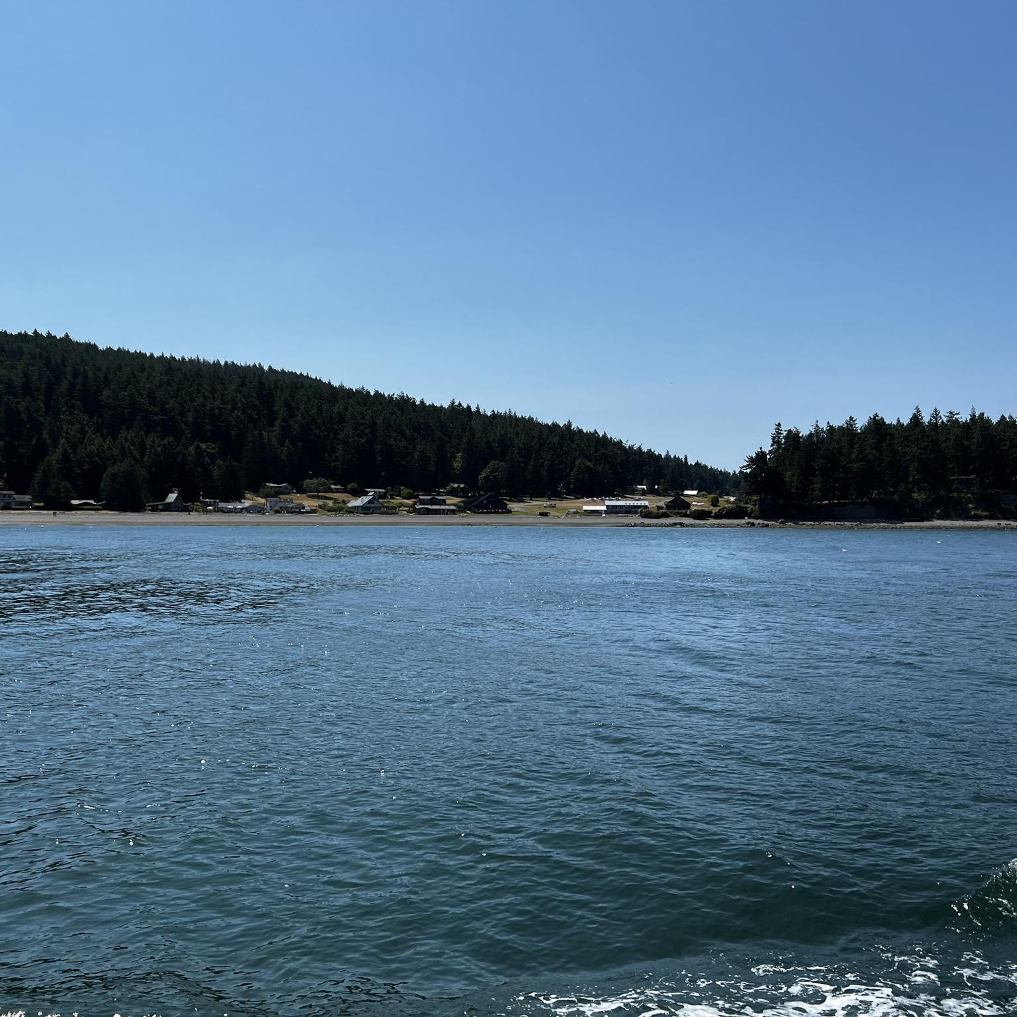
A quiet harbor nestled into the eastern shore of Cypress Island, Eagle Harbor is a great place to dinghy to shore and get a good run. You will have to make arrangements to make it to the Island by watercraft.
0
0
A quiet harbor nestled into the eastern shore of Cypress Island, Eagle Harbor is a great place to dinghy to shore and get a good hike. You will have to make arrangements to make it to the Island by watercraft.
0
0
Nestled beneath towering cliffs, a serene cove on the island's northern edge harbors a 15 x 15 cabin, with a plaque, echoing the tale of reclusive Mrs. Zoe Hardy, who found solace here in the 1930s.
1
0
Burrows Bay, a tranquil inlet near Washington's Fidalgo Island, holds a rich history. Charted by explorers with evolving names, it shares tales of European footsteps and the echoes of its maritime past.
2
0
Orcas Island, a haven of enchantment. Vast wilderness, emerald lakes, and a flourishing artisanal community. It cradles you in its magic, a quintessential gem of Washington state.
0
0

Great place to camp. Make sure to go on Loop Road while you're there. Has free showers too.
0
0
Frequently Asked Questions
How many running routes are available in Cypress Island Natural Resources Conservation Area?
There are over 10 dedicated running routes in Cypress Island Natural Resources Conservation Area, offering a variety of distances and difficulty levels. The komoot community has explored 13 routes in total.
What kind of terrain can I expect on the jogging trails?
The jogging trails on Cypress Island feature diverse terrain, including high-quality forests with Douglas fir and Pacific madrone, rare freshwater wetlands, and native fescue grasslands. You'll also encounter rocky coastlines along the Salish Sea and paths leading to tranquil lakes. The island's steep topography means many routes offer significant elevation changes and panoramic views.
Are there any easy or beginner-friendly running routes on Cypress Island?
Yes, there are several easier options for runners. For example, the Washington Park Loop is an easy 2.7-mile (4.3 km) trail through coastal parkland. Another accessible option is the Burrows Bay – Waterfront at Washington Park loop, which is also rated as easy.
What are some notable viewpoints or natural features I might see while running?
Cypress Island offers stunning panoramic vistas. From viewpoints like Eagle Cliff, you can enjoy 360-degree views of the San Juan Islands, mainland Washington, and the Olympic and Cascade mountain ranges, including Mount Baker. The trails also wind through unique low-elevation serpentine forests, past serene lakes, and along extensive undeveloped shorelines.
Is Cypress Island accessible by public transport, or do I need a car?
Cypress Island is unique in that it is accessible by boat only. There is no public transport directly to the island, and you cannot drive onto it. Visitors typically arrange private boat transport or water taxi services from nearby mainland points like Anacortes.
Are there any loop running routes available?
Yes, many of the running routes on Cypress Island are loops. A popular moderate loop is the Duck Lake and Smugglers Cove Trail Loop, which is 4.2 miles (6.8 km) long. The Washington Park Loop is another excellent loop option.
What is the best time of year to go running in Cypress Island Natural Resources Conservation Area?
The island's natural beauty can be enjoyed year-round, but spring and fall often offer the most pleasant running conditions with milder temperatures and fewer crowds. Summer is also popular, though it can be warmer. Winter running is possible, but trails might be wet, and boat access could be more limited due to weather.
Are dogs allowed on the running trails?
While the region is generally welcoming to outdoor activities, specific regulations regarding dogs on trails within the Cypress Island Natural Resources Conservation Area can vary. It's always best to check the latest guidelines from the Washington State Department of Natural Resources (DNR) before bringing your dog, especially as it's a conservation area with critical wildlife habitat.
Are there any family-friendly running trails suitable for children?
For families, the easier, shorter loop trails are generally the most suitable. The Washington Park Loop, for instance, is a relatively flat and scenic option that many families might enjoy. Always consider the distance and elevation gain when choosing a route for children.
What do other runners say about the trails in Cypress Island Natural Resources Conservation Area?
The running routes in Cypress Island Natural Resources Conservation Area are highly rated by the komoot community, with an average score of 3.5 stars. Runners often praise the stunning natural beauty, diverse landscapes, and the sense of seclusion offered by the island's trails. Many appreciate the panoramic views and the opportunity to experience unique ecosystems.
Are there any facilities or amenities on Cypress Island for runners?
Cypress Island is largely undeveloped to preserve its natural state. While there are designated day-use and camping sites like Cypress Head, Strawberry Bay, and Smugglers Cove, amenities are minimal. Runners should plan to be self-sufficient, carrying their own water, snacks, and any necessary supplies. Pelican Beach does offer some facilities and a barrier-free boardwalk.
What is the longest running route available?
Among the routes listed, the Cranberry Lake loop from Anacortes is one of the longer options, covering approximately 7 miles (11.3 km) with a moderate difficulty rating. For a significant challenge, the region research mentions the North Loop, a 12.8-mile trail with substantial elevation gain, though it's primarily described for hiking.
Most popular routes in Cypress Island Natural Resources Conservation Area

Get inspired with the komoot mobile app


Explore more
Browse the best Running Trails & Routes in other regions.
