The best road cycling routes in Campbell Valley Regional Park
5.0
(2)
46
riders
3
rides
Road cycling in Campbell Valley Regional Park offers routes through varied landscapes, including open fields, forests, and quiet country roads. The terrain is generally characterized by gentle elevation changes, making it suitable for different skill levels. The park itself features a flat Perimeter Trail, and its surroundings provide access to extended cycling adventures on south Langley's rural roads. This area is known for its grassland vistas and vital wetlands, contributing to a diverse cycling environment.
Best road cycling routes in…
Last updated: October 18, 2026
5.0
(1)
3
riders
16.7km
00:45
140m
140m
Moderate road ride. Great for any fitness level. Some segments of this route may be unpaved and difficult to ride.
28
riders
46.6km
02:08
220m
220m
Moderate road ride. Good fitness required. Mostly well-paved surfaces and easy to ride.

5.0
(1)
2
riders
54.1km
02:24
270m
270m
Moderate road ride. Good fitness required. Some segments of this route may be unpaved and difficult to ride.
9
riders
Moderate road ride. Good fitness required. Mostly well-paved surfaces and easy to ride.
4
riders
Easy road ride. Great for any fitness level. Mostly well-paved surfaces and easy to ride.
Our route recommendations are based on thousands of hikes, rides, and runs completed by other people on komoot.
Start today with a free account
Your next adventure awaits.
Popular around Campbell Valley Regional Park
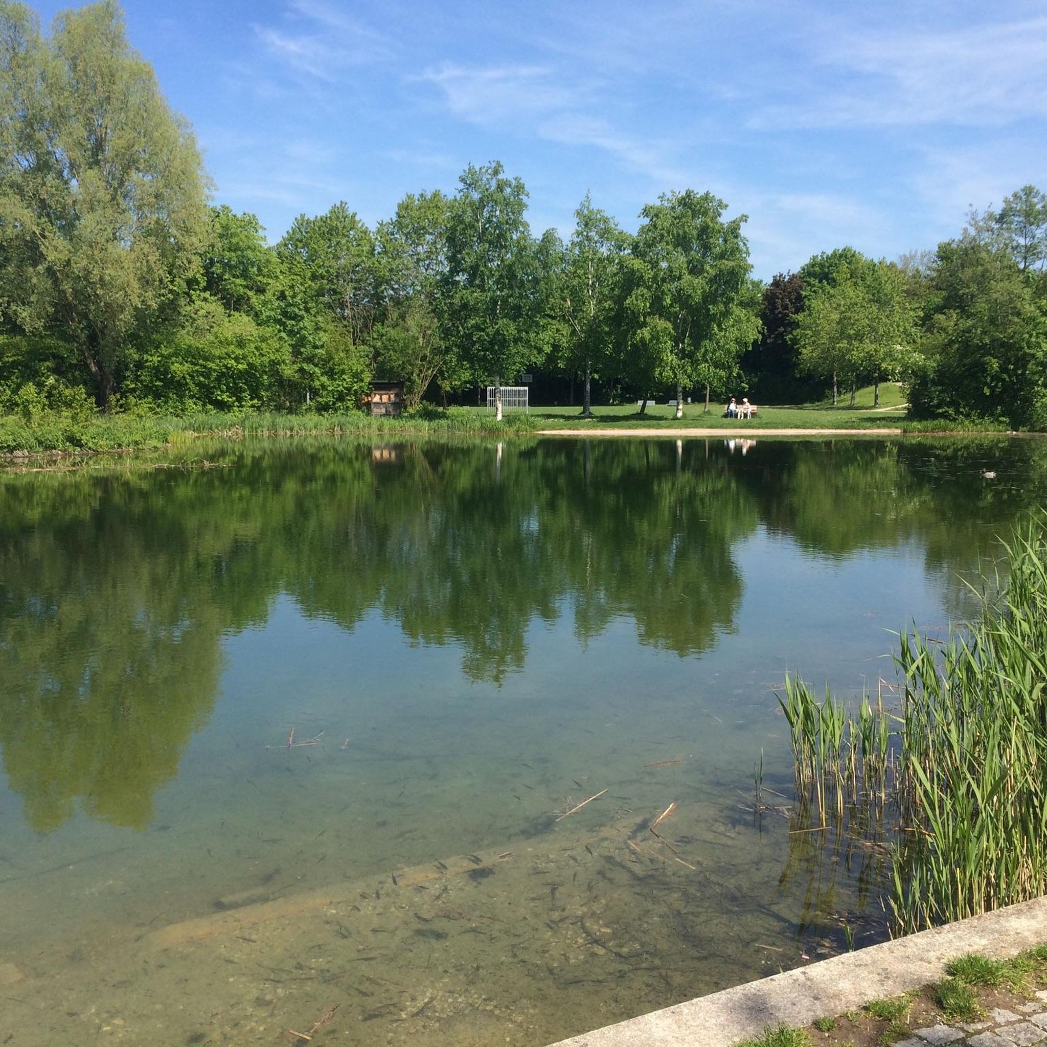
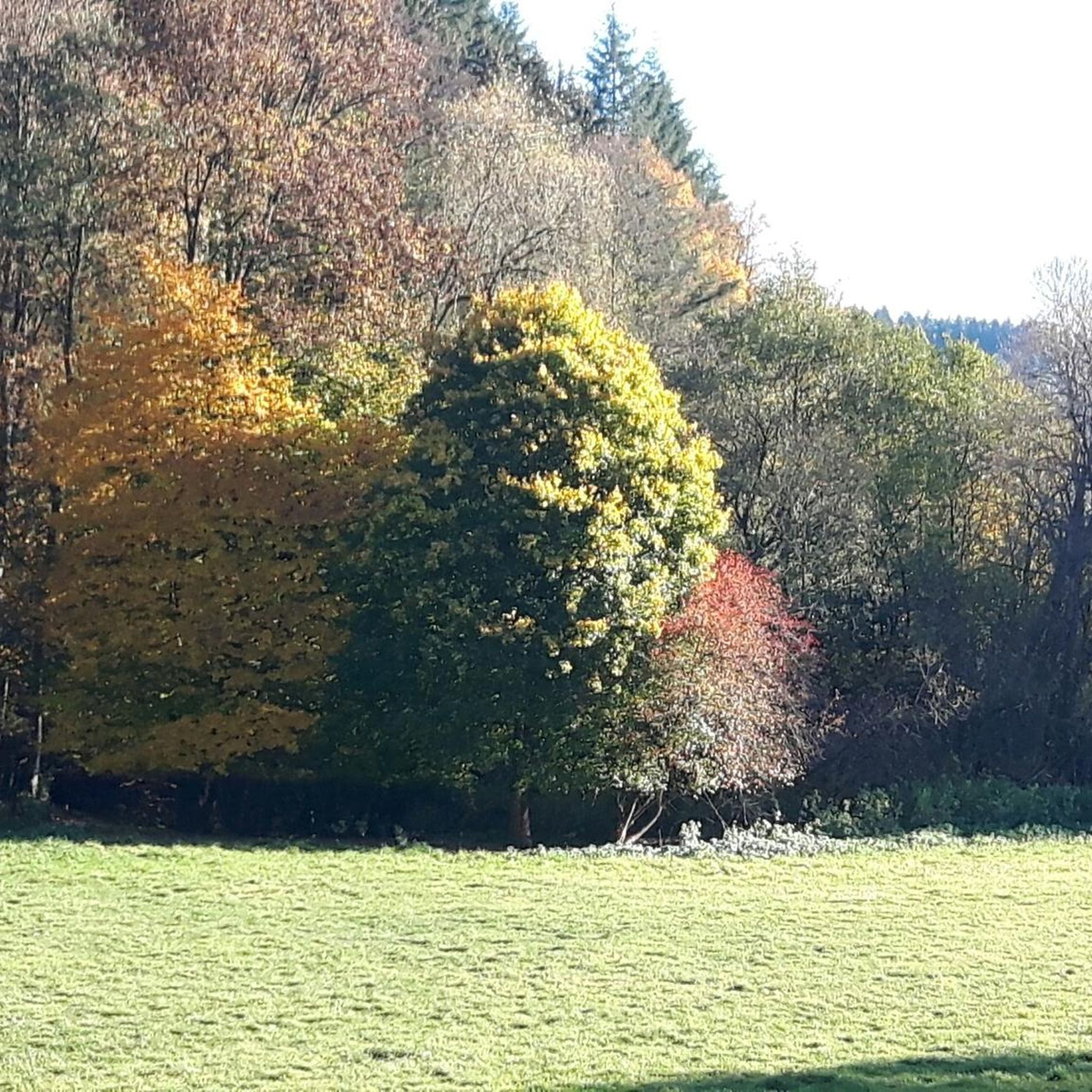
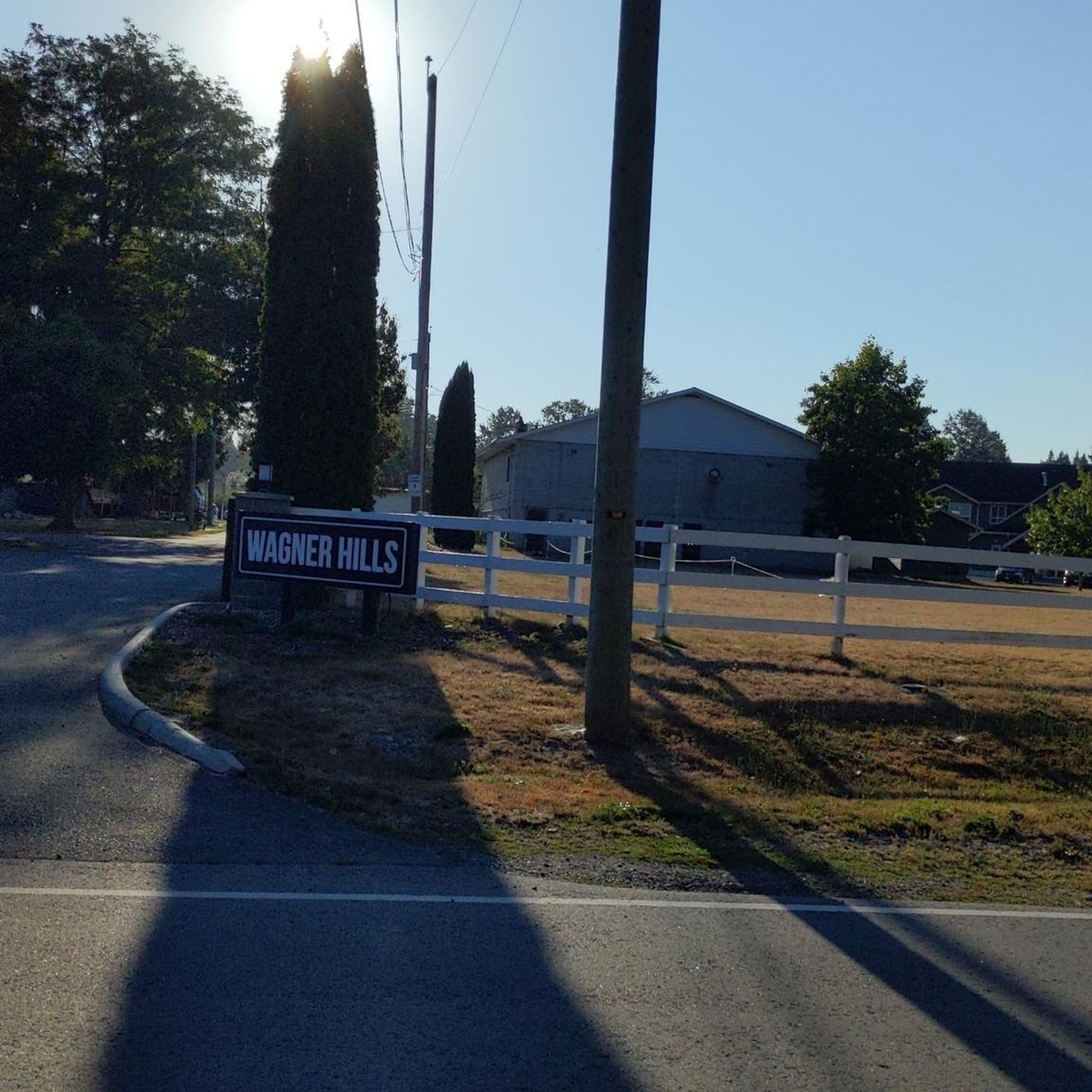
Tips from the Community

Quiet, bucolic, meandering little country road - Telegraph Trail. Ride it either way on a trip around the picturesque Fort Langley Area.
0
0

Pinch yourself, just a short distance from all that is urban, you'll find this beautiful, secluded cove. Complete with views out to the Canadian Gulf Islands. If you have a license, you can even harvest shellfish in season.
0
0

Birch Bay offers a tranquil view with state parks, beaches, and the usual Pacific coast feel. From Birch bay you can spot Canada and Point Roberts.
0
0

Nice stop at the top of the hill to catch your breath have some water and enjoy the views.
0
0
Frequently Asked Questions
What is the typical terrain and difficulty for road cycling in Campbell Valley Regional Park?
Road cycling in Campbell Valley Regional Park generally features varied landscapes, including open fields, forests, and quiet country roads. The terrain is characterized by gentle elevation changes, making it suitable for different skill levels. Most routes are considered moderate, with options extending beyond the park boundaries into south Langley's rural roads.
What kind of elevation gain can I expect on road cycling routes in Campbell Valley Regional Park?
The road cycling routes in Campbell Valley Regional Park and its surroundings typically feature moderate elevation gains. For instance, the Campbell Valley Park – Wagner Hills loop from Brookswood-Fernridge has an elevation gain of about 143 meters over 16.7 km. Longer routes like the Holman Hill – Birch Bay State Park Beach loop from Peace Arch Park can involve around 266 meters of ascent over 54.1 km.
Are there any historical landmarks or scenic viewpoints to see while cycling?
Yes, Campbell Valley Regional Park offers several historical attractions. You can explore the site of the historic Langley Speedway, the Annand/Rowlatt Farmstead with its 1888 farmhouse, and the Lochiel Schoolhouse. While cycling, you'll also pass through scenic natural environments, including sunlight-dappled forests, expansive grassland vistas, and vital wetlands, providing many picturesque views.
Are there family-friendly road cycling options in Campbell Valley Regional Park?
Within Campbell Valley Regional Park, the flat Perimeter Trail is the dedicated route open to cyclists, making it a good option for families. Beyond the park, the quiet country roads of south Langley offer extended cycling adventures with generally gentle terrain, which can also be suitable for families looking for longer rides.
Where can cyclists park when visiting Campbell Valley Regional Park?
Campbell Valley Regional Park provides various parking areas for visitors. Cyclists can typically find parking at the main entrances to the park, which serve as convenient starting points for exploring the Perimeter Trail or venturing onto the surrounding country roads.
What is the best time of year for road cycling in Campbell Valley Regional Park?
The park's diverse landscapes, including open fields and forests, are enjoyable throughout much of the year. Spring and fall offer pleasant temperatures and vibrant scenery. Summer is also excellent, though it's advisable to cycle earlier in the day to avoid peak heat. Winter cycling is possible, but conditions may vary, so checking local weather is recommended.
What kind of wildlife might I encounter while road cycling in the park?
Campbell Valley Regional Park is home to abundant wildlife. While cycling, you might spot various bird species, including songbirds, ducks, and soaring raptors. Other animals like squirrels, raccoons, coyotes, and deer also inhabit the park's varied habitats of forests, grasslands, and wetlands.
Are there any loop road cycling routes available?
Yes, several loop routes are available, combining sections within the park and the surrounding country roads. For example, the Campbell Valley Park – Wagner Hills loop from Brookswood-Fernridge is a moderate 16.7 km loop. Another option is the Campbell Valley Regional Park – Campbell Valley Park loop from Fraser Hwy (WB) at 244 St, which is an easy 39.9 km route.
Are there cafes or amenities near the cycling routes?
While the park itself focuses on natural and historical experiences, the surrounding areas of south Langley offer various amenities. You can find cafes and other services in nearby communities, which can be convenient stops before or after your ride.
How many road cycling routes are available in Campbell Valley Regional Park?
There are several road cycling routes available in and around Campbell Valley Regional Park. Komoot features over 3 distinct routes, with all of them currently rated as moderate difficulty, offering a good range of options for cyclists.
What do other cyclists say about road cycling in Campbell Valley Regional Park?
The road cycling routes in Campbell Valley Regional Park are highly rated by the komoot community, with an average score of 5.0 stars. Cyclists often praise the varied terrain, which includes open fields, forests, and quiet country roads, providing a diverse and enjoyable riding experience.
Are road cycling routes in Campbell Valley Regional Park dog-friendly?
While Campbell Valley Regional Park is generally dog-friendly on many of its trails, the dedicated cycling route within the park, the Perimeter Trail, is multi-use. If cycling with a dog, ensure it is on a leash and that you adhere to park regulations regarding pets on shared paths. For routes on public roads outside the park, standard road safety and leash laws apply.
Are there other road cycling routes nearby that offer a similar experience?
Yes, Campbell Valley Regional Park serves as an excellent starting point for exploring the quiet country roads of south Langley. Routes like the Birch Bay State Park Beach loop from Peace Arch Park and the Telegraph Trail – Glen Valley Viewpoint loop from Fraser Hwy (WB) at 244 St offer extended cycling adventures through similar open landscapes and rural settings.
Most popular routes in Campbell Valley Regional Park

Get inspired with the komoot mobile app


Explore more
Browse the best Road cycling routes in other regions.
