The best running trails in Surrey Bend Regional Park
4.5
(14)
861
runners
73
runs
Jogging in Surrey Bend Regional Park offers a network of routes primarily characterized by flat terrain and proximity to the Fraser and Serpentine Rivers. The park features a mix of paved and unpaved paths, often winding through forested areas and open parkland. These running routes provide accessible options for various fitness levels, with minimal elevation changes across the landscape.
Best jogging routes in Surrey Bend Regional Park
- The most popular jogging route is Running loop from Surrey Bend Regional Park…
Last updated: October 8, 2026
4.5
(2)
15
runners
10.7km
01:14
20m
20m
Moderate run. Good fitness required. Mostly paved surfaces. Suitable for all skill levels.
10
runners
3.96km
00:26
10m
10m
Easy run. Great for any fitness level. Mostly paved surfaces. Suitable for all skill levels.

5.0
(1)
75
runners
5.51km
00:35
60m
60m
Moderate run. Good fitness required. Mostly paved surfaces. Suitable for all skill levels.
27
runners
Hard run. Very good fitness required. Mostly paved surfaces. Suitable for all skill levels.
6
runners
Moderate run. Good fitness required. Mostly paved surfaces. Suitable for all skill levels.
Get access to more routes and recommendations from other explorers.
Already have an account?
Our route recommendations are based on thousands of hikes, rides, and runs completed by other people on komoot.
Start today with a free account
Your next adventure awaits.

Tips from the Community

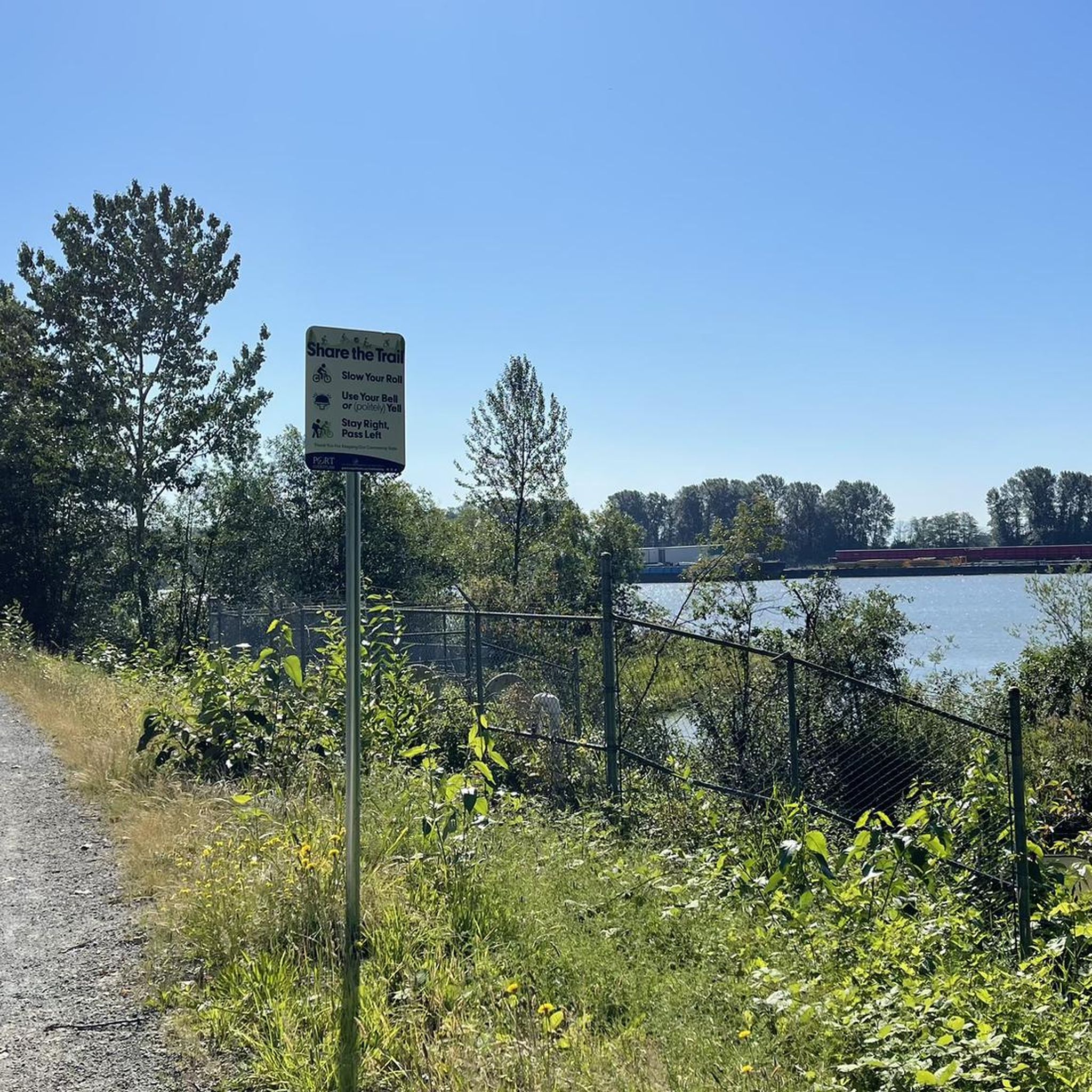
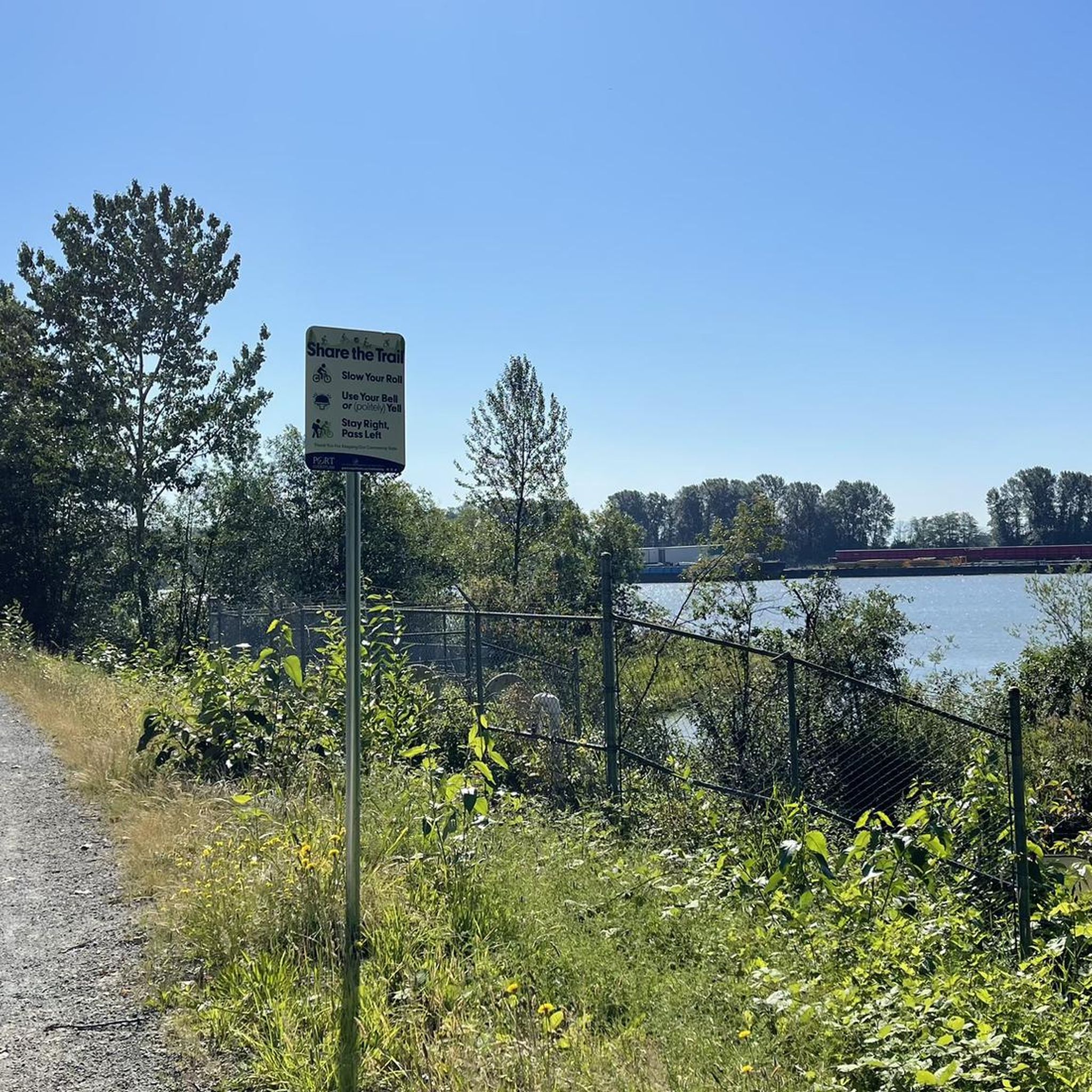
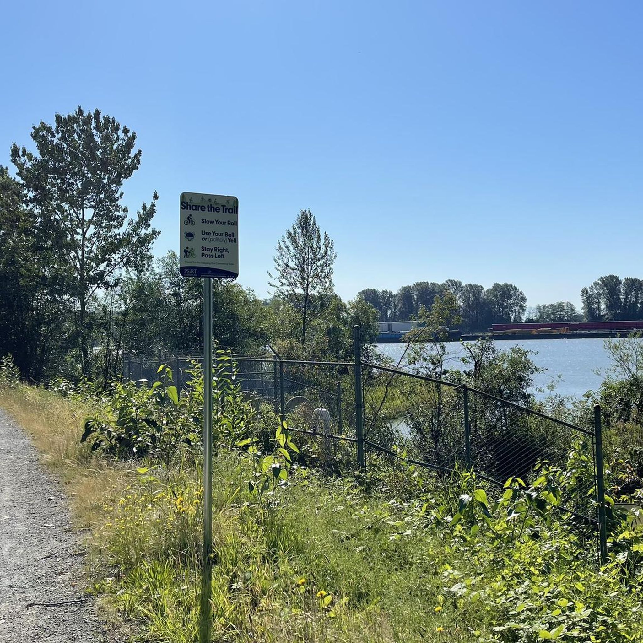
The view opens onto a slow, meandering river cutting through wide-open farmland — a mix of grassy fields, wetland patches, and hedgerows rather than dense forest crowding the banks.
0
0
This brigde was built through community fundraising efforts led by the Colony Farm Park Association, working in partnership with Metro Vancouver, to give walkers and cyclists a direct river crossing within the park's trail network. It serves as a key junction point: crossing it lets visitors extend a walk into a longer loop, linking the western side of the park near the Community Gardens to the eastern Wilson Farm area, rather than backtracking the way they came.
0
0
At this southern spot near Pitt River Road, the Coquitlam River opens up and slows down. The water here is wider and calmer than the fast-moving sections further upstream.
0
0
The park is very practical for visitors because it has clean public washrooms and a large, free parking lot. You can pack a lunch to enjoy at one of the many shaded picnic tables or check out the local food trucks that often park nearby.
0
0

This paved, multi-use trail traces thee edges of Tynehead Regional Park in a four kilometer loop. You'll find interpretive signage placed along the loop as you make your way around.
0
0

Surrey Bend Regional Park is a large floodplain landscape shaped by the natural ebb and flow of the Fraser River. Unlike many riverfront areas, this section remains undyked, allowing tidal cycles and seasonal flooding to shape the wetlands, marshes, and forest you walk through.
0
0

This beautiful river is a major tributary of the Fraser River that flows south from the Garibaldi Ranges, through Pitt Lake, before joining the Fraser River near Port Coquitlam. The lower stretches of the river are tidal, and the surrounding wetlands are home to a rich diversity of wildlife. The river also holds cultural significance for the Kwantlen First Nation, serving as a natural corridor that connects the coastal region with the interior of the province.
0
0

Dedicated in 2019 by the City of Port Coquitlam in recognition of Michael Forrest's contributions to the community and his service on City Council from 2000 to 2018 A third generation Fort Coquitlam resident, Michael has "cherished this view of the Fraser River his whole life, The rivers that were his playground as a child became his workplace as an -lt. Michael continues to be active in the community and can be seen regularly on the water,
0
0
Frequently Asked Questions
How many jogging routes are available in Surrey Bend Regional Park?
Surrey Bend Regional Park offers a wide selection of running routes, with nearly 90 different options available. These range from easy strolls to more challenging runs, catering to various fitness levels.
Are there easy running routes suitable for beginners or families?
Yes, the park features several easy running routes perfect for beginners or families. An excellent option is the Running loop from Guildford, an easy 3.9 km path ideal for a quick and accessible run through the parkland.
Are there more challenging running trails for experienced runners?
For those seeking a longer or more challenging run, Surrey Bend Regional Park has several moderate options. Consider the Running loop from Surrey Bend Regional Park, which covers 10.7 km, or the Michael Forrest River Walkway loop from Douglas Island, a 13.9 km route that offers a good workout.
Can I bring my dog on the jogging trails in Surrey Bend Regional Park?
Surrey Bend Regional Park is generally dog-friendly, but it's important to keep your dog on a leash at all times and adhere to park regulations regarding pet waste. Always check specific trail signage for any restrictions.
Are there circular running routes available in the park?
Yes, many of the running paths in Surrey Bend Regional Park are designed as loops, offering convenient circular routes. Popular options include the Running loop from Surrey Bend Regional Park and the Serpentine River loop from Fleetwood—Port Kells.
What are the typical lengths of running trails in Surrey Bend Regional Park?
The running trails in Surrey Bend Regional Park vary in length. You can find shorter routes like the 3.9 km Running loop from Guildford, as well as longer options such as the 12 km Pitt River Viewpoint loop from Douglas Island or the 13.9 km Michael Forrest River Walkway loop from Douglas Island.
Is there parking available at Surrey Bend Regional Park for runners?
Yes, Surrey Bend Regional Park provides designated parking areas for visitors. These are typically located near the main entrances and trailheads, offering convenient access to the running routes.
How can I get to Surrey Bend Regional Park using public transport?
While public transport options might not drop you directly at every trailhead, TransLink serves the Surrey area. You can plan your journey to the park's vicinity using their route planner, though some walking or a short taxi ride might be required to reach specific starting points.
What is the best time of year to go jogging in Surrey Bend Regional Park?
Spring and fall are generally ideal for jogging in Surrey Bend Regional Park, offering mild temperatures and beautiful scenery. Summer mornings and evenings are also pleasant, while winter can be suitable depending on conditions, as the paths are mostly flat.
What are the winter jogging conditions like in Surrey Bend Regional Park?
Winter jogging in Surrey Bend Regional Park is often possible due to the generally flat terrain. However, trails can become wet, muddy, or occasionally icy after rain or snowfall. It's advisable to wear appropriate footwear and check local weather conditions before heading out.
Are there any cafes or facilities near the running routes?
Surrey Bend Regional Park is primarily a natural area, so dedicated cafes directly on the trails are limited. However, there are usually washroom facilities available at key access points. For cafes and other amenities, you would typically need to venture a short distance outside the park into nearby communities.
Are there viewpoints along the running trails in Surrey Bend Regional Park?
Yes, several running routes offer scenic viewpoints, particularly those that follow the Fraser and Serpentine Rivers. The Pitt River Viewpoint loop from Douglas Island, for example, is specifically named for its river views.
What do other runners enjoy most about jogging in Surrey Bend Regional Park?
The running routes in Surrey Bend Regional Park are highly rated by the komoot community, with an average score of 4.6 stars from over 10 reviews. Runners often praise the park's flat, accessible terrain, the peaceful riverine landscapes, and the mix of forested and open parkland paths.
Most popular routes in Surrey Bend Regional Park

Get inspired with the komoot mobile app


Explore more
Browse the best Running Trails & Routes in other regions.
