The best running trails in Golden Ears Provincial Park
5.0
(6)
321
runners
11
runs
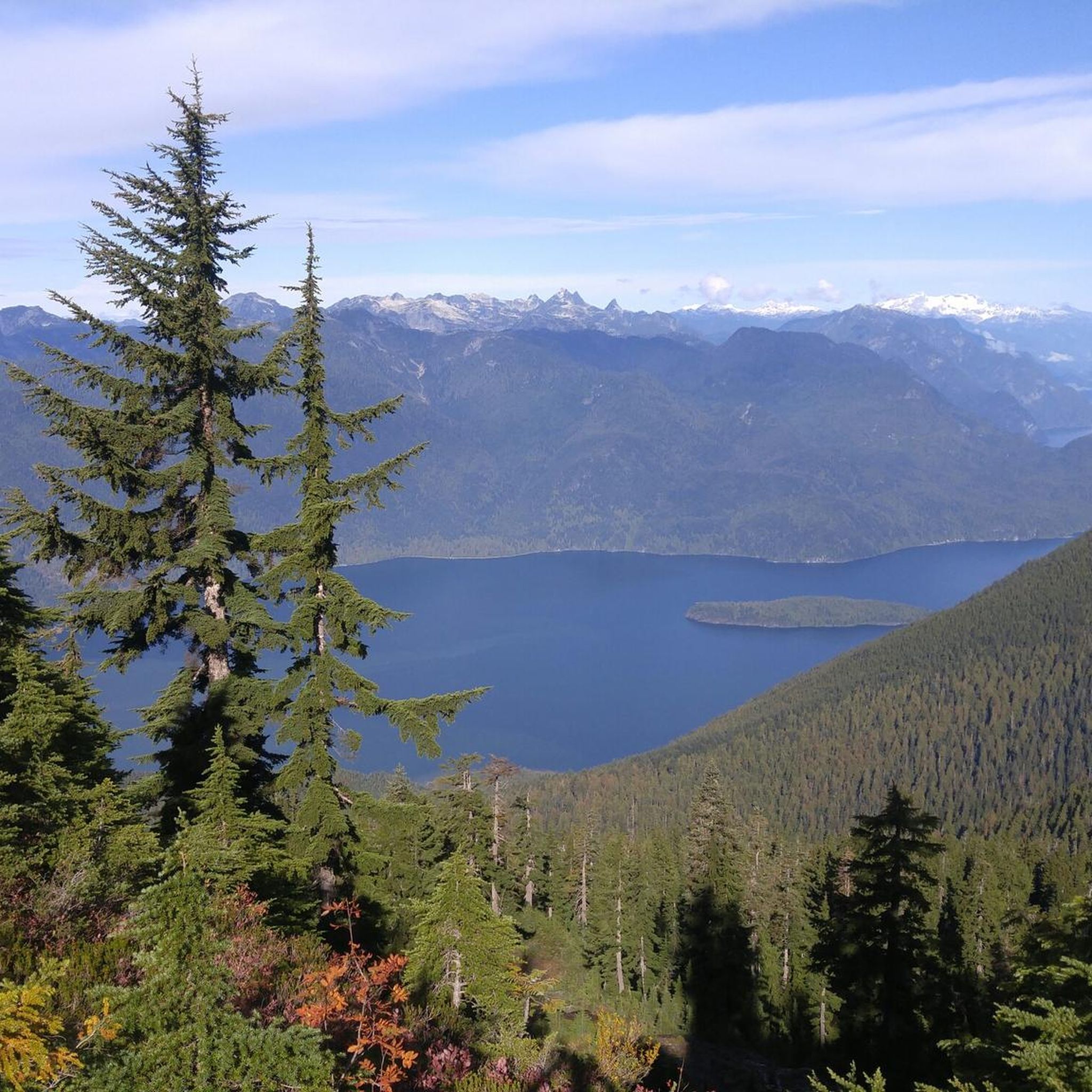
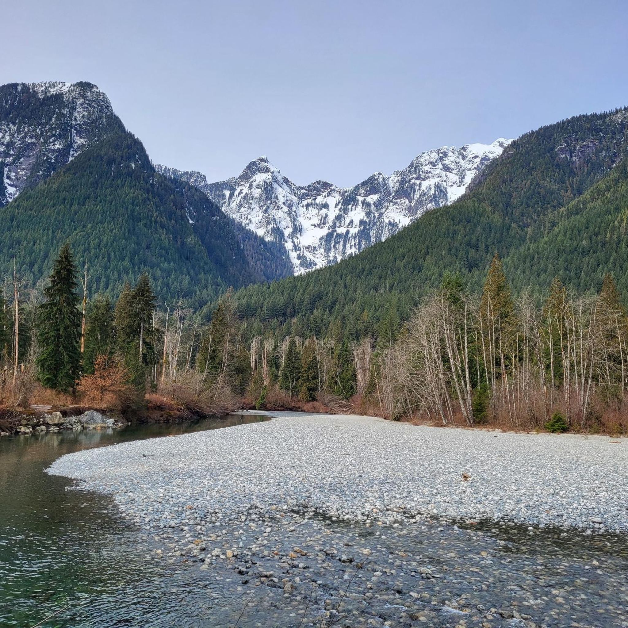
Jogging in Golden Ears Provincial Park offers a diverse wilderness experience within British Columbia's Coast Mountains. The region features majestic mountains, deep valleys, and Alouette Lake, providing varied terrain for runners. Trails wind through dense forests of ancient trees, past tranquil streams, and offer views of natural features like Gold Creek Falls. The park's extensive network includes paths ranging from accessible surfaces to rugged, rocky trails, catering to different preferences and fitness levels.
Best jogging routes in Golden Ears Provincial Park
- The most popular jogging route is Gold Creek – Gold Creek Lookout loop from Burke Mountain, a 7.1 miles (11.5 km) trail that takes 1 hour 31 minutes to complete. This route offers views of Gold Creek and the surrounding forest.
- Another top favourite among local runners is Donkey Spool loop from Burke Mountain, a difficult 8.0 miles (12.9 km) path. This trail navigates through varied forest terrain with notable elevation changes.
- Local runners also love the Running loop from Yennadon, a 6.6 miles (10.7 km) trail leading through dense woodlands, often completed in about 1 hour 23 minutes.
- Jogging in Golden Ears Provincial Park is defined by majestic mountains, dense forests, and the shores of Alouette Lake. The network offers options for different ability levels, from moderate paths to more challenging routes.
- The routes in Golden Ears Provincial Park are highly rated by the komoot community with an average score of 5.0 stars from more than 5 reviews. More than 280 runners have used komoot to explore Golden Ears Provincial Park's varied terrain.
Last updated: October 8, 2026
22
runners
11.5km
01:31
280m
290m
Moderate run. Good fitness required. Mostly paved surfaces. Suitable for all skill levels.
21
runners
Hard run. Very good fitness required. Sure-footedness, sturdy shoes and alpine experience required.

13
runners
10.7km
01:24
240m
240m
Moderate run. Good fitness required. Mostly paved surfaces. Suitable for all skill levels.
5.0
(1)
15
runners
22.8km
03:56
1,460m
1,460m
Hard run. Very good fitness required. Mostly paved surfaces. Suitable for all skill levels.
9
runners
15.4km
01:55
240m
240m
Hard run. Very good fitness required. Mostly paved surfaces. Suitable for all skill levels.
Get access to more routes and recommendations from other explorers.
Already have an account?
Our route recommendations are based on thousands of hikes, rides, and runs completed by other people on komoot.
Start today with a free account
Your next adventure awaits.
Popular around Golden Ears Provincial Park

Tips from the Community

The Loop Trail connects the Menzies and Alouette Trails, making a quick loop in Golden Ears Provincial Park. Though not particularly steep it should be noted that head in a clockwise direction will take you downhill, while counter-clockwise is uphill.
0
0
This beautiful waterfall is tucked away along a trail of the same name. You can do a short out and back hike if you only want to see the falls, or you can combine the Menzies Trail with others in the park for a longer loop hike.
0
0

While most park trails are steep and rugged, this one is remarkably flat and wide because it follows an old 1920s railway grade once used for logging.
0
0
Frequently Asked Questions
How many running trails are available in Golden Ears Provincial Park?
Golden Ears Provincial Park offers an extensive network of over 150 km of trails, with more than 30 routes specifically curated for jogging on komoot. These range from easy paths to challenging alpine hikes, catering to all abilities.
Are there any easy or beginner-friendly jogging routes in the park?
Yes, the park features several accessible paths suitable for beginners. For instance, the Lower Gold Creek Falls Trail is an easy, almost flat path through old-growth forest. Some trails, like the Spirea Universal Access Trail, are even wheelchair-accessible, offering opportunities for everyone to enjoy the park's natural beauty.
What kind of terrain can I expect on the jogging trails?
You'll find a diverse range of terrain. Joggers can choose between accessible paved surfaces, gravel and dirt trails, and more rugged, rocky paths. Some sections, like parts of the Golden Ears Trail, follow old logging roads, providing varied experiences for different preferences and fitness levels.
Are there any circular running routes in Golden Ears Provincial Park?
Yes, there are several excellent loop options for runners. A popular choice is the Gold Creek – Gold Creek Lookout loop from Burke Mountain, which is about 11.5 km long and offers scenic views of Gold Creek.
Can I bring my dog on the running trails?
Golden Ears Provincial Park is generally dog-friendly, but specific rules regarding leashes and designated areas may apply. It's always best to check the park's official regulations before heading out with your canine companion to ensure a pleasant experience for everyone.
Are there any trails suitable for families or running with kids?
Absolutely. The park offers trails that are suitable for families. Easy, mostly flat paths like the Lower Gold Creek Falls Trail are ideal for running with children, providing a gentle introduction to the park's natural beauty without significant challenges.
What are some notable natural features or viewpoints I might see while running?
The park is rich in stunning natural features. You can expect to see majestic mountains, deep valleys, and crystal-clear lakes. Popular routes often include breathtaking scenery, such as the impressive Gold Creek Falls, the picturesque Alouette Lake, and lush old-growth forests with towering ancient trees. For panoramic views, the Golden Ears Peak offers alpine meadows and expansive vistas.
Is there parking available at the trailheads?
Yes, Golden Ears Provincial Park provides various parking facilities, including the West Canyon parking lot, which serves as a starting point for several trails. It's advisable to arrive early, especially during peak seasons, as parking can fill up quickly.
What do other runners enjoy most about jogging in Golden Ears Provincial Park?
The area is highly rated by the komoot community, with an average score of 5.0 stars from more than 5 reviews. Runners often praise the diverse wilderness experience, the variety of terrain, and the stunning natural beauty, including the majestic mountains and tranquil streams.
Are there any challenging running routes for experienced runners?
Yes, for those seeking a challenge, the park offers more difficult routes with significant elevation changes. The Donkey Spool loop from Burke Mountain is an 8.0-mile (12.9 km) path that navigates through varied forest terrain with notable elevation gains, making it a favorite among experienced runners.
When is the best time of year to go running in Golden Ears Provincial Park?
The park is enjoyable year-round, but conditions vary seasonally. Spring and fall offer pleasant temperatures and vibrant scenery. Summer is popular but can be warm, while winter running is possible, though some higher elevation trails may be affected by snow and ice. Always check current trail conditions before your visit.
Are there any specific permits or fees required to access the park for jogging?
Golden Ears Provincial Park is a provincial park, and while general access for day use typically doesn't require a fee, it's always recommended to check the official BC Parks website for any current regulations, day-use passes, or parking fees that might be in effect, especially during peak seasons.
Most popular routes in Golden Ears Provincial Park

Get inspired with the komoot mobile app


Explore more
Browse the best Running Trails & Routes in other regions.
