The best walks and hikes in Reserva Natural Sierra De Las Cabras
4.7
(46)
541
hikers
17
hikes
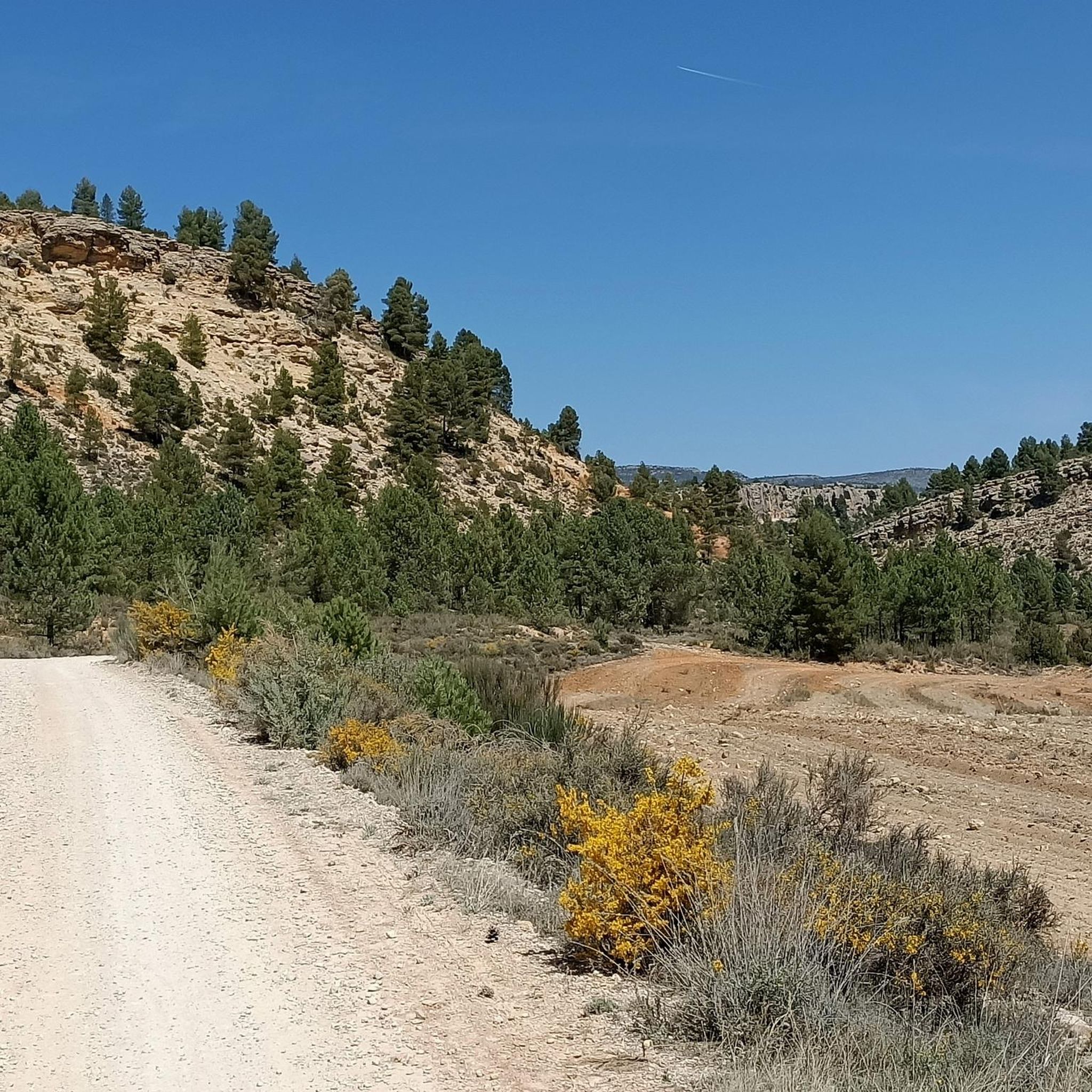
Hiking in Reserva Natural Sierra De Las Cabras offers diverse landscapes characterized by Jurassic dolomitic limestone formations, karren fields, and impressive vertical walls. The terrain includes prominent peaks such as La Atalaya (2,083 m) and Pico de Las Cabras (2,080 m), providing expansive panoramic views. Varied flora, including juniper stands, holm oaks, and maples, covers the slopes, while lower areas feature esparto, gorse, and rosemary. The region's geology reveals the evolution of the Betic mountain ranges, with abundant fossils found…
Last updated: October 12, 2026
5.0
(1)
12
hikers
Moderate hike. Good fitness required. Easily-accessible paths. Suitable for all skill levels.
5.0
(3)
19
hikers
6.31km
03:03
510m
510m
Moderate hike. Good fitness required. Mostly accessible paths. Sure-footedness required.

4.8
(13)
127
hikers
8.32km
02:19
160m
160m
Moderate hike. Good fitness required. Easily-accessible paths. Suitable for all skill levels.
4.7
(9)
110
hikers
9.04km
02:33
200m
190m
Hike the moderate Ruta del Zarzalar Loop, a 5.6-mile trail in Nerpio offering diverse terrain and stunning canyon views along the Taibilla R
5.0
(3)
31
hikers
6.50km
01:49
120m
120m
Easy hike. Great for any fitness level. Easily-accessible paths. Suitable for all skill levels.
Get access to more routes and recommendations from other explorers.
Already have an account?
Our route recommendations are based on thousands of hikes, rides, and runs completed by other people on komoot.
Start today with a free account
Your next adventure awaits.



Tips from the Community

The Pico de los Obispos rises above a landscape of mountain ranges, pine forests, and deep valleys in the interior of Murcia. From its summit, the breadth of the views and the feeling of isolation make this mountain corner a magnificent natural viewpoint of the southeastern peninsula.
3
0

Peak that gives its name to the Revolcadores Massif (or Sierra Seca) and which, at 1,999 m, is the second highest in the Region of Murcia behind Obispo (2,014 m), located in the same massif.
0
0
Esplanade next to Revolcadores peak (1,999 m) perfect for bivouacking.
0
0

Pico Calderón (2071 m) is the third highest mountain in the Sierra de las Cabras and therefore also in the province of Albacete.
1
0
La Atalaya (2,083 m) is the highest mountain in the Sierra de las Cabras and also the highest mountain in the province of Albacete.
1
0
The second highest mountain in the Sierra de las Cabras and therefore also the second highest mountain in the province of Albacete.
1
0


Frequently Asked Questions
How many hiking trails are available in Reserva Natural Sierra De Las Cabras?
Reserva Natural Sierra De Las Cabras offers a diverse range of hiking opportunities with over 15 trails to explore. These routes cater to various fitness levels, from moderate paths to more demanding ascents.
What are the typical terrain and difficulty levels of hikes in the reserve?
The reserve features diverse terrain, from goat paths used by shepherds to rugged, high-altitude landscapes. You'll find paths suitable for various fitness levels, including 2 easy routes, 13 moderate routes, and 2 difficult routes. Some demanding trails may require good fitness, sure-footedness, sturdy shoes, and even alpine experience.
Are there any family-friendly hiking options in Reserva Natural Sierra De Las Cabras?
Yes, there are shorter, more accessible options available. For example, the Ruta del Zarzalar Loop is a moderate 5.6-mile (9.0 km) trail that leads through varied vegetation and lower slopes, often completed in about 2 hours 33 minutes, making it a good choice for families.
What kind of natural features or viewpoints can I expect to see?
The reserve is rich in natural features. You can expect to see prominent peaks like La Atalaya (2,083 m) and Pico de Las Cabras (2,080 m), which offer expansive panoramic views. The landscape is also characterized by unique Jurassic dolomitic limestone formations, including karren fields, dolines, and impressive vertical walls.
Are there any circular hiking routes available in the reserve?
Yes, many of the trails in Reserva Natural Sierra De Las Cabras are circular. Popular examples include the challenging La Atalaya (2,083 m) – Pico de las Cabras (2,080 m) loop and the Pico de los Obispos – Revolcadores Peak loop, both offering extensive views and high-altitude exploration.
What wildlife might I encounter while hiking in Reserva Natural Sierra De Las Cabras?
The Sierra de las Cabras is a haven for wildlife, especially raptors and cliff-dwelling birds such as griffon vultures, golden eagles, and peregrine falcons. You might also spot the elusive Iberian ibex in inaccessible crags, particularly in the early morning. Lower areas are home to wild boar, foxes, and badgers.
When is the best time of year to hike in Reserva Natural Sierra De Las Cabras?
The reserve offers beauty year-round, but for botanical enthusiasts, March and April are particularly rewarding as the lower slopes become fragrant with blooming rosemary. The varied flora, including juniper stands and holm oaks, provides interest across seasons, though higher elevations may be more challenging in winter.
What makes the geology of Reserva Natural Sierra De Las Cabras unique?
The geology of the Sierra De Las Cabras is remarkable, allowing visitors to observe the evolution of the Betic mountain ranges from the Mesozoic era. The landscape is dominated by Jurassic dolomitic limestone, forming spectacular shapes like karren fields, dolines, and impressive vertical walls. You can also find abundant fossils, including remnants of plants and animals like sea urchins and belemnites.
Are there any specific plants or flowers to look out for?
The reserve boasts significant botanical wealth. You'll find juniper stands, low-profile holm oaks, Portuguese oaks, and mixed formations with maples on shaded slopes. Sun-facing hillsides are covered in esparto, gorse, and rosemary. In March and April, the blooming rosemary creates a fragrant experience. The area hosts at least 36 species of plants listed in the Regional Catalogue of Threatened Species.
How can I access the trailheads, and is parking available?
While specific parking information for each trailhead varies, many routes, such as the La Atalaya – Pico de las Cabras loop, often start from accessible points like Fuente de la Carrasca. For the Pico de los Obispos – Revolcadores Peak loop, access is typically from Puerto Hondo. It's advisable to check the specific tour details on komoot for precise starting points and potential parking information.
What do other hikers say about their experience in Reserva Natural Sierra De Las Cabras?
The hiking routes in Reserva Natural Sierra De Las Cabras are highly rated by the komoot community, with an average score of 4.6 stars from more than 35 reviews. Hikers often praise the varied terrain, the prominent peaks, and the unique dolomitic limestone formations that define the area's natural beauty.
Are there any longer, more challenging hikes for experienced hikers?
Yes, the reserve offers routes that require good fitness and experience. For instance, the Hostal Restaurante Taibilla – Plantón del Covacho loop is a longer, moderate 9.7-mile (15.6 km) trail with significant elevation changes, providing a more extended challenge. Other high-altitude loops also demand sure-footedness and sturdy shoes.
Most popular routes in Reserva Natural Sierra De Las Cabras

Get inspired with the komoot mobile app


Explore more
Browse the best Hikes in other regions.
