The best MTB trails around Holstenniendorf
4.8
(370)
100
riders
38
rides
Mountain bike trails around Holstenniendorf are characterized by a flat to gently rolling landscape, often following the banks of the Kiel Canal. The region features open fields, small wooded sections, and routes that connect various bridges and ferry crossings. Elevation changes are minimal, making many trails accessible for a relaxed ride.
Best mountain bike trails around Holstenniendorf
- The most popular mountain bike trail is Hohenhörn High Bridge – Grünental High Bridge loop from Schafstedt, an 18.4 miles (29.6 km)…
Last updated: July 1, 2026
11
riders
Easy mountain bike ride. Great for any fitness level. Suitable for all skill levels.
4.8
(10)
16
riders
32.2km
01:40
100m
100m
Easy mountain bike ride. Great for any fitness level. Suitable for all skill levels.

Sign up for free
5.0
(2)
4
riders
Easy mountain bike ride. Great for any fitness level. Suitable for all skill levels.
2
riders
44.0km
02:21
80m
80m
Moderate mountain bike ride. Good fitness required. Suitable for all skill levels.
5.0
(1)
2
riders
52.5km
02:53
230m
230m
Moderate mountain bike ride. Good fitness required. Advanced riding skills necessary.
Get access to more routes and recommendations from other explorers.
Sign up for free
Already have an account?
Our route recommendations are based on thousands of hikes, rides, and runs completed by other people on komoot.
Start today with a free account
Your next adventure awaits.
Login or Signup
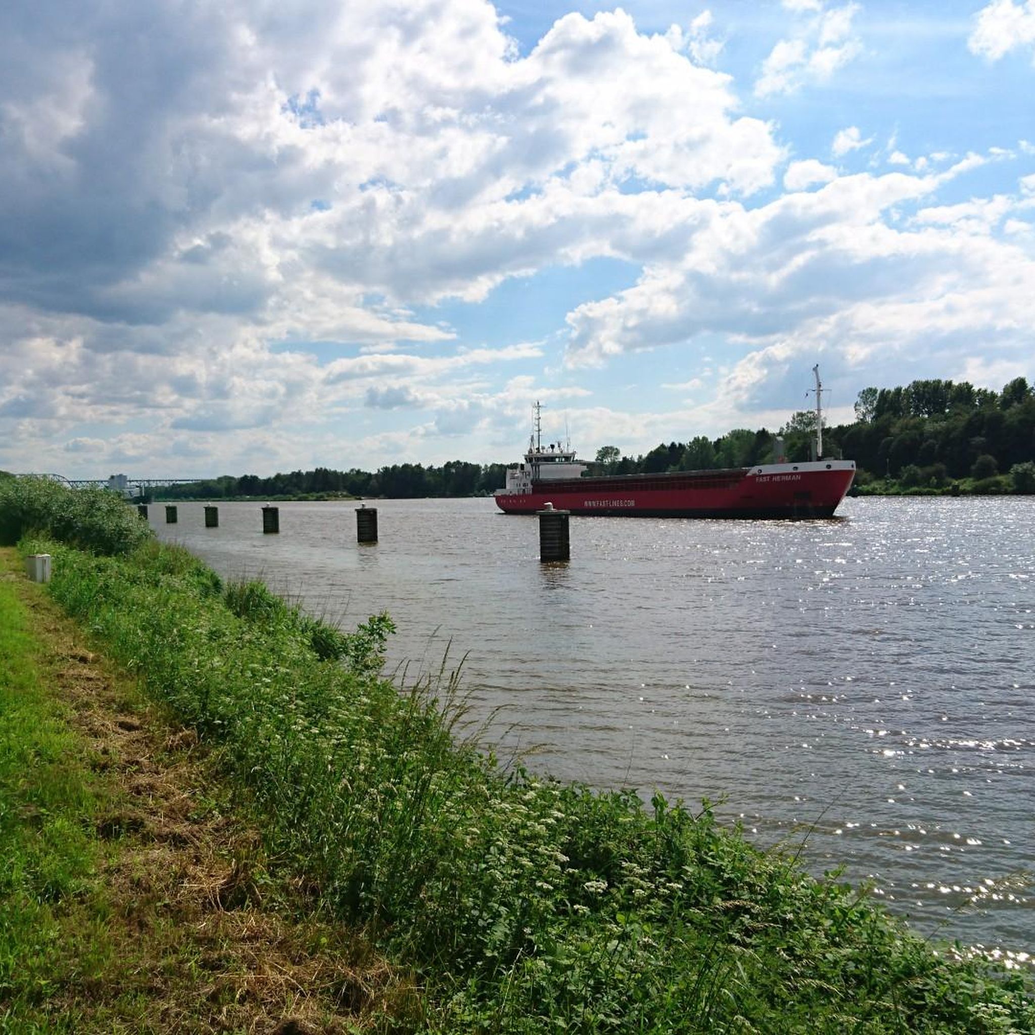
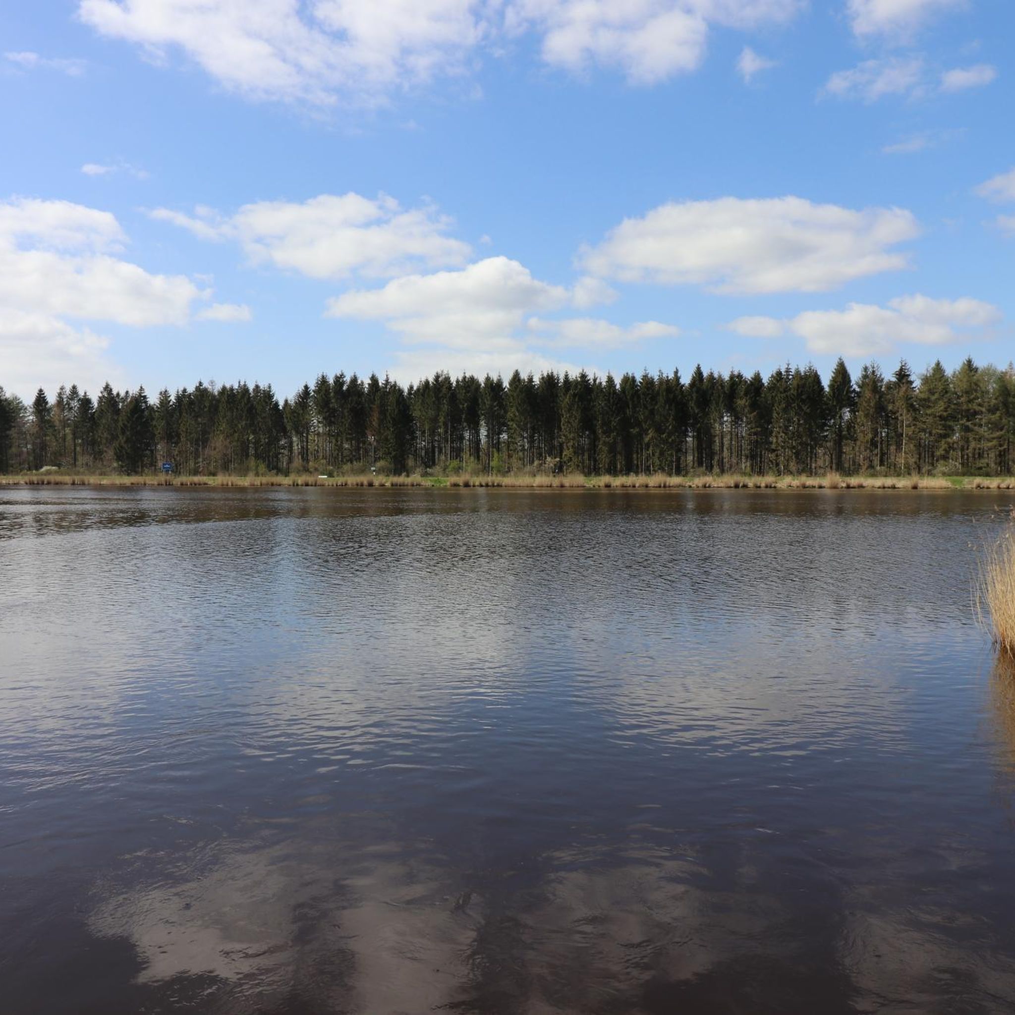
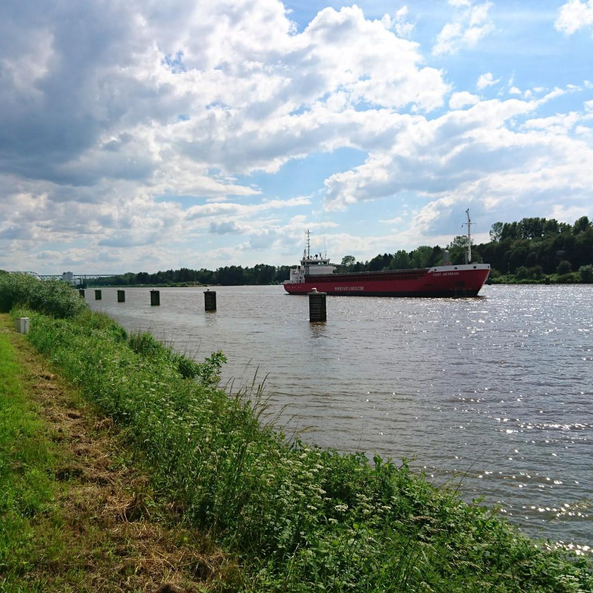
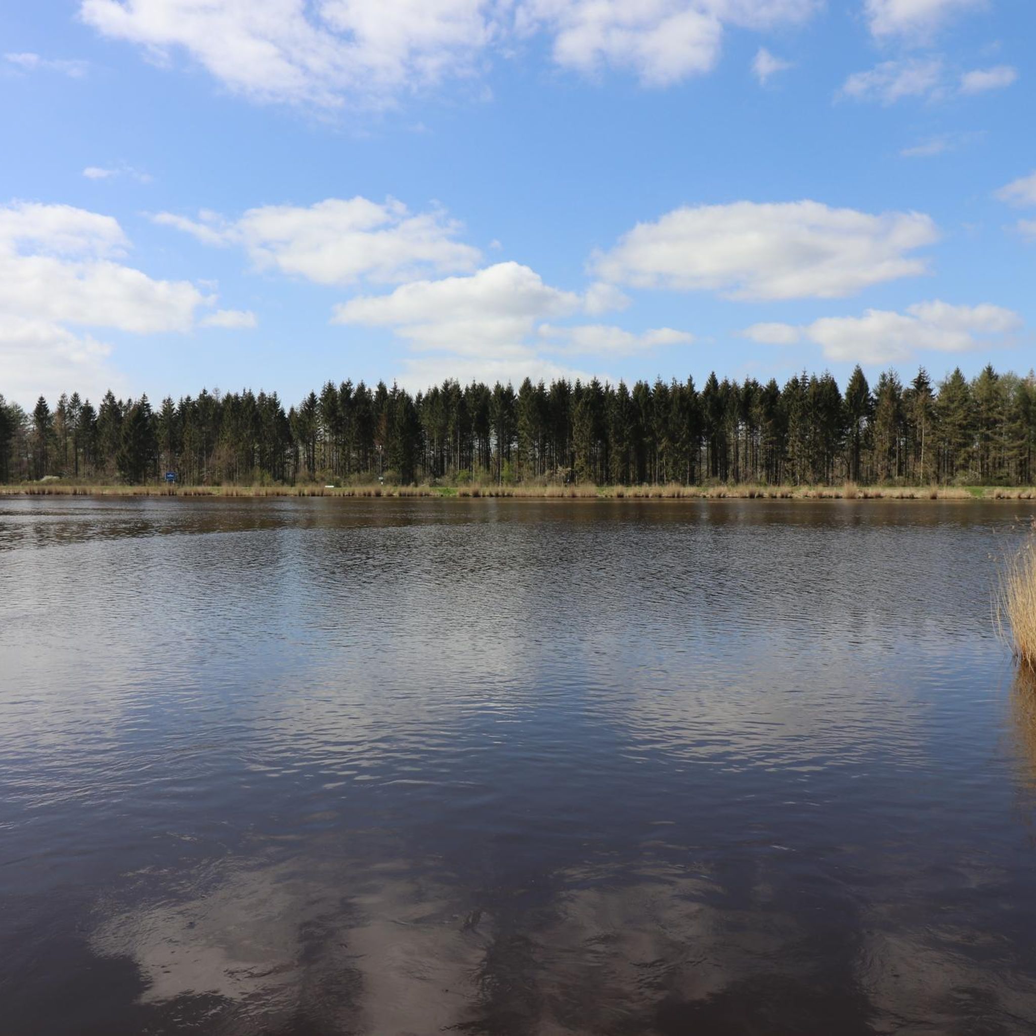
Tips from the Community

I always like to stop here and linger a while and listen to the flowing Gieselau 🙂🌼🌳🐬
0
0

A truly cozy spot steeped in history. There are even grills available.
0
0


Nobody can deny you a little break 🙋
0
0

During the construction of the Kiel Canal (NOK), a connection between the Kiel Canal and the Eider River was created in Rendsburg. However, because the lock increasingly hindered road traffic in Rendsburg, an alternative lock was built further west in 1937: The Gieselau Lock. Since then, this lock has connected the Eider River with the Kiel Canal in the Gieselau Valley, south of Prinzenmoor. The Gieselau Canal is only navigable during the summer months.
5
0
Who doesn't like @Dani's post here and why (?) is not clear to me 🤔
5
0
Road traffic, and thus also the hiking trail, is routed through the truly picturesque Giselau Lock. Visitors rattle along wooden planks. The canal is beautifully situated and runs through a rather quiet, rural area.
5
0
The Gieselau Canal has connected the Eider River with the Kiel Canal (NOK) since 1937. The approximately 2 km long canal serves primarily as a link between the two waterways for recreational boating. This requires a lock to balance water levels and currents.
5
0
Frequently Asked Questions
What is the general difficulty level of mountain bike trails in Holstenniendorf?
The mountain bike trails around Holstenniendorf are predominantly easy to moderate. There are 18 easy routes and 22 moderate routes available, with no difficult trails. This makes the area suitable for a wide range of riders, from beginners to those looking for longer, relaxed rides.
Are there mountain bike trails suitable for beginners in Holstenniendorf?
Yes, Holstenniendorf offers 18 easy mountain bike trails, perfect for beginners or those seeking a relaxed ride. The landscape is generally flat to gently rolling, with minimal elevation changes, making it very accessible. An example of an easy route is the Hohenhörn High Bridge – Grünental High Bridge loop from Schafstedt.
Are there challenging mountain bike routes for advanced riders in Holstenniendorf?
The trails in Holstenniendorf are generally not designed for advanced riders seeking significant technical challenges or steep climbs. The region features a flat to gently rolling landscape. While there are 22 moderate routes, there are no trails classified as difficult. Riders looking for more intense elevation might find the area less demanding.
How long do mountain bike trails in Holstenniendorf typically take to complete?
Trail durations vary, but many popular routes range from 1.5 to 3 hours. For instance, the Hohenhörn High Bridge – Grünental High Bridge loop from Hochdonn typically takes around 1 hour 40 minutes, while the Ostermoor Ferry (Kiel Canal) – Brunsbüttel Ferry loop from Burg (Dithmarschen) is often completed in about 2 hours 6 minutes.
Are there family-friendly mountain bike trails in Holstenniendorf?
Absolutely. Given the flat to gently rolling terrain and the abundance of easy trails, many routes in Holstenniendorf are ideal for families. The canal-side paths are particularly suitable for a relaxed outing with children. Consider routes that avoid major road crossings for added safety.
What natural attractions can I explore along the mountain bike trails in Holstenniendorf?
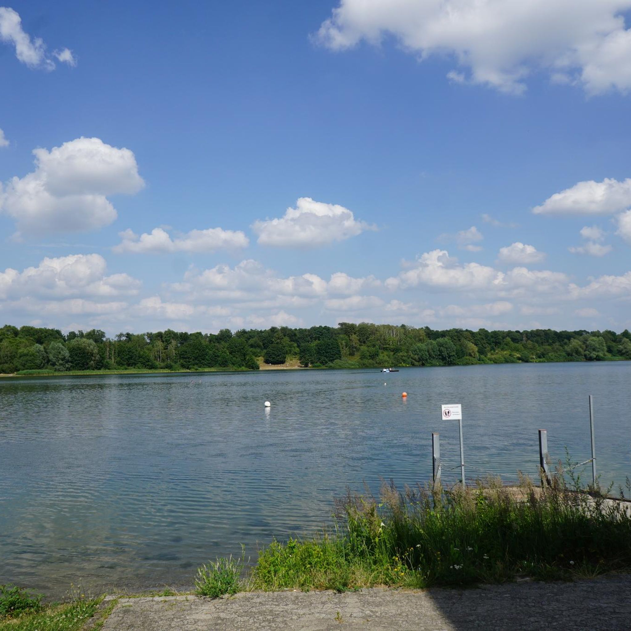
The trails often pass by various natural highlights. You can explore areas like the Muldsberg Clay Pit Lake, the Kudensee Nature Reserve, or the Herrenmoor Nature Reserve near Kleve. Many routes also follow the scenic Kiel Canal.
Are there any historical or cultural points of interest near the mountain bike trails?
Yes, you can encounter interesting sites such as the Lowest Point in Germany, which is a unique geographical feature. Additionally, the Dellbrücker Chamber Megalithic Tomb offers a glimpse into ancient history along some routes.
What is the best time of year for mountain biking in Holstenniendorf?
Spring, summer, and early autumn are generally the best times for mountain biking in Holstenniendorf. The weather is typically milder, and the trails are dry. During these seasons, you can fully enjoy the open fields and canal-side views. Always check local weather forecasts before heading out.
Can I go mountain biking in Holstenniendorf during winter?
Mountain biking is possible in winter, but conditions can be challenging. Trails may be muddy, icy, or covered in snow, especially in wooded sections. It's advisable to use appropriate tires and gear, and to check trail conditions beforehand. Shorter, well-maintained routes along the canal might be more accessible.
Are there circular mountain bike routes around Holstenniendorf?
Yes, many mountain bike routes in Holstenniendorf are designed as loops, allowing you to start and end at the same point. Examples include the Hohenhörn High Bridge – Fisher's Hut Ferry loop from Dückerswisch and the Hohenhörn High Bridge – Kanal 33 Café & Beer Garden loop from Eggstedt.
What do other mountain bikers say about the trails in Holstenniendorf?
The mountain bike routes in Holstenniendorf are highly rated by the komoot community, with an average score of 4.7 stars from over 340 reviews. Riders often praise the scenic canal-side paths, the peaceful agricultural landscapes, and the well-maintained trails that connect various bridges and ferries.
How many mountain bike trails are available in Holstenniendorf?
There are 40 mountain bike trails available in Holstenniendorf, offering a variety of options for different preferences and skill levels. These include 18 easy routes and 22 moderate routes.
Most popular routes around Holstenniendorf
Most popular attractions around Holstenniendorf

Get inspired with the komoot mobile app


Explore more
Browse the best MTB trails in other regions.
