The best walks and hikes around Hollenthon
4.6
(1627)
7,654
hikers
327
hikes
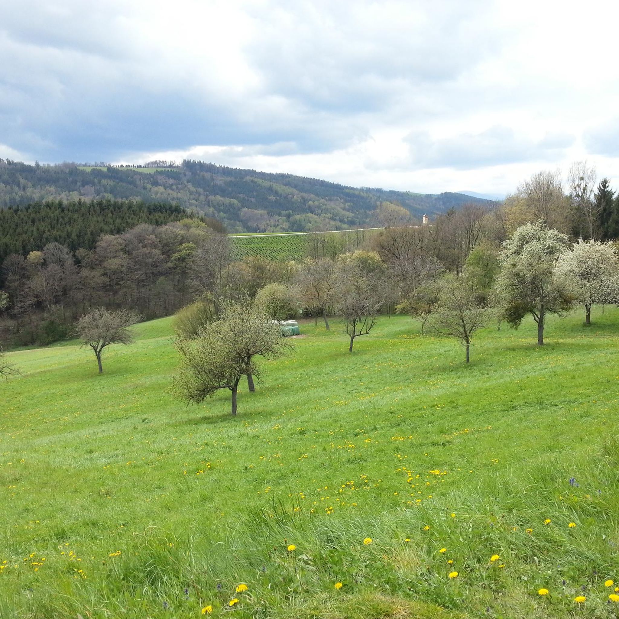
Hiking around Hollenthon offers access to the varied topography of the Bucklige Welt region in Austria. The area is characterized by its rolling hills and diverse natural landscapes, providing a range of trails. The landscape transitions between wooded hills and open meadows, creating dynamic hiking experiences. This region is known for its undulating terrain, making it suitable for different fitness levels.
Best hiking trails around Hollenthon
- The most popular hiking route is Ruins of Landsee Castle – Landsee Castle Ruins…
Last updated: August 11, 2026
4.9
(21)
46
hikers
Moderate hike. Good fitness required. Easily-accessible paths. Suitable for all skill levels.
3.7
(3)
21
hikers
Moderate hike. Good fitness required. Easily-accessible paths. Suitable for all skill levels.

Sign up for free
4.7
(3)
12
hikers
5.18km
01:27
100m
100m
Easy hike. Great for any fitness level. Easily-accessible paths. Suitable for all skill levels.
3.0
(1)
13
hikers
Moderate hike. Good fitness required. Easily-accessible paths. Suitable for all skill levels.
4.3
(3)
6
hikers
12.0km
03:26
290m
290m
Moderate hike. Good fitness required. Easily-accessible paths. Suitable for all skill levels.
Get access to more routes and recommendations from other explorers.
Sign up for free
Already have an account?
Our route recommendations are based on thousands of hikes, rides, and runs completed by other people on komoot.
Start today with a free account
Your next adventure awaits.
Login or Signup
Tips from the Community

The origin of the Landsee ruin cannot be determined at present, but it was first mentioned in the tradition book of the Göttweig Abbey in 1158. Children and parents can still recognize the imposing fortification in this castle ruin today.
0
0

The Landseer Berge Nature Park is a cross-border protected area that stretches across the western part of Central Burgenland and the adjacent Bucklige Welt in Lower Austria. The 6,500 hectares of hilly, beautiful forest landscape offer great opportunities for hiking.
1
0

On the way to the Lánzséri castle, a cute little resting place is the church and the bus stop. The view is very nice.
0
0

In the middle of the forest stands the small chapel built in 1956 by the Handler-Wogohof couple
0
1

The Landsee castle ruins are one of the largest castle ruins in Central Europe. The castle was first mentioned in 1158 and was destroyed by fire around 1790. From a viewing platform you can enjoy a wonderful panoramic view over Central Burgenland, Lake Neusiedl and the Bucklige Welt. More about the story: https://de.wikipedia.org/wiki/Burgruine_Landsee
0
0

This largest fortification in Central Europe was built in the 12th century and served as an arsenal and protective castle for the population during the Turkish wars, but fell into disrepair after 1710. Visitation is subject to payment.
1
0

The castle originally dates back to the 13th century. After it burned down in the 18th century, it was never rebuilt.
5
0

Beautiful castle complex, which unfortunately can only be visited for an entrance fee. A small kiosk at the entrance offers refreshments.
0
0
Frequently Asked Questions
What kind of terrain can I expect when hiking in Hollenthon?
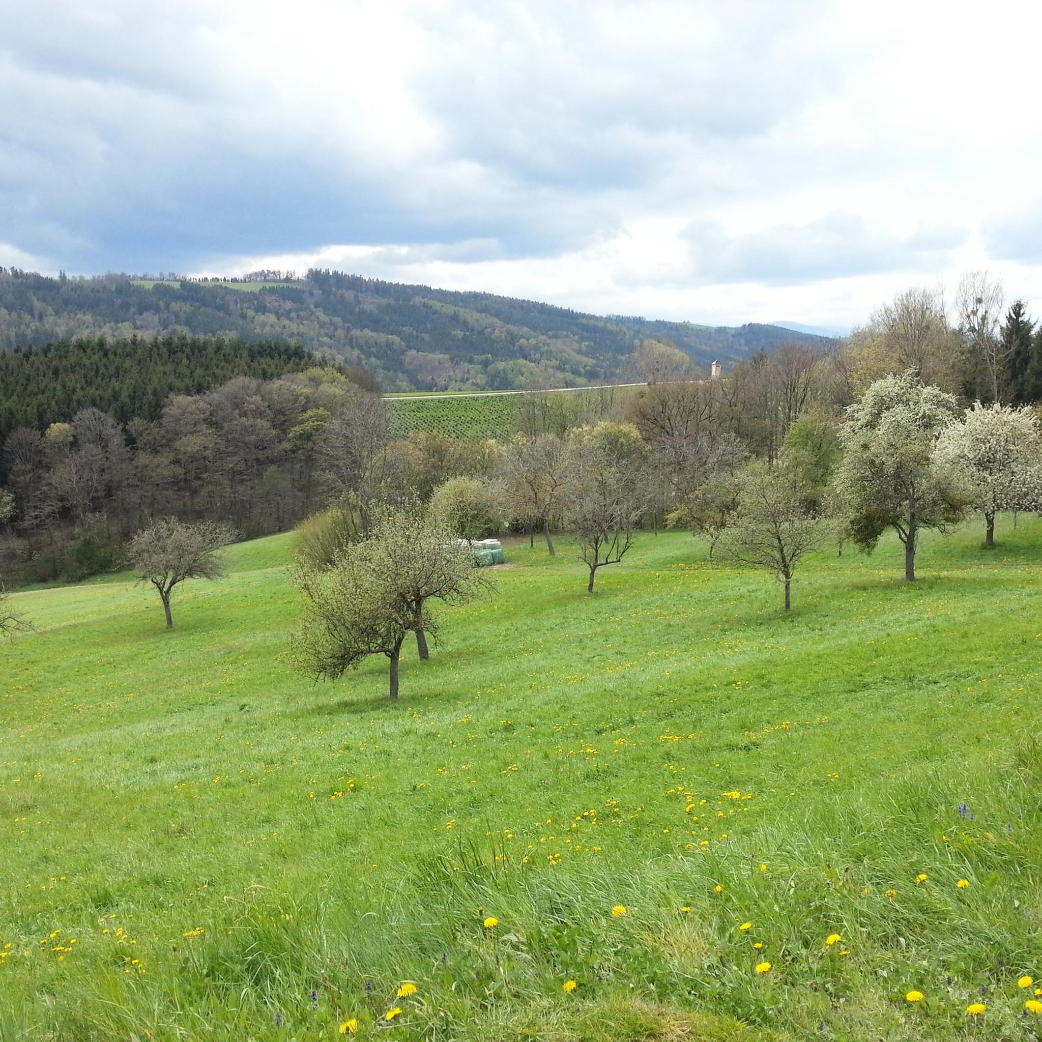
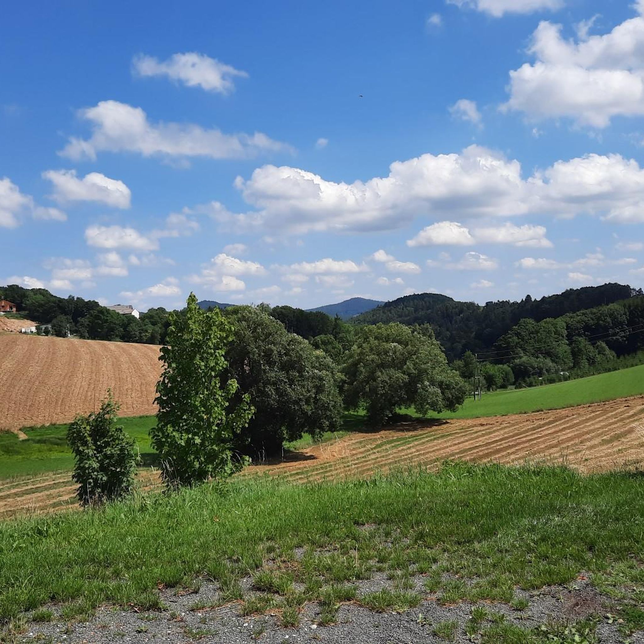
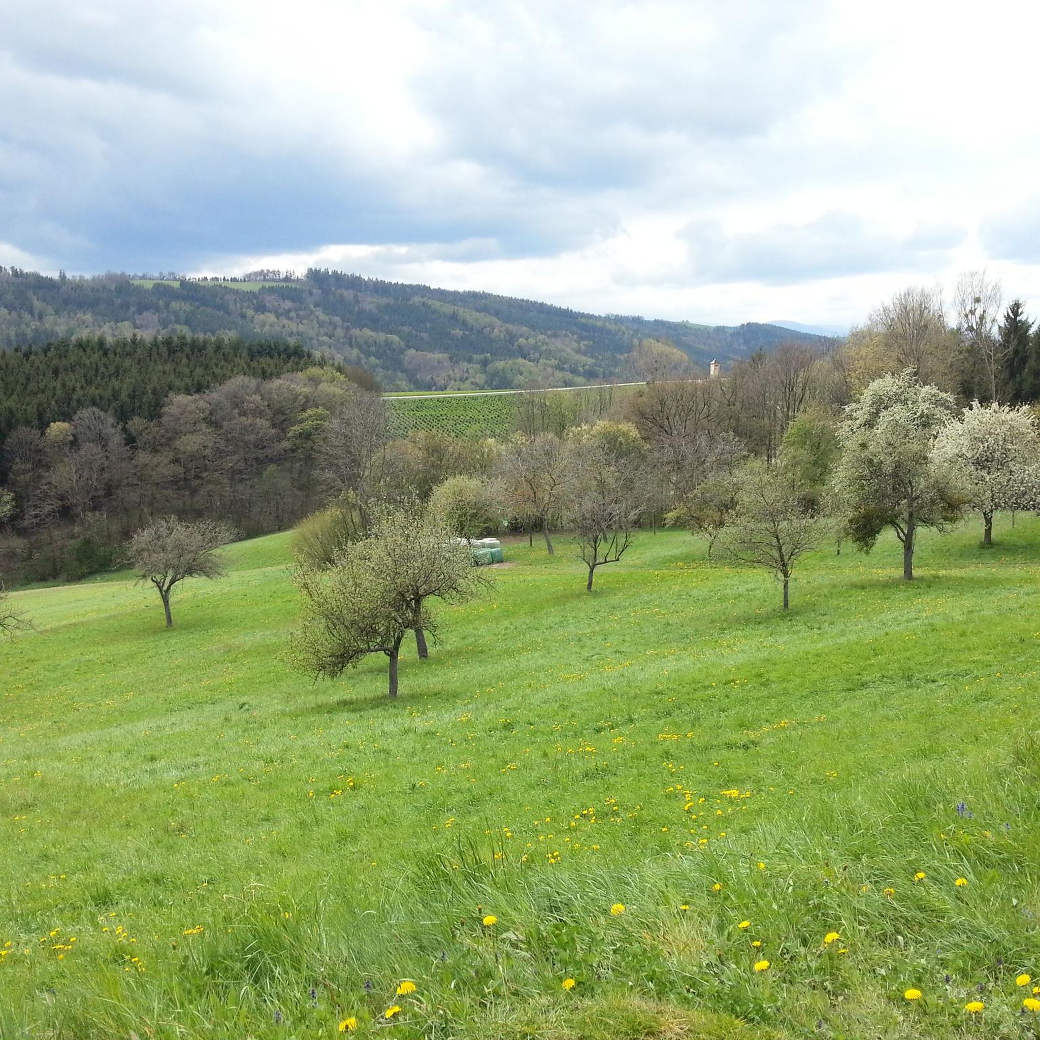
Hollenthon, located in the Bucklige Welt region, is characterized by its rolling hills and diverse natural landscapes. You'll find trails that transition from wooded areas to open meadows, offering varied and dynamic hiking experiences. The region's undulating topography provides options for different fitness levels.
How many hiking trails are available around Hollenthon?
There are over 330 hiking routes around Hollenthon, catering to a wide range of abilities. This includes over 120 easy trails, 180 moderate routes, and 25 more challenging excursions.
Are there any family-friendly hiking trails in Hollenthon?
Yes, Hollenthon offers several family-friendly options. The Wetterlehrpfad Hollenthon (Weather Trail) is an easy, approximately one-kilometer route designed to be engaging for all ages, featuring educational boards about meteorology. For a slightly longer, easy option, consider the View of Landsee Castle Ruins – Ruins of Landsee Castle loop from Burgruine Landsee, which is 3.2 miles (5.2 km) long.
What are the best options for circular hikes in the area?
Many routes around Hollenthon are circular, allowing you to start and end at the same point. A popular moderate circular hike is the Ruins of Landsee Castle – Landsee Castle Ruins loop from Naturpark Landseer Berge, which covers 6.5 miles (10.5 km). Another option is the Landsee Castle Ruins loop from Naturpark Landseer Berge, a 12 km moderate trail.
Are there any interesting landmarks or attractions to see while hiking?
Absolutely. The region is rich in historical sites. You can explore the Ruins of Landsee Castle, which is a prominent feature on several hiking routes. Other nearby castles and ruins include Türkensturz Ruins, Seebenstein Castle, and Grimmenstein Castle.
What do other hikers enjoy most about hiking in Hollenthon?
The hiking trails in Hollenthon are highly rated by the komoot community, with an average score of 4.6 stars from over 1400 reviews. Hikers often praise the varied terrain, the scenic rolling hills of the Bucklige Welt, and the well-maintained paths that offer experiences for all skill levels.
Are there any long-distance hiking trails accessible from Hollenthon?
Yes, Hollenthon provides access to sections of significant long-distance hiking routes. These include parts of the Eastern Austrian Border Trail (07) and the Eastern Zentralalpenweg (02). The Wiener Alpenbogen (WAB) trail also passes through the southern part of the Bucklige Welt, offering expansive views.
What is the best time of year to go hiking in Hollenthon?
Hollenthon is known as one of Austria's sunniest places, making it pleasant for hiking throughout much of the year. Spring and autumn offer mild temperatures and beautiful scenery, while summer provides longer daylight hours. Even in winter, some trails may be accessible, though conditions can vary.
Are dogs allowed on the hiking trails in Hollenthon?
Generally, dogs are welcome on hiking trails in Austria, including around Hollenthon. However, it's always recommended to keep dogs on a leash, especially in nature protection areas, near livestock, or in crowded sections, and to clean up after them. Specific regulations might apply to certain protected areas, so always check local signage.
Are there any routes that offer particularly expansive views?
Yes, the undulating topography of the Bucklige Welt region naturally lends itself to scenic viewpoints. The Landseer Berge Nature Park – Ruins of Landsee Castle loop from Naturpark Landseer Berge, a moderate 10.2 miles (16.5 km) path, is known for offering expansive views and varied terrain through the nature park. Additionally, a detour to a wind turbine with a viewing platform in Lichtenegg is suggested on some local routes.
Is there public transport available to reach hiking trailheads in Hollenthon?
While specific public transport connections directly to every trailhead can vary, Hollenthon is part of a regional network. It's advisable to check local bus schedules or regional transport options that connect to the village center or nearby points, from where many trails are accessible. Planning your route with komoot can help identify starting points that are easier to reach.
Most popular routes around Hollenthon
Most popular attractions around Hollenthon

Get inspired with the komoot mobile app


Explore more
Browse the best Hikes in other regions.
