The best walks and hikes in Grand Cul De Sac Marin
4.1
(252)
2,072
hikers
30
hikes
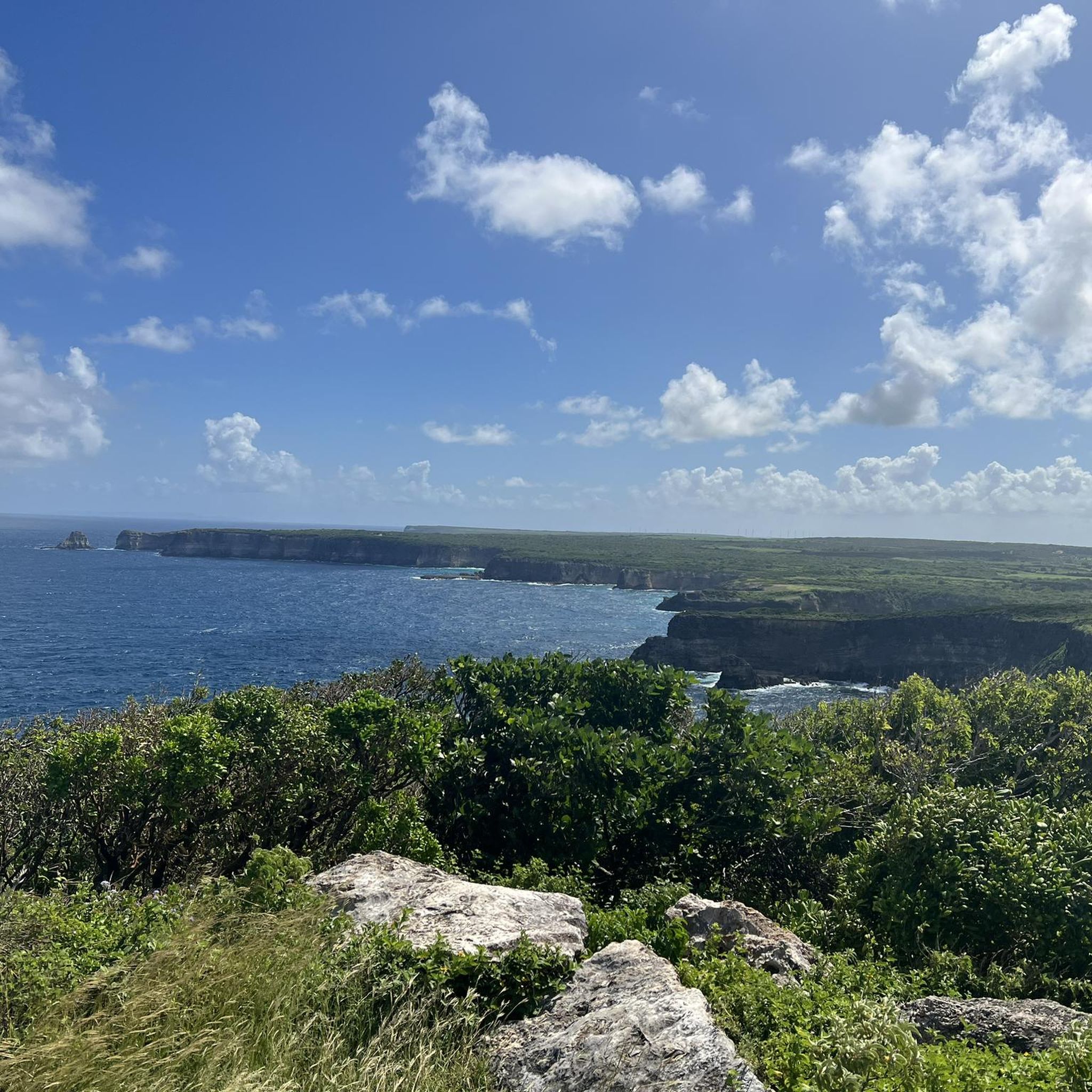
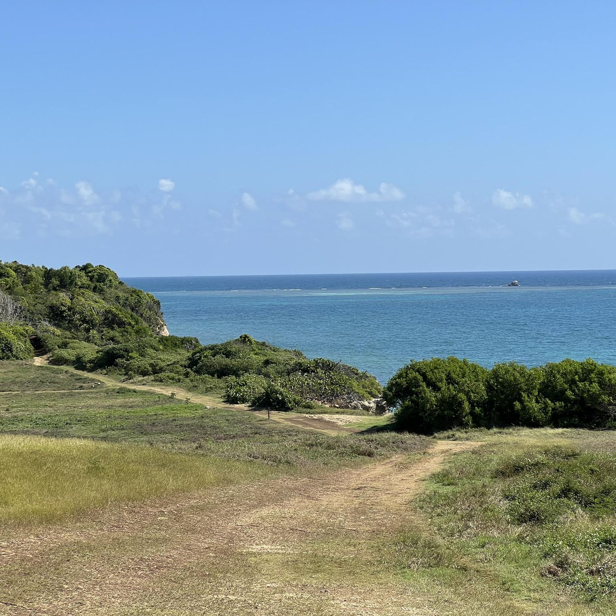
Hiking in Grand Cul De Sac Marin offers diverse landscapes, characterized by extensive mangrove forests and coastal paths. The region features numerous wild islets and is enclosed by vibrant coral reefs, contributing to its rich biodiversity. Terrain for hiking varies from flat coastal trails to more rugged inland routes, accommodating different skill levels. This area is recognized as a Ramsar Site, highlighting its ecological importance.
Best hiking trails in Grand Cul De Sac Marin
- The most popular hiking route is Sainte-Anne Beach – Pointe d'Antigue loop from Port-Louis, an 8.4 miles (13.5 km) trail that takes 3 hours 26 minutes to complete. This moderate route offers coastal views and varied terrain.
- Another top favourite among local hikers is Pointe Nogent – Pointe Allègre loop from Plage de Clugny, a moderate 5.9 miles (9.5 km) path. This trail provides scenic coastal vistas and passes through diverse landscapes.
- Local hikers also love the Pointe Nogent – Pointe Allègre loop from Plage des Amandiers, a 5.0 miles (8.1 km) trail leading through coastal areas, often completed in about 2 hours 5 minutes.
- Hiking in Grand Cul De Sac Marin is defined by extensive mangrove forests, coastal paths, and views of numerous islets. The network offers options for different ability levels, from easy strolls to more challenging routes.
- The routes in Grand Cul De Sac Marin are highly rated by the komoot community with an average score of 4.1 stars from over 200 reviews. More than 1,800 hikers have used komoot to explore Grand Cul De Sac Marin's varied terrain.
Last updated: July 15, 2026
4.9
(20)
241
hikers
13.6km
03:27
40m
40m
Moderate hike. Good fitness required. Easily-accessible paths. Suitable for all skill levels.
4.7
(26)
228
hikers
9.40km
02:26
60m
60m
Moderate hike. Good fitness required. Easily-accessible paths. Suitable for all skill levels.

Sign up for free
4.6
(28)
237
hikers
8.02km
02:05
50m
50m
Moderate hike. Good fitness required. Easily-accessible paths. Suitable for all skill levels.
4.0
(2)
23
hikers
5.35km
01:28
80m
80m
Easy hike. Great for any fitness level. Easily-accessible paths. Suitable for all skill levels.
24
hikers
15.8km
04:14
180m
180m
Moderate hike. Good fitness required. Easily-accessible paths. Suitable for all skill levels.
Get access to more routes and recommendations from other explorers.
Sign up for free
Already have an account?
Our route recommendations are based on thousands of hikes, rides, and runs completed by other people on komoot.
Start today with a free account
Your next adventure awaits.
Login or Signup
Tips from the Community


awesome
1
0

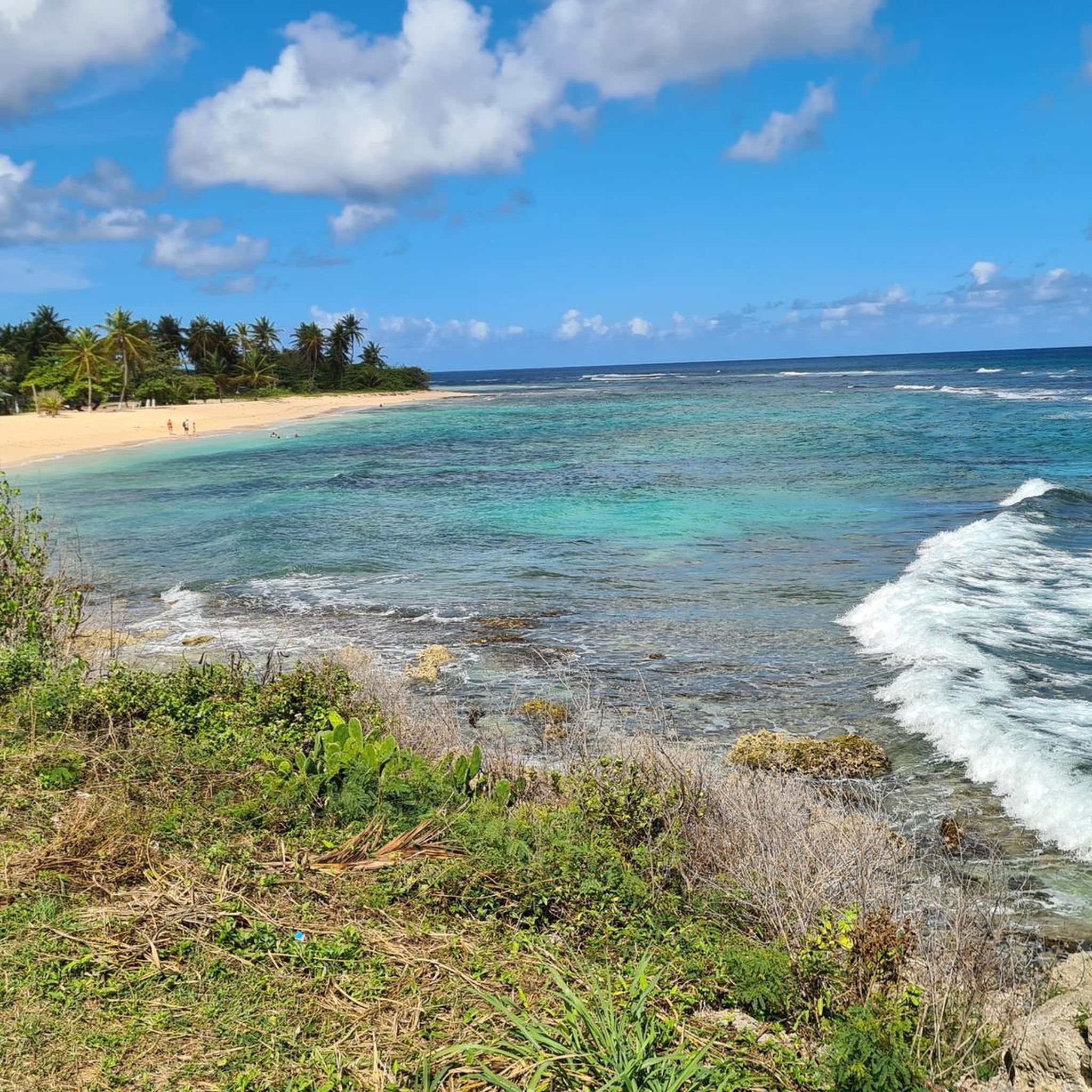
Very nice walk from La Perle beach to Cluny beach via the coastal path. Really not difficult except in wet weather because it can slip. There are plenty of small beach restaurants along the route
0
0

Very easy to access trail for everyone, extreme hiker as well as simple walker. Good portions are in the shade, but a good part is exposed to the sun, be careful to take plenty of water.
0
0


a wonderful beach, but swimming is prohibited due to strong currents. A bay further, swimming is possible.
1
0
Frequently Asked Questions
How many hiking trails are available in Grand Cul De Sac Marin?
Grand Cul De Sac Marin offers a diverse network of over 30 hiking trails. These routes cater to various skill levels, ranging from easy coastal strolls to more challenging inland paths.
What kind of terrain can I expect on hikes in Grand Cul De Sac Marin?
The terrain in Grand Cul De Sac Marin is quite varied. You'll find extensive mangrove forests, flat coastal paths, and some more rugged inland trails. While not known for dramatic summit hikes, some sections can be steep and rocky, so good footwear is recommended for certain routes.
Are there any easy, family-friendly hiking options in Grand Cul De Sac Marin?
Yes, Grand Cul De Sac Marin has several easy trails suitable for families. The region features 17 easy routes, including coastal loops that offer gentle walks. For example, the Plage de Tillet loop from Plage de Clugny is an easy 3.4-mile (5.4 km) path, perfect for a leisurely outing.
What natural features or landmarks can I see while hiking in the area?
Hiking in Grand Cul De Sac Marin allows you to explore unique natural features. You'll encounter vast mangrove ecosystems, which are vital for local wildlife. Many trails offer views of the wild islets scattered throughout the lagoon, such as Îlet Caret and Îlet Fajou, and the vibrant coral reefs that enclose the bay.
What is the best time of year to go hiking in Grand Cul De Sac Marin?
The region generally offers pleasant hiking conditions year-round. However, the dry season, typically from December to May, is often preferred for outdoor activities due to less rainfall and more consistent sunny weather, making for more comfortable exploration of the trails and coastal areas.
Are there any circular hiking routes in Grand Cul De Sac Marin?
Yes, many of the trails in Grand Cul De Sac Marin are designed as circular routes, allowing you to start and end at the same point. Popular options include the Sainte-Anne Beach – Pointe d'Antigue loop from Port-Louis, which is a moderate 8.4-mile (13.5 km) trail, and the Pointe Nogent – Pointe Allègre loop from Plage de Clugny, a moderate 5.9-mile (9.5 km) path.
What kind of wildlife might I encounter on the trails?
Grand Cul De Sac Marin is rich in biodiversity. While hiking, especially through the mangroves and along coastal paths, you might spot colorful birds, iguanas, and various marine life in the calmer waters. The area's protected status as a Ramsar Site highlights its importance for numerous species.
Is there parking available near the trailheads?
Access points for trails in Grand Cul De Sac Marin typically have parking facilities nearby, especially for popular routes. It's advisable to check specific trail information for detailed parking locations, but generally, you'll find convenient spots to leave your vehicle.
What do other hikers say about the trails in Grand Cul De Sac Marin?
The trails in Grand Cul De Sac Marin are highly regarded by the komoot community, holding an average rating of 4.1 stars from over 200 reviews. Hikers frequently praise the diverse landscapes, from the immersive mangroves to the scenic coastal views, and the variety of routes suitable for different abilities.
Are there any longer or more challenging hikes for experienced hikers?
While many trails are easy to moderate, there are options for more experienced hikers seeking longer distances. For instance, the Plage de Tillet – Pointe Allègre loop from Plage de la Perle is a moderate 9.8-mile (15.8 km) route with more elevation gain, offering a more extensive exploration of the coastal areas.
Can I combine hiking with other outdoor activities in Grand Cul De Sac Marin?
Absolutely. Grand Cul De Sac Marin is a prime location for combining hiking with other outdoor pursuits. After a hike, you can enjoy boat tours to explore the islets and coral reefs, go kayaking through the mangrove channels, or snorkel and dive to experience the abundant underwater life.
Are dogs allowed on the hiking trails in Grand Cul De Sac Marin?
While specific regulations can vary by trail and protected area, generally, dogs are permitted on many trails in Grand Cul De Sac Marin. It's always recommended to keep them on a leash and ensure you clean up after them to preserve the natural environment. Check local signage for any specific restrictions.
Most popular routes in Grand Cul De Sac Marin

Get inspired with the komoot mobile app


