The best road cycling routes in Δημόσιο Δάσος Κάτω Ολύμπου (Παντελεήμονα-Σκοτίνας)
5.0
(4)
79
riders
6
rides
Road cycling routes in Δημόσιο Δάσος Κάτω Ολύμπου (Παντελεήμονα-Σκοτίνας) offer diverse terrain with significant elevation changes. The region features dense woodlands of chestnut, beech, and fir trees, alongside open areas providing panoramic views. Cyclists encounter both paved and unpaved segments, with routes winding through traditional villages and past historical landmarks. The landscape includes views of the Mount Olympus range and the Aegean Sea.
Best road cycling routes in Δημόσιο Δάσος Κάτω Ολύμπου (Παντελεήμονα-Σκοτίνας)
- The most popular road cycling route is…
Last updated: July 11, 2026
10
riders
52.4km
02:08
190m
190m
Moderate road ride. Good fitness required. Some segments of this route may be unpaved and difficult to ride.
5.0
(1)
13
riders
47.6km
02:29
820m
820m
Moderate road ride. Good fitness required. Mostly well-paved surfaces and easy to ride.

Sign up for free
15
riders
105km
05:44
1,510m
1,510m
Hard road ride. Very good fitness required. Some segments of this route may be unpaved and difficult to ride.
5.0
(1)
12
riders
61.9km
03:21
1,020m
1,020m
Hard road ride. Very good fitness required. Some segments of this route may be unpaved and difficult to ride.
5.0
(2)
24
riders
66.2km
03:50
1,520m
1,520m
Hard road ride. Very good fitness required. Mostly well-paved surfaces and easy to ride.
Our route recommendations are based on thousands of hikes, rides, and runs completed by other people on komoot.
Start today with a free account
Your next adventure awaits.
Login or Signup
Popular around Δημόσιο Δάσος Κάτω Ολύμπου (Παντελεήμονα-Σκοτίνας)
Tips from the Community


An amazing view of Litochoro while descending the "Prionia" climb in Mt. Olympus.
0
0

The long sandy beach begins north of the mid-size town and continues all along the waterfront. The road along the beach is smooth pavement and less fast moving cars than on the highway that runs a couple of blocks further inland through the town center.
0
0
The coastal road, as well as the beach, become rougher and more rocky south of Leptokarya.
0
0
While the main road runs parallel further inlands, the paved road along the beach south of Leptokarya is less busy and has excellent views and access to the long beach. It has stones and pebbles on an underlying sand beach.
0
0
Quaint and central city park, with a fountain in a large square fenced pool along the river valley edge
0
0
Great long sandy beach all along the waterfront of this mid-size coastal town. In season there are beach chairs and umbrellas, in winter it is more natural.
0
0
At the southernmost point of the switchbacks climb, here at 700 m elevation, is an overlook and trail access into the Vithos Canyon, with sweeping views of the valley, the town of Litohoro on the other sided of the creek, and down to the coast.
0
0
Frequently Asked Questions
What kind of terrain can I expect on road cycling routes in Δημόσιο Δάσος Κάτω Ολύμπου (Παντελεήμονα-Σκοτίνας)?
The region offers diverse terrain with significant elevation changes, providing engaging challenges for road cyclists. You'll encounter both paved and some unpaved segments, winding through dense woodlands of chestnut, beech, and fir trees, as well as open areas with panoramic views.
Are there routes suitable for different fitness levels?
Yes, the area provides options for various abilities. There are 3 moderate routes and 3 difficult routes. For instance, a moderate route like Leptokarya – Litochoro from above loop from Νέου Παντελεήμονα covers 47.1 km with 816 m of elevation gain, while more challenging options like Leptokarya – Platamon Castle loop from Λεπτοκαρυά involve over 1500 m of climbing.
What scenic views can I expect while road cycling in this region?
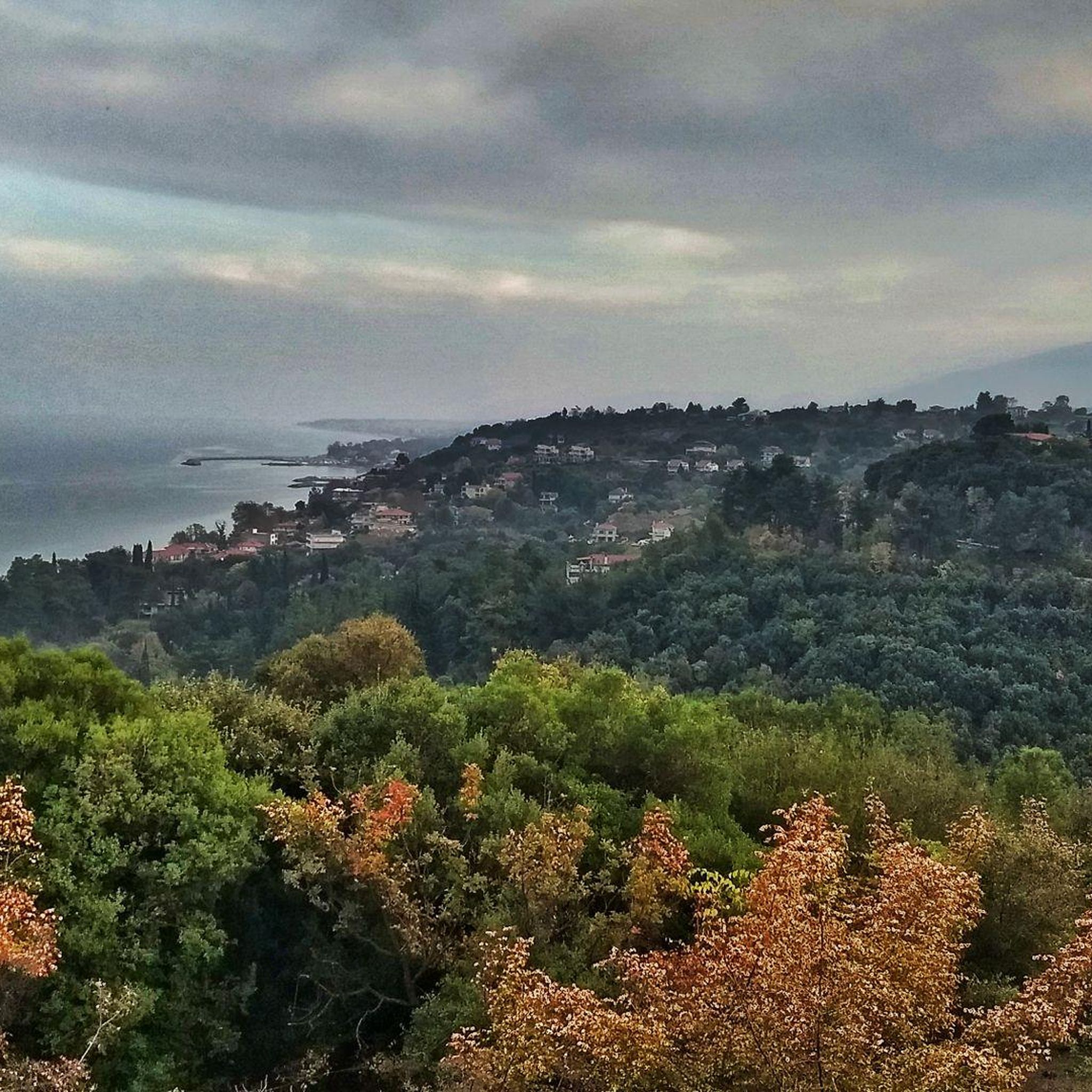
Cyclists are rewarded with breathtaking vistas. The elevated terrain offers panoramic views of the majestic Mount Olympus range to the west and the expansive Aegean Sea, including the Thermaikos Gulf, to the east. Many routes also pass through lush forests and traditional villages.
Are there any circular road cycling routes available?
Yes, several routes are designed as loops. For example, the moderate Gravel road along a gravel beach – Beach boulevard loop from Νέου Παντελεήμονα offers a coastal path experience, and the challenging Πηνειός – Κοιλάδα Τεμπών Λάρισας loop from Νέοι Πόροι takes you through varied landscapes.
What historical or cultural landmarks can I see along the routes?
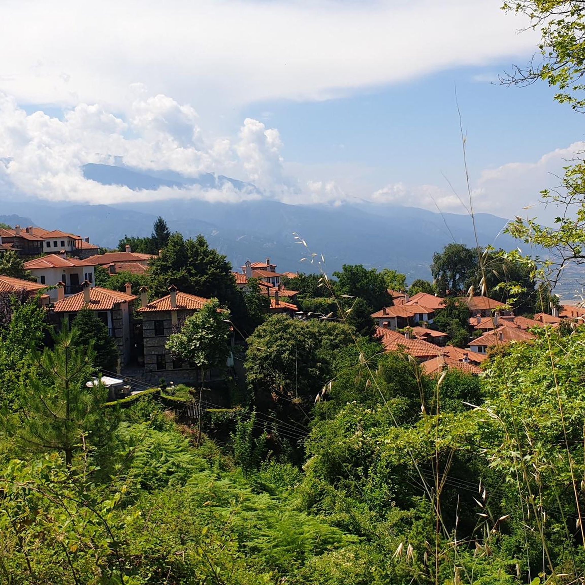
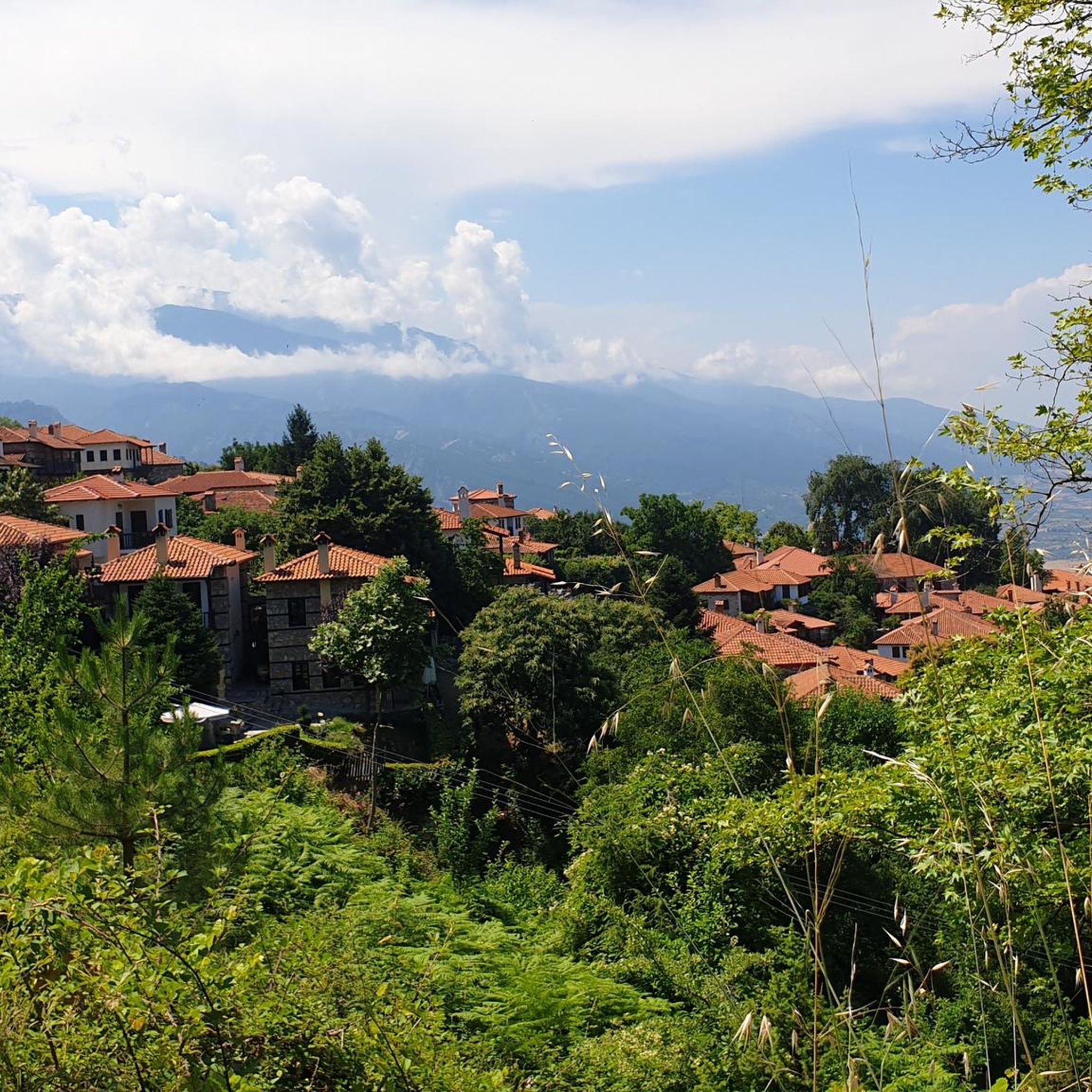
The region is rich in cultural highlights. Routes often lead through charming traditional villages such as Palaios Panteleimonas, known for its well-preserved Macedonian architecture. You can also incorporate rides that offer views of the historic Platamonas Castle, a significant landmark overlooking the Aegean Sea.
Are there any natural attractions or points of interest near the road cycling routes?
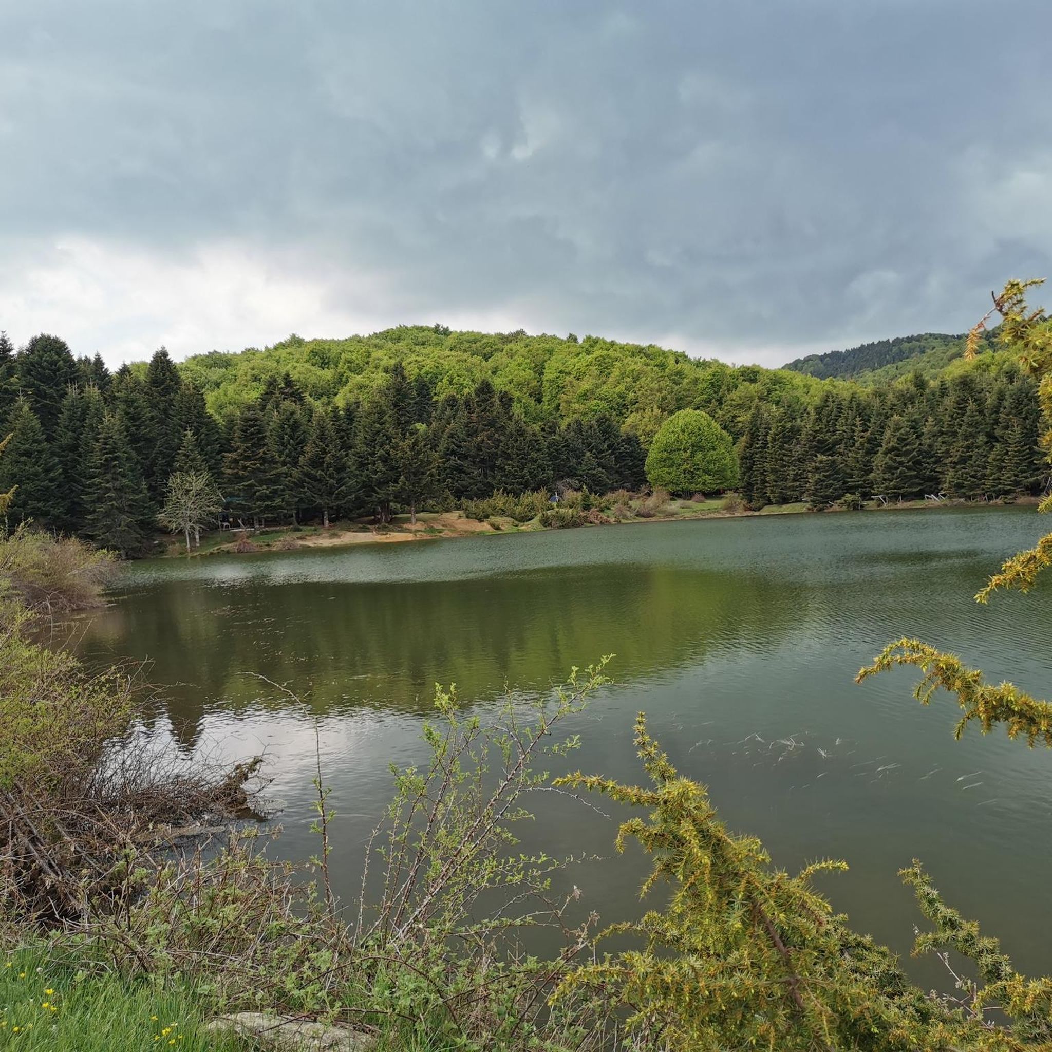
Yes, the area features several natural points of interest. You can find Lake Kati, and a rest area by the lake with barbecue facilities. The Ziliana River also contributes to the region's natural beauty.
What do other road cyclists enjoy most about cycling in Δημόσιο Δάσος Κάτω Ολύμπου (Παντελεήμονα-Σκοτίνας)?
The area is highly rated by the komoot community, with an average score of 5.0 stars. Reviewers often praise the diverse terrain, the significant elevation changes that offer a good challenge, and the rewarding panoramic views of Mount Olympus and the Aegean Sea.
How long do the road cycling routes typically take to complete?
Route durations vary based on distance and elevation. For example, a moderate route like Gravel road along a gravel beach – Beach boulevard loop from Νέου Παντελεήμονα typically takes around 2 hours, while more difficult, longer routes such as Litochoro from above – Leptokarya loop from Νέοι Πόροι can take over 3 hours.
Are there any specific routes that offer views of Platamonas Castle?
While many routes offer views of the castle, the challenging Leptokarya – Platamon Castle loop from Λεπτοκαρυά is a dedicated route that incorporates this historic landmark, providing excellent viewpoints over the Aegean Sea.
What kind of forest environments will I cycle through?
You'll cycle through dense woodlands featuring a variety of trees. At higher altitudes, you'll find chestnut, beech, fir, and conifer trees, while lower elevations are characterized by oak and walnut. These forests provide picturesque scenery and a pleasant riding environment.
Are there any facilities or rest areas along the routes?
Yes, some areas offer facilities for visitors. For instance, you can find a rest area by Lake Kati, complete with barbecue facilities, providing a convenient spot to pause and refresh during your ride.
Most popular routes in Δημόσιο Δάσος Κάτω Ολύμπου (Παντελεήμονα-Σκοτίνας)
Most popular attractions in Δημόσιο Δάσος Κάτω Ολύμπου (Παντελεήμονα-Σκοτίνας)

Get inspired with the komoot mobile app


Explore more
Browse the best Road cycling routes in other regions.
