The best road cycling routes in Δημ. Δάσος Μαυροσουβάλας (Μαρκοπούλου-Ωροπού-Καλάμου)
5.0
(5)
88
riders
17
rides
Road cycling routes in Δημ. Δάσος Μαυροσουβάλας (Μαρκοπούλου-Ωροπού-Καλάμου) traverse a hilly landscape approximately 42 kilometers north of Athens. The region features reforested pine forests and notable natural landmarks such as Lake Mavrosouvala and the "Red Cliff" (Mavrosouvala Cave). Road cyclists encounter varied topography with significant elevation changes, primarily on paved surfaces. This area provides a natural setting for rides ranging from moderate to difficult.
Best road cycling routes in Δημ. Δάσος Μαυροσουβάλας (Μαρκοπούλου-Ωροπού-Καλάμου)
- The most popular road cycling route is…
Last updated: July 8, 2026
5
riders
60.4km
03:00
650m
650m
Moderate road ride. Good fitness required. Some segments of this route may be unpaved and difficult to ride.
22
riders
Moderate road ride. Good fitness required. Mostly well-paved surfaces and easy to ride.

Sign up for free
4
riders
43.9km
02:05
520m
520m
Moderate road ride. Good fitness required. Mostly well-paved surfaces and easy to ride.
4
riders
Moderate road ride. Good fitness required. Mostly well-paved surfaces and easy to ride.
5.0
(1)
4
riders
Moderate road ride. Good fitness required. Mostly well-paved surfaces and easy to ride.
Get access to more routes and recommendations from other explorers.
Sign up for free
Already have an account?
Our route recommendations are based on thousands of hikes, rides, and runs completed by other people on komoot.
Start today with a free account
Your next adventure awaits.
Login or Signup
Popular around Δημ. Δάσος Μαυροσουβάλας (Μαρκοπούλου-Ωροπού-Καλάμου)

Tips from the Community


No problem with a bike (end of October 2025). €3 per person. Bikes are free.
0
0

Ferry to Evia about every hour. 3 Euro for person and bicycle in June 2025.
0
0

If you want to end you ride at an organized beach to get some food and water at the end of the ride is is just one kilometer north at Plaka Dilesi.
0
0
This section is set of short rolling hills with about 6% grade being the hardest. It is a nice change up.
0
0
This 2 km section of the ride is on hard packed dirt. I was able to ride it smoothly on a flatbar bike no suspension with 32mm 700C tires.
0
0
Frequently Asked Questions
How many road cycling routes are available in Δημ. Δάσος Μαυροσουβάλας (Μαρκοπούλου-Ωροπού-Καλάμου)?
There are over 19 road cycling routes in Δημ. Δάσος Μαυροσουβάλας (Μαρκοπούλου-Ωροπού-Καλάμου) listed on komoot, catering to various skill levels. You'll find 1 easy route, 17 moderate routes, and 1 difficult route.
What is the typical difficulty level for road cycling in this region?
Road cycling in Δημ. Δάσος Μαυροσουβάλας (Μαρκοπούλου-Ωροπού-Καλάμου) is primarily characterized by moderate to difficult routes due to the hilly terrain. Most routes feature significant elevation changes, providing a challenging and rewarding experience for cyclists.
Are there any easy road cycling routes for beginners or casual riders?
Yes, while the region is known for its hilly terrain, there is at least one easy road cycling route available. These routes typically have less elevation gain and are suitable for those looking for a more relaxed ride.
What kind of scenery can I expect while road cycling in Δημ. Δάσος Μαυροσουβάλας (Μαρκοπούλου-Ωροπού-Καλάμου)?
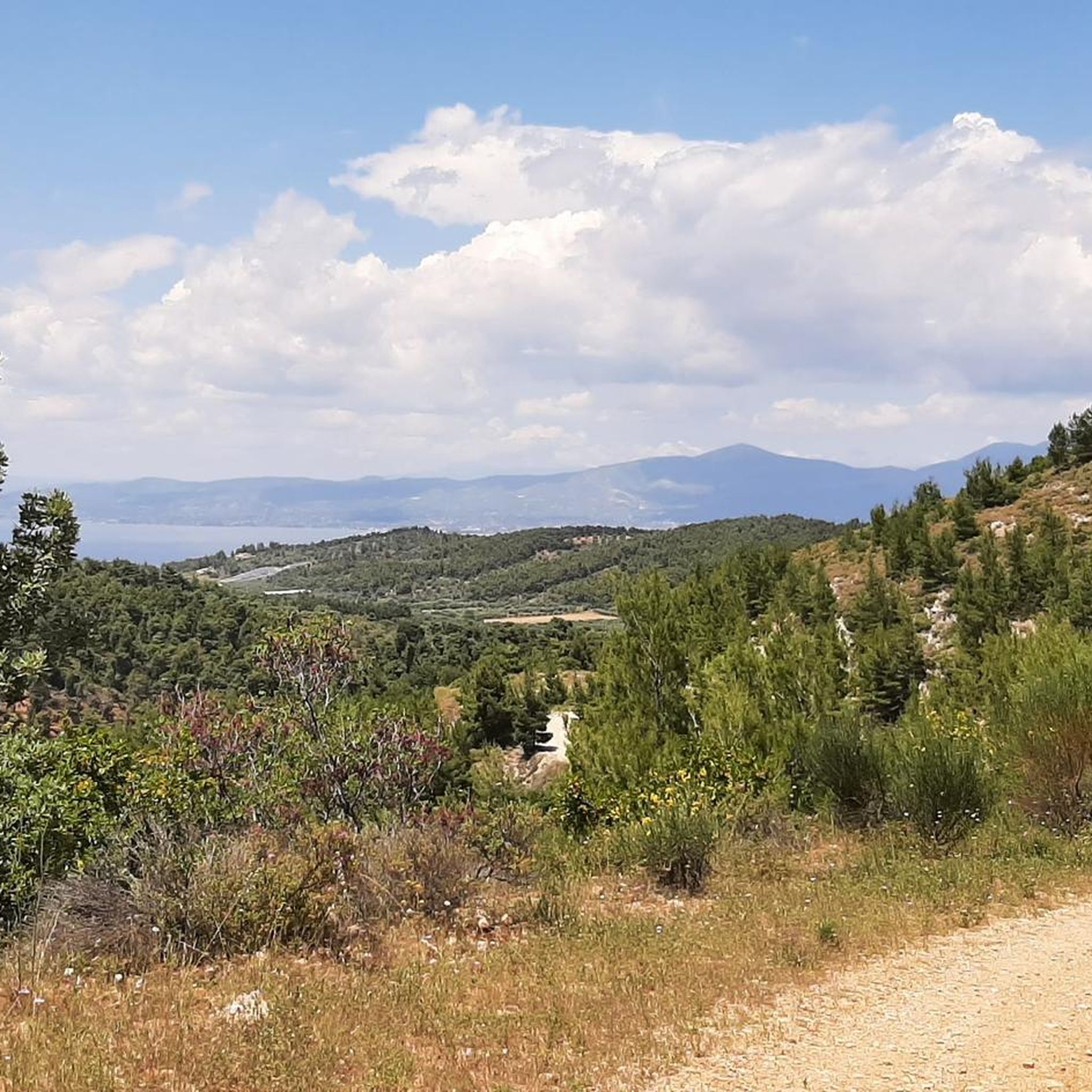
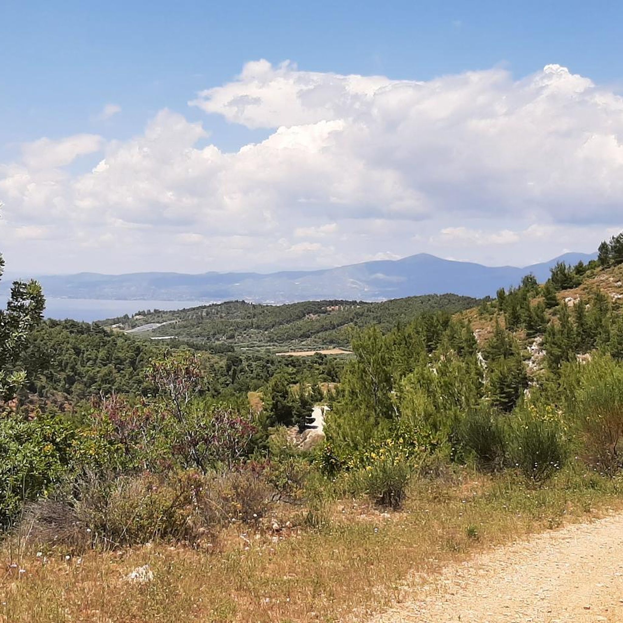
You can expect diverse scenery, including reforested pine woods, which offer natural shade and a sense of immersion in nature. Routes often provide extensive views across the landscape, and some may pass by the picturesque Lake Mavrosouvala, known for its 'Alpine beauty'.
Are there any notable landmarks or attractions along the road cycling routes?
Cyclists can encounter natural landmarks such as Lake Mavrosouvala, one of Attica's two natural lakes, offering tranquil views. The unique geological formation known as the 'Red Cliff' (Mavrosouvala Cave), a renowned sport climbing crag, also adds to the distinct visual appeal of the region.
What do other road cyclists enjoy most about cycling here?
The area is highly rated by the komoot community, with an average score of 5.0 stars. Cyclists often praise the varied topography, the challenge of the climbs, and the natural beauty of the reforested pine woods and scenic spots like Lake Mavrosouvala.
Are there any circular road cycling routes in the area?
Yes, many of the road cycling routes in Δημ. Δάσος Μαυροσουβάλας (Μαρκοπούλου-Ωροπού-Καλάμου) are designed as loops. For example, the Dilesi Square – Rolling Hills Ascent loop from Αμφιάρειο is a popular circular route, as is the Roundabout Near Afidnes – Valle de Bravo Region Entrance loop from Σφενδάλη.
What is the best time of year for road cycling in Δημ. Δάσος Μαυροσουβάλας (Μαρκοπούλου-Ωροπού-Καλάμου)?
The reforested pine forests provide natural shade, which can be particularly valuable during warmer months. Generally, spring and autumn offer pleasant temperatures for cycling, while early mornings in summer can also be enjoyable before the heat peaks.
Is there parking available for road cyclists visiting the forest?
While specific dedicated cycling parking facilities are not detailed, the region is accessible by car from Athens. Cyclists typically find parking in nearby towns or designated areas before starting their routes. It's advisable to check local parking options in areas like Markopoulo, Oropos, or Kalamos.
Can I reach the road cycling routes using public transport?
Δημ. Δάσος Μαυροσουβάλας (Μαρκοπούλου-Ωροπού-Καλάμου) is approximately 42 kilometers north of Athens, making it accessible. While direct public transport to specific trailheads might be limited, you can likely reach nearby towns via bus services from Athens, and then cycle to the starting points of the routes.
Are there any cafes or places to stop for refreshments along the routes?
While the forest itself is a natural area, nearby towns and villages like Malakasa, Afidnes, or Skala Oropou often have cafes and tavernas where cyclists can stop for refreshments. The Roundabout Near Afidnes – Coffee Stop Malakasa loop from Σφενδάλη specifically mentions a coffee stop, indicating such amenities are available in the vicinity.
What is the longest road cycling route in the area?
One of the longer routes available is the Roundabout Near Afidnes – Valle de Bravo Region Entrance loop from Σφενδάλη, which spans 86.7 km and includes over 811 meters of climbing, offering extensive views across the landscape.
What is the average elevation gain on road cycling routes here?
The region is characterized by hilly terrain, so routes typically feature significant elevation gains. For instance, the Dilesi Square – Rolling Hills Ascent loop from Αμφιάρειο has over 654 meters of elevation gain, and the Roundabout Near Afidnes – Valle de Bravo Region Entrance loop from Σφενδάλη includes over 811 meters of climbing.
Most popular routes in Δημ. Δάσος Μαυροσουβάλας (Μαρκοπούλου-Ωροπού-Καλάμου)

Get inspired with the komoot mobile app


Explore more
Browse the best Road cycling routes in other regions.
